The United States is the fourth largest county in the world, based on square mileage. At 3,796,742, it comes in behind Russia, Canada and China. About 96% of this is land and the balance is water. In many analyses of the numbers, figures are then broken into states, provinces and territories.
In some states, people can travel from one border to another in an hour or two. Rhode Island only covers 1,545 square miles, according to the Census Bureau. Most of the smallest states by square mileage are in the Northeast, and they range from Vermont and New Hampshire as far south as Delaware.
Throughout much of the nation’s history, the largest states and territories were Texas (268,596 square miles), California (163,695) and several Plains states that include Montana (147,040).
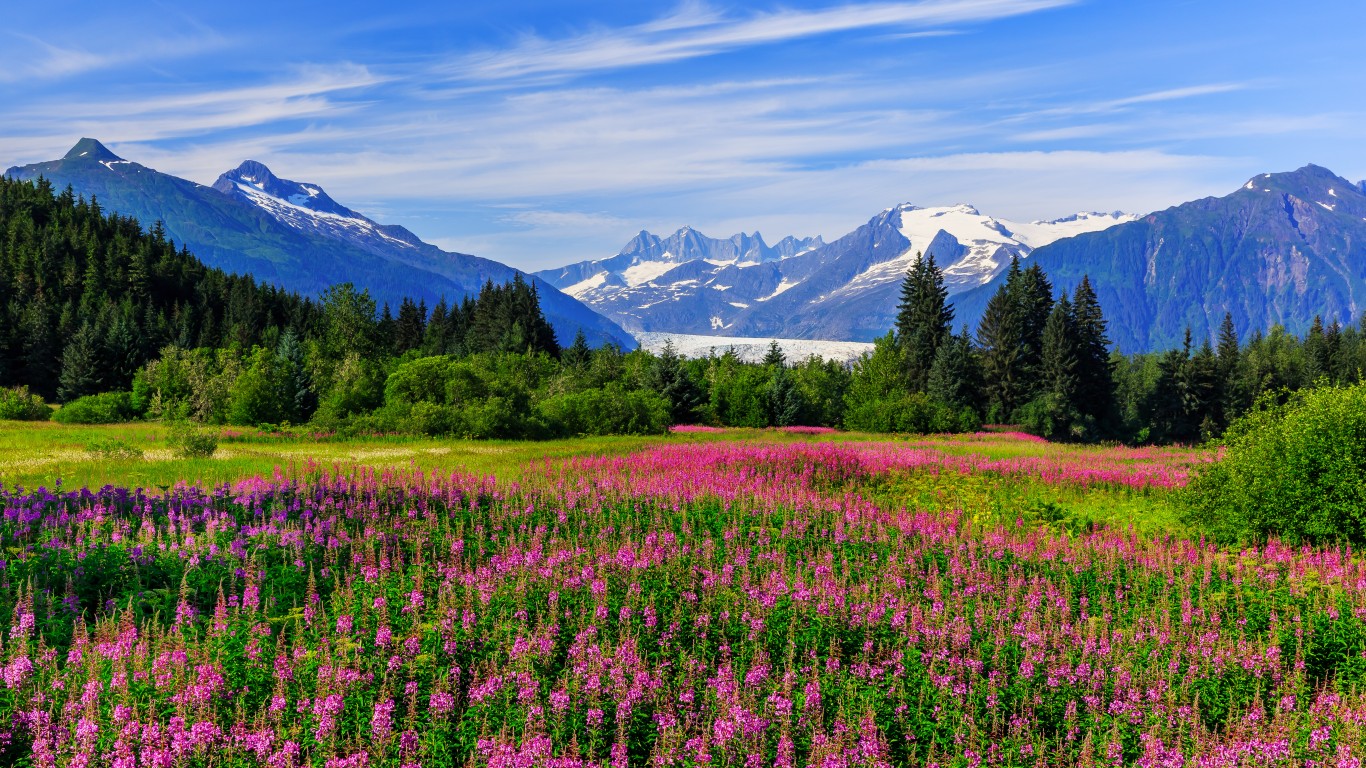
This ranking changed substantially when Alaska because a state on January 3, 1959. It is the largest state, by a large margin, at 665,384 square miles. Of that 570,641 is land and 245,383 is water.
Alaska also has the lowest population density at 1.3 people per square mile. It ranks 48th among all states based on population at only 733,391, based on the census number for 2020. It is also one of the slowest growing. Alaska’s population rose by only 3.3% from 2020. By contrast, the population density of New Jersey is 1,252.4 per square mile.
Among the problems created by Alaska’s huge square mileage is the maintenance of infrastructure. According to the Report Card for America’s Infrastructure:
Many of Alaska’s remote communities are still in need of water and wastewater systems that are safe, efficient, and sustainable, while even our most populated areas are still learning how best to handle everyday solid waste in a subarctic environment.
Unless there is a large investment in this infrastructure, these problems almost certainly will persist.
Click here to read about the best and worst states to live in.
Thank you for reading! Have some feedback for us?
Contact the 24/7 Wall St. editorial team.


