Military
Thousands of Americans Fought for These Islands that are Uninhabited Today
Published:

Some of the most vicious battles in U.S. history were fought over islands that are a household name today and others that have now been forgotten. Despite the bloodshed, some of them are completely uninhabited today. Were they worth the fight? Let’s find out.

With the maritime technology of the past, islands were necessary stopping points for naval vessels to resupply. Today, nuclear-powered vessels can stay at sea indefinitely. Islands were also useful as airstrips in an era when aircraft did not have an intercontinental range and the ability to refuel mid-air. Before satellite surveillance, it was possible to amass troops, equipment, and supplies on islands to prepare a surprise attack on an enemy. So during our past wars, seemingly insignificant islands were a vital part of our wartime strategy.

Today, even small uninhabited islands are strategically important for economic reasons. The United Nations Convention On the Law of the Sea only became effective in 1994 when enough countries had ratified it. This relatively new agreement allows countries various levels of rights to claim and exploit the ocean. In areas where countries’ claims overlap, they have to negotiate an agreement to form a maritime border or to share certain areas. Here’s what is allowed under current international law:
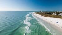
Countries can claim up to 12 nautical miles of the ocean, starting from the low-water line of the coast, as part of their national territory. If another country crosses into these waters, except when passing through designated international navigation routes, they can be considered trespassers or invaders.
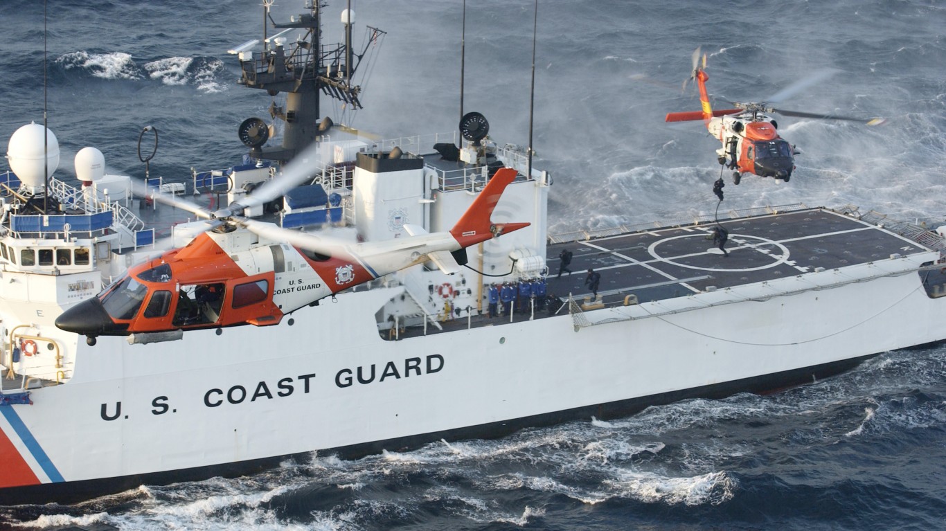
Another 12 nautical miles out from a countries territorial waters is a region considered a country’s contiguous zone. In this region, countries have the right to enforce their regulations on things like immigration, trade duties, environmental standards, and commercial activity.

Up to 200 nautical miles from their coast, countries have the right to declare an exclusive economic zone. In this area, no other country has the right to fish, drill for oil, or in any other way economically exploit the resources of the ocean. Other countries can still navigate in this region and fly over it, however.
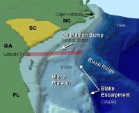
Countries can also claim the undersea continental shelf, in some cases far beyond 200 nautical miles. They must be able to demonstrate that the undersea geography shows that this region is naturally connected to their territory and an extension of it.
The high seas are fully international waters. Any country can travel through these areas, fish, and do things like laying down fiber optic cables across them. The ocean depths in these areas stretch the current engineering limits for undersea oil drilling and make costs prohibitive. As technology improves, it is possible more countries will begin to exploit these kinds of resources, leading to potential clashes.

This map shows the exclusive economic zones countries have claimed in the world’s oceans. Under today’s international agreements, even tiny remote islands have become valuable prizes. Whatever country owns them also owns miles of ocean around them that may hold untold mineral wealth and valuable fishing stocks. The thing is, islands don’t last forever. Low-lying coral atolls can disappear beneath the waves due to erosion and rising sea levels. So to preserve their claims, some countries construct sea walls around low islands and dredge the ocean floor to bring up sand to increase their land area. A notable example is China’s island-building activity in the South China Sea.
Next up, 6 islands the U.S. fought tooth-and-nail over that don’t have a single inhabitant today.

Valcour Island is located in Lake Champlain on the New York-Vermont border. It’s about 1×2 miles and 968 acres. It’s in a temperate climate with deciduous and pine trees and a nesting site for birds. During the Revolutionary War it was the site of a naval battle between American and British forces. The Continental Army had failed to capture Quebec, so the British forces concentrated there were moving south into upper New York. An American fleet of 15 vessels on the lake under the leadership of Benedict Arnold (who was not yet a traitor), fought a fierce battle near the island against 25 British ships in October 1776. The British won, but the battle delayed them from advancing further into New York and gave the Patriots a chance to regroup and prepare their defenses during the winter. 11 American ships were destroyed and 200 men were killed or captured. Today Valcour Island is uninhabited and is preserved as a state park commemorating this strategic battle.
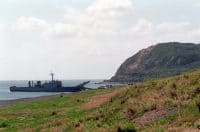
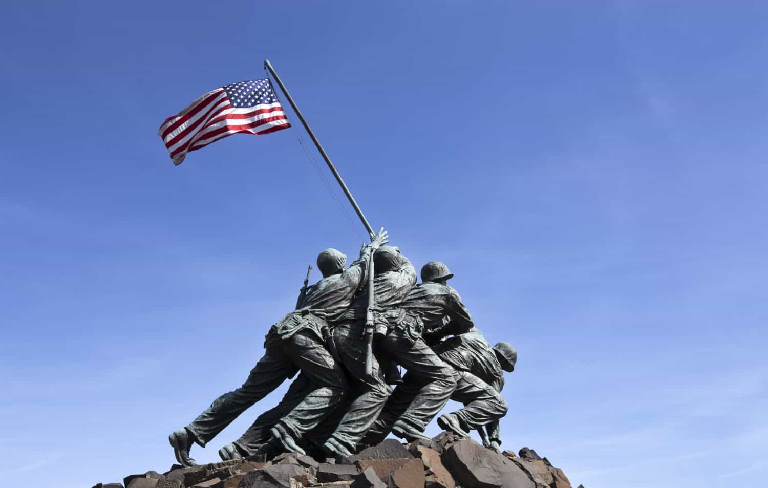
This island about 1,200 miles southeast of Japan is the site of one of the most well-known battles of the Pacific theater in World War II, memorialized in an iconic statue in Arlington, Virginia of a group of Marines raising the U.S. flag there. It is a volcanic island about 11.5 sq. mi. and rises to about 564 feet. From Feb. 19-Mar. 26, 1945, the U.S. Marines fiercely battled heavily entrenched Japanese forces to secure the island as a staging area for an invasion of Japan. Only 200 out of 21,000 Japanese troops survived. Of the 70,000 Americans who invaded, 7,000 died. The tenacious Japanese resistance gave military planners pause in considering the costs of an invasion of Japan, and contributed to the decision to use the atomic bomb. Today the island has no permanent civilian population. The Japanese military stations small units there to respond to maritime emergencies in the area.
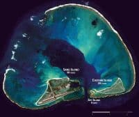
Midway is a coral atoll that is geographically part of the Hawaiian islands but administratively is managed by the U.S. federal government as a territory and a wildlife refuge. It is about 2.4 sq. mi. in size and made up of three islets. It’s home to albatrosses, seals, and sea turtles as well as diverse marine life in its coral reefs. About 40 personnel from the U.S. Fish and Wildlife Service work there on wildlife conservation tasks.
In World War II the decisive Battle of Midway took place there from June 4-7, 1942. The Japanese tried to capture the island, perhaps as a first step toward taking the rest of the Hawaiian islands. The U.S. intercepted Japanese communications and with this intelligence won the battle, sinking 4 Japanese aircraft carriers. This began to turn the tide of the war in the favor of the Allies.
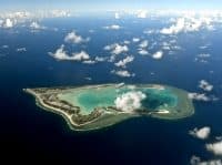
Wake is a coral atoll in the central Pacific about 2,138 miles west of Honolulu and 2,079 mi. from Japan. This made it strategically important for each country as a staging area and air base to strike at the other. It belonged to the U.S. since 1899 and had about 500 U.S. Marines and contractors on when it was attacked on Dec. 8, 1941, just one day after the attack on Pearl Harbor. Japan was able to capture it, but lost several ships in the process. There were about 100 American casualties. The U.S. regained control of it after the Japanese surrender in 1945. Today it is a U.S. territory managed by the Air Force with no permanent population, but about 100 members of the military and contractors rotate through to manage the facilities there. Military aircraft can refuel there and it is also used as a test site for missile defenses. Its location makes it a strategic spot to detect and intercept potential North Korean ICBM launches toward U.S. territory.
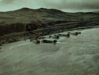
Attu and Kiska are the last two Alaskan islands in the Aleutian chain, closest to Russia . . . and Japan. In June 1942 Japan occupied both islands and the U.S. retook them a year later. The American amphibious landing on Kiska is pictured in the colorized historical photo above. Conditions were harsh in the subpolar climate of these windswept islands. The Japanese suffered 2,351 fatalities and the U.S. lost 549 troops. Today both islands are administered by the U.S. National Park Service in the Aleutian Islands World War II National Historic Area and the Alaska Maritime National Wildlife Refuge. There is no civilian population on the islands and public access is heavily restricted. Which may speak not only to their historic value and the priority of preserving the ecosystem there, but their continuing strategic importance due to their proximity to Russia and, perhaps, as a potential site for early interception of North Korean missile launches.
Retirement planning doesn’t have to feel overwhelming. The key is finding expert guidance—and SmartAsset’s made it easier than ever for you to connect with a vetted financial advisor.
Here’s how it works:
Why wait? Start building the retirement you’ve always dreamed of. Click here to get started today!
Thank you for reading! Have some feedback for us?
Contact the 24/7 Wall St. editorial team.