Population and Social Characteristics
How Close Are You to One of the Most Dangerous Neighborhoods in America?
Published:

According to the FBI’s Crime Data Explorer (CDE), in 2023 there were 1,201,857 violent crimes committed in the United States. Violent crimes include homicide, rape, robbery, and aggravated assault. 945,601 of those crimes were committed by people in the age group of 20-29. The largest demographic of offenders based on race, sex, and ethnicity are white.

Because there isn’t a statistically precise list of the most dangerous neighborhoods in the United States that aren’t blocked behind a hefty paywall, we have pinpointed the most dangerous neighborhoods in the most dangerous cities in the United States from the most reliable sources we could find.
To give you a baseline of safety in America, the national average for total crime rate is 2.3 per 1,000 residents. Cities all over the country are made up of neighborhoods differing in safety, education level, employment rate, and household income. Just because a city appears on our Most Dangerous Neighborhoods list, doesn’t necessarily mean that it is one of the most dangerous cities in the country. Only that a singular neighborhood has a high crime rate. Large cities contain more people, often making these high-traffic areas more likely to experience violent crimes. More risk factors that can increase the rate of crimes in a city include few job opportunities, high rates of poverty, and lower education funding.
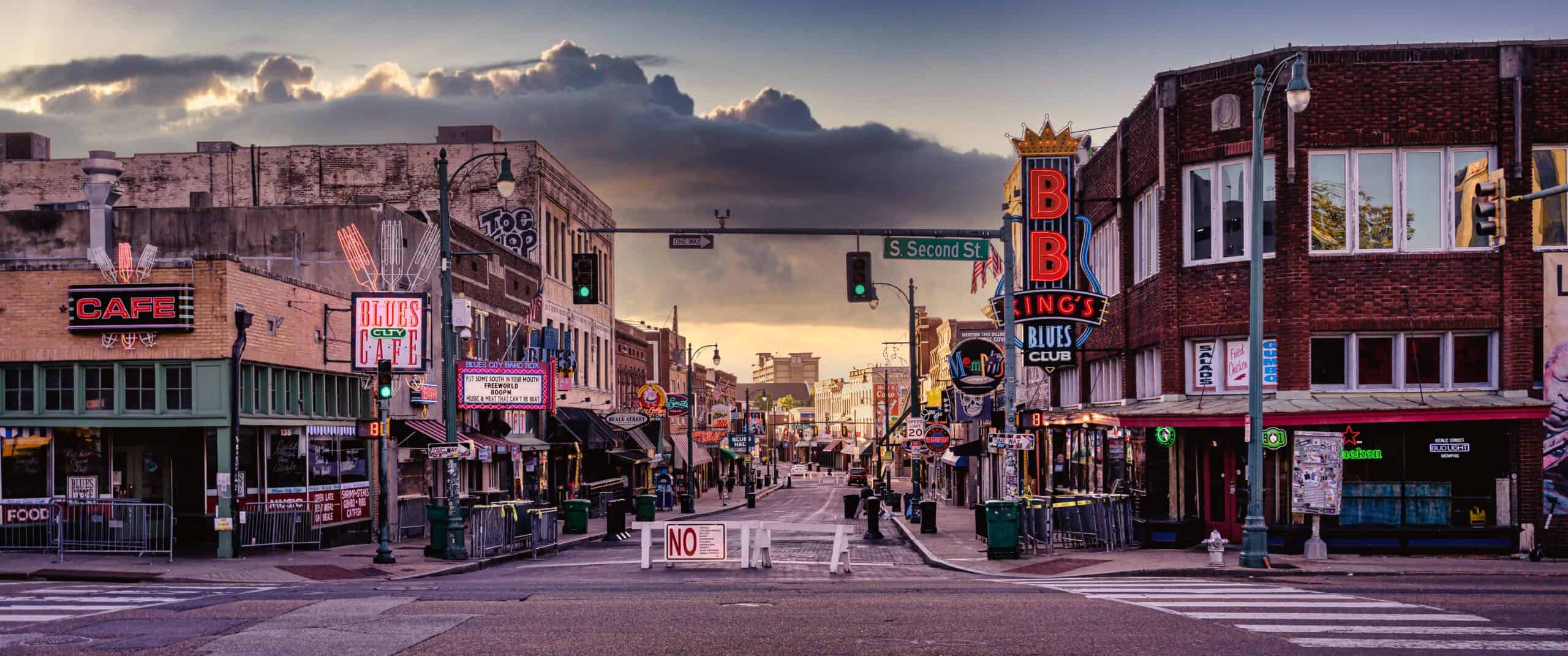
The population of this Memphis neighborhood is 34,345. It has a median home value of $63,796 and the average household income is $30,093. Although the area has a good cost of living, it isn’t accessible by public transit, isn’t walkable, and locals report that neighbors aren’t very friendly, and schools in the area are ranked poorly. Although there are plenty of parks (8 total) in the neighborhood, it is a food desert, with only three fast-food businesses in the area and no grocery stores.
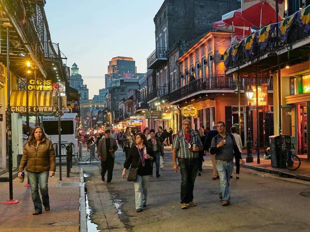
Pines Village has a population of 3,835 residents. It has an average home value of $160,175, an average household income of $22,383, and an unemployment rate of 16.8%. This neighborhood has a population of 4,107 residents with 63% of the population renters. Despite the high-unemployment rate, all 72 schools in this area are highly rated.
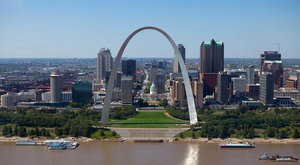
Peabody-Darst-Webbe has a long history of inequality and is now experiencing gentrification. In the mid-20th century, the area was home to housing projects which started to be replaced with mixed-income housing starting in the early 2000s. Now you will find great diversity, markets, walkability, and homes ranging from condos, and rowhomes, to modern single-family homes. An upcoming $150 Million redevelopment project to start in 2025 will modernize and update the neighborhood even further.
The unemployment rate is 10.7%, and the median household income is $48.840 with a population of 1,652.
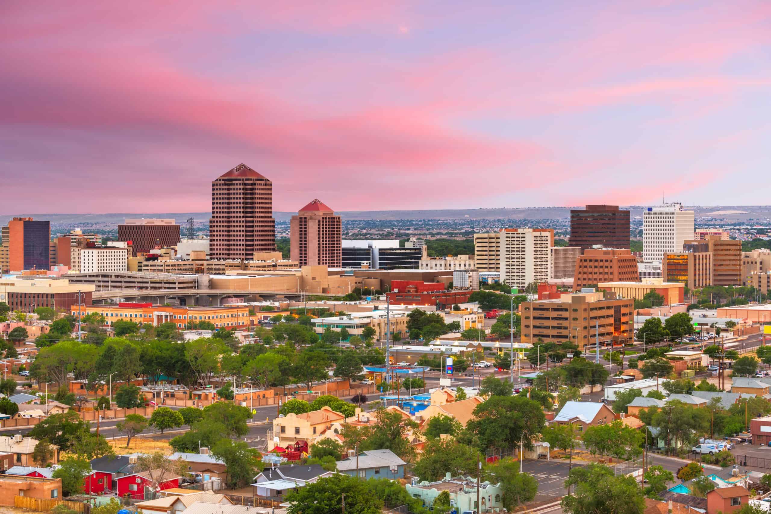
Quigley Park is home to less than 1,000 full-time residents. With such few residents, it is surprising that the crime rate is 514% higher than the national average. The median household income in Quigley Park is $69,432, and the unemployment rate is 2.1%. The average home value is $185,400. There are shops, grocery stores, and a large park in Quigley Park.
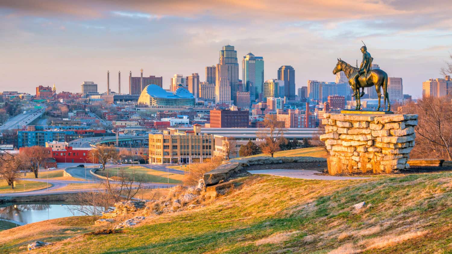
Poverty is a contributing factor in this neighborhood of Kansas City, being a part of the 0.2% most impoverished neighborhoods nationally. The median household income is $11,000 per year, and over 66% of residents are unemployed. This figure could be because the average age of the residents is 50.9 for males and 49.5 for females.
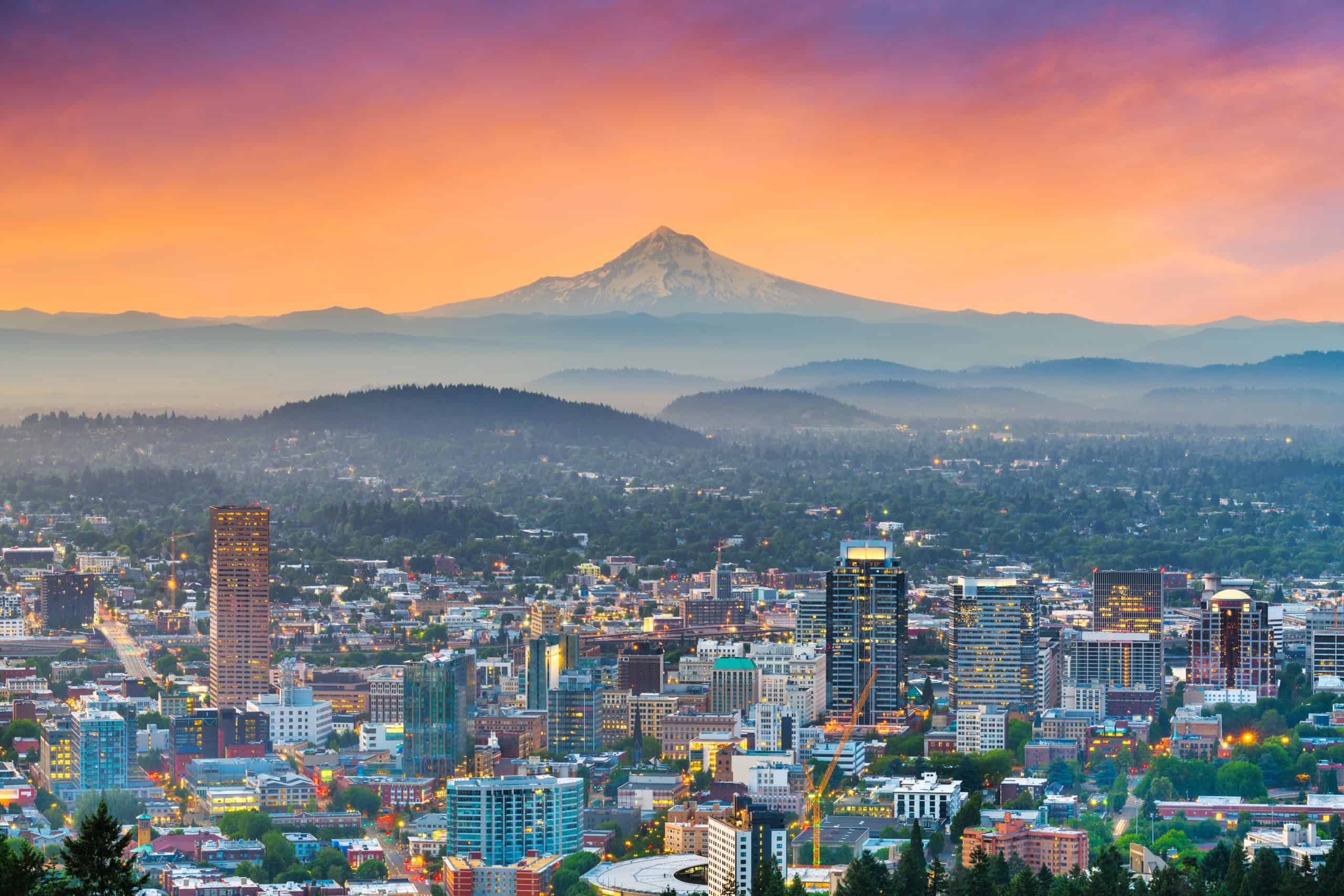
This neighborhood block is interesting in that 65% of the residents were new to the area, and the unemployment rate is higher than 96% in the country. Poverty is high in the area, with 28% of the households having a median income of less than $10,000 annually.
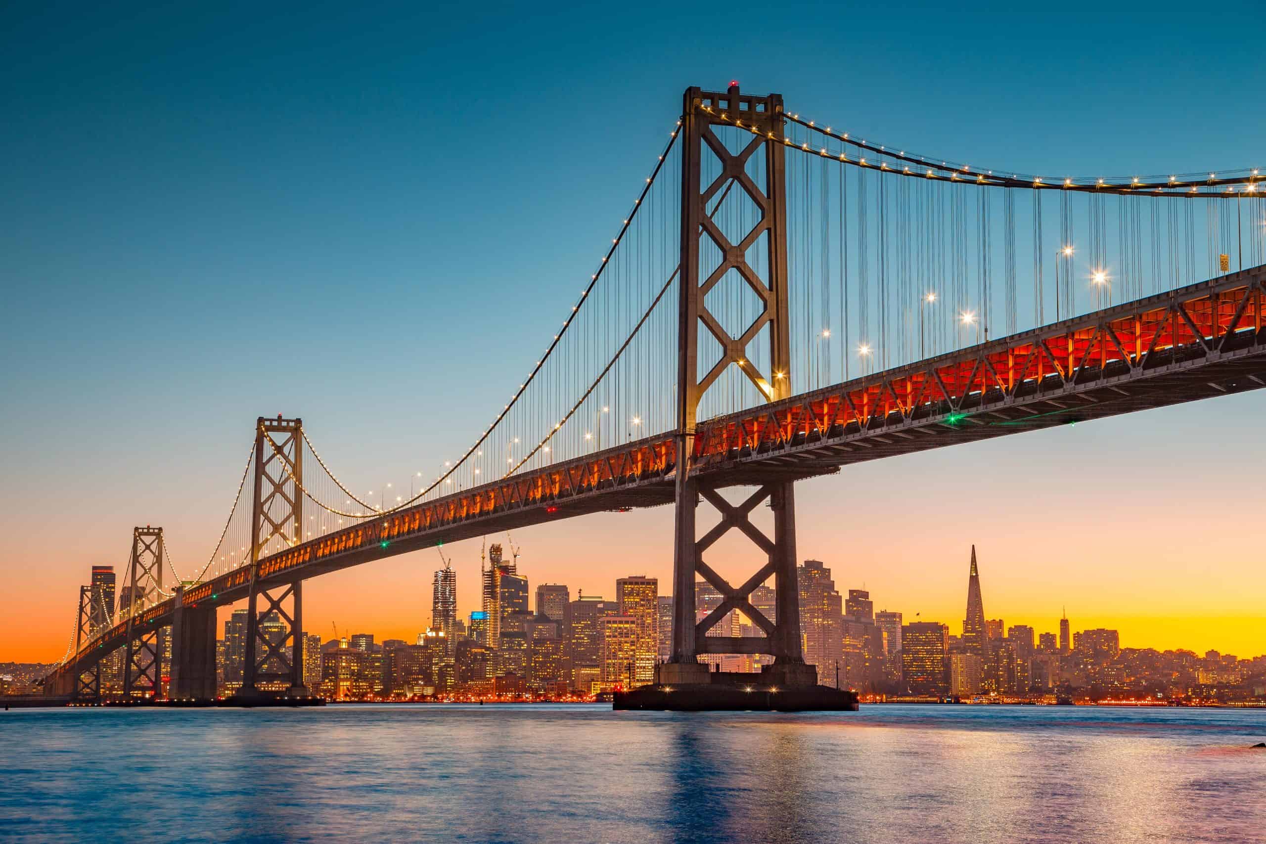
The average income in this neighborhood is $20,583, with 60% of the population unemployed. Along with other neighborhoods, some commonalities are a high percentage of males (66%), and average age of 55 years.
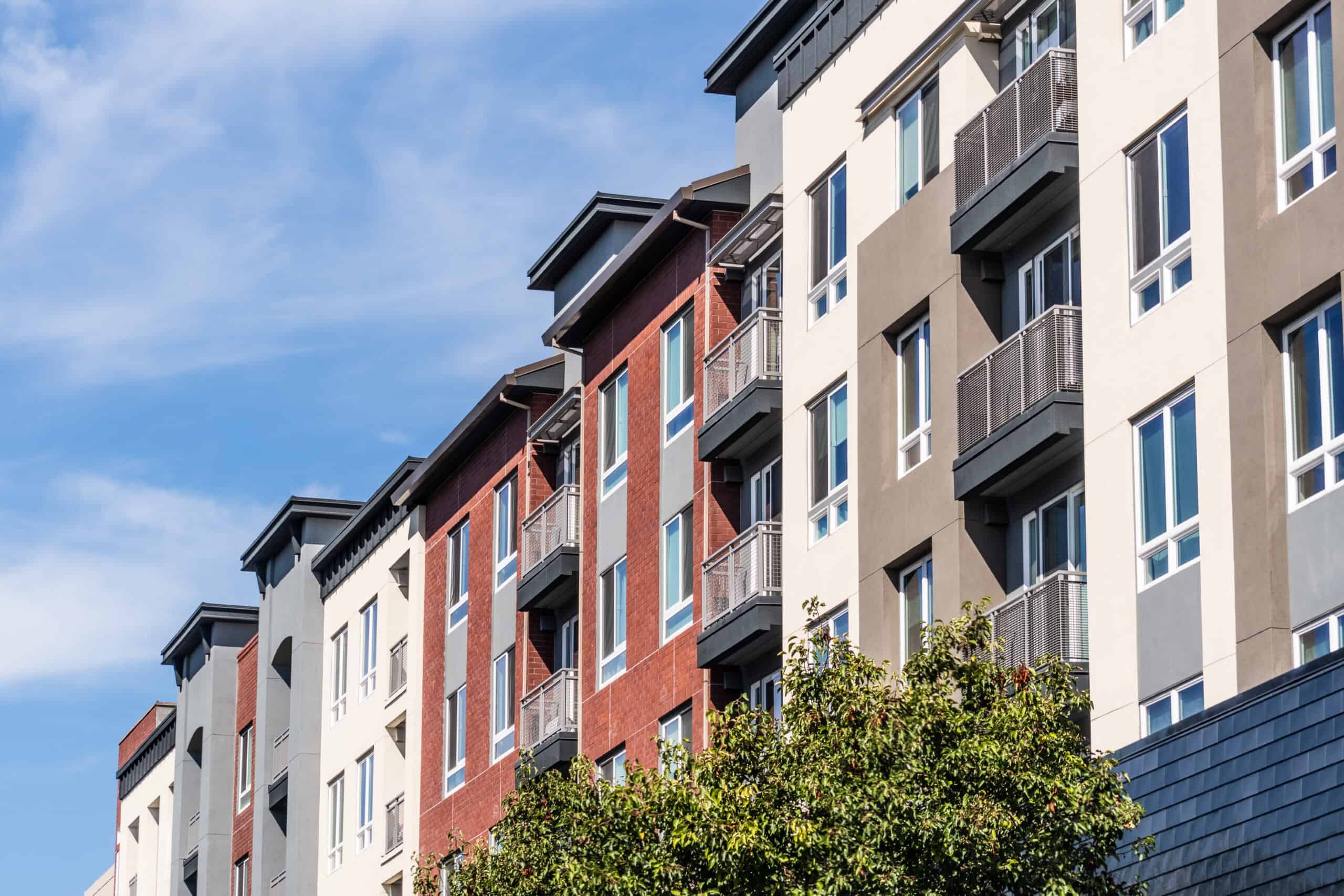
The popular Union Square in San Francisco is included in this neighborhood. Property crime is high, which includes theft, destruction, burglary, vandalism, and arson. Union Square receives about 13 million visitors per year. High-fashion luxury brands like Gucci, Balenciaga, Aritzia, Cartier, Chanel, and Giorgio Armani have their flagship stores there. Other shops range from CVS to Footlocker to FedEx, to Banana Republic; Union Square has the highest concentration of shops in the city.
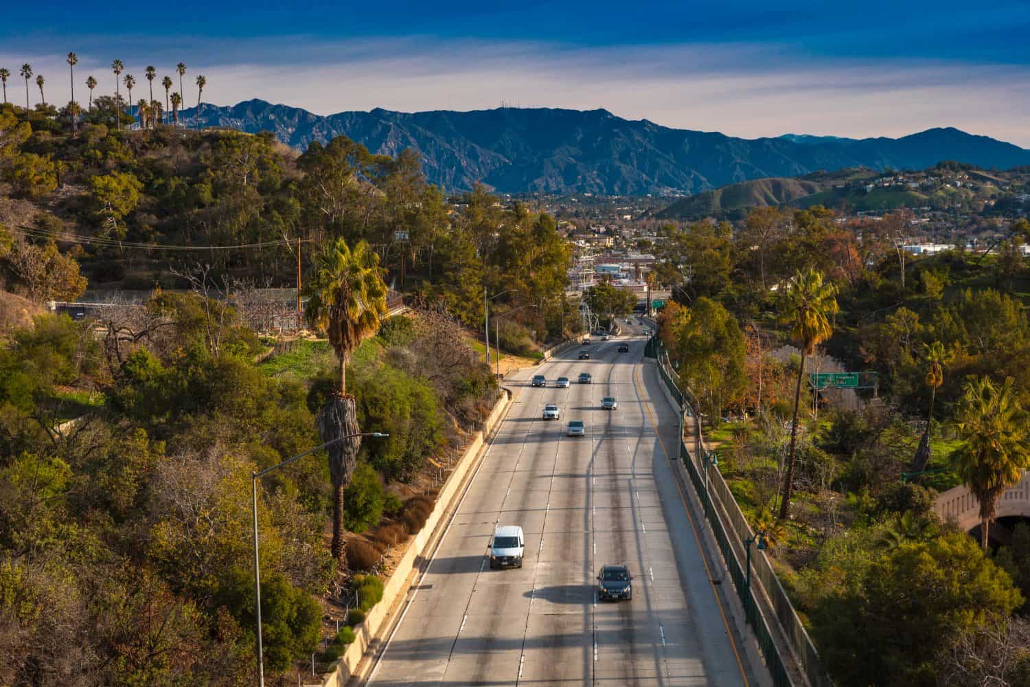
The median household income of this block group is $10,397 per year, and has one of the highest proportions of males in the nation at 86%. The average age is 56 years old, which may greatly contribute to the high unemployment rate of 68% of residents.
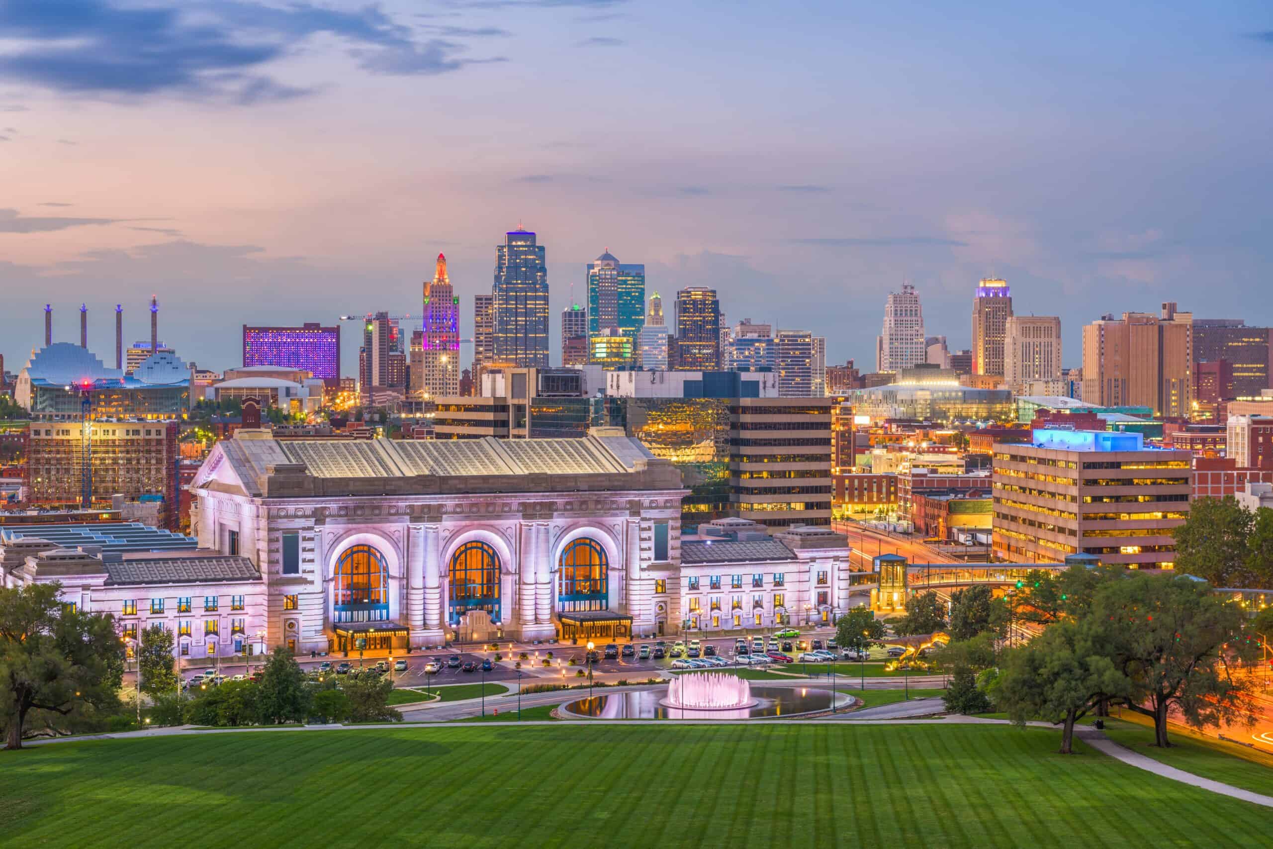
Residents in this area have a household income of $20,391. There is also a 56% unemployment rate. Besides this, there is a popular park and stadium in the area, making traffic and tourism higher than the surrounding neighborhoods.
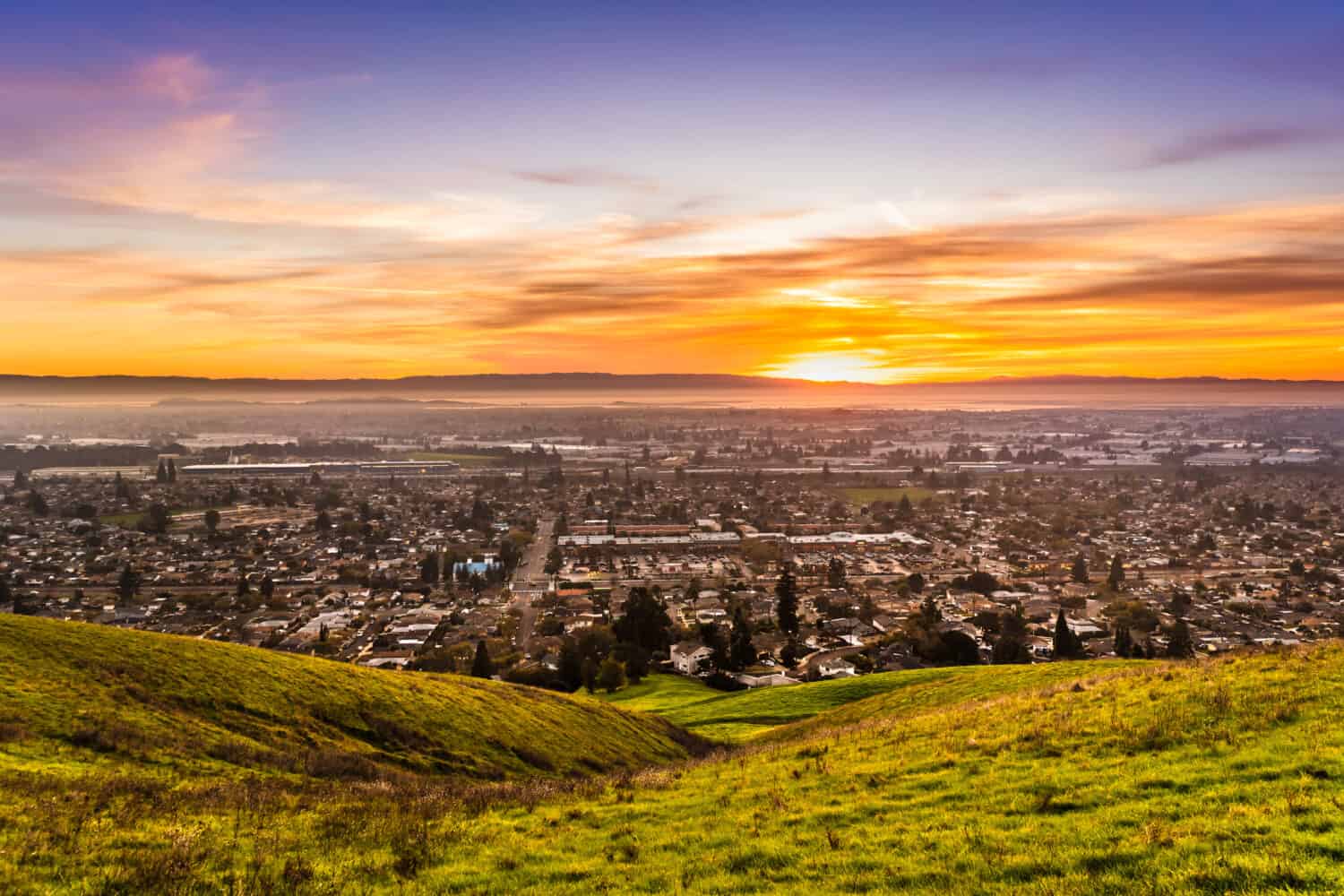
This block group is part of Downtown San Francisco. Although the median household income in this group is high, $158,958, the surrounding neighborhoods have meager median household incomes, some as low as less than $10,000 per year. That plus high tourism, traffic, and shopping in the area may contribute to the high violent and property crime rate.
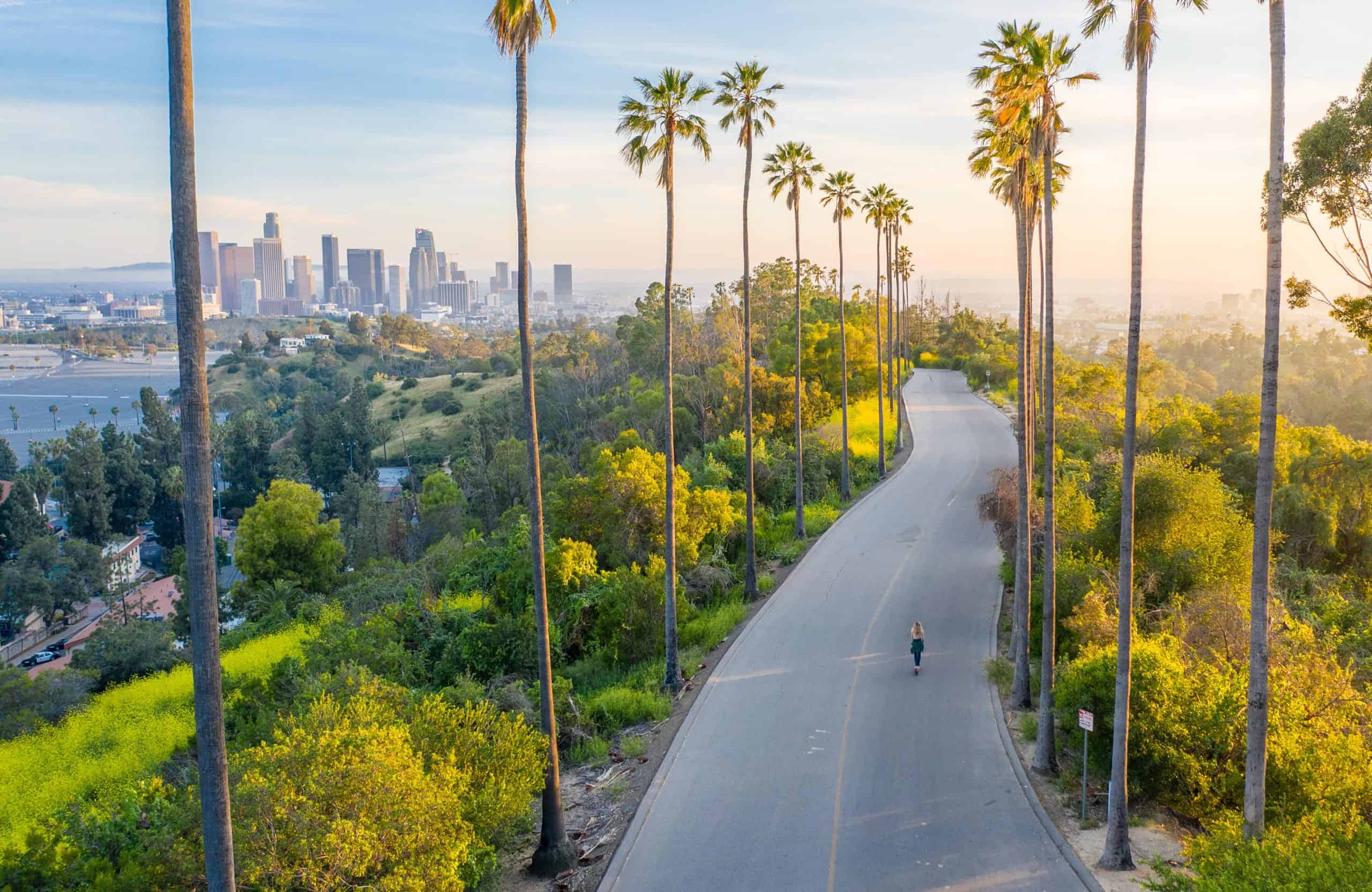
The median household income for this particular block group was $7,188 in 2018. That statistic makes it among one of the 65thpoorest neighborhoods in the country. A shared similarity with the other two LA block groups is a high percentage of male residents (69%), the difference in this neighborhood is that the median age among residents is 53 years old.

Some of the statistics in this neighborhood block have many similarities to the most dangerous block group. In this group, 64% are male, with a low unemployment rate. This neighborhood is also in downtown Los Angeles.
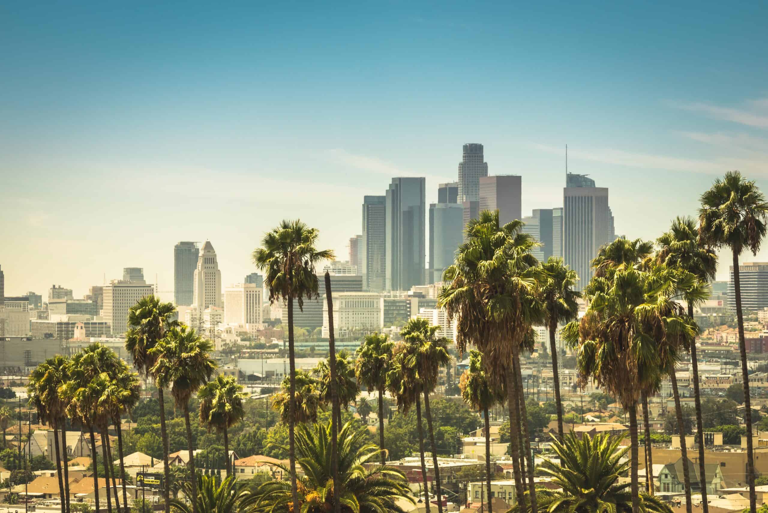
LA has a population of 3.8 million, which is more than several entire states in the United States. With that many people in an area of about 502 square miles, there are bound to be a few crimes. There are a few neighborhoods with especially high rates, the biggest being the neighborhood block contained in S. Los Angeles St., Boyd St., S. San Pedro, and E. 5th Street. According to Neighborhood Scout, and the 5-Year American Community, this is the single most dangerous neighborhood in the United States.
This block group is unique in that 89% of the population is comprised of males, 80% of the population is unemployed, and the average household income is less than $10,000. In fact, 99.98% of all neighborhoods in America have higher median household incomes. Poverty, lack of resources, lack of education, businesses, and grocery stores breed desperation, which often results in high crime.
If you’re one of the over 4 Million Americans set to retire this year, you may want to pay attention.
Finding a financial advisor who puts your interest first can be the difference between a rich retirement and barely getting by, and today it’s easier than ever. SmartAsset’s free tool matches you with up to three fiduciary financial advisors that serve your area in minutes. Each advisor has been carefully vetted, and must act in your best interests. Start your search now.
Don’t waste another minute; get started right here and help your retirement dreams become a retirement reality.
Thank you for reading! Have some feedback for us?
Contact the 24/7 Wall St. editorial team.