Special Report
Cities Where Hurricanes Would Cause the Most Damage

Published:
Last Updated:

Hurricane Harvey has strengthened to a Category 2 storm, with maximum sustained winds of 100 miles per hour, according to the National Weather Service.
Harvey is forecast to become a Category 3 hurricane with winds of at least 111 mph by the time it hits the middle Texas coast late Friday or early Saturday, the National Hurricane Center said, bringing life-threatening storm surge, rainfall, and wind hazards.
Some areas could get as many as 35 inches of rain from Harvey, forecasters from the hurricane center said. Storm-surge flooding could reach heights of as much as 12 feet above ground level on the Texas Gulf Coast.
Among the cities on the coast that could be impacted by the storm are Houston, Corpus Christi, Galveston, and Brownsville. An analysis from data analytics provider CoreLogic shows that more than 200,000 U.S. homes are at risk of Harvey storm surge damage in Texas, with an estimated $40 billion in total reconstruction cost value. CoreLogic also produces estimates on the total reconstruction costs that would be incurred if other major American cities are struck by hurricanes such as Harvey.
While a single storm like Harvey will never hit every vulnerable city along the Atlantic and Gulf coastlines, nearly 6.9 million homes, with a total reconstruction cost value of over $1.5 trillion, are at risk of damage from flooding caused by hurricanes and tropical storms. 24/7 Wall St. reviewed the number of homes at risk and the estimated construction costs for at-risk U.S. metro areas from CoreLogic. The 15 cities vulnerable to the greatest damage are listed in order of the number of homes at risk of destruction from flooding due to storm surge.
Hurricane Harvey poses the biggest threat to this part of Texas since Hurricane Rita struck in September of 2005. That storm caused one of the biggest evacuations in U.S. history — about 3 million people fled in their cars, causing massive traffic jams and even several deaths. Rita’s total damage is estimated at $12.6 billion. Rita did not strike Houston directly, but if it had, this number would likely have been higher.
By some estimates, Harvey is projected to reach the mainland as a Category 3 storm. If it does, it will be the first Category 3 or stronger hurricane to make U.S. landfall since Hurricane Wilma struck south Florida in October 2005.
Click here to see the cities where hurricanes would cause the most damage.
15. Lafayette, LA
> Total properties at risk of hurricane damage: 122,196
> Cost of reconstruction: $25.1 billion
> Population: 491,528
> Recent serious hurricane: Andrew (1992)
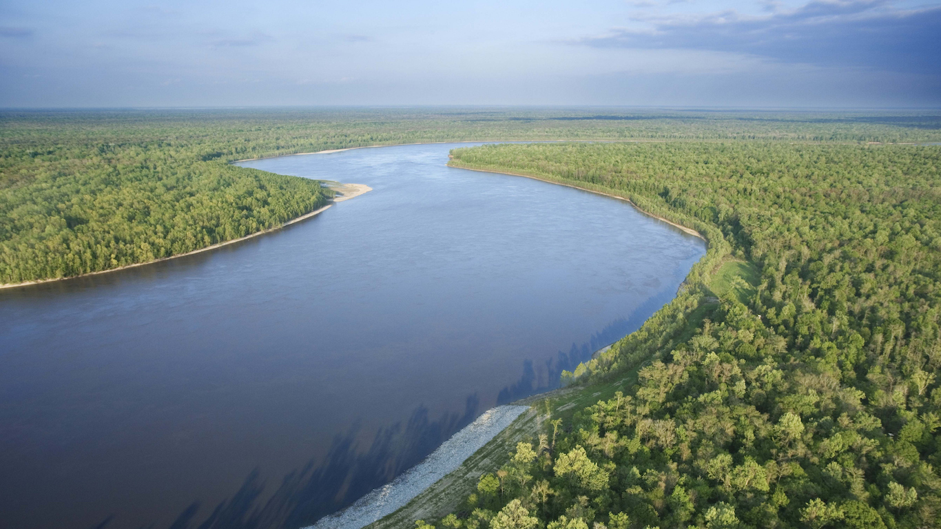
Widespread flooding in Louisiana last August caused flooding throughout much of the state, including in Lafayette. While the flood was not caused by a hurricane, the city is also very much at risk of storm surge from such an event. Lafayette managed to escape the worst of Hurricane Katrina, which made landfall in New Orleans about 120 miles east of the city, but was more directly in the path of 1992’s Hurricane Andrew. Andrew made landfall in the central part of the state after devastating large parts of Florida and moving into the Gulf of Mexico. CoreLogic estimates that the Lafayette metropolitan area has more than 122,000 homes at risk of storm surge flooding should a major hurricane strike the area today, with total property damage from such an event surpassing $25 billion.
[in-text-ad]

14. Boston-Cambridge-Newton, MA-NH
> Total properties at risk of hurricane damage: 125,689
> Cost of reconstruction: $35.9 billion
> Population: 4,794,447
> Recent serious hurricane: Bob (1991)
Though many Americans may not think immediately of New England as a high risk area for a hurricane, the Boston metro area is no stranger to serious storms, and has more homes at risk than all but 13 cities nationwide. Though somewhat sheltered by Massachusetts Bay, Boston’s proximity to the Atlantic Ocean, in conjunction with its high population density, put it at especially high risk of hurricane damage. Of the more than 1.9 million housing units across the metro area, nearly 126,000 are at risk of significant damage from a storm surge.
The damage would also be especially costly. The typical home in the area is worth $393,000, more than double the national median home value of $194,500. The total cost of repair for homeowners from a major hurricane in Boston could be as high as $35.9 billion. Boston was spared the worst effects of Superstorm Sandy in 2012, a storm that devastated much of the Northeast.

13. Myrtle Beach-Conway-North Myrtle Beach, SC-NC
> Total properties at risk of hurricane damage: 126,170
> Cost of reconstruction: $22.0 billion
> Population: 449,295
> Recent serious hurricane: Hugo (1989)
Myrtle Beach, one of South Carolina’s more populous metropolitan areas, is located on the coast. Over 125,000 metro area homes are at risk of serious damage from storm surge, should a hurricane hit the area. Myrtle Beach residents are certainly no strangers to such events. In 1989, Hugo, a Category 4 hurricane, made landfall about 100 miles south, near Charleston, taking a serious toll on both cities with storm surge of approximately 20 feet recorded north of Charleston.
The good news for Myrtle Beach is that the area’s housing infrastructure is relatively modern and may better withstand serious storm surge. Less than 40% of area housing units were built prior to 1990, the fourth lowest share among all U.S. metro areas.
12. Charleston-North Charleston, SC
> Total properties at risk of hurricane damage: 149,308
> Cost of reconstruction: $37.0 billion
> Population: 761,155
> Recent serious hurricane: Hugo (1989)
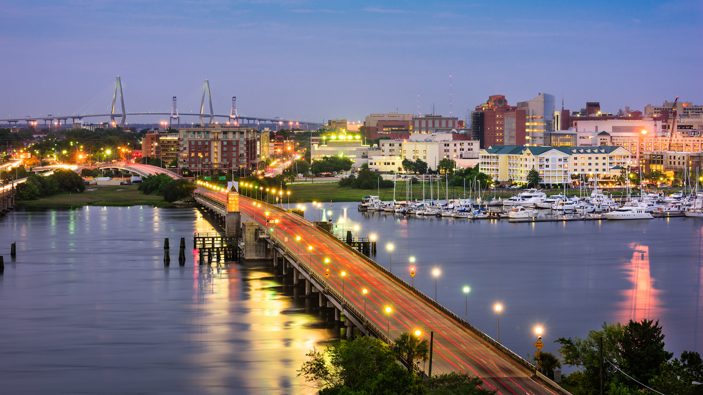
Like Myrtle Beach, Charleston, South Carolina’s largest coastal city is at risk of billions of dollars from storm surge damage should a major hurricane strike. When Hugo struck the region in 1989, it made landfall just north of Charleston and storm surge levels as high as 20 feet were recorded near the city, among the highest on record. NOAA estimates that the storm in total caused $17.6 billion in damage, including in parts of Charleston. However, with more than 25 years of real estate development in the metro area since, the amount and value of property at risk is much greater today. CoreLogic estimates the total flooding damage to single-family homes in the area today could reach $37 billion.
[in-text-ad-2]

11. Philadelphia-Camden-Wilmington, PA-NJ-DE-MD
> Total properties at risk of hurricane damage: 164,725
> Cost of reconstruction: $41.1 billion
> Population: 6,070,500
> Recent serious hurricane: Sandy (2012)
Damage to homes in the Philadelphia metro area resulting from a 2017 hurricane storm swell could total $41.1 billion. Like many other cities on this list, Philadelphia is a densely populated area where homes tend to be more expensive compared to much of the rest of the country. The metro area is one of only 11 on this list where over 150,000 single-family homes could be destroyed by a hurricane’s storm surge.
Though cities and towns throughout parts of nearby New Jersey were hit much harder by Superstorm Sandy in 2012, over half a million people lost power in Philadelphia and surrounding counties, and major roadways around the city were shut down by the storm.
10. Jacksonville, FL
> Total properties at risk of hurricane damage: 171,189
> Cost of reconstruction: $37.4 billion
> Population: 1,478,212
> Recent serious hurricane: Matthew (2016)
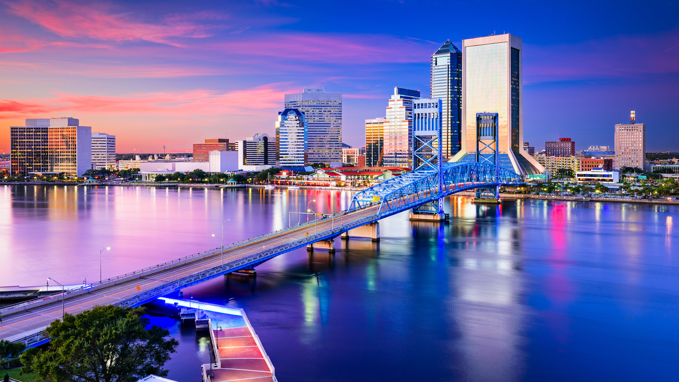
Much like in the state’s other major coastal cities, billions of dollars of property is at risk of storm surge damage from a serious hurricane in Jacksonville. There are over 170,000 single-family homes of less than four stories — the property most exposed to flooding — at risk in the metropolitan area. Last year, Category 4 Hurricane Matthew just missed making landfall in the Jacksonville area, but it still took a heavy toll on the area’s coastline, leaving hundreds of thousands of area residents without power. Winds of near 90 mph were recorded in the around Jacksonville. Matthew eventually made landfall as a Category 1 storm in South Carolina.
[in-text-ad]

9. Naples-Immokalee-Marco Island, FL
> Total properties at risk of hurricane damage: 183,090
> Cost of reconstruction: $40.8 billion
> Population: 365,136
> Recent serious hurricane: Wilma (2005)
Most of the more than 206,000 housing units in the Naples metro area are at risk of significant damage from hurricane storm swell. Naples is especially susceptible to damage caused by storm surges and flooding because of its location along the Gulf of Mexico and its relatively low elevation. While flooding damage caused by hurricanes is almost always costly, it is especially so in the Naples area. The typical Naples home is worth about $315,000, higher than in any other Florida metro area. Partially due to the area’s high-value homes, residential repair costs in the event of a serious storm could top $40.8 billion — more than in many other at-risk cities with far larger populations. In 2005, Naples suffered a near-direct hit from Hurricane Wilma, the last major hurricane to strike Florida before Hermine in 2016.
8. North Port-Sarasota-Bradenton, FL
> Total properties at risk of hurricane damage: 254,900
> Cost of reconstruction: $48.0 billion
> Population: 788,457
> Recent serious hurricane: Hermine (2016)
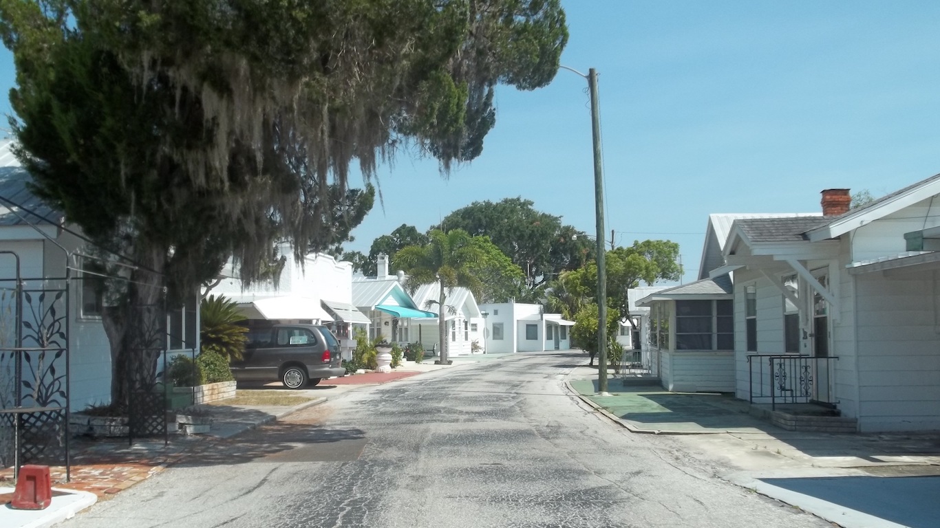
Bradenton, located about 30 miles south of Tampa, is one of Florida’s many metro areas at risk of flooding damage from a hurricane. Generally speaking, the northern part of Florida’s Gulf Coast sustains fewer hurricanes, and Bradenton has managed to avoid catastrophe several times in recent years. Both 2004’s Hurricane Charley and 2005’s Hurricane Wilma made landfall further south. Last year’s Hurricane Hermine, the first to make landfall in Florida since Wilma, struck in St. Mark’s, about 100 miles to the north. The Category 1 storm still wreaked havoc on the Bradenton area, causing heavy rains and flooding in the area.

7. Houston-The Woodlands-Sugar Land, TX
> Total properties at risk of hurricane damage: 283,380
> Cost of reconstruction: $53.4 billion
> Population: 6,772,470
> Recent serious hurricane: Rita (2005)
After Florida and Louisiana, Texas has the most homes at risk of damage from hurricane storm surge. Many of those homes are located in the Houston metro area, the fifth most populous in the United States. As with locations in Florida and Louisiana, Houston’s close proximity to the Gulf Coast puts many properties at serious risk of damage in the event of a hurricane.
The total potential reconstruction cost value of the 283,380 single-family homes in Houston in danger of hurricane flooding is nearly $53.4 billion, more than in any other Texas metro area and all but six metro areas nationwide.
[in-text-ad-2]
6. Cape Coral-Fort Myers, FL
> Total properties at risk of hurricane damage: 313,955
> Cost of reconstruction: $63.0 billion
> Population: 722,336
> Recent serious hurricane: Charley (2004)
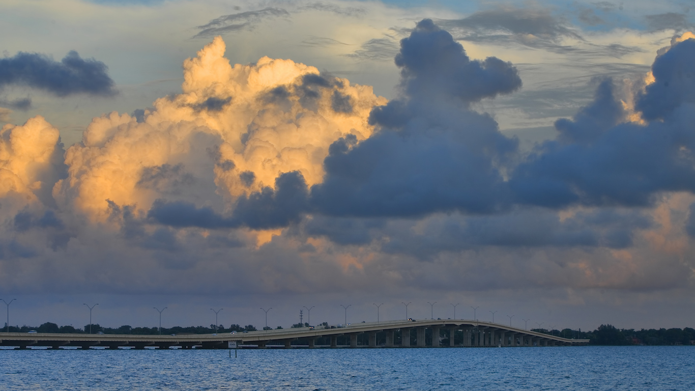
The Cape Coral-Ft. Myers metro area is located on the state’s Gulf Coast about 50 miles south of Tampa. In 2004, one of the most active hurricane seasons in recent history, Hurricane Charley made landfall at a barrier island a few miles north of Cape Coral. Parts of Cape Coral sustained heavy damage during the storm, and the storm’s total costs are estimated at $20 billion.
CoreLogic estimates that today the Cape Coral metro area alone has over $60 billion worth of homes at risk of flooding damage from a major hurricane. After Hurricane Andrew’s devastation in 1992, the state substantially updated building code requirements to improve hurricane preparedness. Less than half of Cape Coral’s properties were built prior to 1990, one of the smallest shares of any metro area in the country.
5. Virginia Beach-Norfolk-Newport News, VA-NC
> Total properties at risk of hurricane damage: 388,349
> Cost of reconstruction: $87.4 billion
> Population: 1,726,907
> Recent serious hurricane: Matthew (2016)
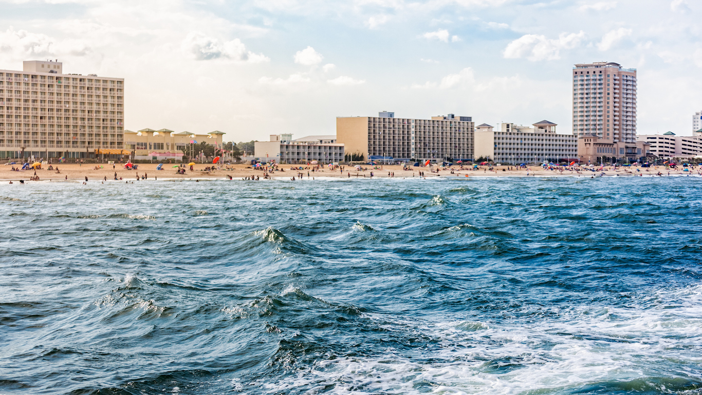
Last year’s Hurricane Matthew wreaked havoc along the coast of Florida, narrowly avoiding making landfall, before turning north. The storm eventually made landfall in South Carolina, and moved up the coast through the Carolinas and Virginia. Virginia Beach sustained heavy flooding damage — nearly every road in the area was impassable — with some flooding remaining for flooding after the event. The city spent millions on recovery. Also, over 1,400 homes were damaged.
A larger storm than Matthew has the potential to do much more damage to the Virginia Beach area. The typical area home is worth close to $240,000, one of the higher median home values in the country. Partially because of the area’s high property values, CoreLogic estimates the cost of repairs in the event of a large storm and ensuing flooding could reach $87.4 billion.
[in-text-ad]

4. New Orleans-Metairie, LA
> Total properties at risk of hurricane damage: 391,004
> Cost of reconstruction: $92.6 billion
> Population: 1,268,883
> Recent serious hurricane: Katrina (2005)
In 2005, the New Orleans metropolitan area sustained a direct hit from Katrina, which made landfall in the state as a Category 3 storm. Rainfall and storm surge caused levees protecting the city to fail, and as a result, 80% of the city was submerged. Over 1,800 people died from the storm. The storm’s total damage exceeded $150 billion across nine states, making it the costliest natural disaster in American history by a substantial margin. Today, should a repeat of Katrina occur, CoreLogic estimates close to 400,000 New Orleans homes are at risk, with a total of $92.6 billion in potential damage due to flooding.
3. Tampa-St. Petersburg-Clearwater, FL
> Total properties at risk of hurricane damage: 459,275
> Cost of reconstruction: $80.8 billion
> Population: 3,032,171
> Recent serious hurricane: Charley (2004)
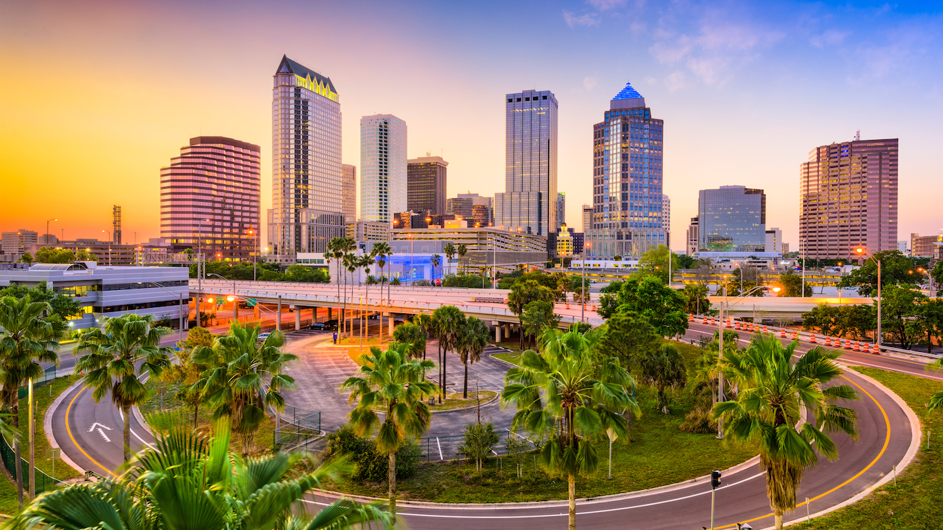
Though Florida is one of the most at risk states of hurricane damage, the Tampa metro area was hit by fewer than 10 hurricanes between 1900 and 2010. Still, the metro area remains at high risk, only narrowly escaping the worst effects of Hurricane Charley in August 2004, when the storm’s track deviated from early predictions.
Like many high-risk areas, Tampa is likely better prepared for a hurricane than many other areas. In the early 1990s, after Hurricane Andrew’s devastation, Florida updated residential building code requirements to improve hurricane preparedness and about one in five homes in the Tampa metro area were built after 1999.

2. New York-Newark-Jersey City, NY-NJ-PA
> Total properties at risk of hurricane damage: 723,183
> Cost of reconstruction: $264.3 billion
> Population: 20,153,634
> Recent serious hurricane: Sandy (2012)
While the North Atlantic coast tends to be exposed to far fewer hurricanes than the southern part or Gulf of Mexico, serious storms still occur there. And with some of the most populous cities and some of the most expensive real estate, the damage risk is substantial. This potential became a reality in 2012, when Superstorm Sandy hit the New York City Tri-State area. The storm made landfall on the southern coast of New Jersey, but still caused substantial flooding and power loss in New York City. Sandy was downgraded to a tropical storm by the time it made landfall, but nevertheless it will go on record as one of the costliest hurricanes in U.S. history, with close to $70 billion in damage reported. Should a major hurricane strike New York City directly, the costs to the metropolitan area alone could be many times greater.
[in-text-ad-2]
1. Miami-Fort Lauderdale-West Palm Beach, FL
> Total properties at risk of hurricane damage: 784,773
> Cost of reconstruction: $143.5 billion
> Population: 6,066,387
> Recent serious hurricane: Andrew (1992)
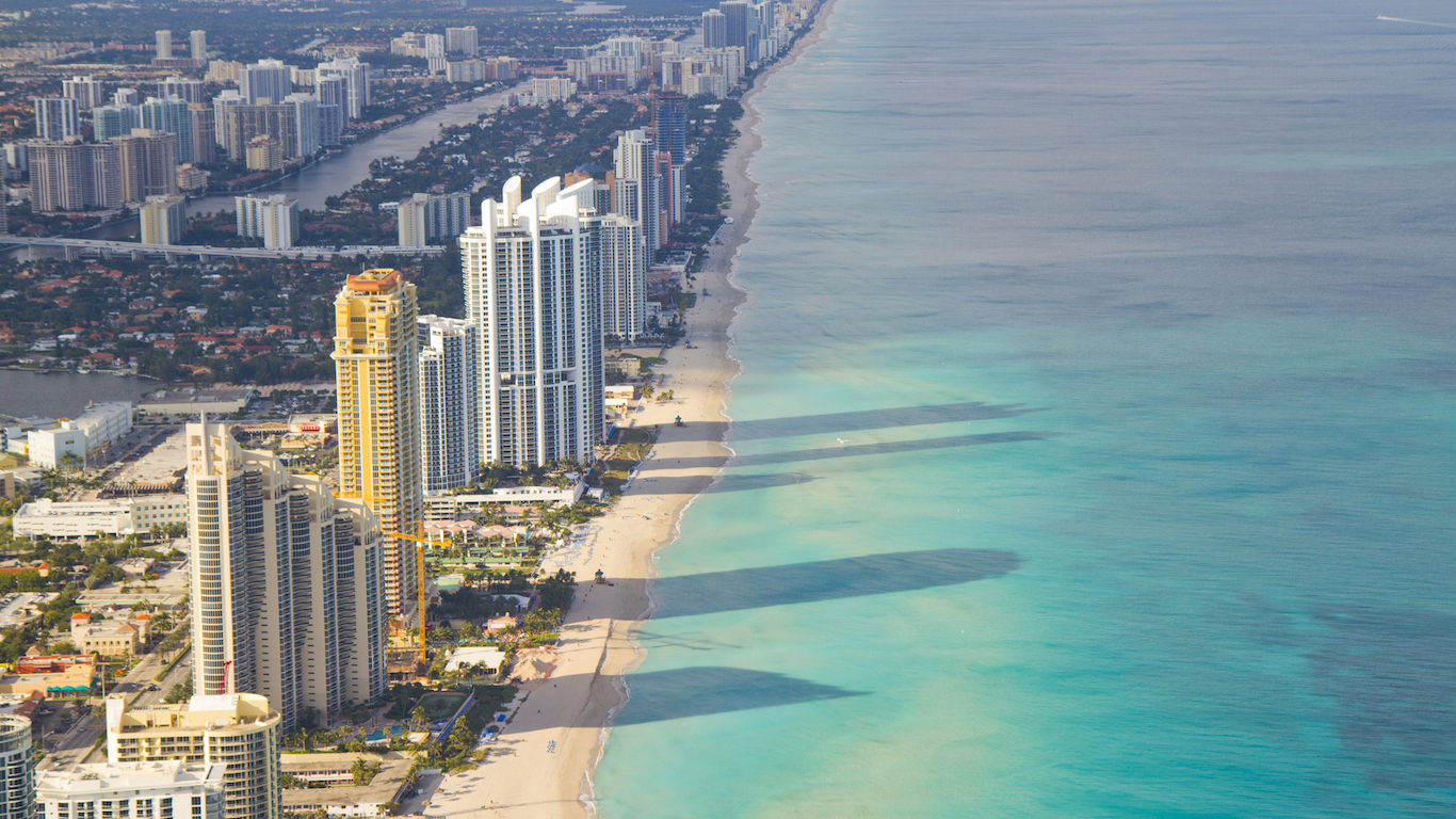
No geographic part of the United States is more exposed to direct hurricanes strikes than the southern tip of Florida. The Miami-Dade County area had at least direct strikes between 1900 and 2010 alone. Only Monroe County, which includes the Florida Keys, was hit more times during that period. Of all U.S. metropolitan areas, Miami has the most homes and the highest total property value at risk of flooding from a hurricane. In 1992, Hurricane Andrew, a Category 4 storm, made landfall in Miami-Dade. In total, the storm destroyed more than 125,000 homes and caused nearly $50 billion in damage, adjusted for inflation. While Florida updated its building code to improve hurricane preparedness after Andrew, there remain over 1.7 million Miami homes that were built prior to 1990.
Start by taking a quick retirement quiz from SmartAsset that will match you with up to 3 financial advisors that serve your area and beyond in 5 minutes, or less.
Each advisor has been vetted by SmartAsset and is held to a fiduciary standard to act in your best interests.
Here’s how it works:
1. Answer SmartAsset advisor match quiz
2. Review your pre-screened matches at your leisure. Check out the advisors’ profiles.
3. Speak with advisors at no cost to you. Have an introductory call on the phone or introduction in person and choose whom to work with in the future
Get started right here.
Thank you for reading! Have some feedback for us?
Contact the 24/7 Wall St. editorial team.