Special Report
States Where Wildfires Caused the Most Damage
Published:
Last Updated:

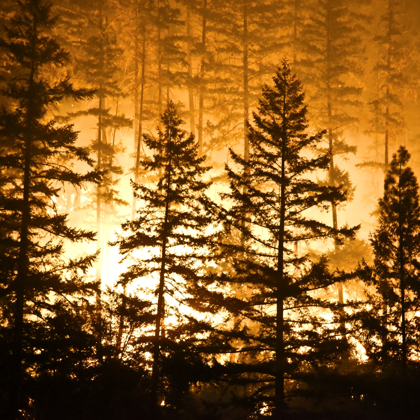
Five wildfires currently burn across California. The largest of these, which covers parts of Santa Barbara and Ventura counties, has already destroyed more than 230,000 acres and is the fifth largest in state history as of the time of this writing. 2017 marks the worst wildfire season on record for California, and the latest fires cap off a particularly terrible — and expensive — year for fires across the country.
Through December 8, 9.3 million acres have burned in the United States, compared to the 5.3 million burned last year, a 75% increase despite fewer fires. And with nearly four weeks left this year, 2017 has already the second most burned acreage in the United States in more than a decade.
Wildfires are far more common in the United States than many people likely realize. Even in one of the less active years for wildfires, 2016 still had a staggering 67,000 fires across the country. The 2016 fires burned a landmass roughly the size of the state of New Hampshire.
According to data collected by the National Interagency Fire Center, a group of connected federal agencies that monitor wildfires, every state except for Delaware had at least one unplanned forest fire in 2016.
Click here to see the states where wildfires caused the most damage in 2016.
Click here to see our detailed findings and methodology.
50. Delaware
> Area burned, wildfires 2007-2016: <0.1%
> Wildfire damage 2007-2016 : 282 acres (the fewest)
> 2016 Wildfires: none
> Planned burns 2007-2016: 571 acres (3rd fewest)
> Large (100k+ acre) fires since 1997: none
[in-text-ad]
49. Maine
> Area burned, wildfires 2007-2016: <0.1%
> Wildfire damage 2007-2016 : 4,818 acres (6th fewest)
> 2016 Wildfires: 796 (25th most)
> Planned burns 2007-2016: 2,378 acres (6th fewest)
> Large (100k+ acre) fires since 1997: none
48. Illinois
> Area burned, wildfires 2007-2016: <0.1%
> Wildfire damage 2007-2016 : 8,700 acres (7th fewest)
> 2016 Wildfires: 12 (3rd fewest)
> Planned burns 2007-2016: 151,140 acres (23rd fewest)
> Large (100k+ acre) fires since 1997: none
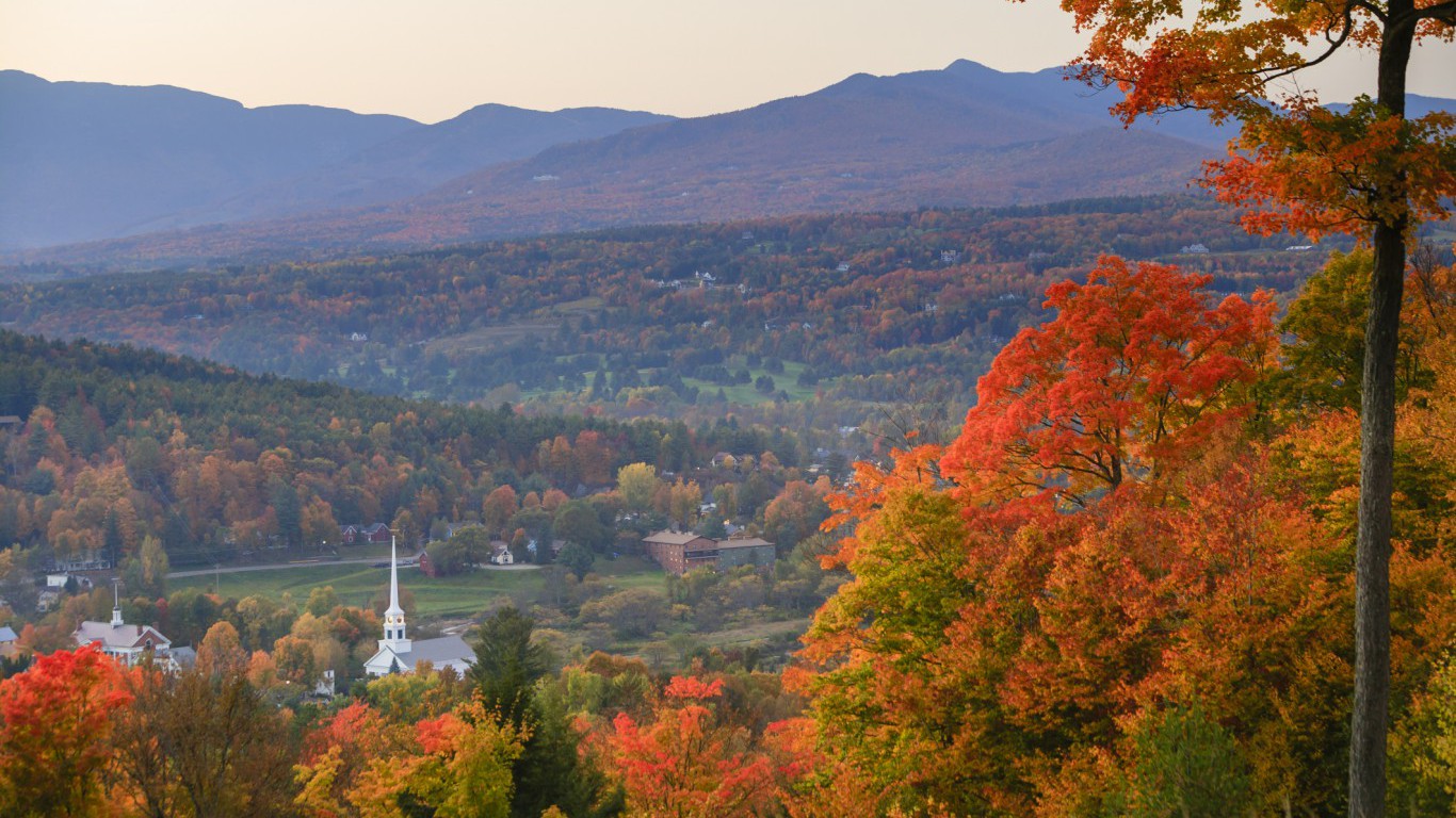
47. Vermont
> Area burned, wildfires 2007-2016: <0.1%
> Wildfire damage 2007-2016 : 2,199 acres (3rd fewest)
> 2016 Wildfires: 150 (12th fewest)
> Planned burns 2007-2016: 3,644 acres (7th fewest)
> Large (100k+ acre) fires since 1997: none
[in-text-ad-2]
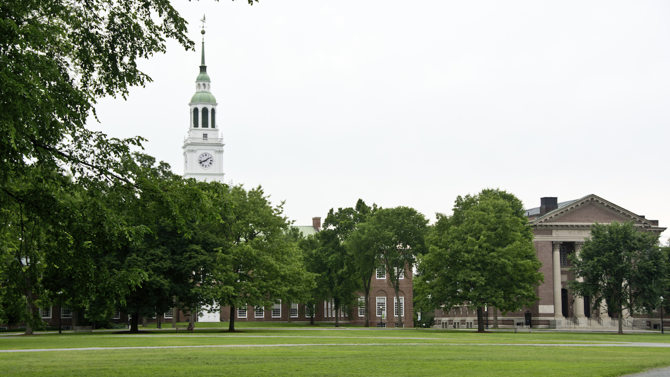
46. New Hampshire
> Area burned, wildfires 2007-2016: <0.1%
> Wildfire damage 2007-2016 : 2,664 acres (4th fewest)
> 2016 Wildfires: 148 (11th fewest)
> Planned burns 2007-2016: 1,267 acres (5th fewest)
> Large (100k+ acre) fires since 1997: none
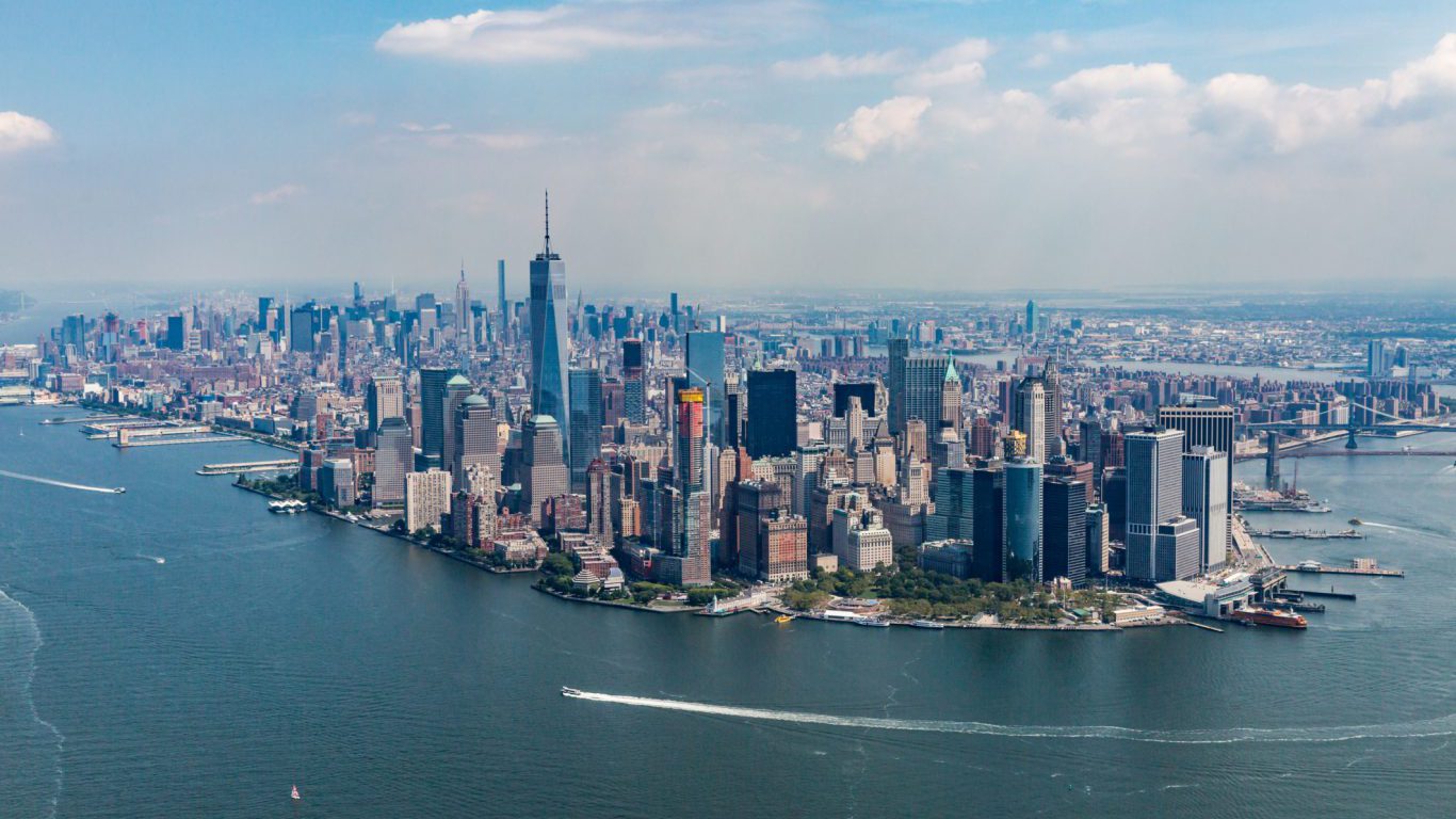
45. New York
> Area burned, wildfires 2007-2016: 0.1%
> Wildfire damage 2007-2016 : 20,069 acres (9th fewest)
> 2016 Wildfires: 196 (13th fewest)
> Planned burns 2007-2016: 7,467 acres (9th fewest)
> Large (100k+ acre) fires since 1997: none
[in-text-ad]
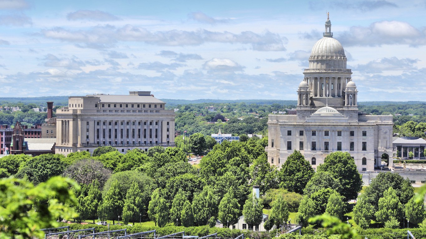
44. Rhode Island
> Area burned, wildfires 2007-2016: 0.1%
> Wildfire damage 2007-2016 : 545 acres (2nd fewest)
> 2016 Wildfires: 79 (8th fewest)
> Planned burns 2007-2016: 396 acres (2nd fewest)
> Large (100k+ acre) fires since 1997: none
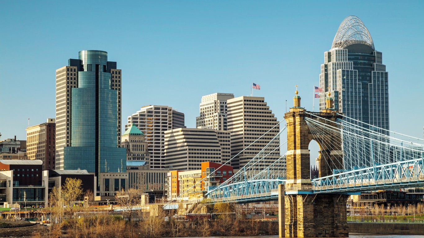
43. Ohio
> Area burned, wildfires 2007-2016: 0.1%
> Wildfire damage 2007-2016 : 22,789 acres (10th fewest)
> 2016 Wildfires: 410 (16th fewest)
> Planned burns 2007-2016: 29,717 acres (11th fewest)
> Large (100k+ acre) fires since 1997: none
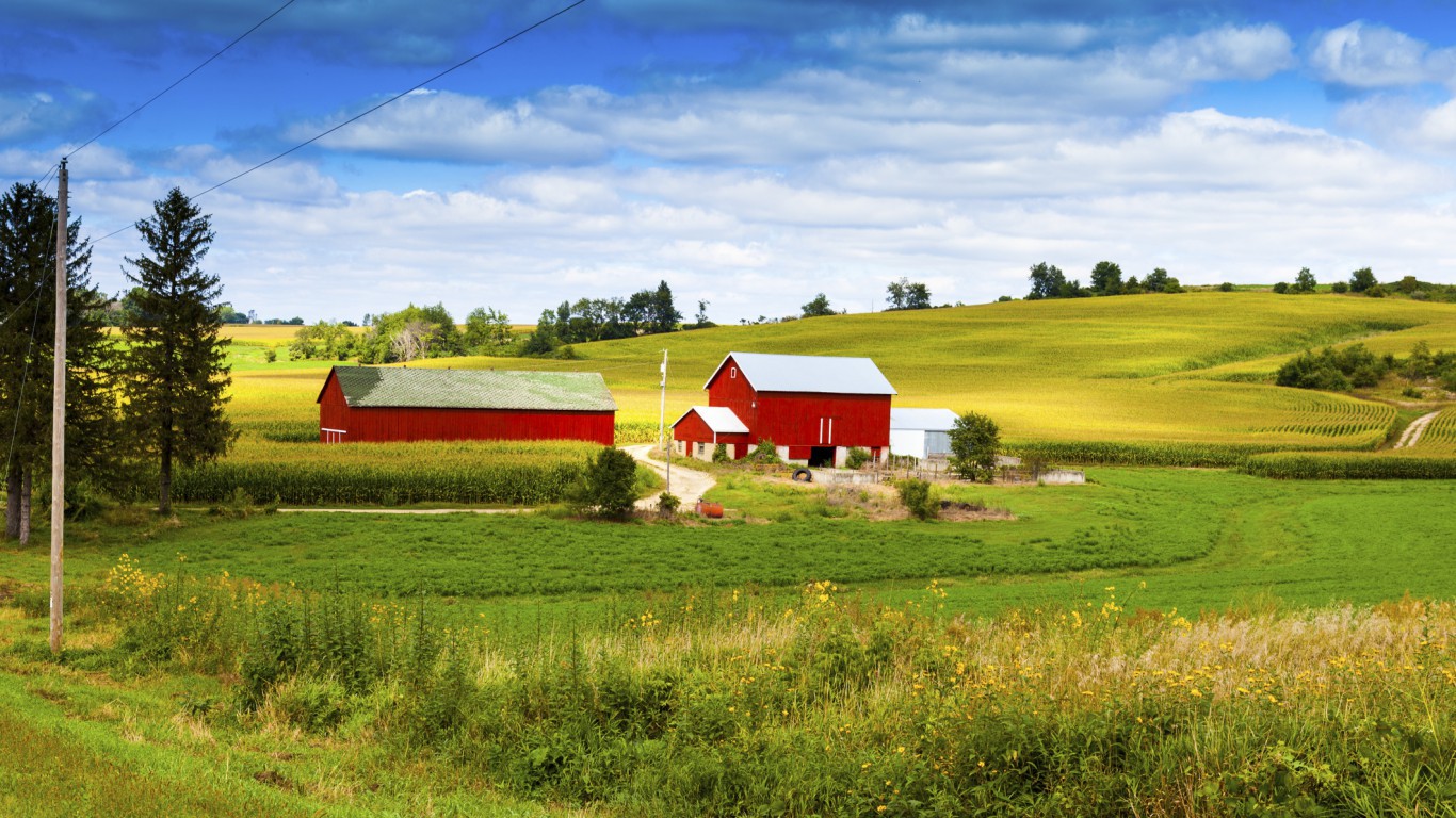
42. Wisconsin
> Area burned, wildfires 2007-2016: 0.1%
> Wildfire damage 2007-2016 : 31,461 acres (13th fewest)
> 2016 Wildfires: 713 (25th fewest)
> Planned burns 2007-2016: 322,052 acres (19th most)
> Large (100k+ acre) fires since 1997: none
[in-text-ad-2]
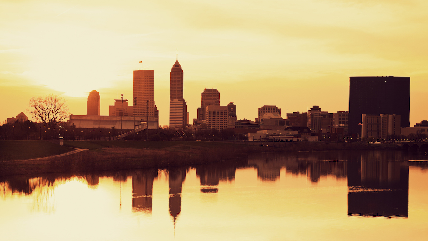
41. Indiana
> Area burned, wildfires 2007-2016: 0.1%
> Wildfire damage 2007-2016 : 24,386 acres (11th fewest)
> 2016 Wildfires: 27 (5th fewest)
> Planned burns 2007-2016: 126,331 acres (21st fewest)
> Large (100k+ acre) fires since 1997: none
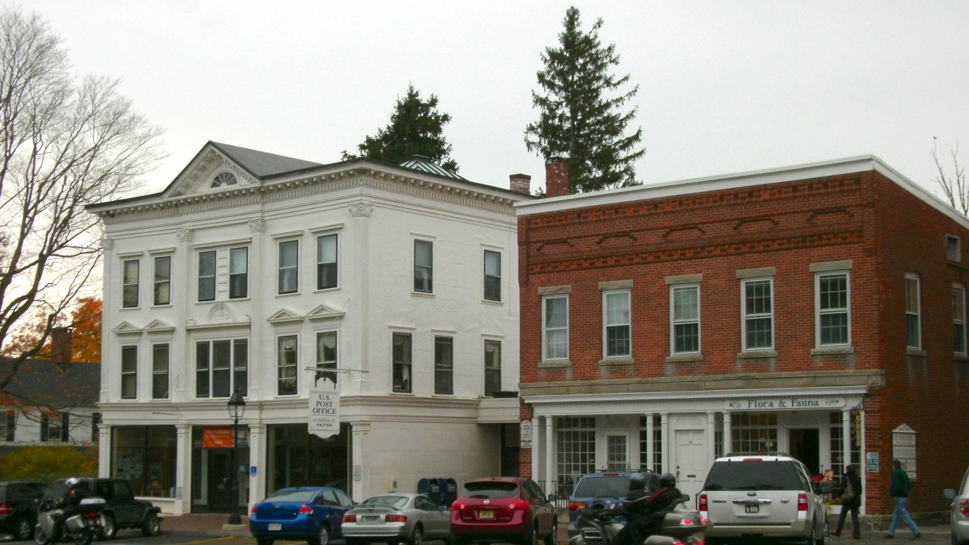
40. Connecticut
> Area burned, wildfires 2007-2016: 0.1%
> Wildfire damage 2007-2016 : 3,599 acres (5th fewest)
> 2016 Wildfires: 268 (14th fewest)
> Planned burns 2007-2016: 588 acres (4th fewest)
> Large (100k+ acre) fires since 1997: none
[in-text-ad]
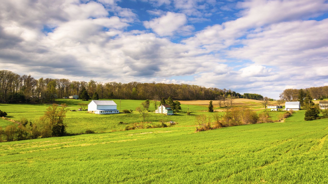
39. Pennsylvania
> Area burned, wildfires 2007-2016: 0.2%
> Wildfire damage 2007-2016 : 45,173 acres (14th fewest)
> 2016 Wildfires: 871 (24th most)
> Planned burns 2007-2016: 54,193 acres (13th fewest)
> Large (100k+ acre) fires since 1997: none
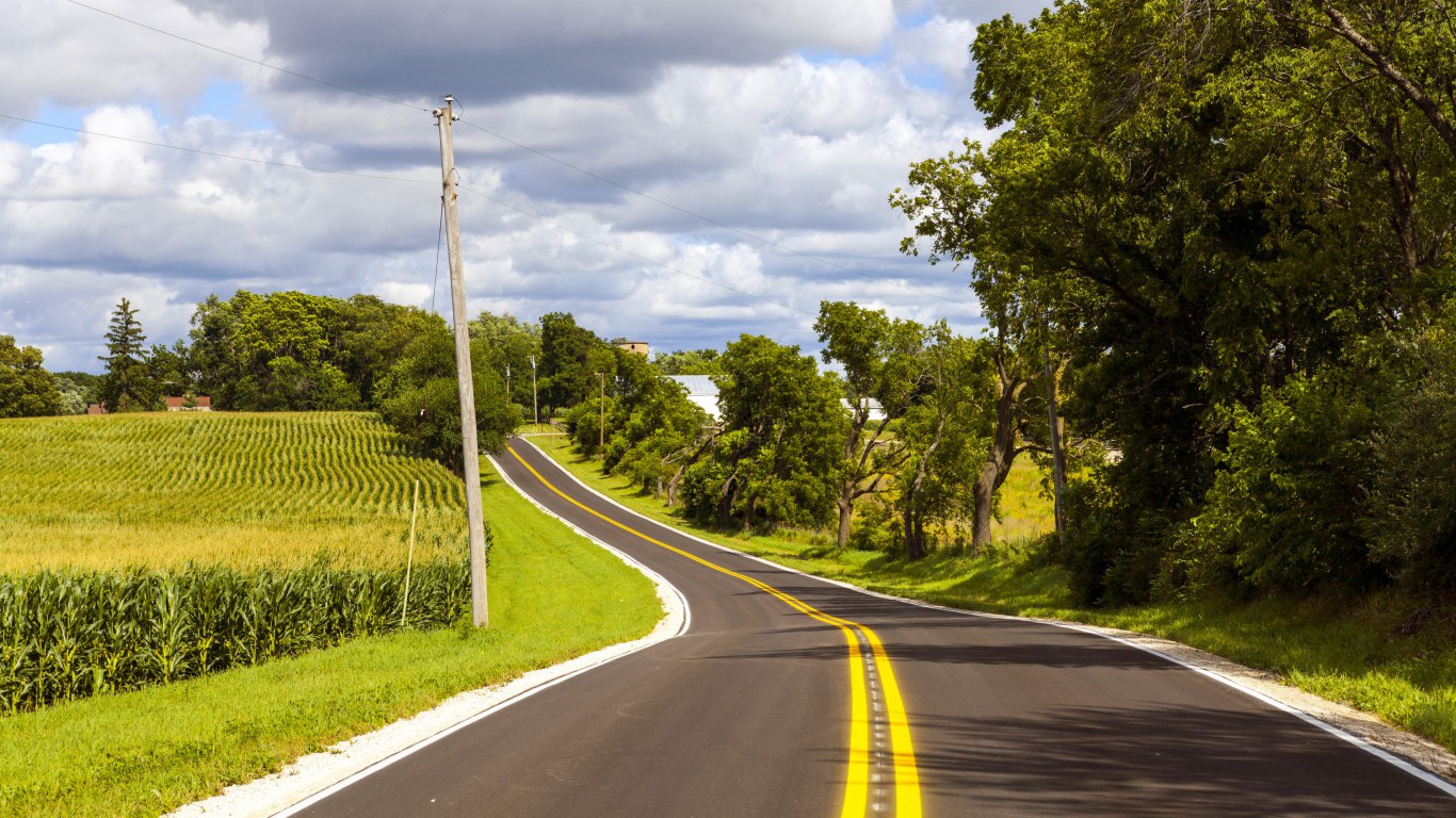
38. Iowa
> Area burned, wildfires 2007-2016: 0.2%
> Wildfire damage 2007-2016 : 79,049 acres (18th fewest)
> 2016 Wildfires: 465 (17th fewest)
> Planned burns 2007-2016: 198,350 acres (22nd most)
> Large (100k+ acre) fires since 1997: none
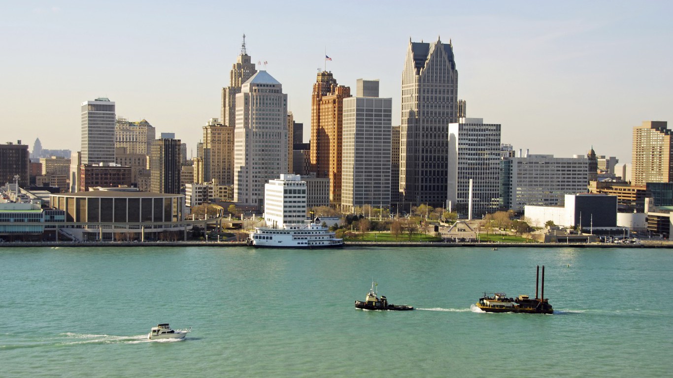
37. Michigan
> Area burned, wildfires 2007-2016: 0.2%
> Wildfire damage 2007-2016 : 81,410 acres (19th fewest)
> 2016 Wildfires: 389 (15th fewest)
> Planned burns 2007-2016: 122,912 acres (19th fewest)
> Large (100k+ acre) fires since 1997: none
[in-text-ad-2]
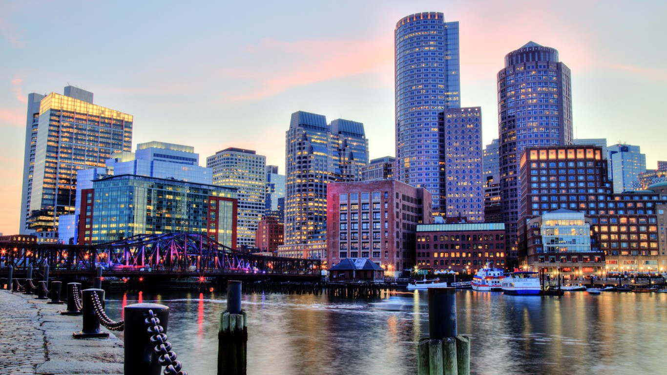
36. Massachusetts
> Area burned, wildfires 2007-2016: 0.3%
> Wildfire damage 2007-2016 : 15,697 acres (8th fewest)
> 2016 Wildfires: 1,526 (12th most)
> Planned burns 2007-2016: 6,003 acres (8th fewest)
> Large (100k+ acre) fires since 1997: none
35. North Dakota
> Area burned, wildfires 2007-2016: 0.4%
> Wildfire damage 2007-2016 : 179,580 acres (21st fewest)
> 2016 Wildfires: 563 (20th fewest)
> Planned burns 2007-2016: 194,482 acres (23rd most)
> Large (100k+ acre) fires since 1997: none
[in-text-ad]
34. Maryland
> Area burned, wildfires 2007-2016: 0.4%
> Wildfire damage 2007-2016 : 27,209 acres (12th fewest)
> 2016 Wildfires: 120 (10th fewest)
> Planned burns 2007-2016: 34,331 acres (12th fewest)
> Large (100k+ acre) fires since 1997: none
33. West Virginia
> Area burned, wildfires 2007-2016: 0.5%
> Wildfire damage 2007-2016 : 72,645 acres (17th fewest)
> 2016 Wildfires: 18 (4th fewest)
> Planned burns 2007-2016: 10,347 acres (10th fewest)
> Large (100k+ acre) fires since 1997: none
32. South Carolina
> Area burned, wildfires 2007-2016: 0.5%
> Wildfire damage 2007-2016 : 97,387 acres (20th fewest)
> 2016 Wildfires: 982 (23rd most)
> Planned burns 2007-2016: 2,135,497 acres (3rd most)
> Large (100k+ acre) fires since 1997: none
[in-text-ad-2]
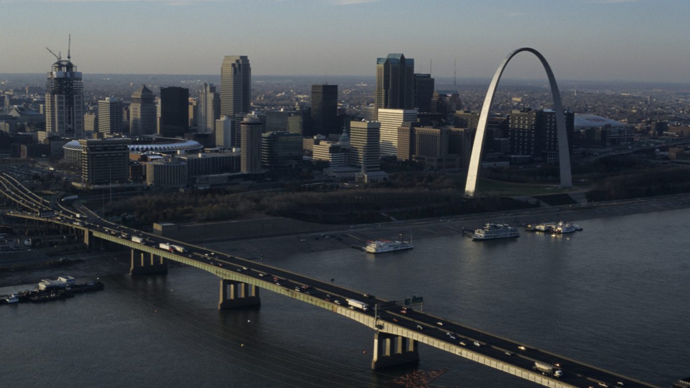
31. Missouri
> Area burned, wildfires 2007-2016: 0.5%
> Wildfire damage 2007-2016 : 235,962 acres (25th fewest)
> 2016 Wildfires: 2,610 (7th most)
> Planned burns 2007-2016: 475,013 acres (15th most)
> Large (100k+ acre) fires since 1997: none
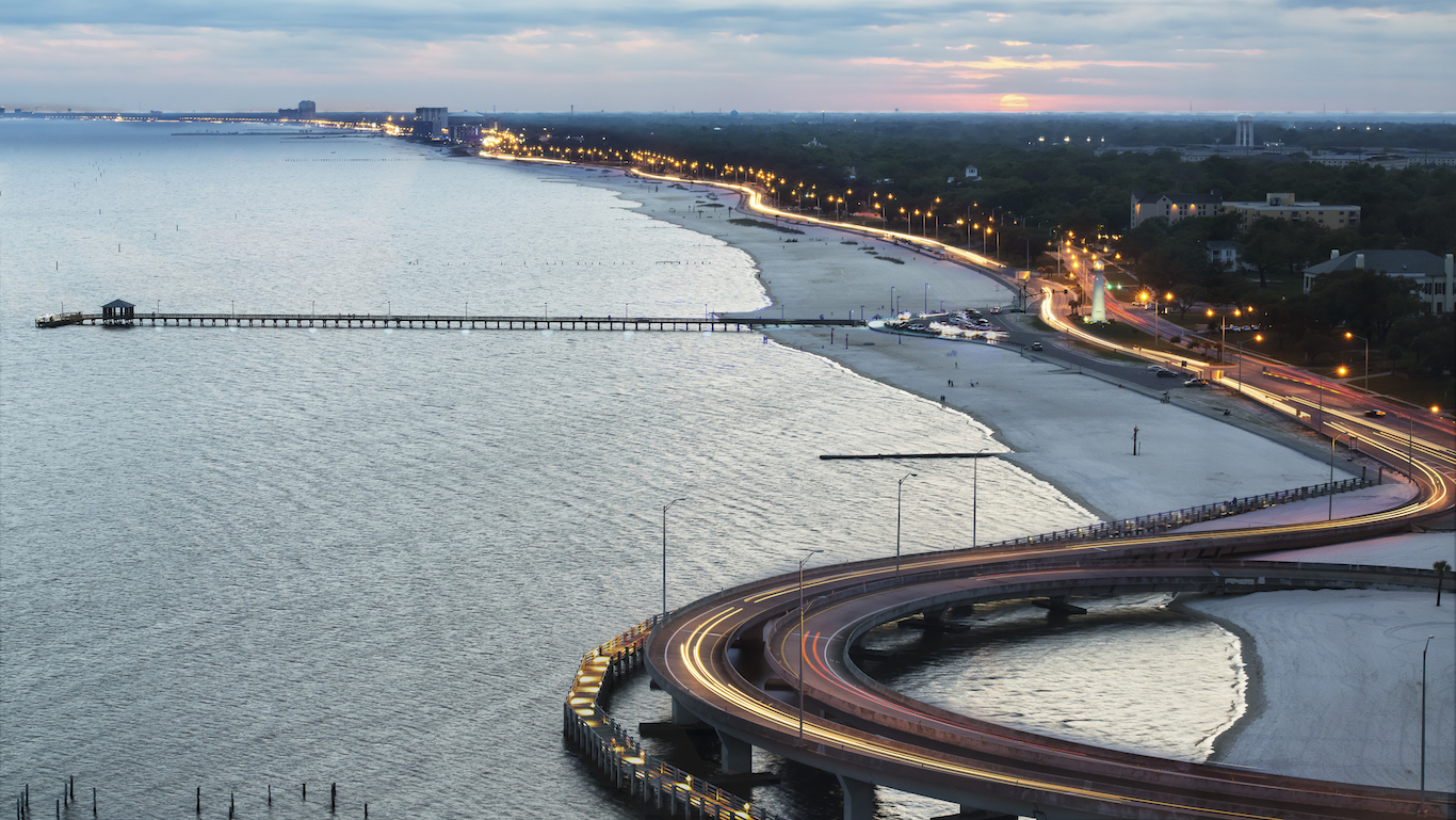
30. Mississippi
> Area burned, wildfires 2007-2016: 0.7%
> Wildfire damage 2007-2016 : 204,762 acres (23rd fewest)
> 2016 Wildfires: 94 (9th fewest)
> Planned burns 2007-2016: 906,272 acres (11th most)
> Large (100k+ acre) fires since 1997: none
[in-text-ad]
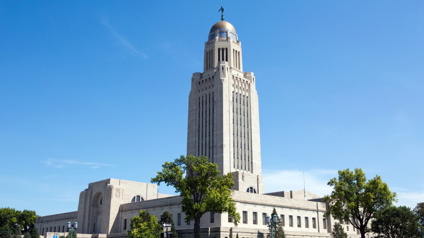
29. Nebraska
> Area burned, wildfires 2007-2016: 0.8%
> Wildfire damage 2007-2016 : 382,819 acres (24th most)
> 2016 Wildfires: 45 (6th fewest)
> Planned burns 2007-2016: 112,307 acres (17th fewest)
> Large (100k+ acre) fires since 1997: none
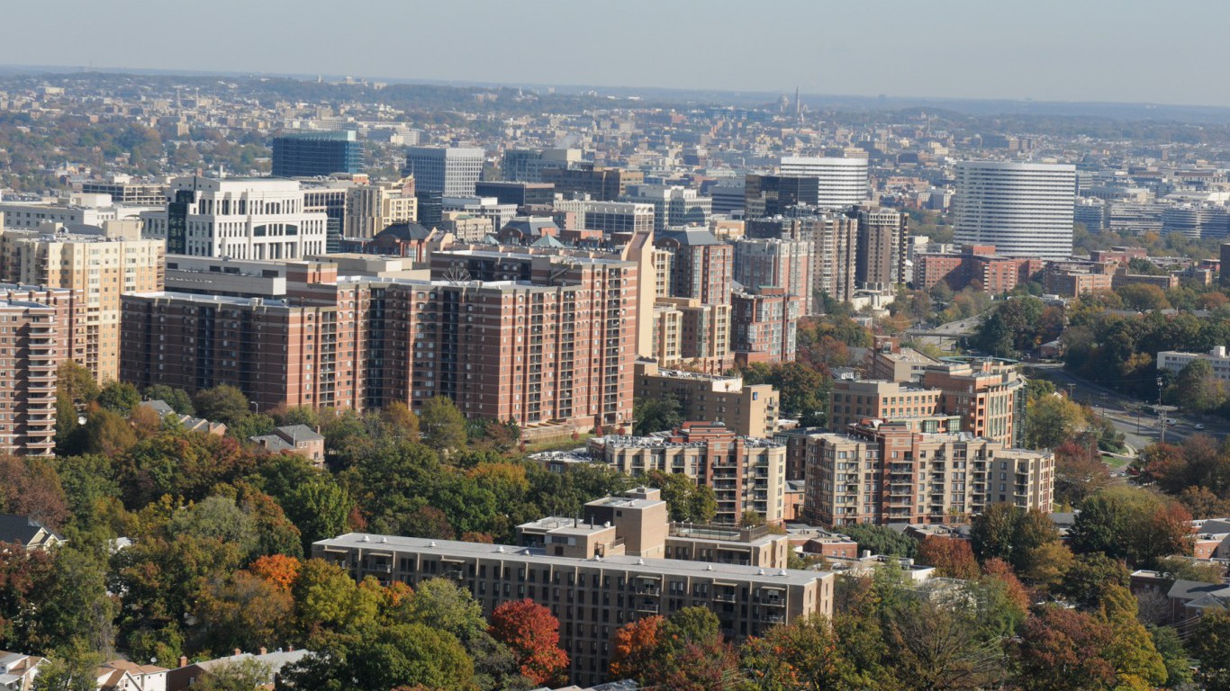
28. Virginia
> Area burned, wildfires 2007-2016: 0.8%
> Wildfire damage 2007-2016 : 201,517 acres (22nd fewest)
> 2016 Wildfires: 580 (22nd fewest)
> Planned burns 2007-2016: 152,070 acres (24th fewest)
> Large (100k+ acre) fires since 1997: none
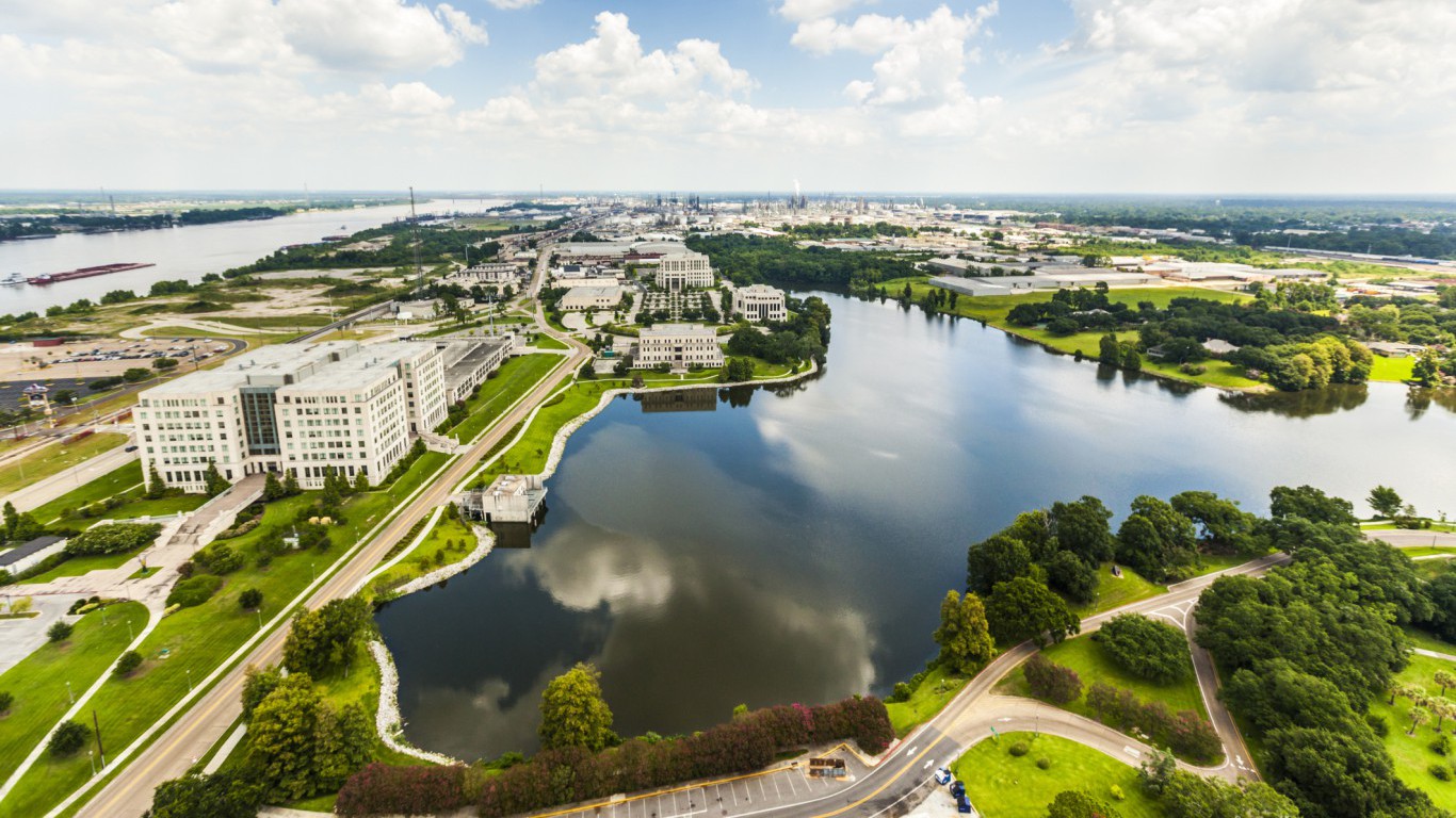
27. Louisiana
> Area burned, wildfires 2007-2016: 0.8%
> Wildfire damage 2007-2016 : 227,299 acres (24th fewest)
> 2016 Wildfires: 508 (19th fewest)
> Planned burns 2007-2016: 893,763 acres (12th most)
> Large (100k+ acre) fires since 1997: none
[in-text-ad-2]
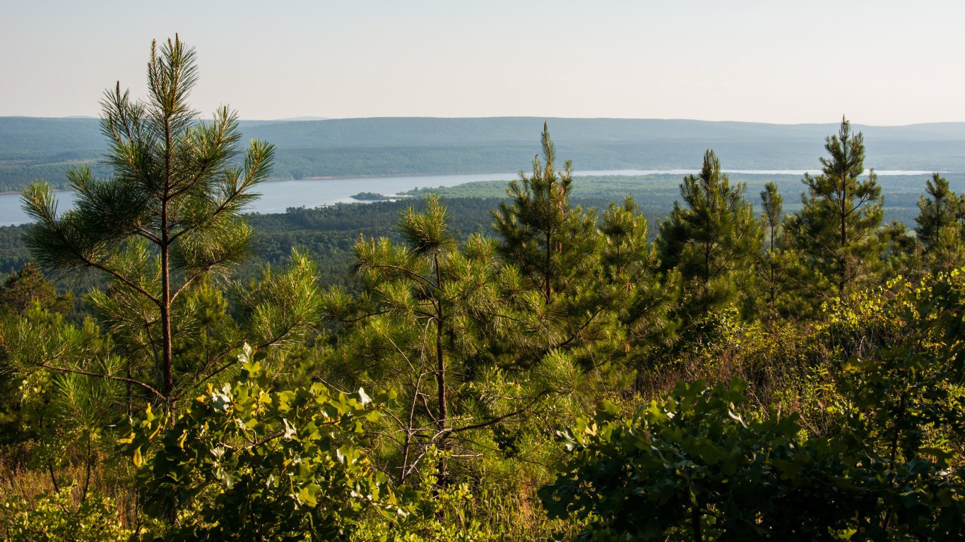
26. Arkansas
> Area burned, wildfires 2007-2016: 0.9%
> Wildfire damage 2007-2016 : 288,748 acres (25th most)
> 2016 Wildfires: 1,513 (13th most)
> Planned burns 2007-2016: 1,812,955 acres (4th most)
> Large (100k+ acre) fires since 1997: none
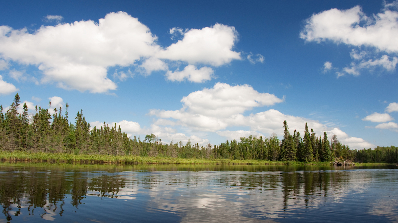
25. Minnesota
> Area burned, wildfires 2007-2016: 1.0%
> Wildfire damage 2007-2016 : 500,439 acres (19th most)
> 2016 Wildfires: 1,422 (14th most)
> Planned burns 2007-2016: 1,003,303 acres (8th most)
> Large (100k+ acre) fires since 1997: none
[in-text-ad]
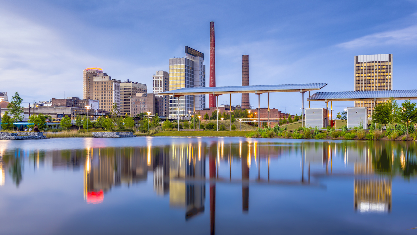
24. Alabama
> Area burned, wildfires 2007-2016: 1.2%
> Wildfire damage 2007-2016 : 390,643 acres (23rd most)
> 2016 Wildfires: 3,923 (5th most)
> Planned burns 2007-2016: 1,643,176 acres (5th most)
> Large (100k+ acre) fires since 1997: none
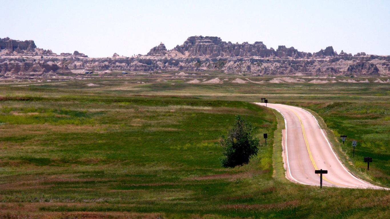
23. South Dakota
> Area burned, wildfires 2007-2016: 1.3%
> Wildfire damage 2007-2016 : 653,450 acres (18th most)
> 2016 Wildfires: 1,216 (19th most)
> Planned burns 2007-2016: 346,211 acres (18th most)
> Large (100k+ acre) fires since 1997: 1 (tied – 14th most)
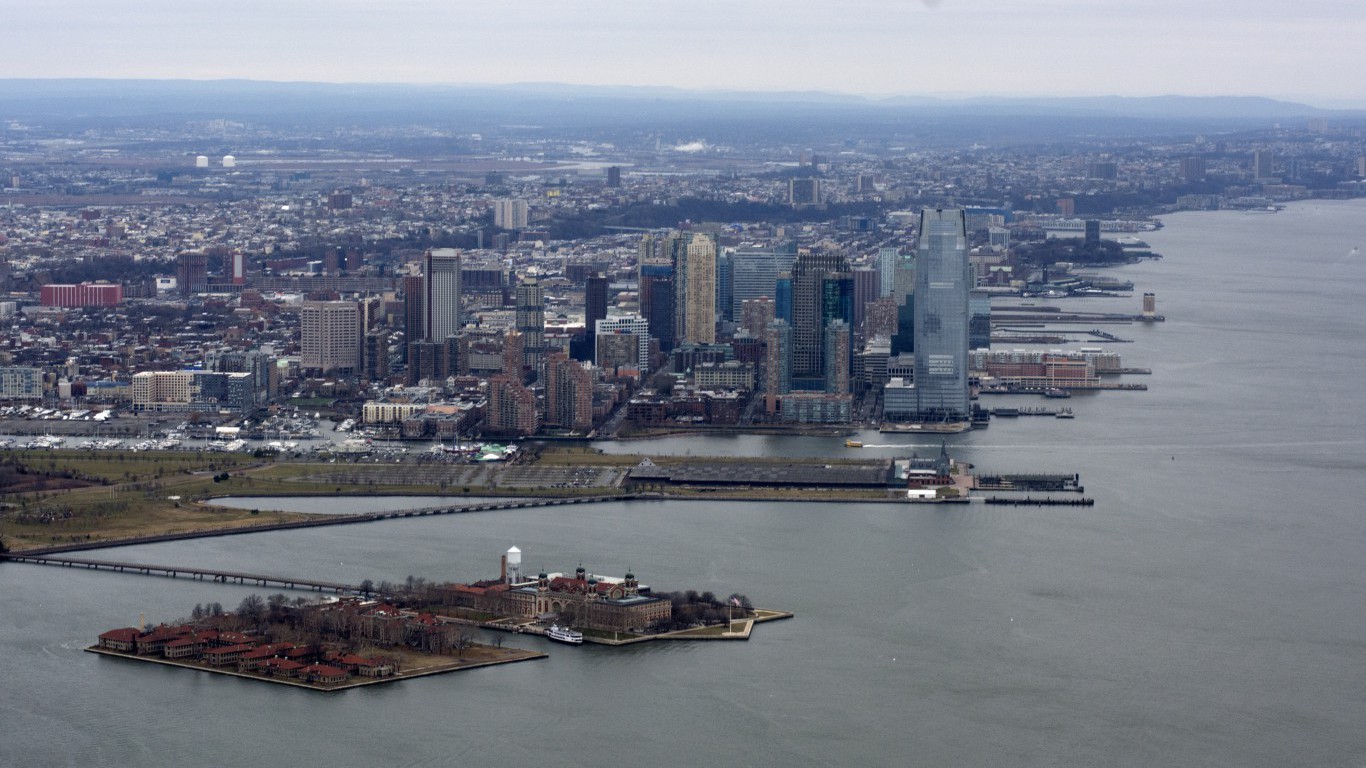
22. New Jersey
> Area burned, wildfires 2007-2016: 1.4%
> Wildfire damage 2007-2016 : 66,646 acres (16th fewest)
> 2016 Wildfires: 1,050 (22nd most)
> Planned burns 2007-2016: 80,696 acres (16th fewest)
> Large (100k+ acre) fires since 1997: none
[in-text-ad-2]
21. Kansas
> Area burned, wildfires 2007-2016: 1.5%
> Wildfire damage 2007-2016 : 761,263 acres (17th most)
> 2016 Wildfires: 75 (7th fewest)
> Planned burns 2007-2016: 121,047 acres (18th fewest)
> Large (100k+ acre) fires since 1997: none
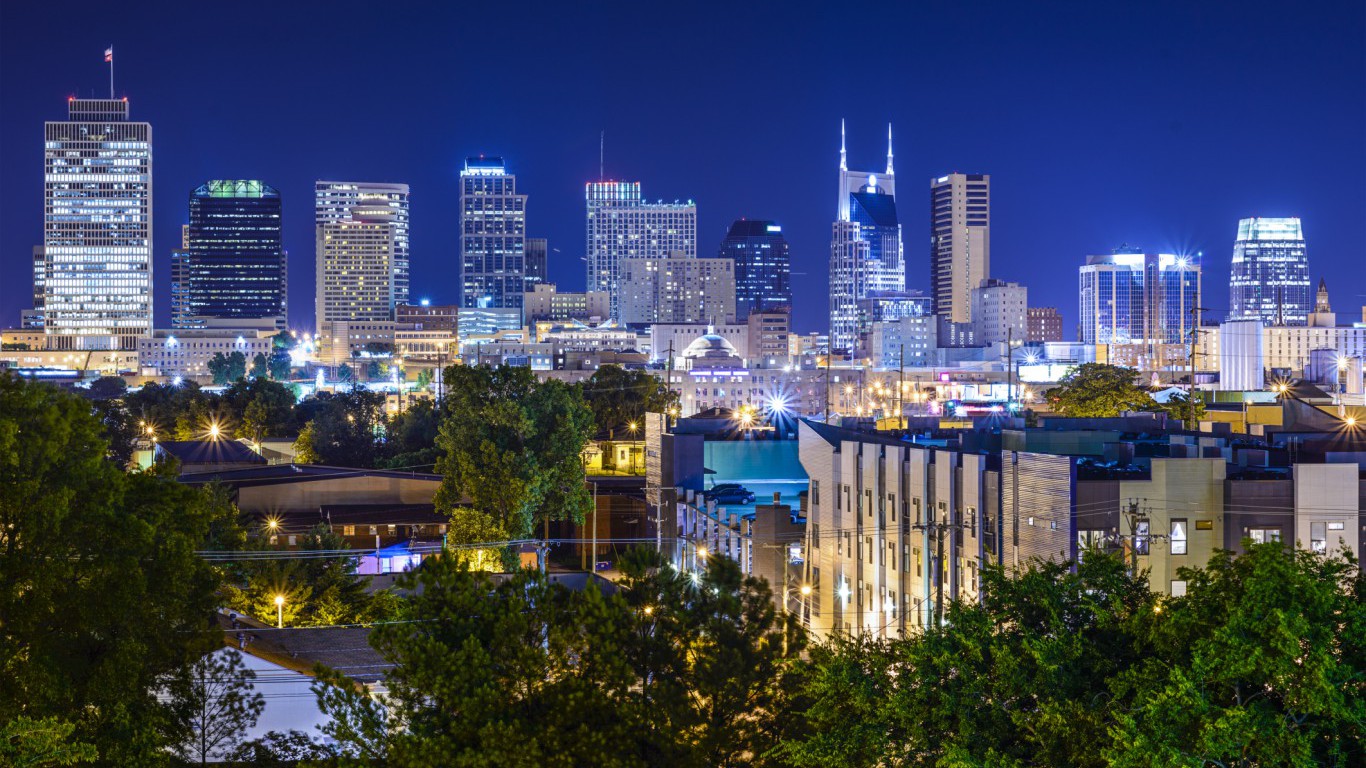
20. Tennessee
> Area burned, wildfires 2007-2016: 1.5%
> Wildfire damage 2007-2016 : 406,730 acres (22nd most)
> 2016 Wildfires: 2,165 (9th most)
> Planned burns 2007-2016: 164,290 acres (24th most)
> Large (100k+ acre) fires since 1997: none
[in-text-ad]
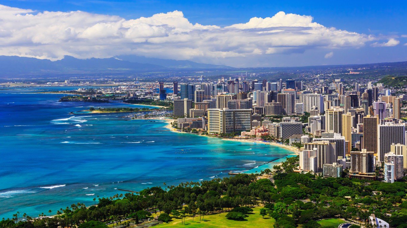
19. Hawaii
> Area burned, wildfires 2007-2016: 1.5%
> Wildfire damage 2007-2016 : 63,691 acres (15th fewest)
> 2016 Wildfires: 10 (2nd fewest)
> Planned burns 2007-2016: 150 acres (the fewest)
> Large (100k+ acre) fires since 1997: none
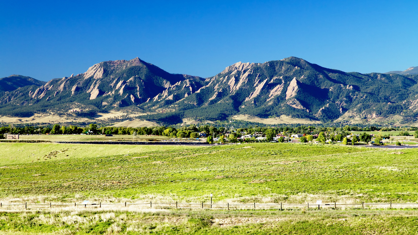
18. Colorado
> Area burned, wildfires 2007-2016: 1.6%
> Wildfire damage 2007-2016 : 1,036,982 acres (15th most)
> 2016 Wildfires: 1,190 (20th most)
> Planned burns 2007-2016: 264,958 acres (20th most)
> Large (100k+ acre) fires since 1997: 1 (tied – 14th most)
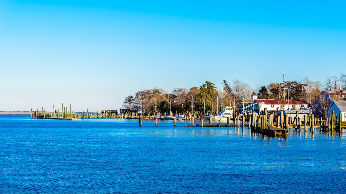
17. North Carolina
> Area burned, wildfires 2007-2016: 1.6%
> Wildfire damage 2007-2016 : 495,750 acres (20th most)
> 2016 Wildfires: 4,007 (4th most)
> Planned burns 2007-2016: 1,347,574 acres (6th most)
> Large (100k+ acre) fires since 1997: none
[in-text-ad-2]
16. Wyoming
> Area burned, wildfires 2007-2016: 1.6%
> Wildfire damage 2007-2016 : 1,017,026 acres (16th most)
> 2016 Wildfires: 711 (24th fewest)
> Planned burns 2007-2016: 124,928 acres (20th fewest)
> Large (100k+ acre) fires since 1997: 1 (tied – 14th most)
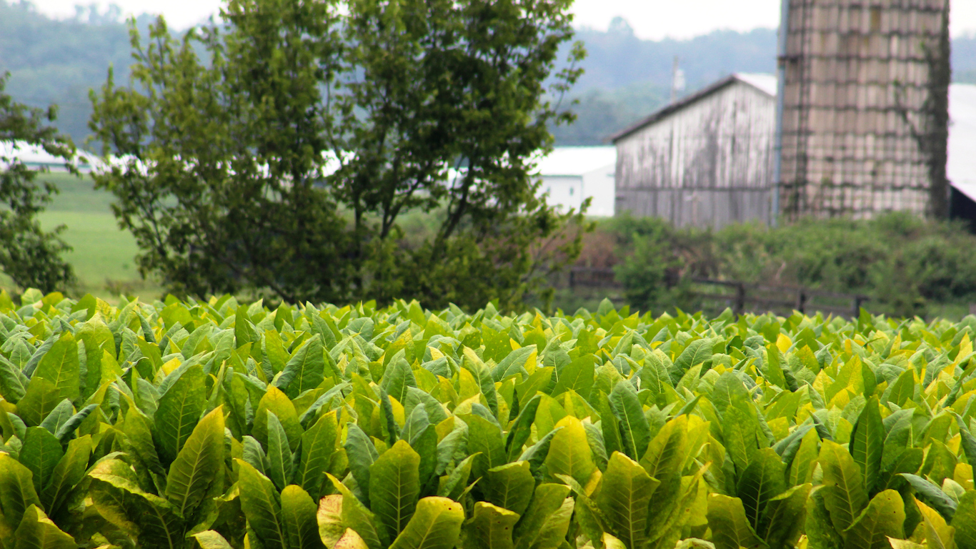
15. Kentucky
> Area burned, wildfires 2007-2016: 1.7%
> Wildfire damage 2007-2016 : 425,131 acres (21st most)
> 2016 Wildfires: 1,220 (18th most)
> Planned burns 2007-2016: 155,985 acres (25th fewest)
> Large (100k+ acre) fires since 1997: none
[in-text-ad]
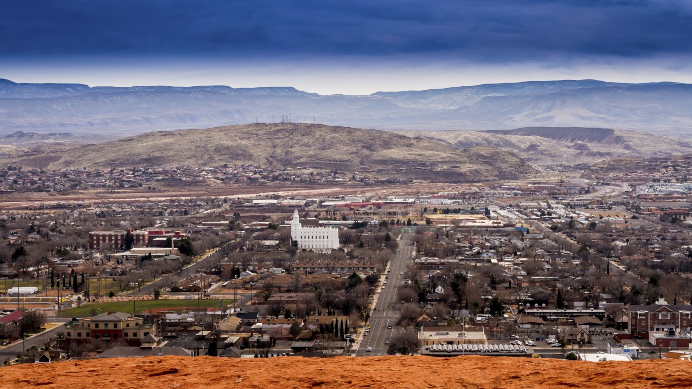
14. Utah
> Area burned, wildfires 2007-2016: 2.9%
> Wildfire damage 2007-2016 : 1,514,640 acres (13th most)
> 2016 Wildfires: 1,078 (21st most)
> Planned burns 2007-2016: 225,876 acres (21st most)
> Large (100k+ acre) fires since 1997: 2 (13th most)
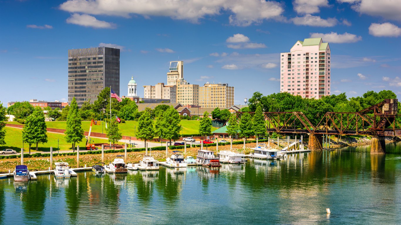
13. Georgia
> Area burned, wildfires 2007-2016: 3.1%
> Wildfire damage 2007-2016 : 1,151,795 acres (14th most)
> 2016 Wildfires: 5,086 (3rd most)
> Planned burns 2007-2016: 3,216,698 acres (2nd most)
> Large (100k+ acre) fires since 1997: 4 (10th most)
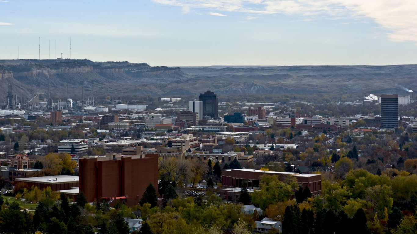
12. Montana
> Area burned, wildfires 2007-2016: 3.3%
> Wildfire damage 2007-2016 : 3,067,392 acres (7th most)
> 2016 Wildfires: 2,026 (10th most)
> Planned burns 2007-2016: 388,308 acres (16th most)
> Large (100k+ acre) fires since 1997: 10 (6th most)
[in-text-ad-2]
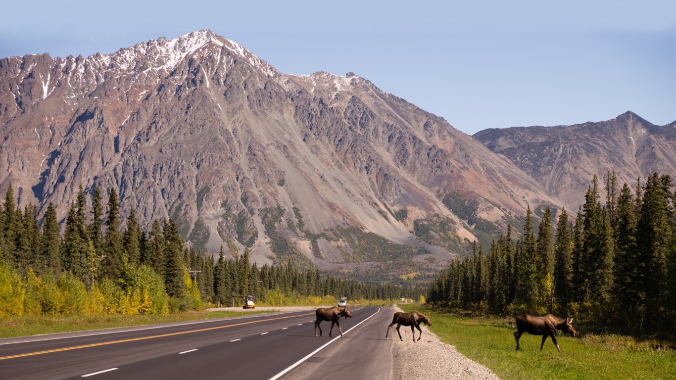
11. Alaska
> Area burned, wildfires 2007-2016: 3.4%
> Wildfire damage 2007-2016 : 12,402,894 acres (the most)
> 2016 Wildfires: 572 (21st fewest)
> Planned burns 2007-2016: 150,941 acres (22nd fewest)
> Large (100k+ acre) fires since 1997: 48 (the most)
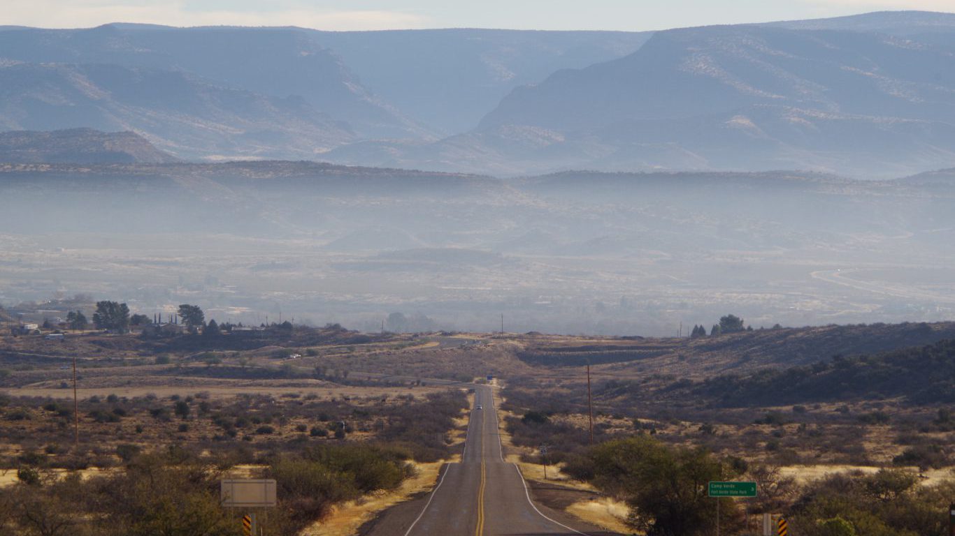
10. Arizona
> Area burned, wildfires 2007-2016: 3.5%
> Wildfire damage 2007-2016 : 2,537,948 acres (10th most)
> 2016 Wildfires: 2,288 (8th most)
> Planned burns 2007-2016: 921,424 acres (10th most)
> Large (100k+ acre) fires since 1997: 5 (9th most)
[in-text-ad]
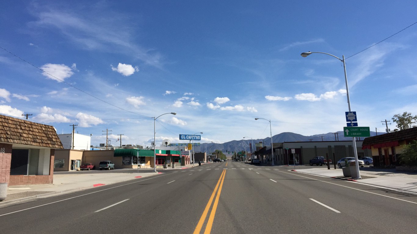
9. Nevada
> Area burned, wildfires 2007-2016: 3.7%
> Wildfire damage 2007-2016 : 2,586,669 acres (9th most)
> 2016 Wildfires: 467 (18th fewest)
> Planned burns 2007-2016: 56,942 acres (14th fewest)
> Large (100k+ acre) fires since 1997: 17 (3rd most)
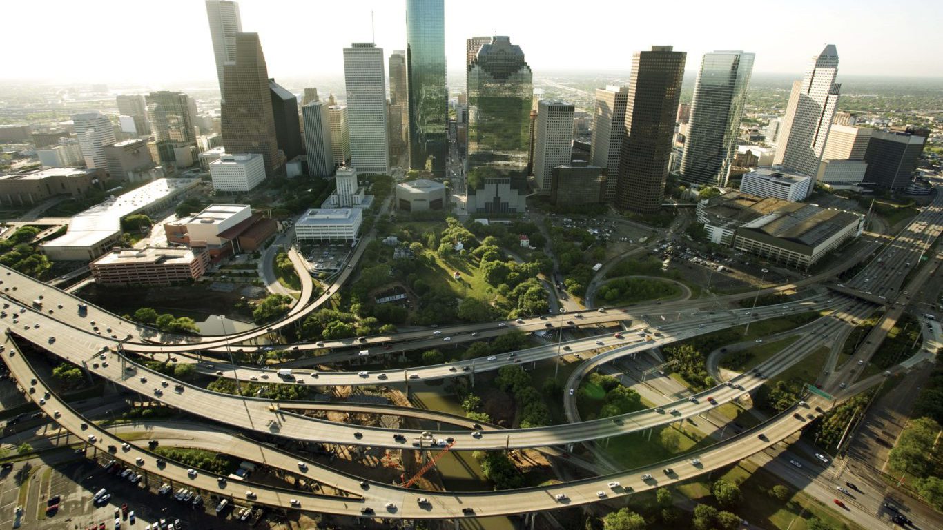
8. Texas
> Area burned, wildfires 2007-2016: 3.7%
> Wildfire damage 2007-2016 : 6,155,675 acres (4th most)
> 2016 Wildfires: 9,300 (1 is most)
> Planned burns 2007-2016: 1,131,512 acres (7th most)
> Large (100k+ acre) fires since 1997: 10 (6th most)
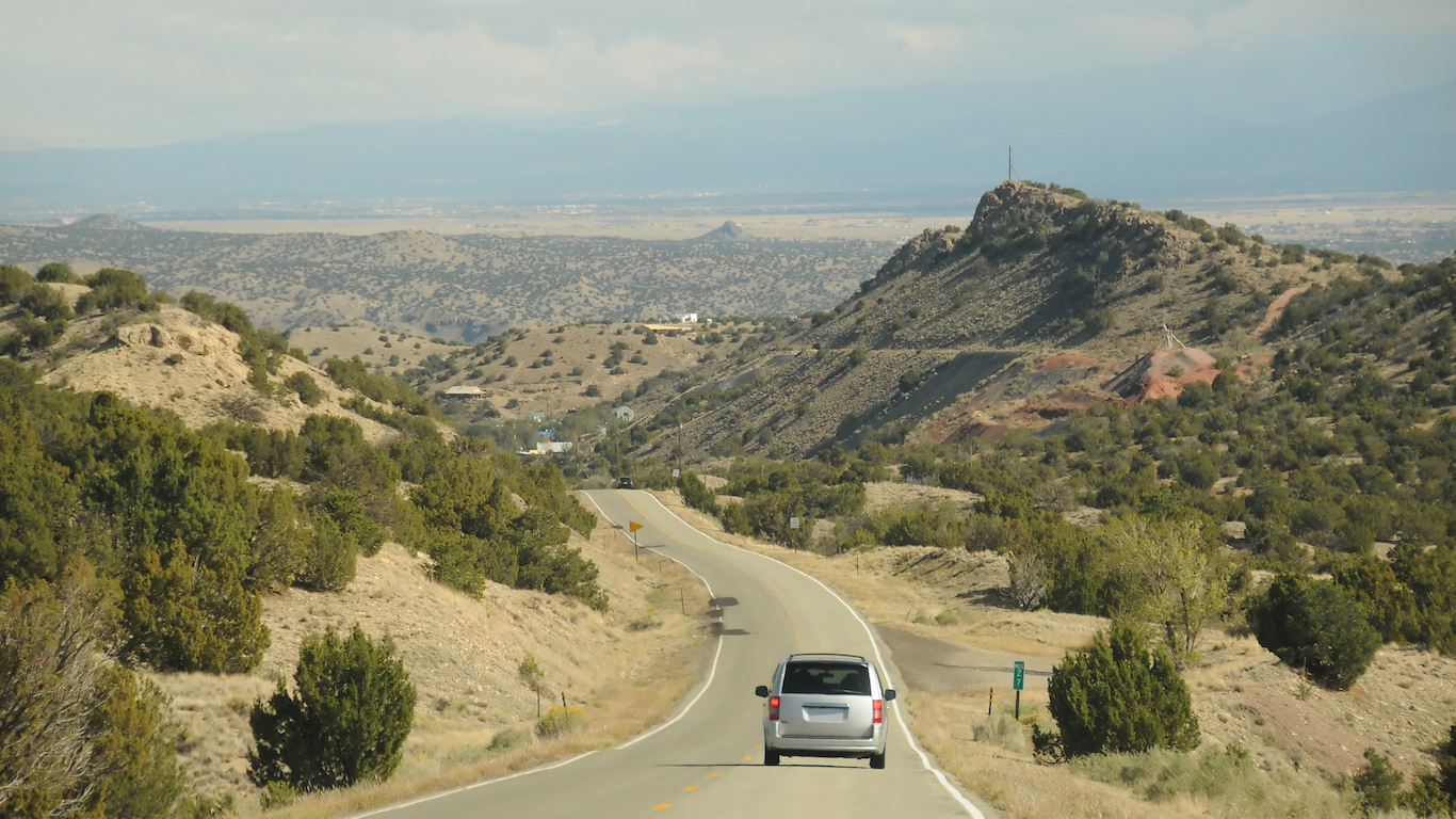
7. New Mexico
> Area burned, wildfires 2007-2016: 4.4%
> Wildfire damage 2007-2016 : 3,400,843 acres (6th most)
> 2016 Wildfires: 1,240 (17th most)
> Planned burns 2007-2016: 699,581 acres (13th most)
> Large (100k+ acre) fires since 1997: 4 (10th most)
[in-text-ad-2]
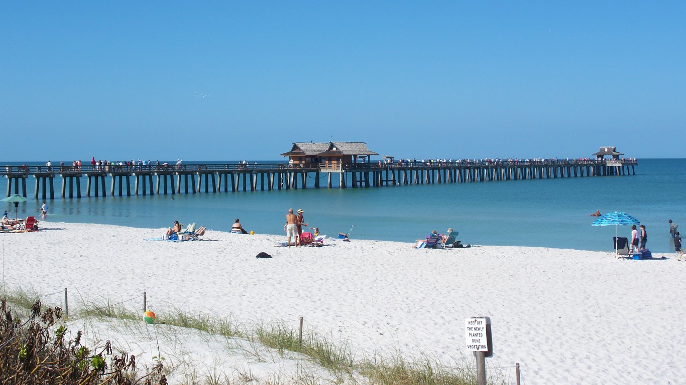
6. Florida
> Area burned, wildfires 2007-2016: 4.6%
> Wildfire damage 2007-2016 : 1,583,756 acres (12th most)
> 2016 Wildfires: 3,067 (6th most)
> Planned burns 2007-2016: 3,409,901 acres (the most)
> Large (100k+ acre) fires since 1997: 1 (14th most)
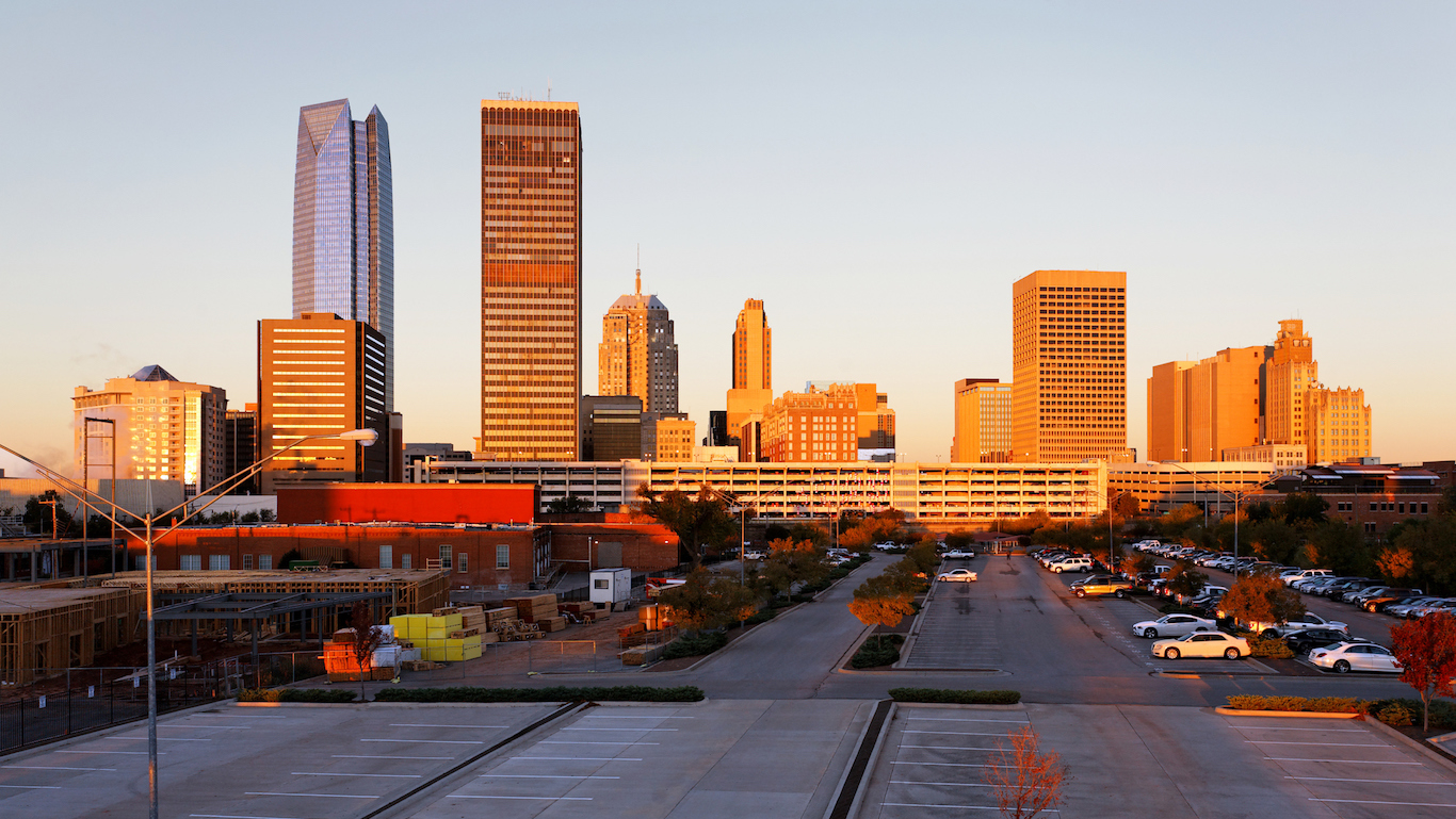
5. Oklahoma
> Area burned, wildfires 2007-2016: 4.7%
> Wildfire damage 2007-2016 : 2,084,297 acres (11th most)
> 2016 Wildfires: 1,938 (11th most)
> Planned burns 2007-2016: 70,816 acres (15th fewest)
> Large (100k+ acre) fires since 1997: 3 (12th most)
[in-text-ad]
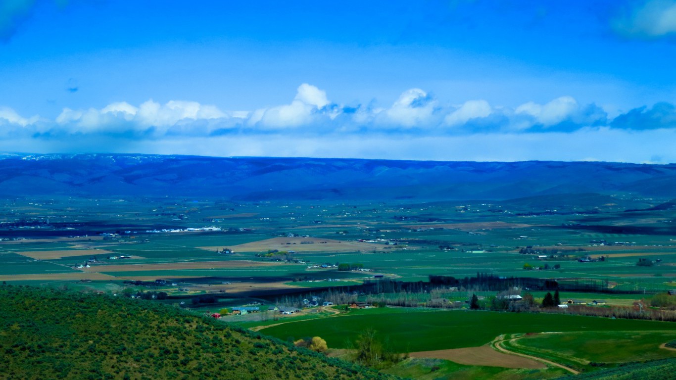
4. Washington
> Area burned, wildfires 2007-2016: 6.5%
> Wildfire damage 2007-2016 : 2,744,221 acres (8th most)
> 2016 Wildfires: 1,272 (15th most)
> Planned burns 2007-2016: 159,891 acres (25th most)
> Large (100k+ acre) fires since 1997: 9 (8th most)
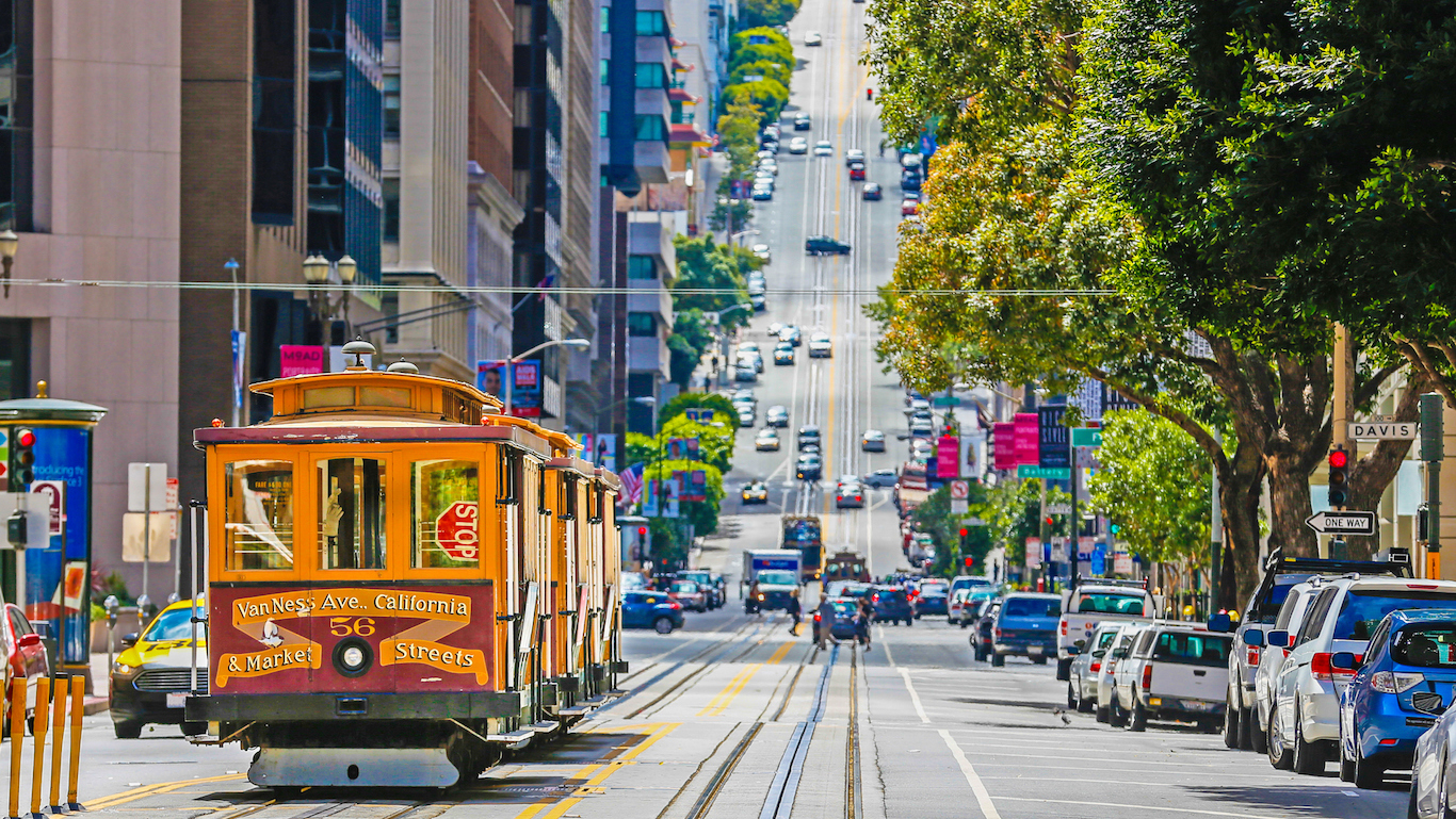
3. California
> Area burned, wildfires 2007-2016: 6.6%
> Wildfire damage 2007-2016 : 6,561,354 acres (3rd most)
> 2016 Wildfires: 7,349 (2nd most)
> Planned burns 2007-2016: 620,750 acres (14th most)
> Large (100k+ acre) fires since 1997: 17 (3rd most)
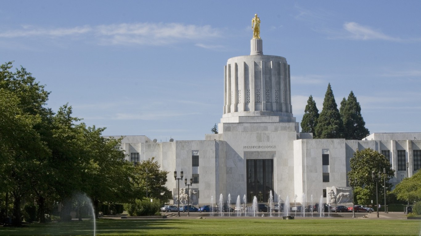
2. Oregon
> Area burned, wildfires 2007-2016: 7.8%
> Wildfire damage 2007-2016 : 4,761,511 acres (5th most)
> 2016 Wildfires: 1,245 (16th most)
> Planned burns 2007-2016: 939,375 acres (9th most)
> Large (100k+ acre) fires since 1997: 15 (5th most)
[in-text-ad-2]
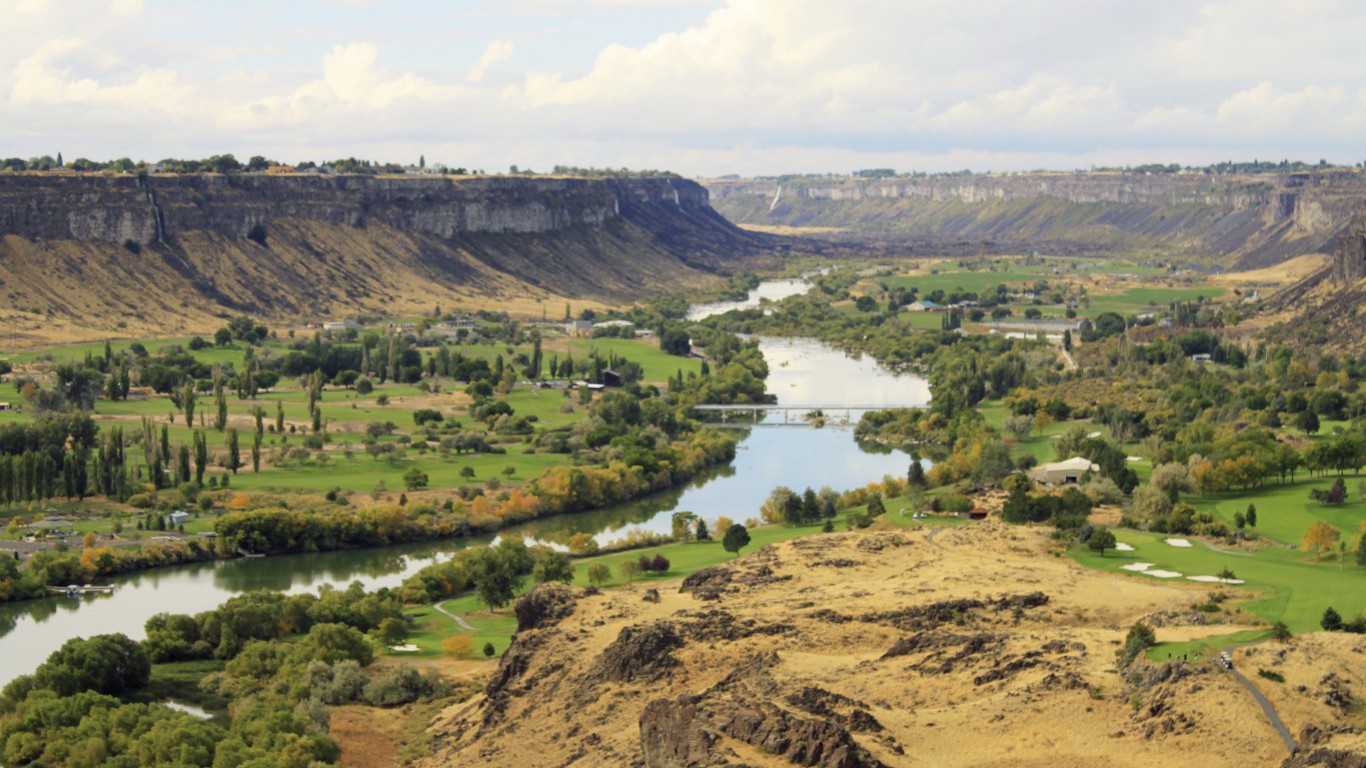
1. Idaho
> Area burned, wildfires 2007-2016: 13.0%
> Wildfire damage 2007-2016 : 6,892,160 acres (2nd most)
> 2016 Wildfires: 630 (23rd fewest)
> Planned burns 2007-2016: 385,993 acres (17th most)
> Large (100k+ acre) fires since 1997: 27 (2nd most)
Detailed Findings & Methodology
While fires can and do occur anywhere there are trees, they are much more common and destructive in some parts of the country, particularly in sparsely populated states. In Alaska, more than 12 million acres have burned over the last 10 years, more than the total burned acreage in 38 other states combined. The 6.9 million acres burned in Idaho due to wildfires from 2007 through 2016 is equal to about 13% of the total landmass of the state.
Fires can occur anywhere, anytime, but certain conditions can drastically increase how likely they are to occur and how easily they would spread. Drought, for example, dries out flammable flora, significantly increasing the risk of an easily spreadable forest fire.
States on the West Coast faced prolonged drought conditions for nearly three years before the situation finally improved in early 2016. The four states most affected by forest fires over the past decade are western states that have been in drought for years: Idaho, Oregon, California, and Washington.
As is intuitive, larger states tend to have larger areas burned due to wildfire. All but two of the 20 states that had the most acres burned due to wildfire over the past decade are also among the 20 largest states.
However, even when controlling for size, larger states tend to have greater issues with fire. In 14 states, at least 2% of their total area has burned over the past decade. Eleven of the 14 are also among the largest states. This is likely because these larger states also tend to be less densely populated, which increases the risk of wildfires occurring and makes it harder for people to fight them effectively once they happen.
To determine the states with the most wildfires, 24/7 Wall St. reviewed data from the National Interagency Fire Center’s Fire and Aviation Management Web Applications Program. The figures are the sum totals of all wildfires reported by the Bureau of Indian Affairs, the Bureau of Land Management, the Department of Defense, the U.S. Fish and Wildlife Service, the National Park Service, the U.S. Forest Service, and other land management departments from 2007 to 2016. The number of large fires, which refers to the number of fires that burned more than 100,000 acres of land, also came from the NIFC. The percentage of land burned by wildfires from 2007 to 2016 was calculated by dividing the total acreage burned by wildfires over that period by the total land area of a state, with data from the U.S. Census Bureau that was converted from square miles to acres.
Thank you for reading! Have some feedback for us?
Contact the 24/7 Wall St. editorial team.