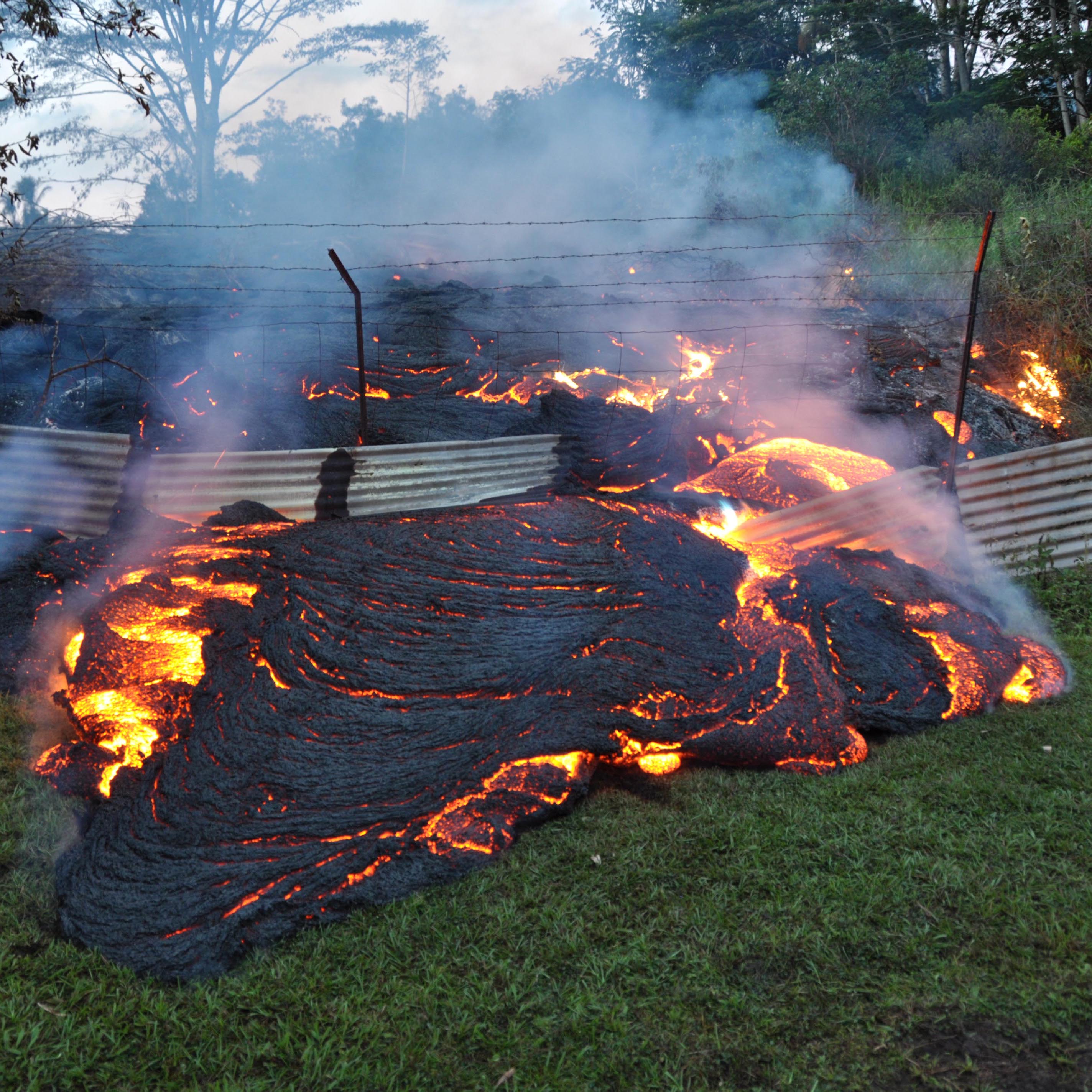
The ongoing eruption of the Kilauea Volcano in Hawaii has devastated a large portion of the Big Island — the most southern island of the archipelago. Rivers of lava have inundated and permanently destroyed farmlands, roads, and other infrastructure. Toxic gases from the eruption have also endangered the health of area residents.
Charlie Mandeville, volcanologist and director of the U.S. Geological Survey volcano hazards program discussed some of the recent developments and dangers.
“[In 48 hours], we’ve seen a threefold increase in the SO2 concentrations,” Mandeville told 24/7 Wall St. SO2, or sulfur dioxide, combines with moisture in the atmosphere to form fog or vog — “sulfuric acid aerosol particles that are sub micron in size.” Because these particles are so easily breathed in, “even healthy people in proximity of such areas are facing health problems potentially if they’re exposed for long periods of time.”
Advancements in gas emission sensors, seismometers, aerial GPS, radar systems and other monitoring instruments have revolutionized the science of predicting volcanic eruptions. With such tools deployed on Kilauea, Mandeville explained, ground swells were detected before the most recent explosion, giving emergency responders several days of warning. It is possible to predict major eruptions weeks or months ahead of time, he added.
Still, predicting volcanic eruptions is generally very difficult. Based on what is known from geological research, Kilauea is just one of a great many active volcanoes with high threat potential.
Approximately 800 million people live within 60 miles of an active volcano in over 80 countries around the world. There are 169 active volcanoes in the United States. Based on the latest USGS estimations of volcanic threat level, 24/7 Wall St. ranked these volcanoes from lowest to greatest level of potential threat.
Threat scores of 123-324 are considered very high; scores of 64-113 are considered high; and scores of 30-63 are called moderate. Threat levels take into account both the estimated likelihood of eruption based on eruption history and geological studies as well as possible damages based on population density and surrounding infrastructure. The threat levels of the 50 most dangerous volcanoes are high or very high.
Click here to see the 50 most dangerous volcanoes in America.
Click here to see our detailed findings and methodology.
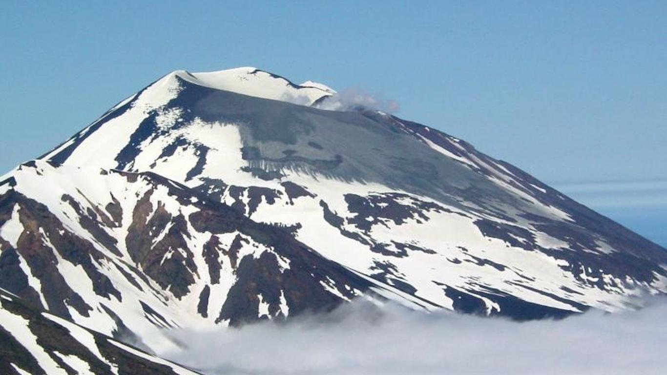
50. Atka, Alaska
> Threat score: 71
> Last eruption year: 1812
> Pop. within 30 km: 207
> Pop. within 100 km: 207
[in-text-ad]
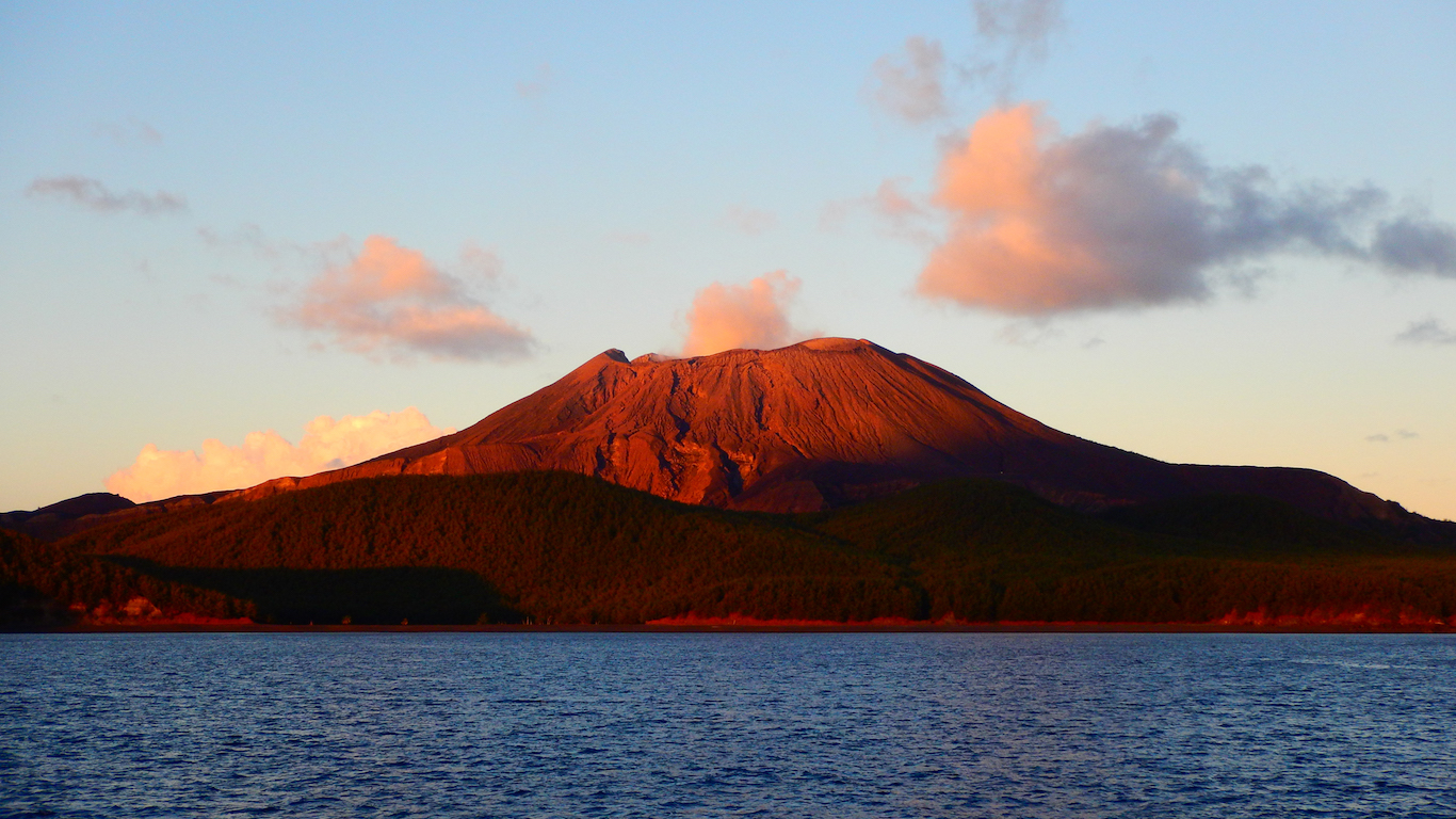
49. Alamagan, Northern Mariana Islands
> Threat score: 72
> Last eruption year: 870
> Pop. within 30 km: 0
> Pop. within 100 km: 0
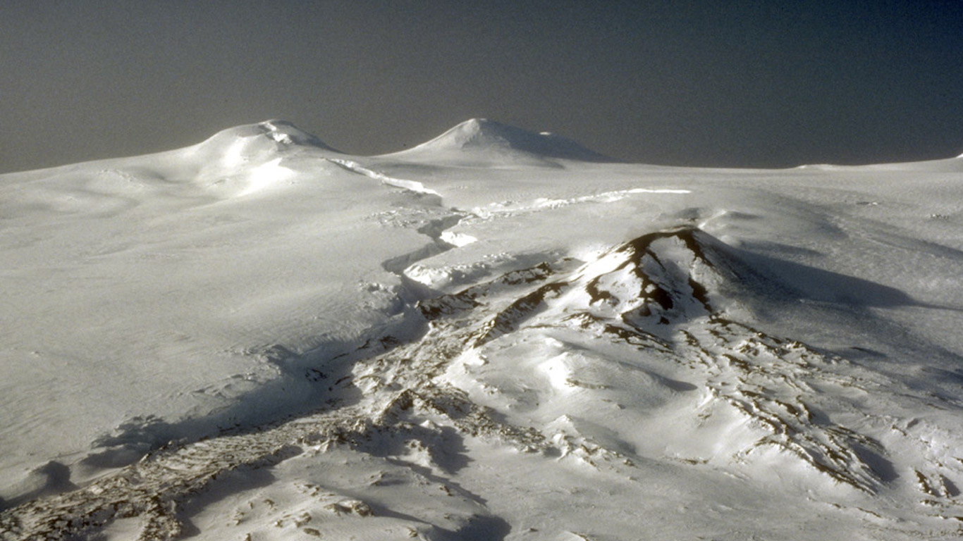
48. Westdahl, Alaska
> Threat score: 74
> Last eruption year: 1992
> Pop. within 30 km: 0
> Pop. within 100 km: 305
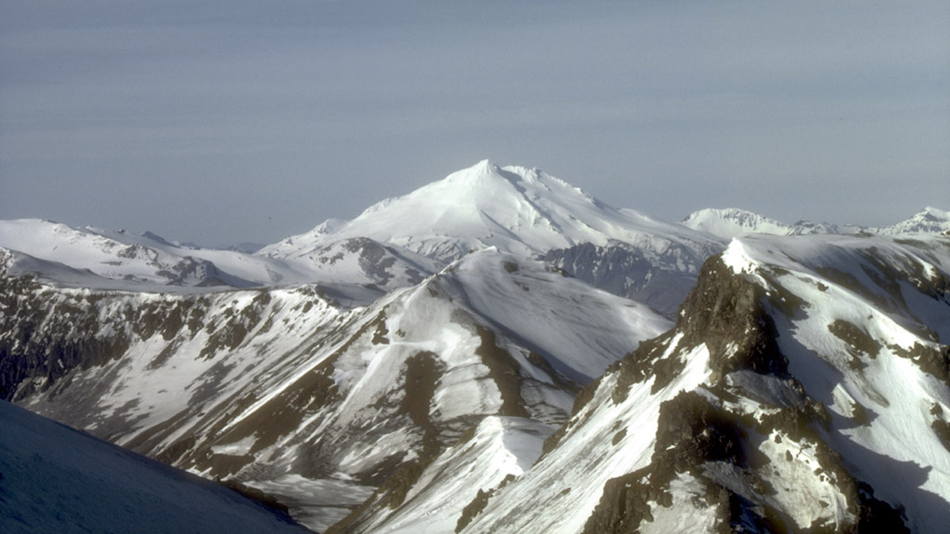
47. Dutton, Alaska
> Threat score: 74
> Last eruption year: n/a
> Pop. of King Cove, the closest town: 938
[in-text-ad-2]
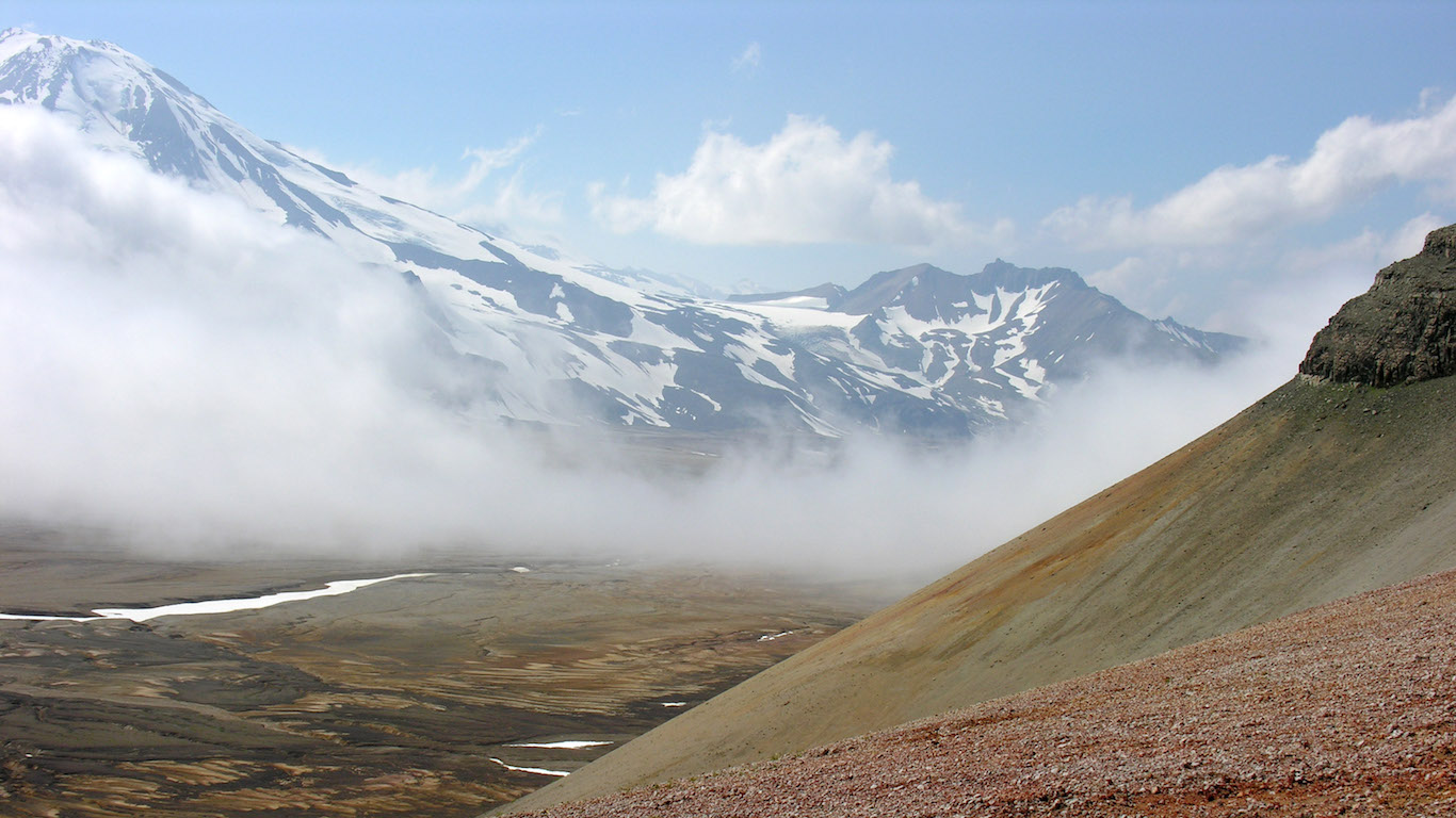
46. Novarupta, Alaska
> Threat score: 75
> Last eruption year: 1912
> Pop. within 30 km: 0
> Pop. within 100 km: 667
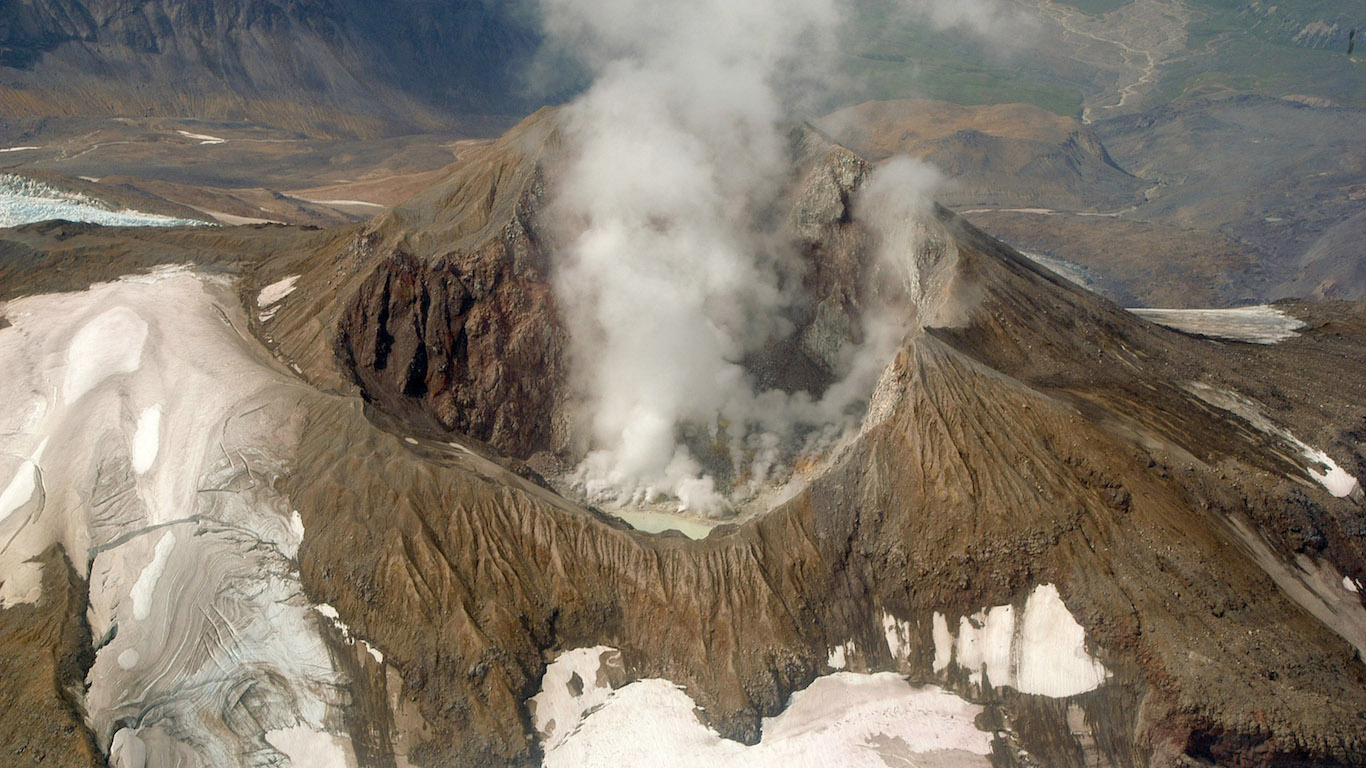
45. Martin, Alaska
> Threat score: 75
> Last eruption year: 1953
> Pop. within 30 km: 0
> Pop. within 100 km: 914
[in-text-ad]
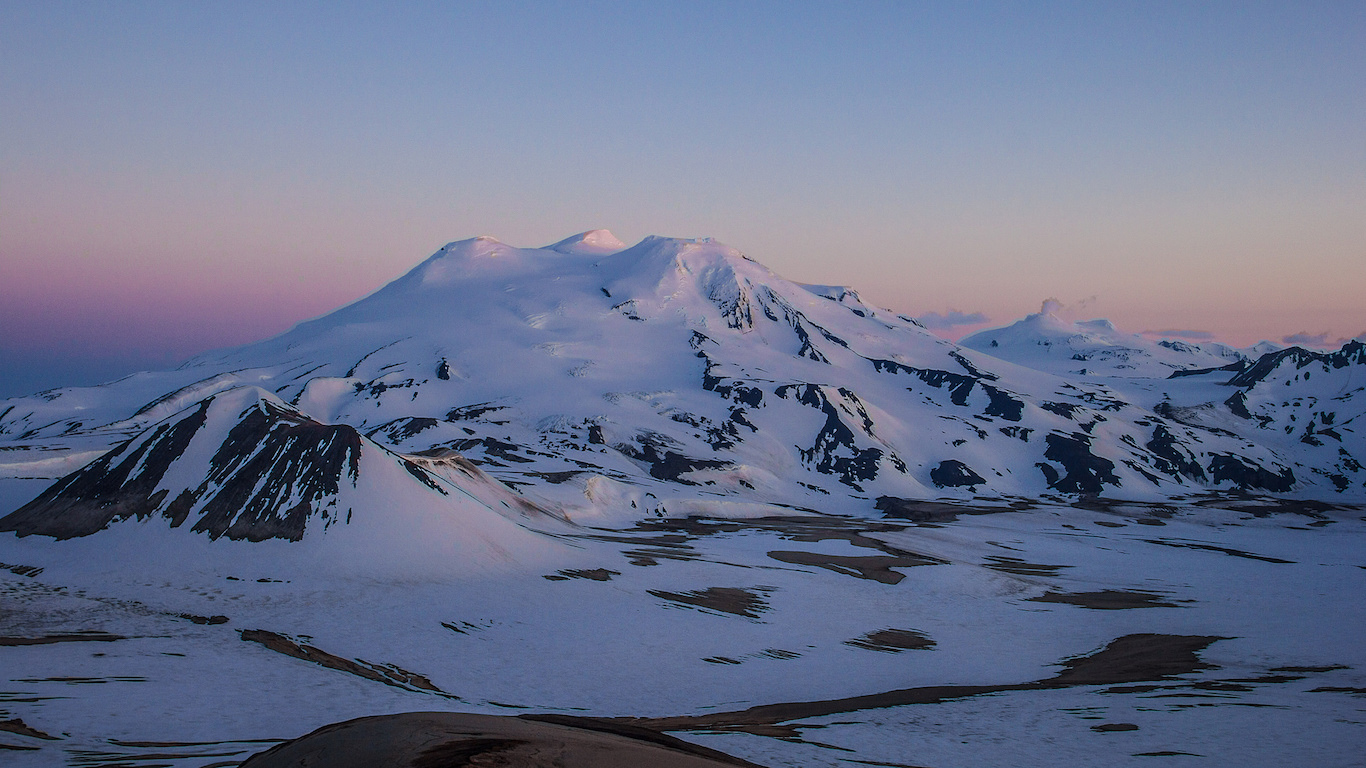
44. Mageik, Alaska
> Threat score: 75
> Last eruption year: 500 B.C.
> Pop. within 30 km: 0
> Pop. within 100 km: 376
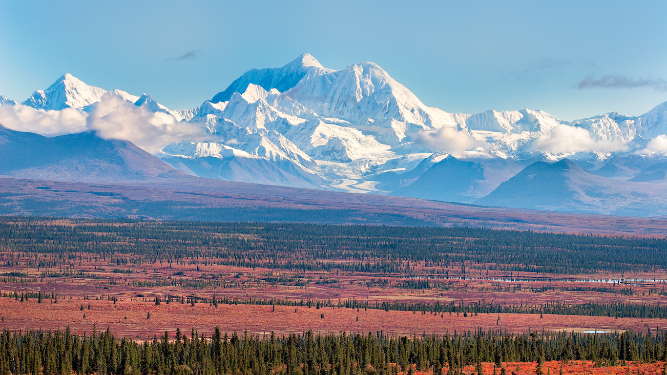
43. Hayes, Alaska
> Threat score: 75
> Last eruption year: 1200
> Pop. within 30 km: 0
> Pop. within 100 km: 151
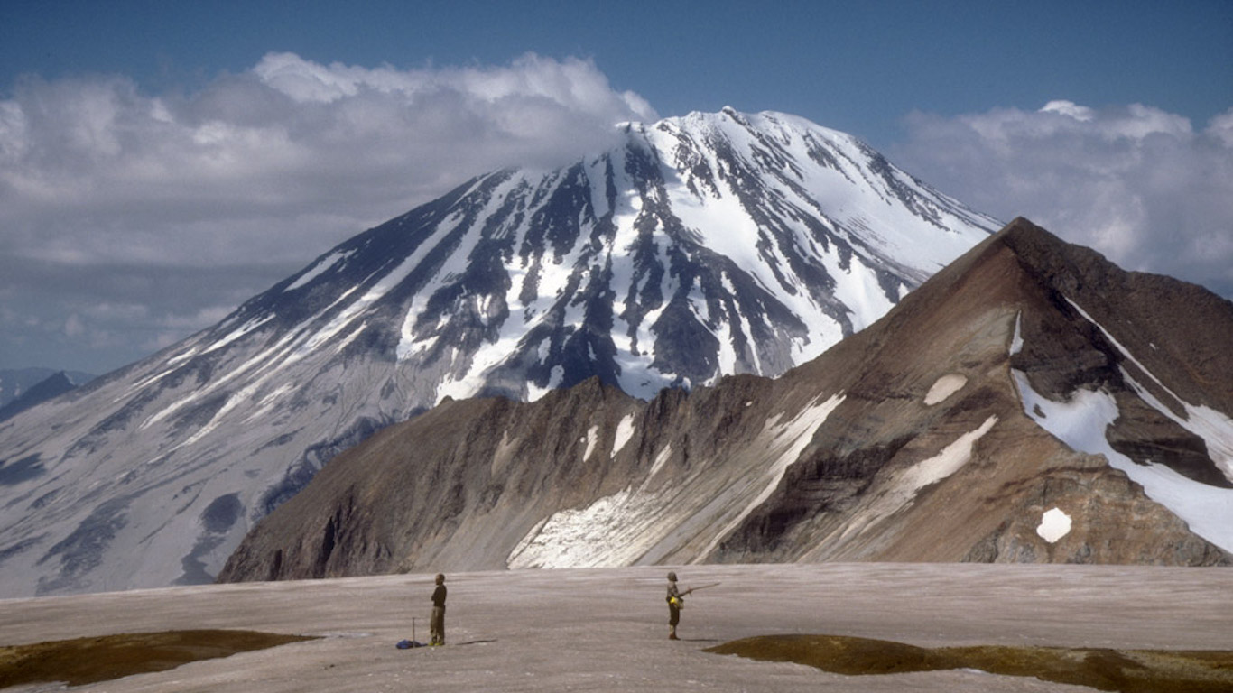
42. Griggs, Alaska
> Threat score: 75
> Last eruption year: 1790 B.C.
> Pop. within 30 km: 0
> Pop. within 100 km: 654
[in-text-ad-2]
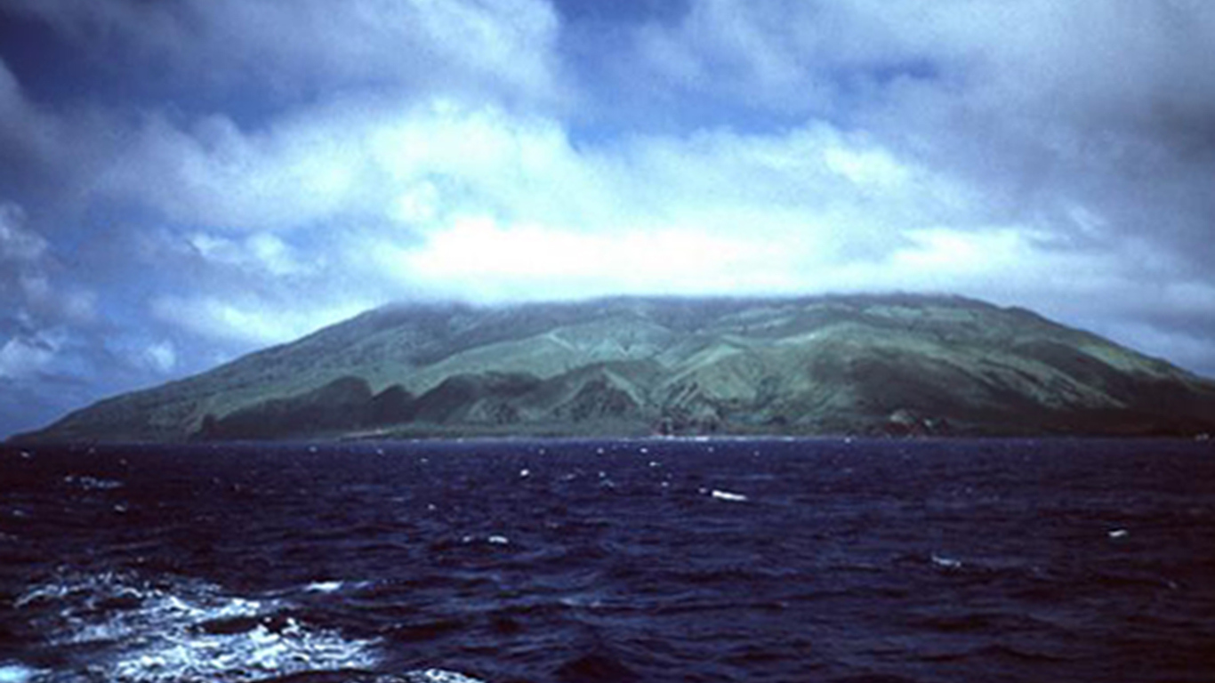
41. Agrigan, Northern Mariana Islands
> Threat score: 77
> Last eruption year: 1917
> Pop. within 30 km: 0
> Pop. within 100 km: 0
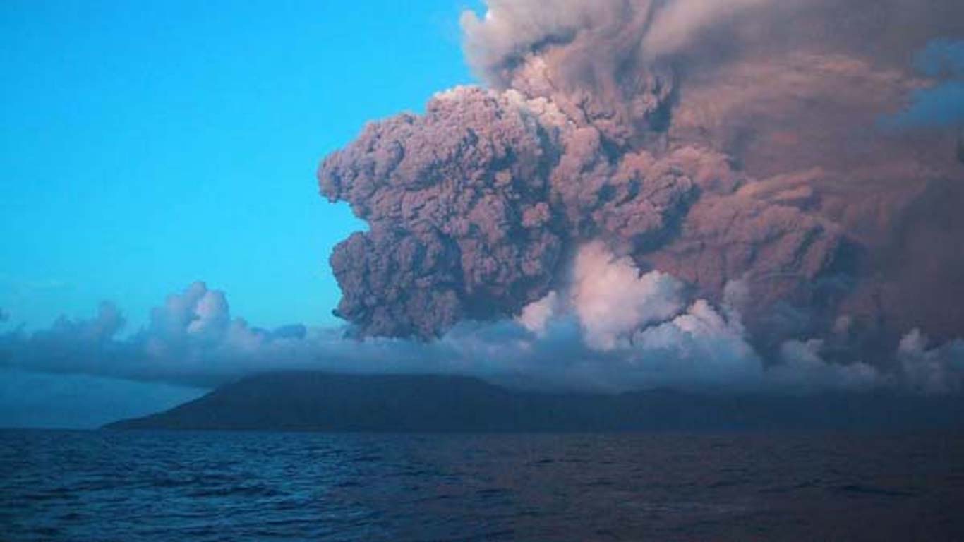
40. Anatahan, Northern Mariana Islands
> Threat score: 81
> Last eruption year: 2008
> Pop. within 30 km: 0
> Pop. within 100 km: 0
[in-text-ad]
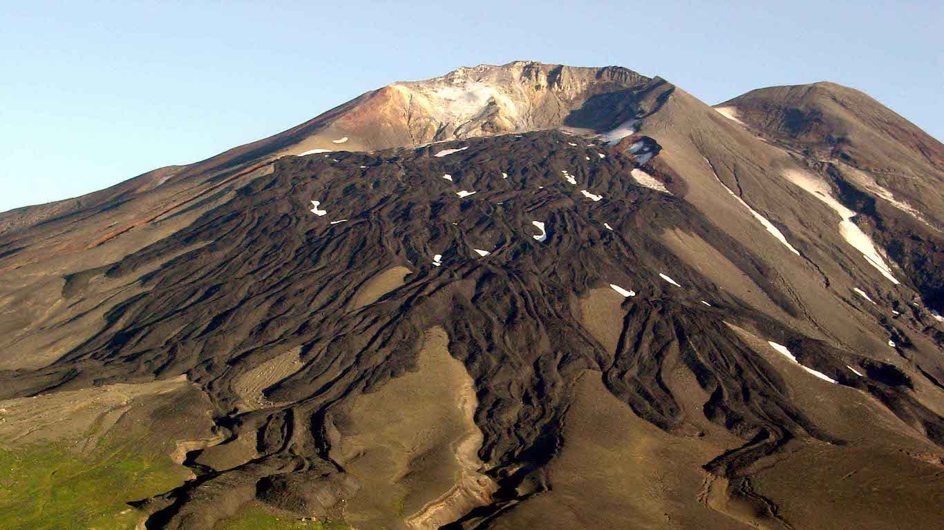
39. Gareloi, Alaska
> Threat score: 82
> Last eruption year: 1989
> Pop. within 30 km: 0
> Pop. within 100 km: 0
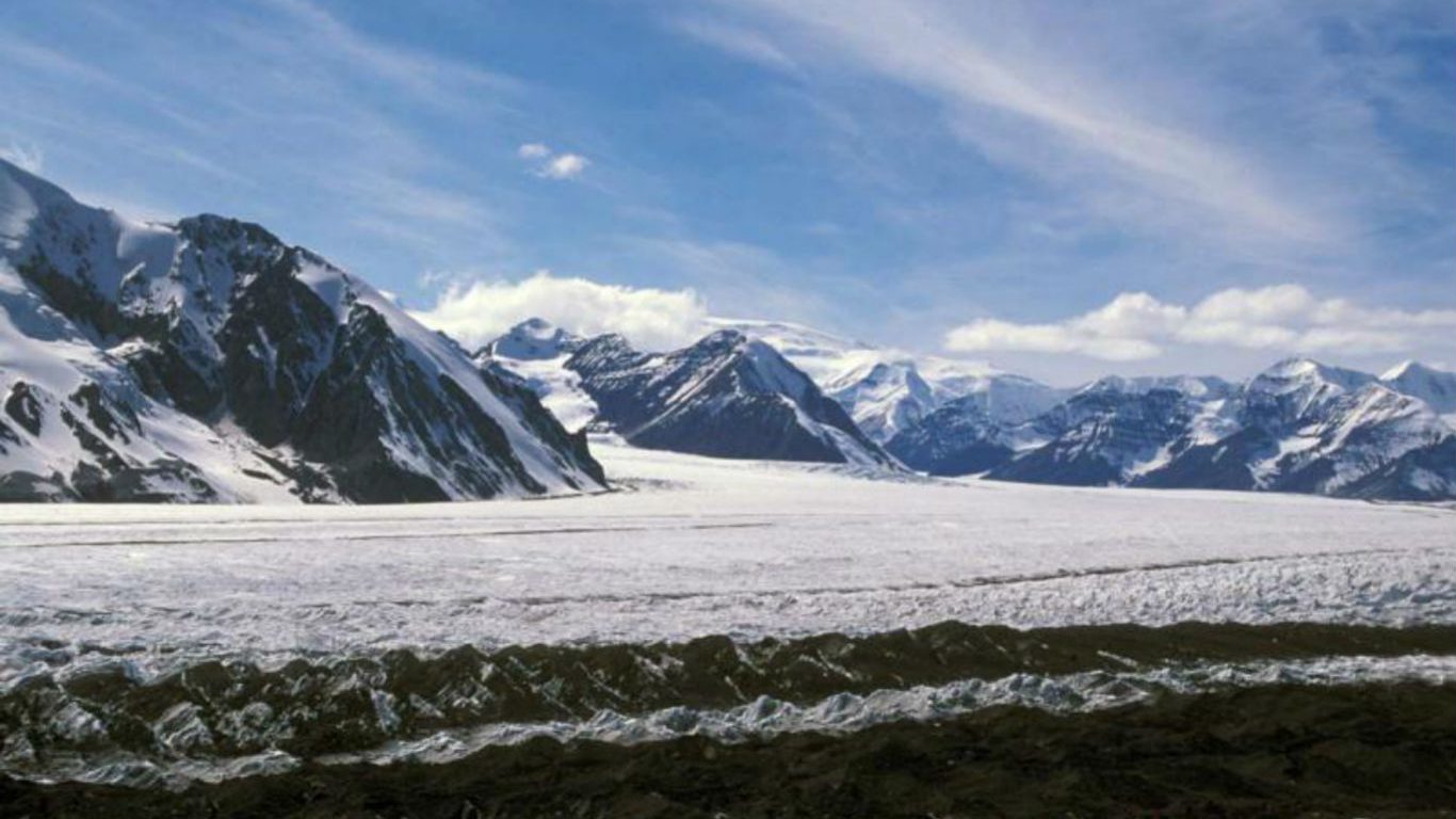
38. Churchill, Alaska
> Threat score: 83
> Last eruption year: 847
> Pop. within 30 km: 0
> Pop. within 100 km: 95
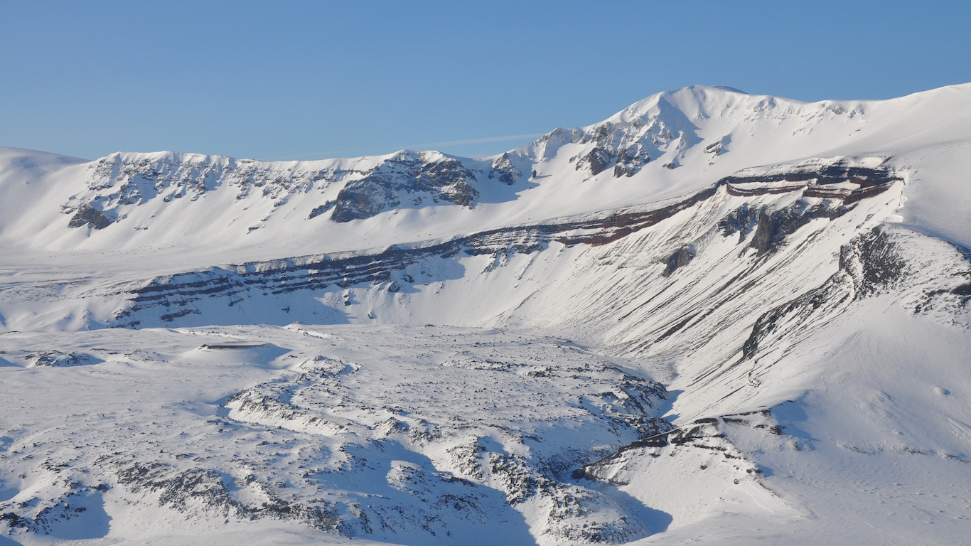
37. Aniakchak, Alaska
> Threat score: 88
> Last eruption year: 1931
> Pop. within 30 km: 36
> Pop. within 100 km: 479
[in-text-ad-2]
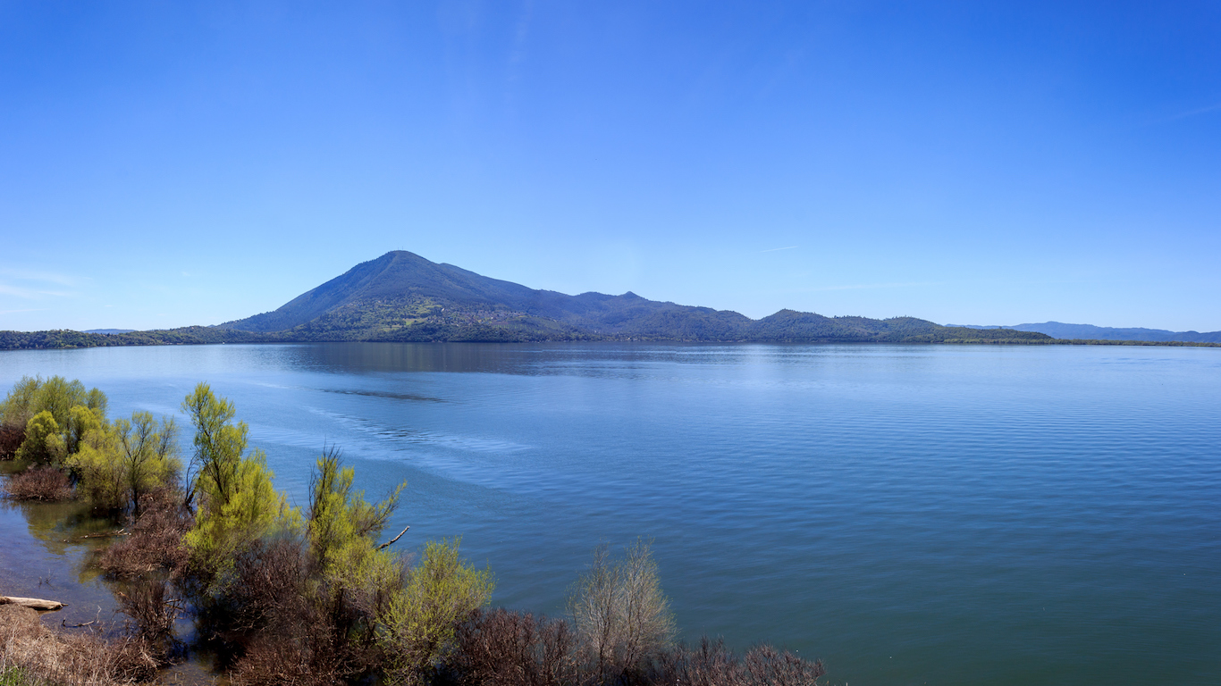
36. Clear Lake, California
> Threat score: 89
> Last eruption year: 8000 B.C.
> Pop. of Soda Bay, the closest town: 1,495
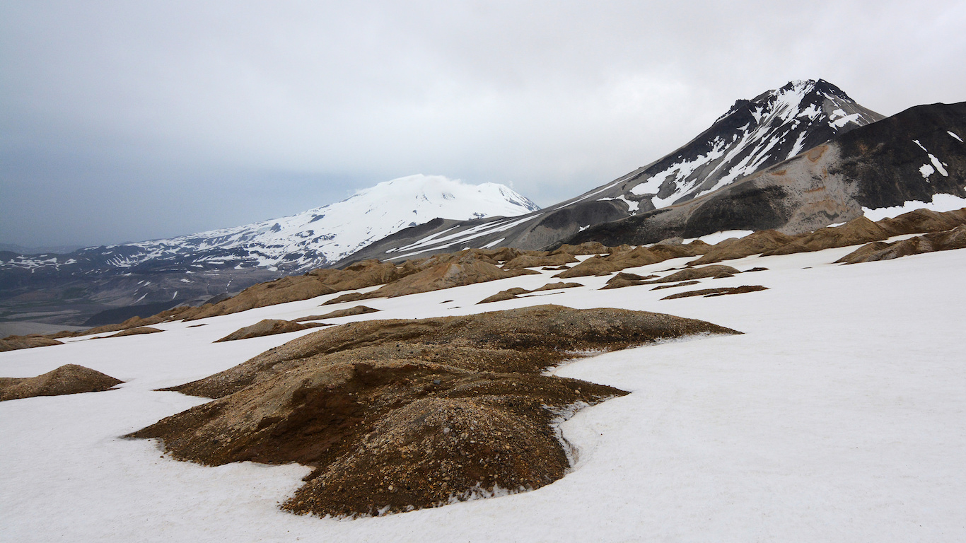
35. Trident, Alaska
> Threat score: 90
> Last eruption year: 1974
> Pop. within 30 km: 0
> Pop. within 100 km: 117
[in-text-ad]
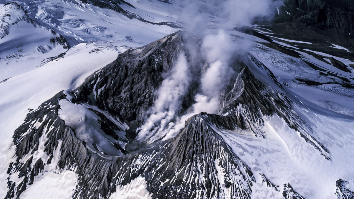
34. Katmai, Alaska
> Threat score: 90
> Last eruption year: 1912
> Pop. within 30 km: 0
> Pop. within 100 km: 128
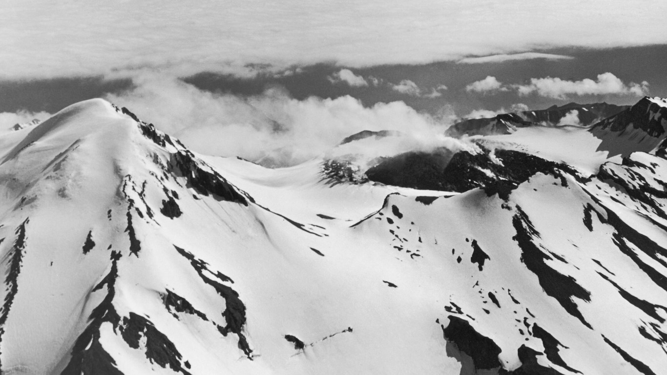
33. Great Sitkin, Alaska
> Threat score: 90
> Last eruption year: 1974
> Pop. within 30 km: 0
> Pop. within 100 km: 0
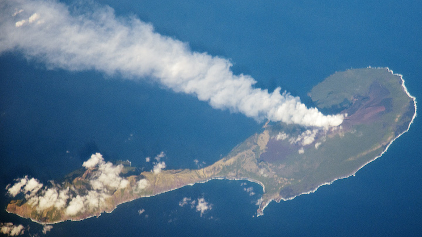
32. Pagan, Northern Mariana Islands
> Threat score: 91
> Last eruption year: 2012
> Pop. within 30 km: 0
> Pop. within 100 km: 0
[in-text-ad-2]
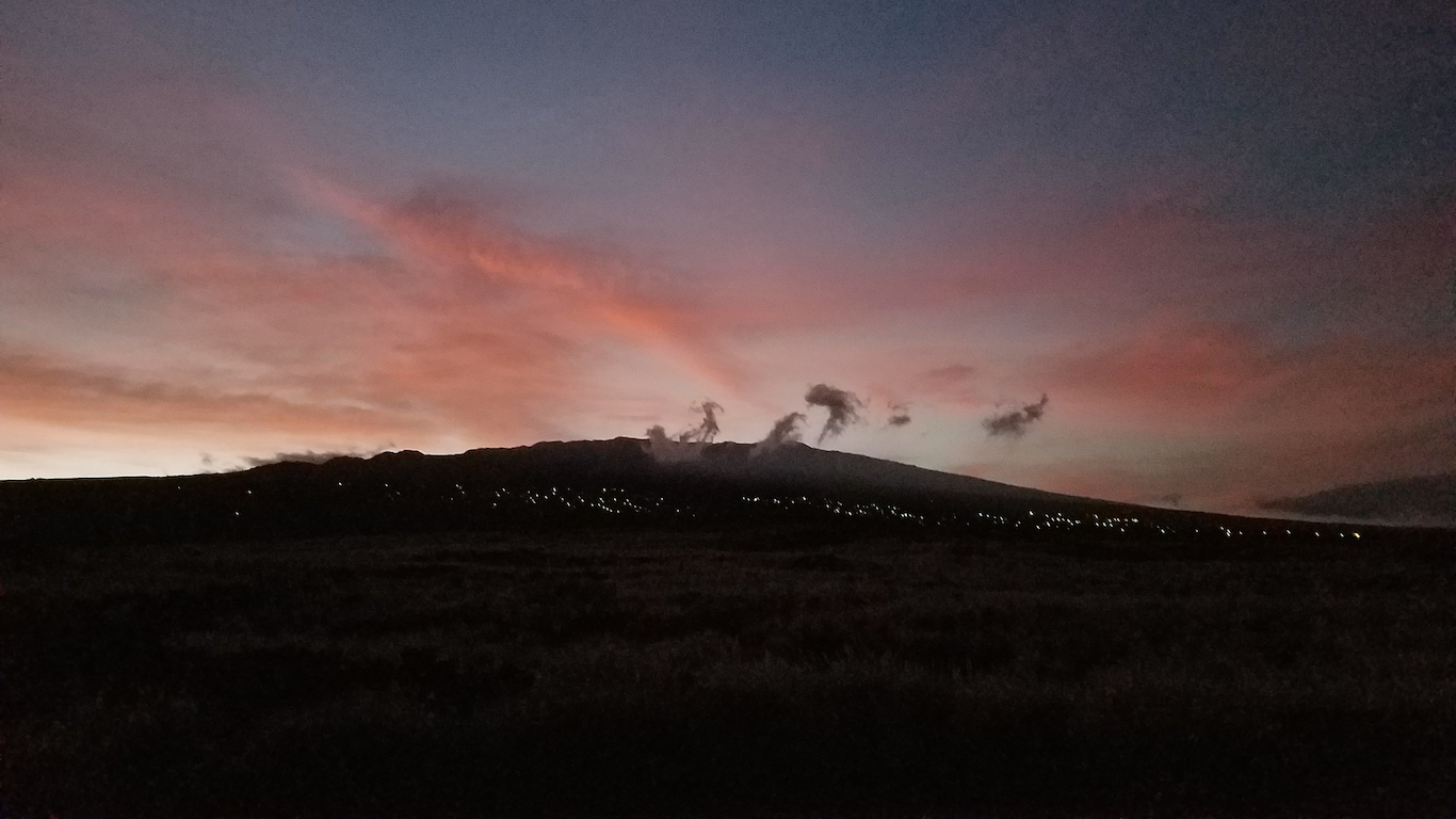
31. Hualalai, Hawaii
> Threat score: 92
> Last eruption year: 1801
> Pop. within 30 km: 46,959
> Pop. within 100 km: 166,240
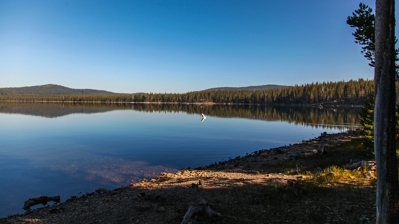
30. Medicine Lake, California
> Threat score: 92
> Last eruption year: 1060
> Pop. within 30 km: 254
> Pop. within 100 km: 120,685
[in-text-ad]
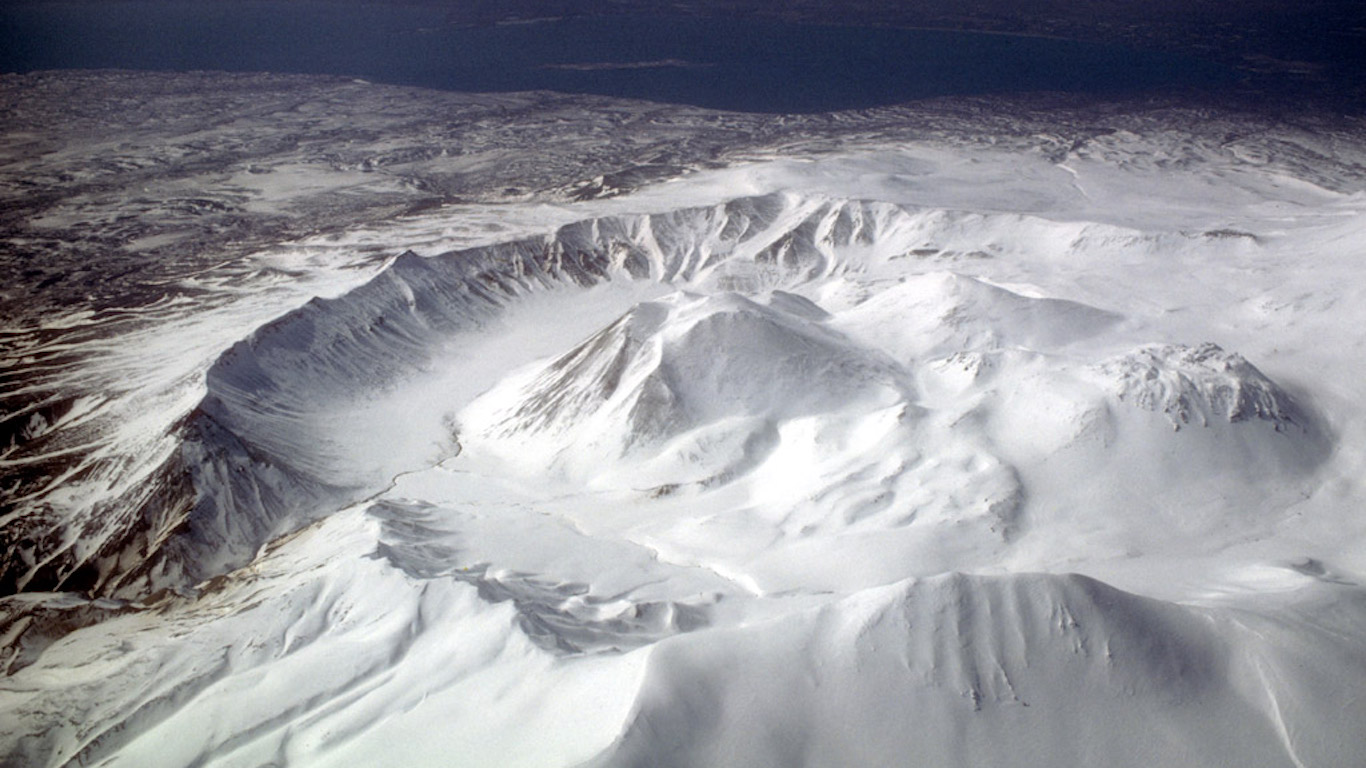
29. Ugashik-Peulik, Alaska
> Threat score: 93
> Last eruption year: 1814
> Pop. within 30 km: 0
> Pop. within 100 km: 102
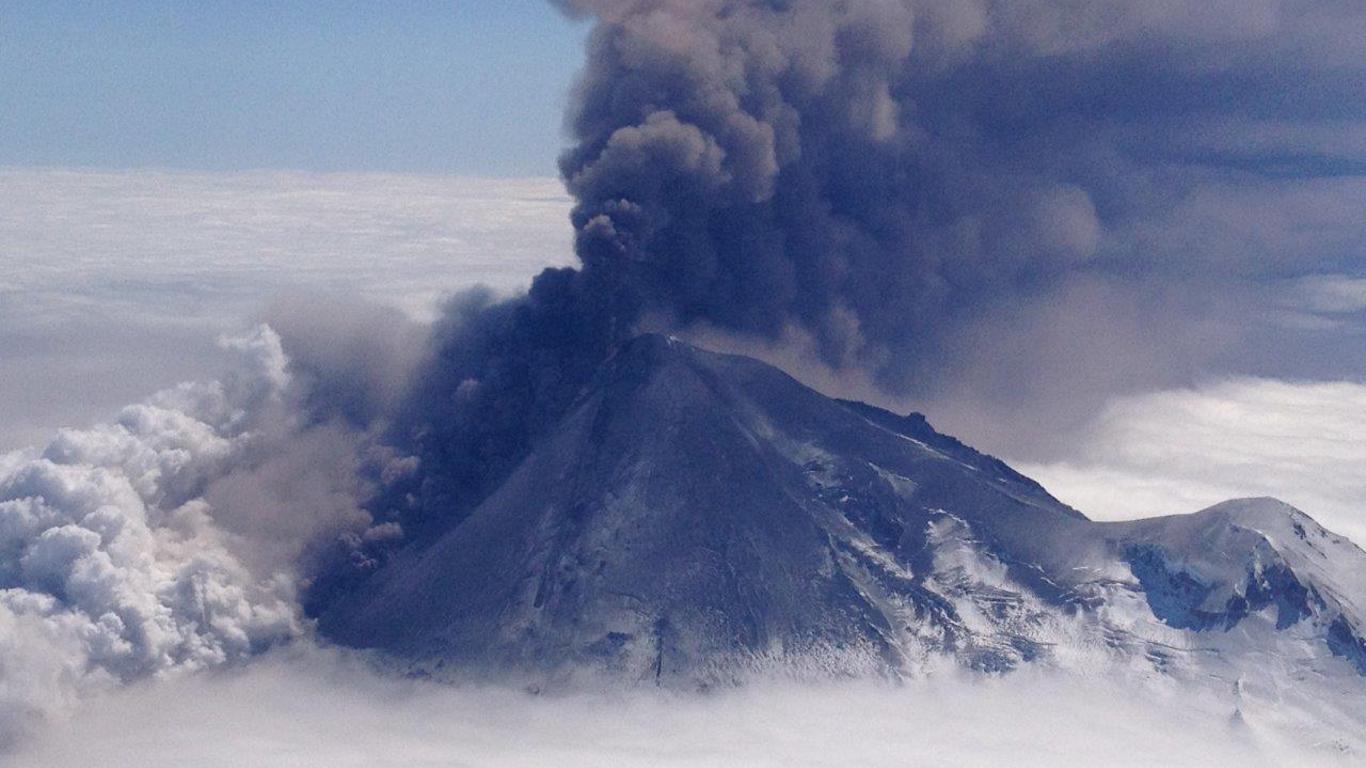
28. Pavlof, Alaska
> Threat score: 95
> Last eruption year: 2016
> Pop. within 30 km: 0
> Pop. within 100 km: 3,002
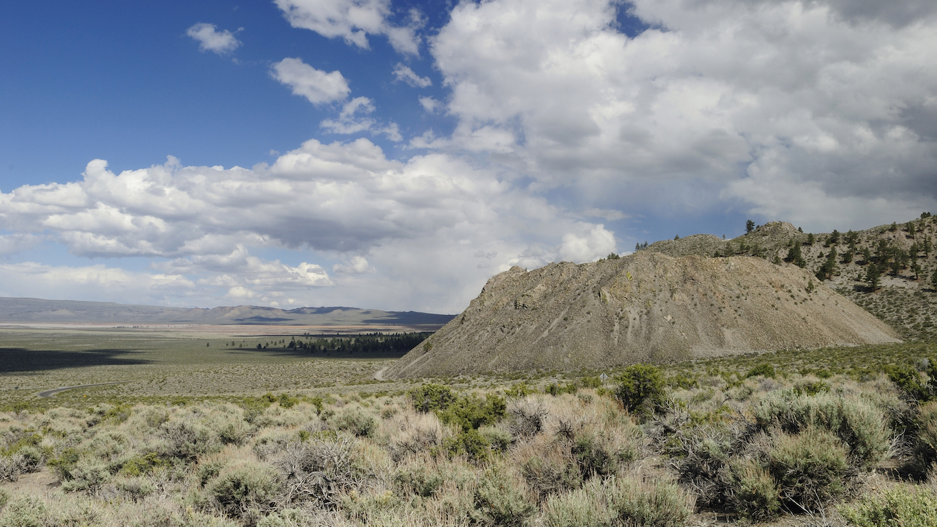
27. Mono Craters, California
> Threat score: 98
> Last eruption year: 1380
> Pop. within 30 km: 9,048
> Pop. within 100 km: 82,160
[in-text-ad-2]
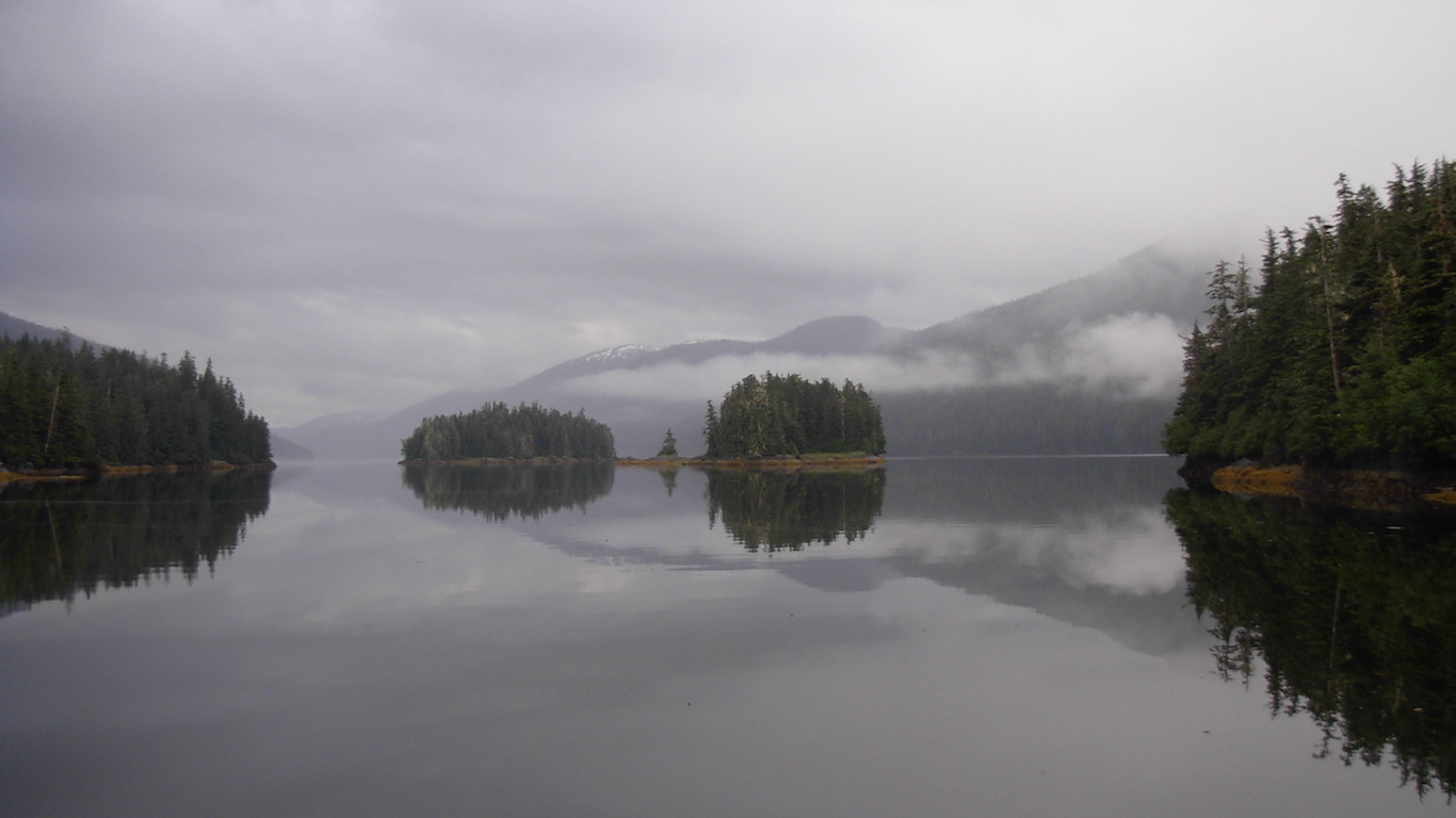
26. Wrangell, Alaska
> Threat score: 100
> Last eruption year: 1912
> Pop. within 30 km: 0
> Pop. within 100 km: 1,844
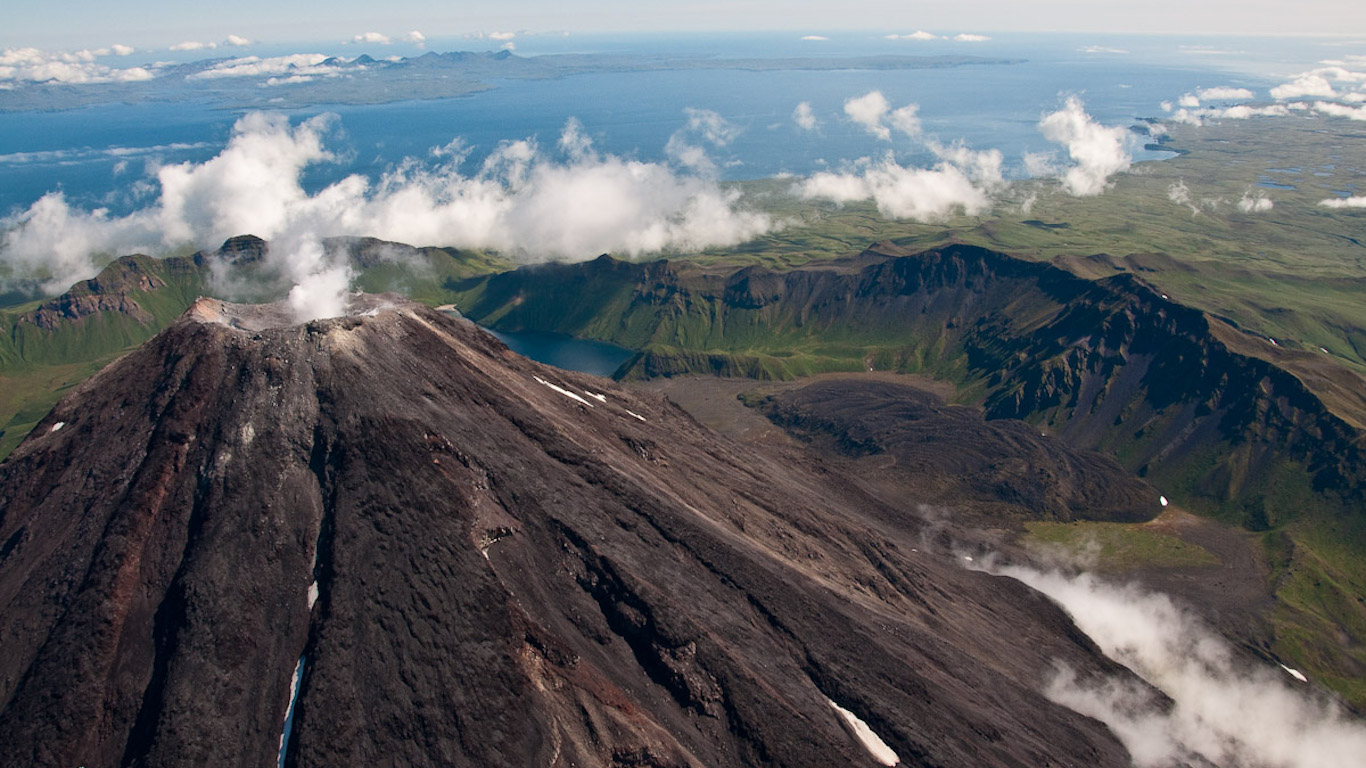
25. Kanaga, Alaska
> Threat score: 102
> Last eruption year: 2012
> Pop. within 30 km: 0
> Pop. within 100 km: 0
[in-text-ad]
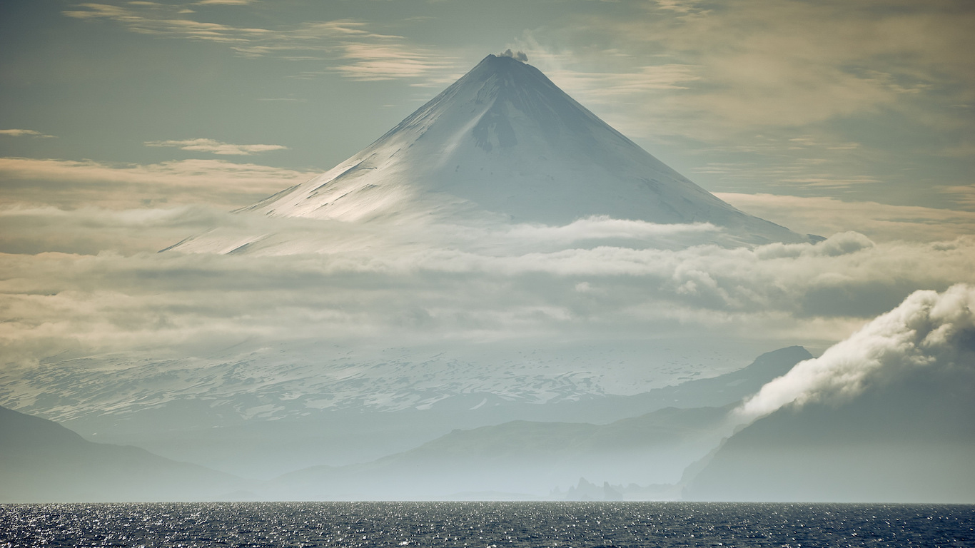
24. Shishaldin, Alaska
> Threat score: 104
> Last eruption year: 2015
> Pop. within 30 km: 10
> Pop. within 100 km: 197
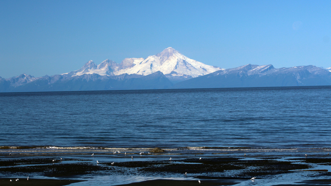
23. Iliamna, Alaska
> Threat score: 106
> Last eruption year: 1876
> Pop. within 30 km: 1
> Pop. within 100 km: 7,564
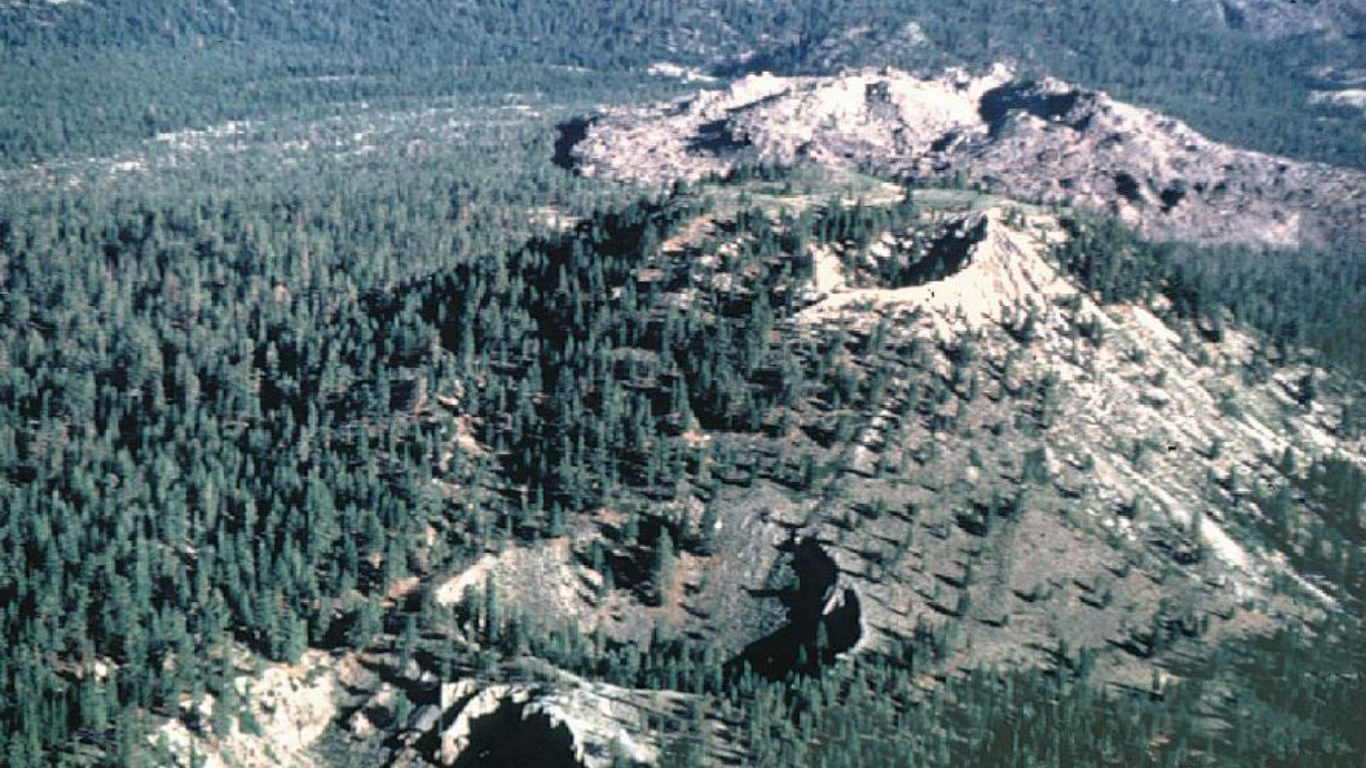
22. Inyo Craters, California
> Threat score: 106
> Last eruption year: 1380.
> Pop. within 30 km: 9,048
> Pop. within 100 km: 82,160
[in-text-ad-2]
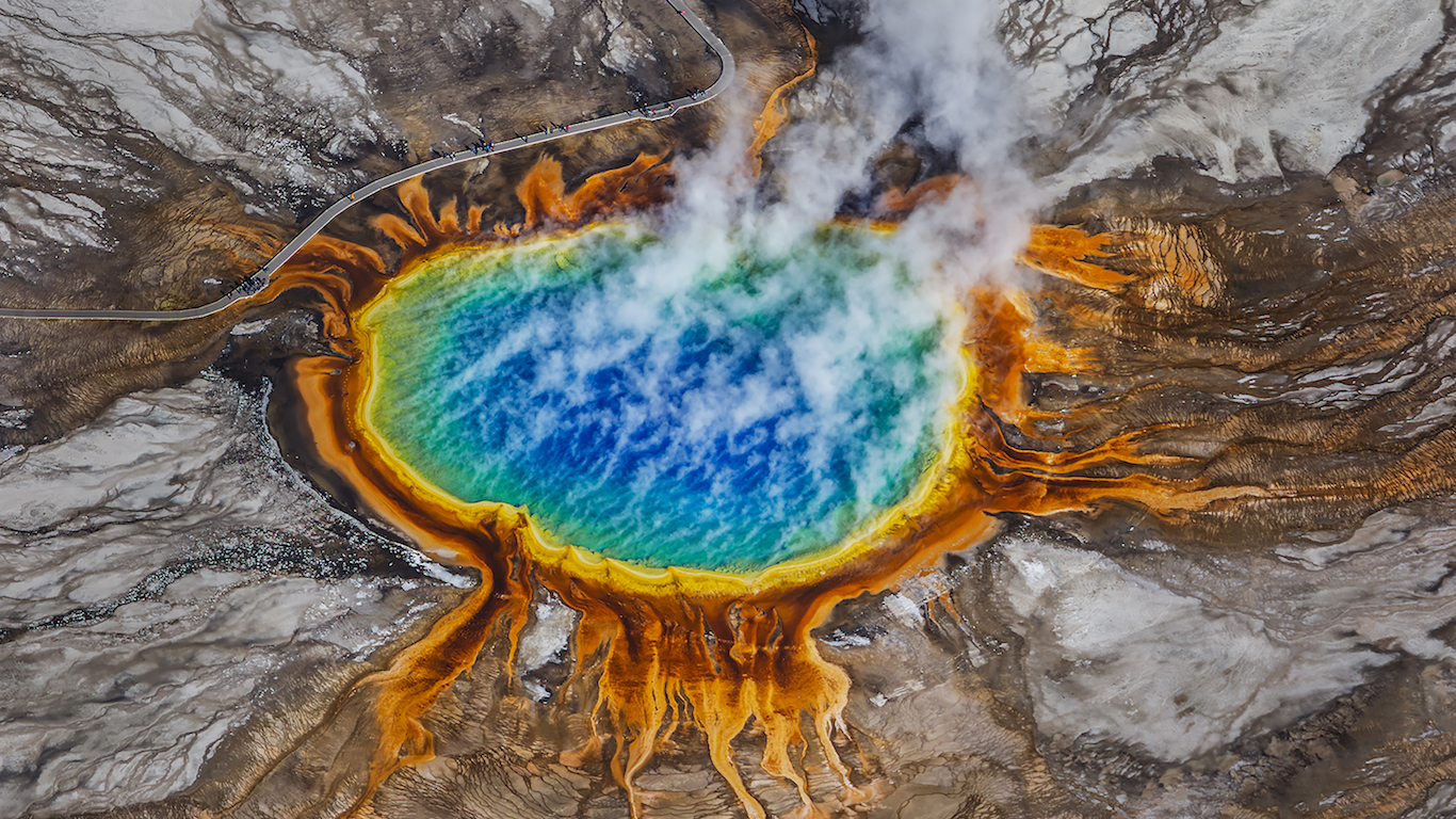
21. Yellowstone, Wyoming
> Threat score: 107
> Last eruption year: 1350 B.C.
> Pop. within 30 km: 234
> Pop. within 100 km: 20,692
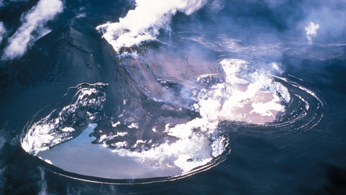
20. Veniaminof, Alaska
> Threat score: 109
> Last eruption year: 2013
> Pop. within 30 km: 0
> Pop. within 100 km: 542
[in-text-ad]
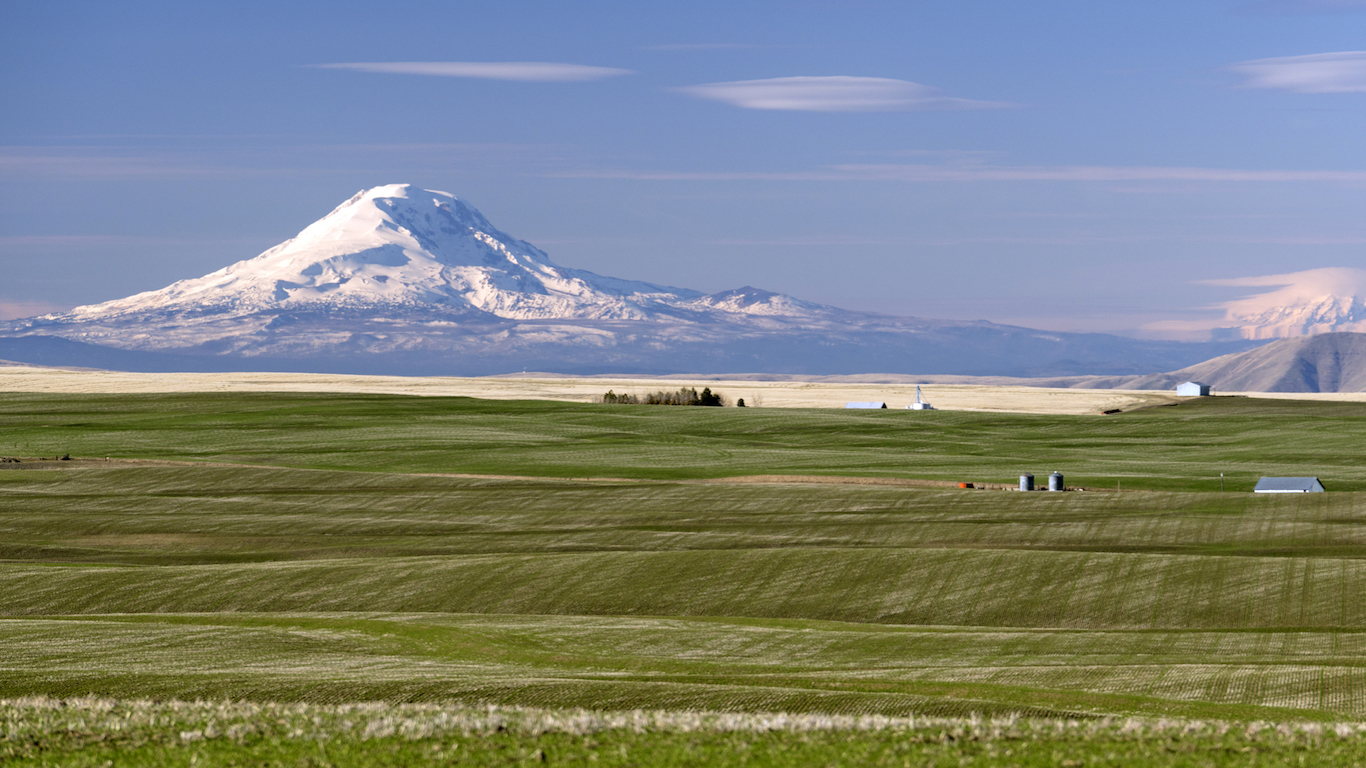
19. Adams, Washington
> Threat score: 113
> Last eruption year: 950
> Pop. within 30 km: 4,019
> Pop. within 100 km: 393,303
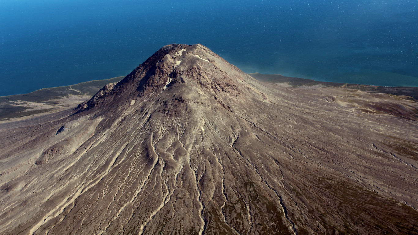
18. Augustine, Alaska
> Threat score: 123
> Last eruption year: 2006
> Pop. within 30 km: 0
> Pop. within 100 km: 759
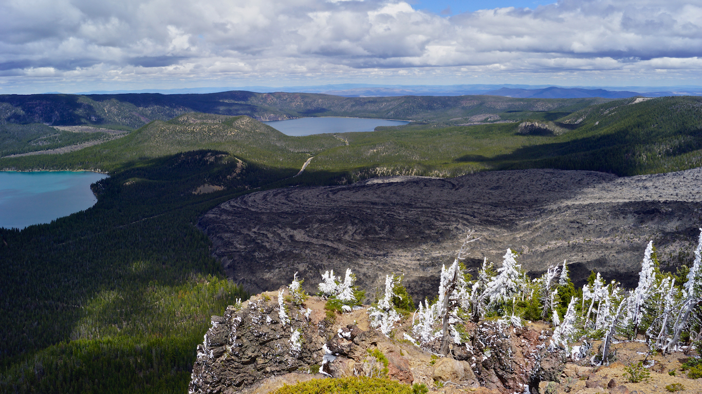
17. Newberry, Oregon
> Threat score: 126
> Last eruption year: 690
> Pop. within 30 km: 16,437
> Pop. within 100 km: 180,091
[in-text-ad-2]
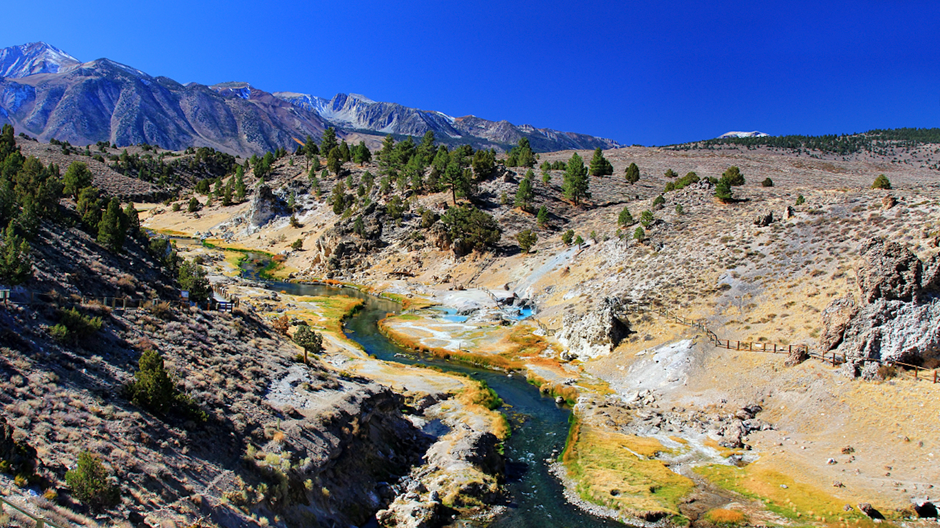
16. Long Valley Caldera, California
> Threat score: 128
> Last eruption year: 14,000-15,000 B.C.
> Pop. of Mammoth Lakes, the closest town: 8,234
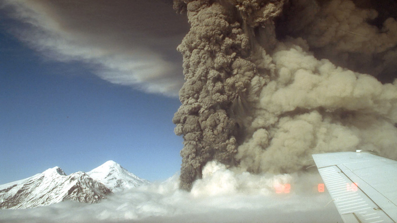
15. Spurr, Alaska
> Threat score: 130
> Last eruption year: 1992
> Pop. within 30 km: 0
> Pop. within 100 km: 11,097
[in-text-ad]
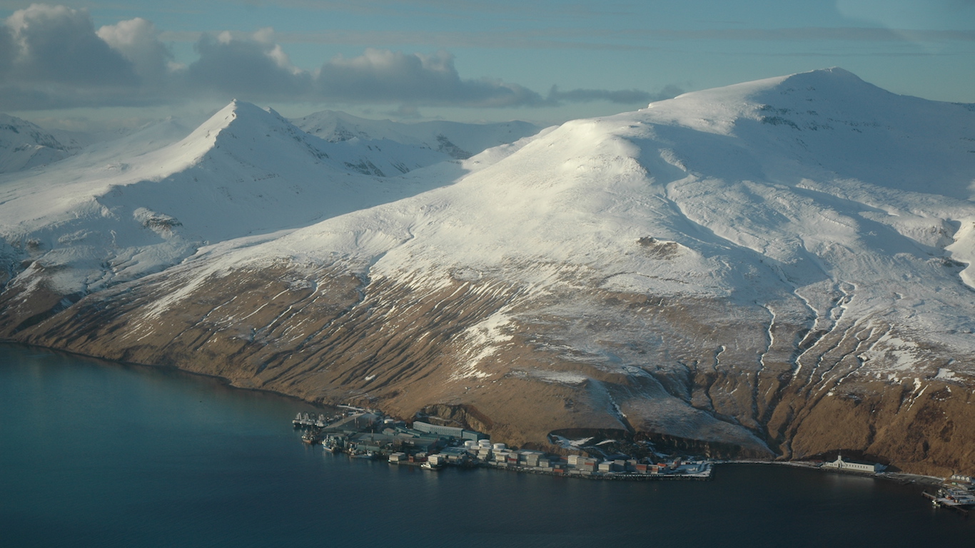
14. Akutan, Alaska
> Threat score: 140
> Last eruption year: 1992
> Pop. within 30 km: 233
> Pop. within 100 km: 4,361
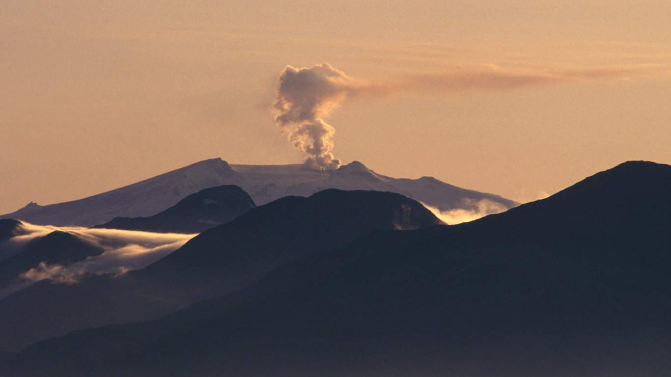
13. Makushin, Alaska
> Threat score: 152
> Last eruption year: 1995
> Pop. within 30 km: 3,437
> Pop. within 100 km: 3,850
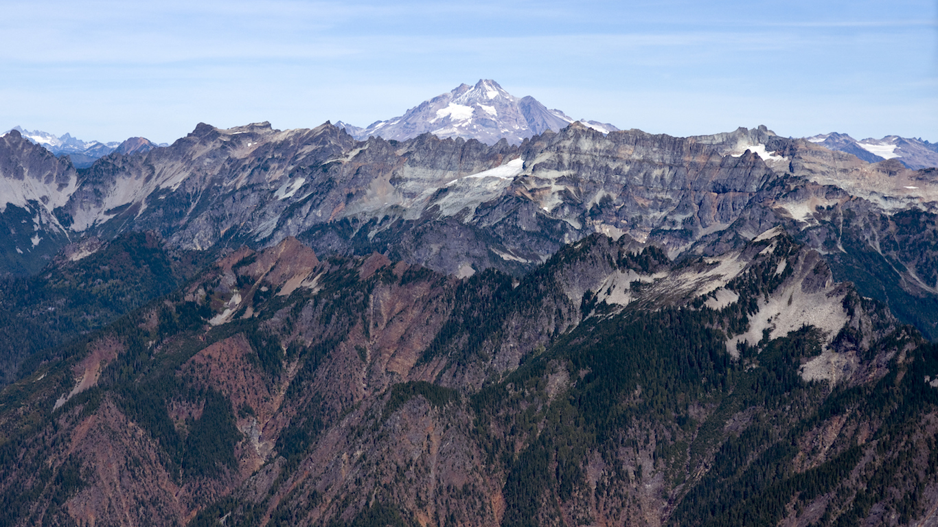
12. Glacier Peak, Washington
> Threat score: 155
> Last eruption year: 1700
> Pop. within 30 km: 23
> Pop. within 100 km: 1,340,896
[in-text-ad-2]
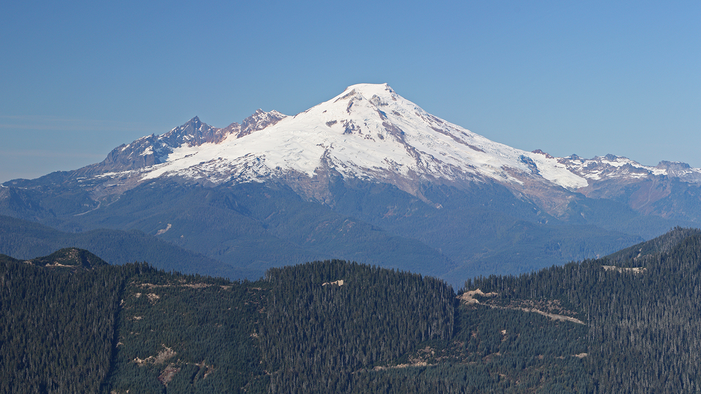
11. Baker, Washington
> Threat score: 156
> Last eruption year: 1880
> Pop. within 30 km: 8,568
> Pop. within 100 km: 1,990,504
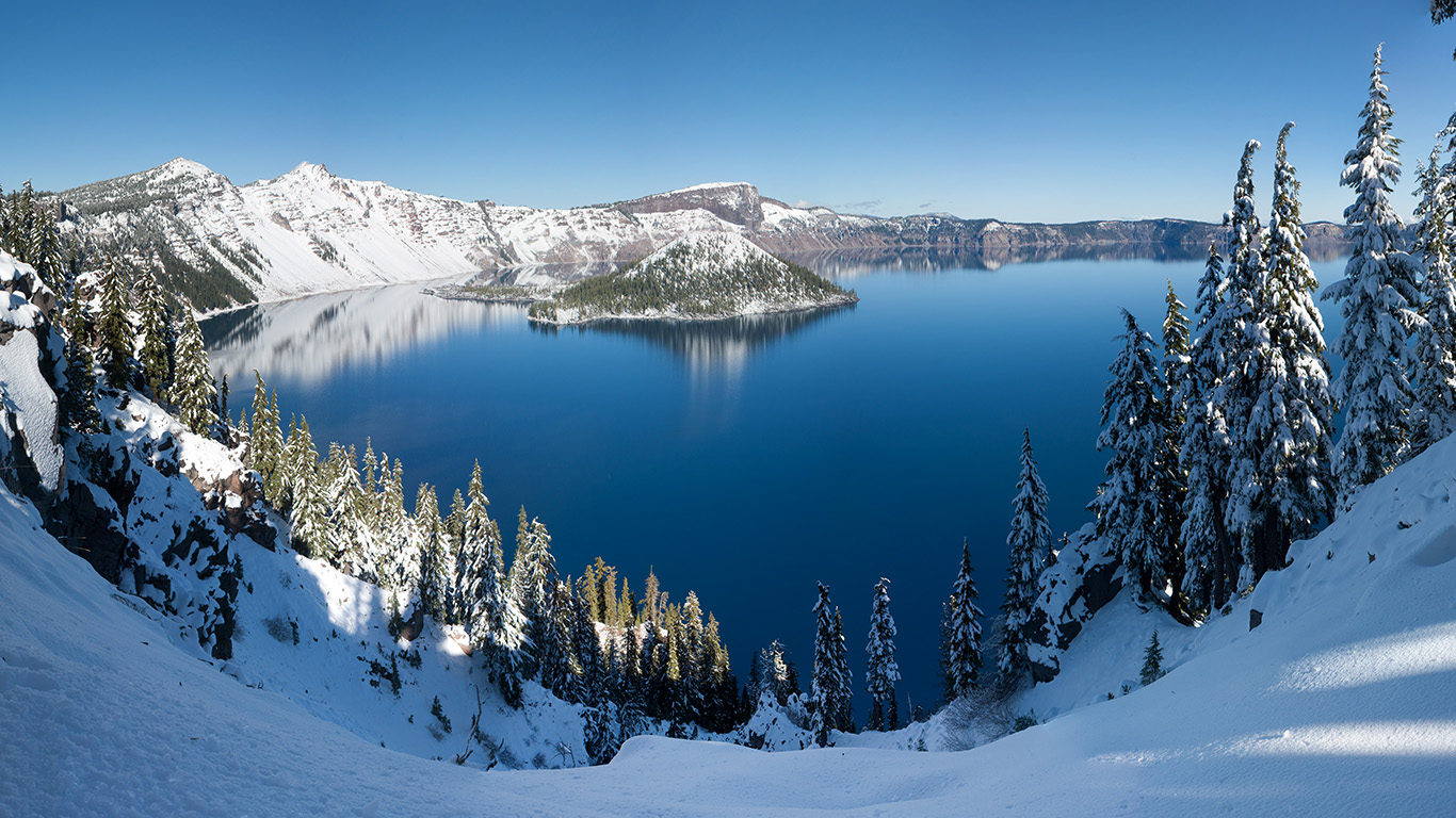
10. Crater Lake, Oregon
> Threat score: 161
> Last eruption year: 2850 B.C.
> Pop. within 30 km: 366
> Pop. within 100 km: 272,674
[in-text-ad]
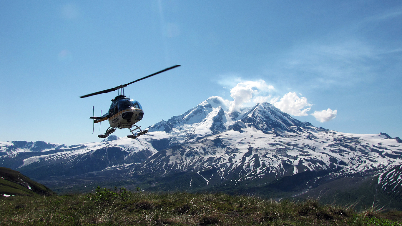
9. Redoubt, Alaska
> Threat score: 164
> Last eruption year: 2009
> Pop. within 30 km: 1
> Pop. within 100 km: 32,410
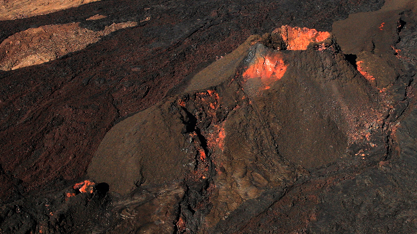
8. Mauna Loa, Hawaii
> Threat score: 170
> Last eruption year: 1984
> Pop. within 30 km: 1,906
> Pop. within 100 km: 175,315
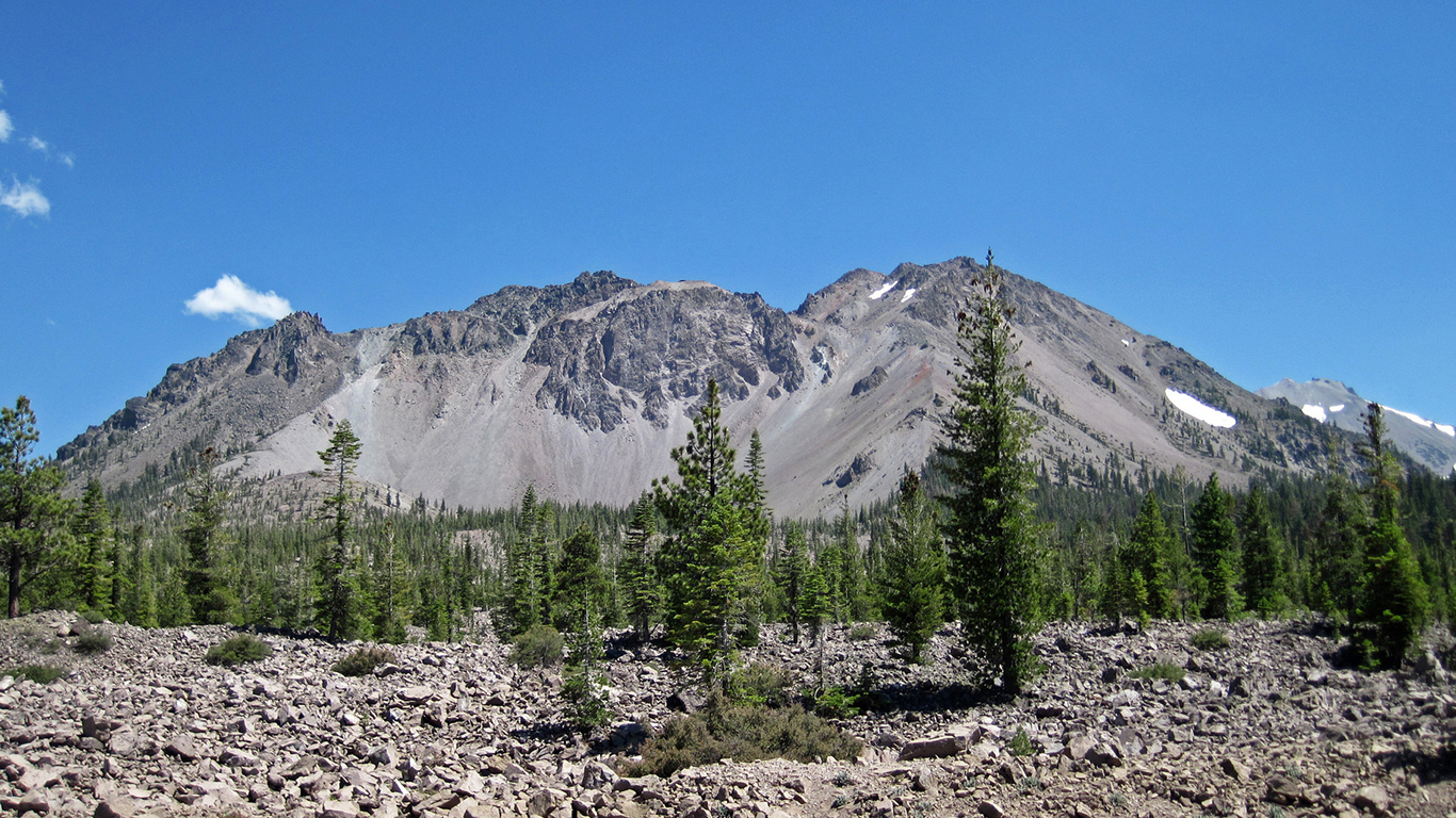
7. Lassen Volcanic Center, California
> Threat score: 186
> Last eruption year: 1917
> Pop. within 30 km: 2,340
> Pop. within 100 km: 439,135
[in-text-ad-2]
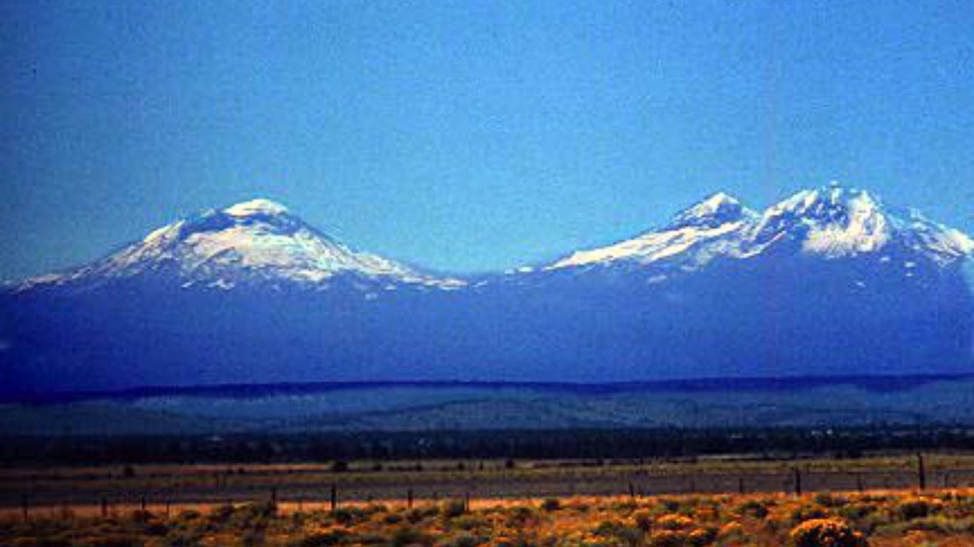
6. Three sisters, Oregon
> Threat score: 194
> Last eruption year: 440
> Pop. within 30 km: 5,672
> Pop. within 100 km: 279,885
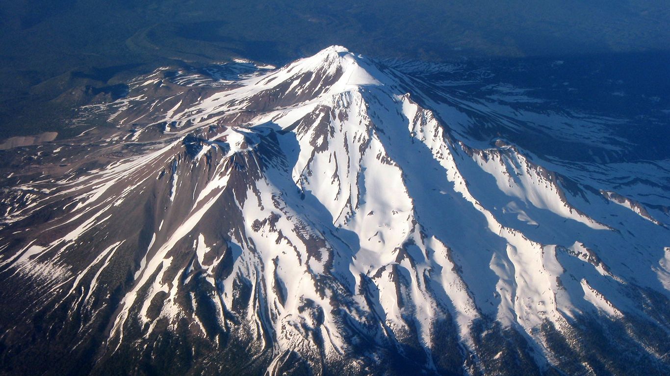
5. Shasta, California
> Threat score: 210
> Last eruption year: 1786
> Pop. within 30 km: 19,785
> Pop. within 100 km: 265,016
[in-text-ad]
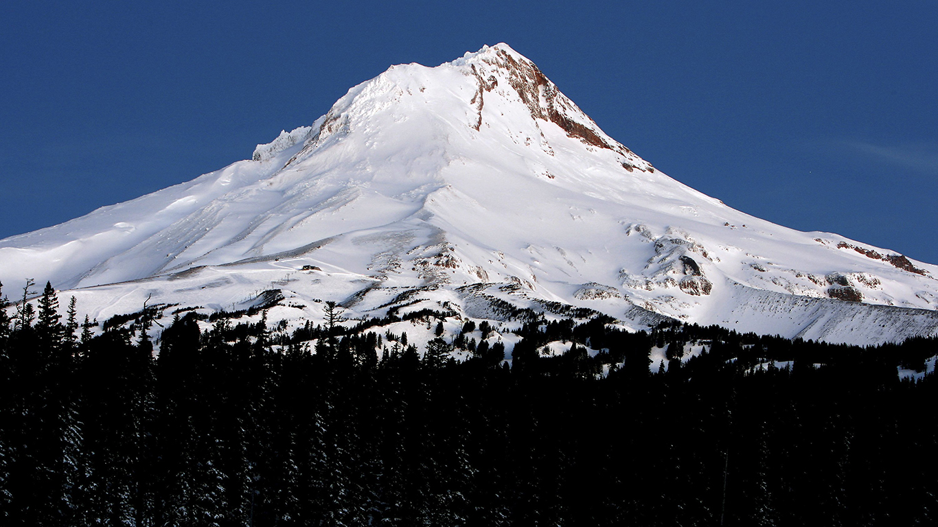
4. Hood, Oregon
> Threat score: 213
> Last eruption year: 1866
> Pop. within 30 km: 9,721
> Pop. within 100 km: 2,067,520
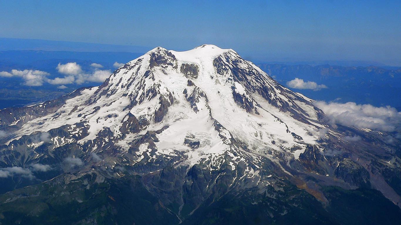
3. Rainier, Washington
> Threat score: 244
> Last eruption year: 1450
> Pop. within 30 km: 3,187
> Pop. within 100 km: 2,667,609
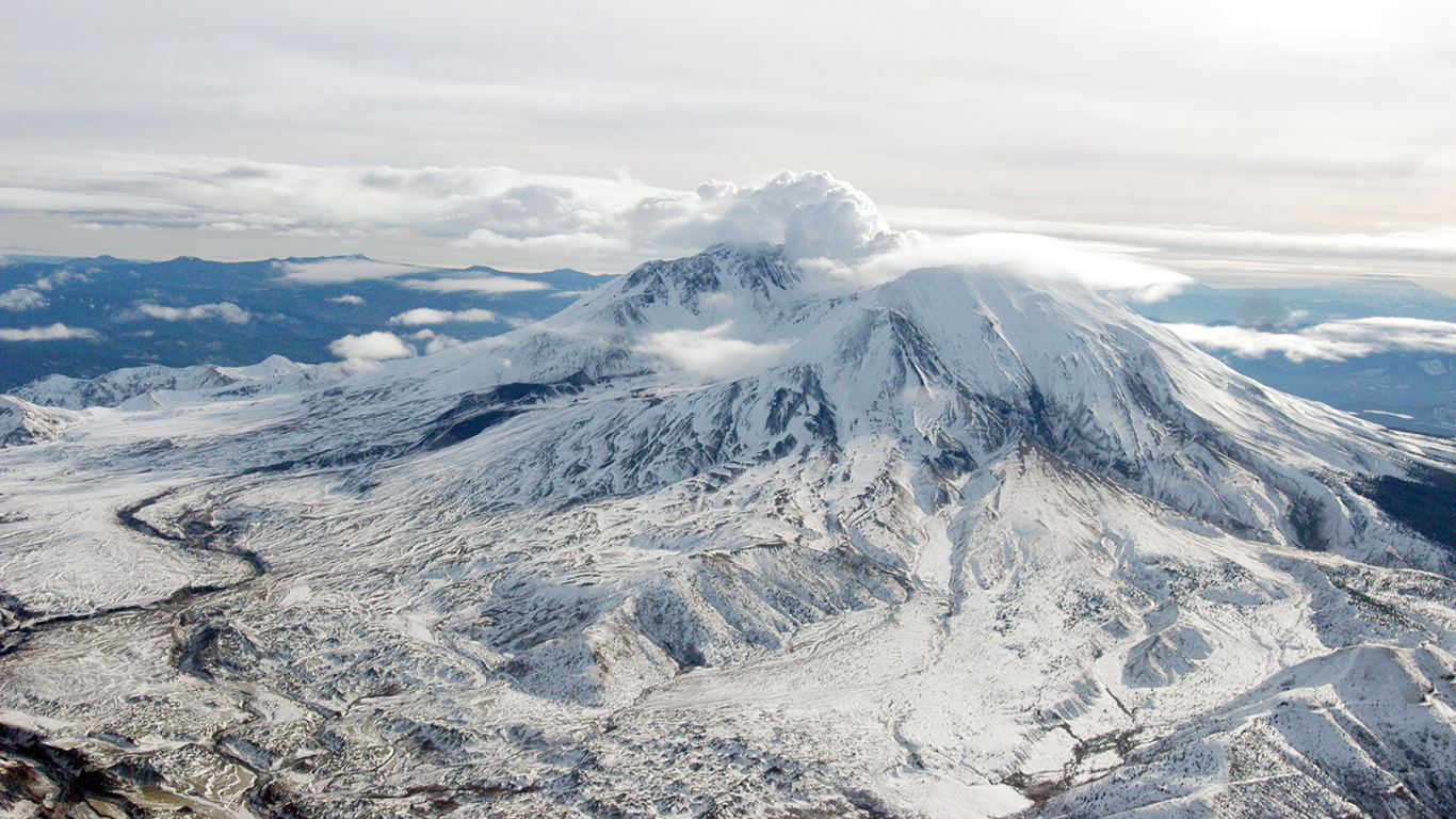
2. St. Helens, Washington
> Threat score: 267
> Last eruption year: 2008
> Pop. within 30 km: 2,221
> Pop. within 100 km: 2,173,101
[in-text-ad-2]
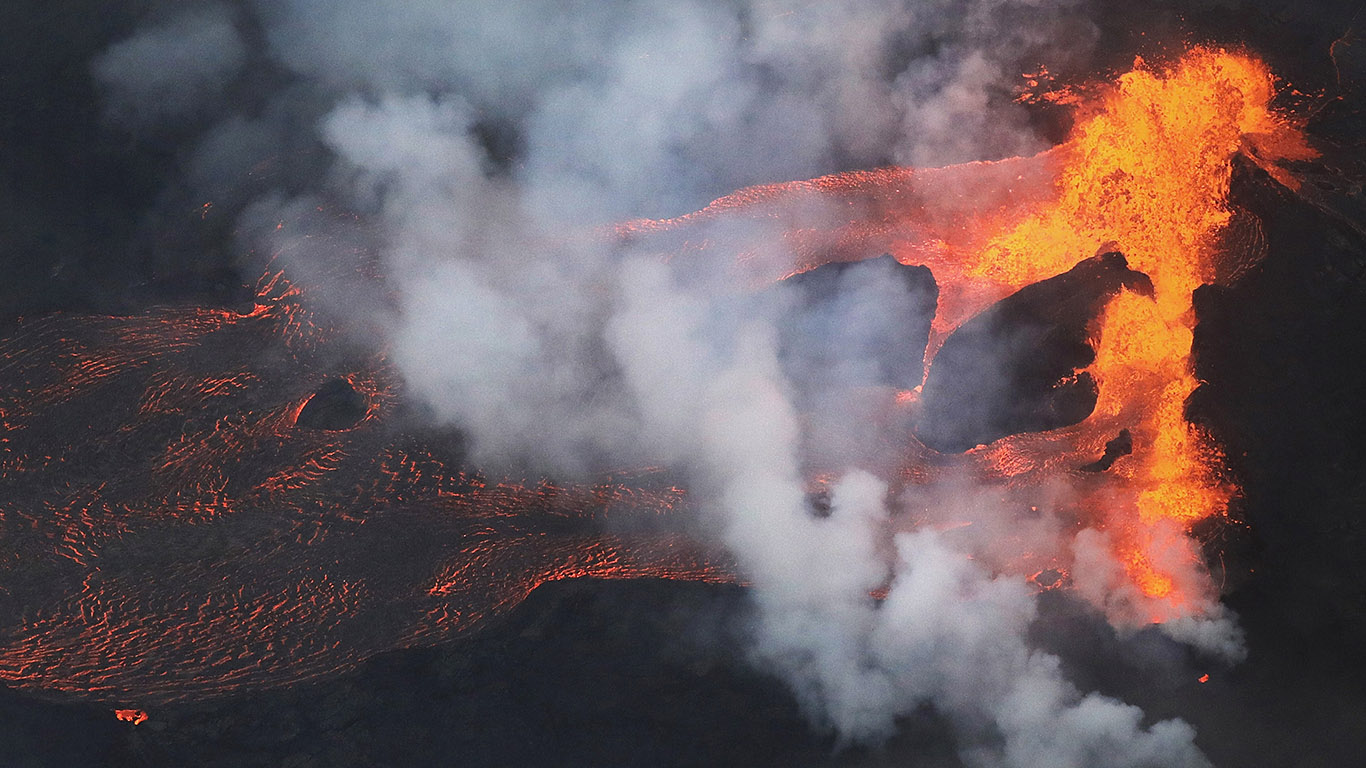
1. Kilauea, Hawaii
> Threat score: 324
> Last eruption year: 2018
> Pop. within 30 km: 8,495
> Pop. within 100 km: 169,550
Detailed Findings & Methodology
Because of its disproportionately high number of active volcanoes and high population density, Indonesia has by far the highest volcanic threat level of all countries. Along the boundaries of tectonic plates, there are plenty of active volcanoes in the United States as well.
Twenty-six of the 50 volcanoes listed are in Alaska, seven are in California, five are in Washington, and there are four in each Oregon and the Northern Mariana Islands. One, Yellowstone, is in Wyoming.
Apart from the current eruption in Hawaii, the most recent eruptions in the United States were in Alaska. Pavlof, Veniaminof, and Shishaldin erupted in 2016, 2015, and 2013, respectively. But as these volcanoes are located along the remote and sparsely populated Aleutian Islands, eruptions there are less threatening than those that might occur in many other parts of the country.
The last eruption in California was 100 years ago — relatively recent by geological standards. The state is home to the iconic cone of Mount Shasta, the lava domes of the Mono-Inyo Craters, and to frequent steam explosions of Ubehebe Craters.
In addition to land damage from lava flows and health risks from toxic gas, other consequences include obstruction to air travel. Between 1953 and 2010, there were approximately 80 incidents involving aircrafts and volcanic ash that resulted in damage to the aircraft. Of these encounters, nine resulted in engine shutdown during flight.
The timeline of a volcano is quite long. Geological studies have demonstrated that about 600 volcanoes have erupted at some point since the year 1500, and about 866 volcanoes have a record spanning the last 10,000 years.
Volcanoes are considered to be either extinct, dormant, or active. Because most volcanoes alternate between long periods of rest and short bursts of activity, it is not uncommon for volcanoes to unexpectedly move between these categories. For example, before the 2010 volcanic eruption in Indonesia, Sinabung was considered dormant.
Both a volcano’s eruption and the aftermath can last a very long time. In 1943, for example, the cornfields of the Mexican state of Michoacan broke open and a new volcano, Paricutin, was born. That eruption lasted nine years. As Mandeville explained, much of the devastation resulting from volcanic eruptions can be permanent. Farmland engulfed in lava flow cannot be reclaimed for decades.
To identify America’s 50 most dangerous volcanoes, 24/7 Wall St. reviewed threat scores from the USGS report, “An Assessment of Volcanic Threat and Monitoring Capabilities in the United States: Framework for a National Volcano Early Warning System.” Scores are as of 2005 (Mandeville confirmed the threat levels of hazardous volcanoes are very unlikely to have changed since then). The last eruption year, as well as the population within 30 kilometers and 100 kilometers was obtained from the Smithsonian Institution’s National Museum of Natural History Global Volcanism Program. When unavailable, we listed the population of the town nearest to the volcano.
Take Charge of Your Retirement In Just A Few Minutes (Sponsor)
Retirement planning doesn’t have to feel overwhelming. The key is finding expert guidance—and SmartAsset’s simple quiz makes it easier than ever for you to connect with a vetted financial advisor.
Here’s how it works:
- Answer a Few Simple Questions. Tell us a bit about your goals and preferences—it only takes a few minutes!
- Get Matched with Vetted Advisors Our smart tool matches you with up to three pre-screened, vetted advisors who serve your area and are held to a fiduciary standard to act in your best interests. Click here to begin
- Choose Your Fit Review their profiles, schedule an introductory call (or meet in person), and select the advisor who feel is right for you.
Why wait? Start building the retirement you’ve always dreamed of. Click here to get started today!
Thank you for reading! Have some feedback for us?
Contact the 24/7 Wall St. editorial team.
 24/7 Wall St.
 24/7 Wall St.
 24/7 Wall St.
 24/7 Wall St.
 24/7 Wall St.
 24/7 Wall St.
