Special Report
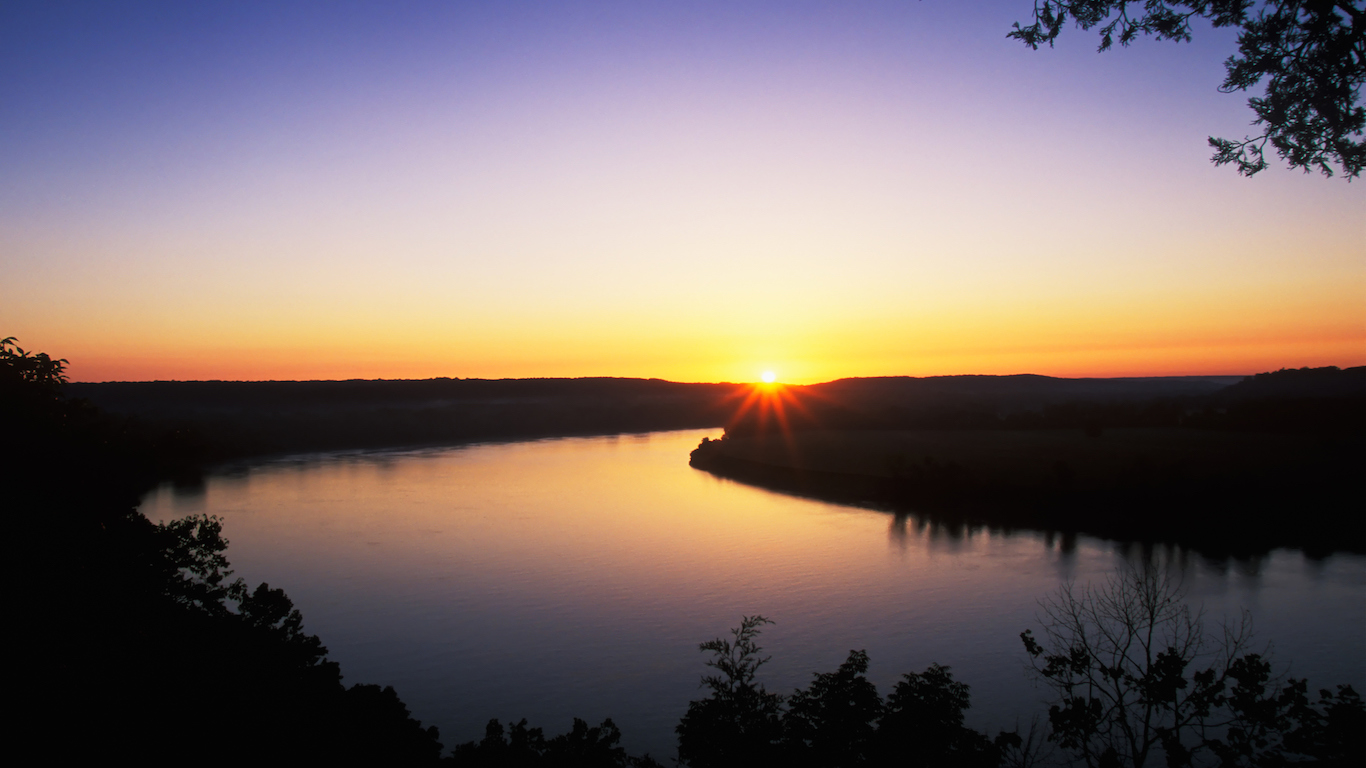
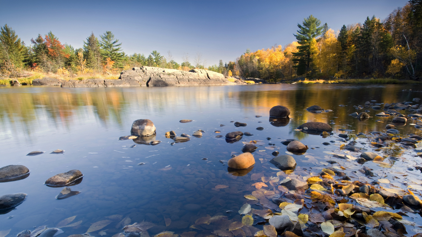
The Middle of Nowhere in Every State

Published:
Last Updated:
The image of the frontiersman blazing a trail through the wilderness is an archetype of American culture. It has been immortalized by paintings and poems depicting the rugged trailblazer seeking solitude and space from the expanding civilization of small towns, some of which were found before the American Revolution.
The romanticized ideal of the untamed wilderness emboldened thousands of Europeans to go west until the western frontier closed at the end of the 19th century.
With every inch mapped and cataloged, and with ongoing population growth, it’s harder nowadays to traverse unspoiled terrain in the United States. Today over 80% of the world’s population lives within one hour of a city. In the richest countries in the world, like the United States, the percentage is more than 90%.
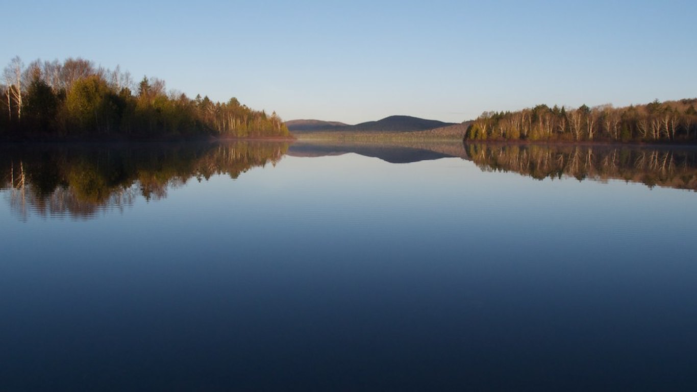
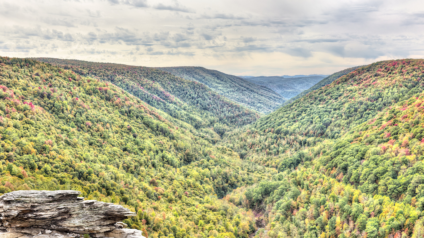
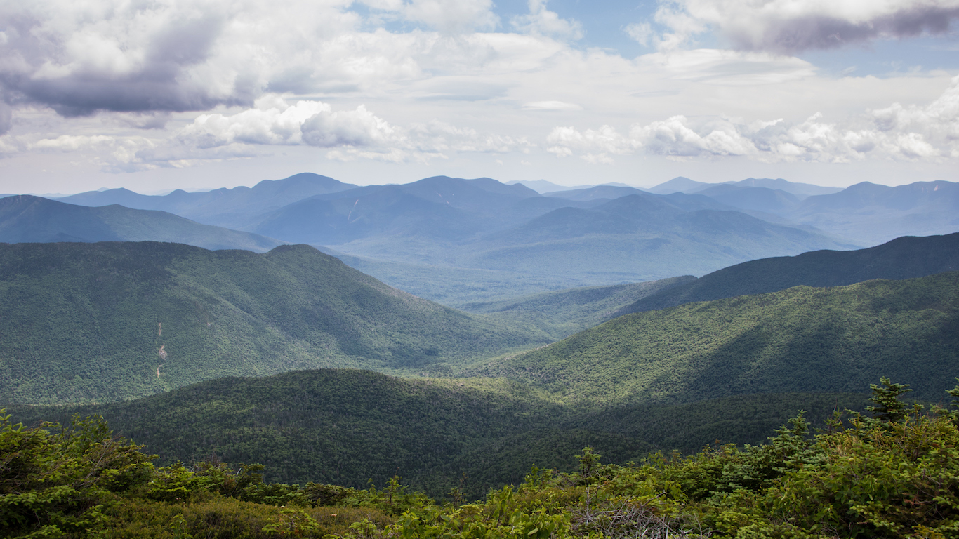
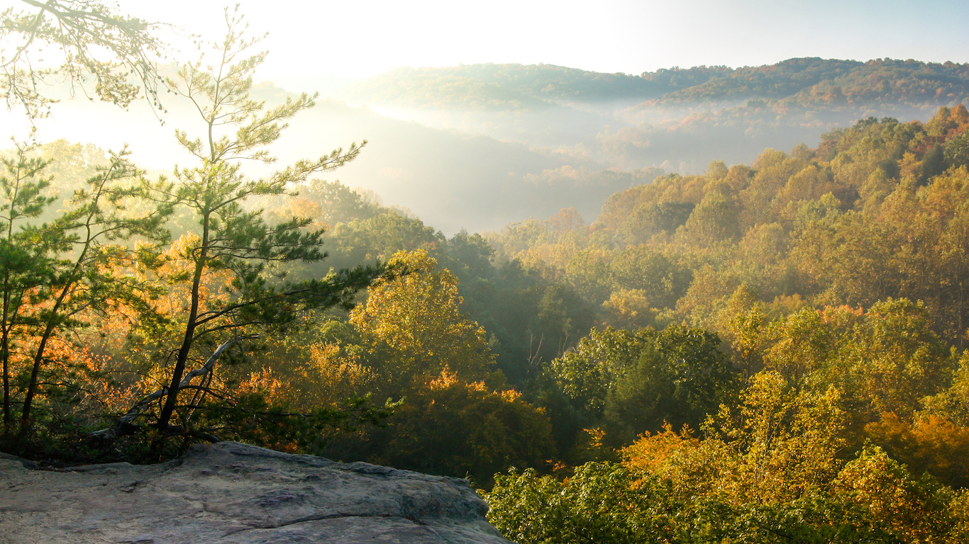
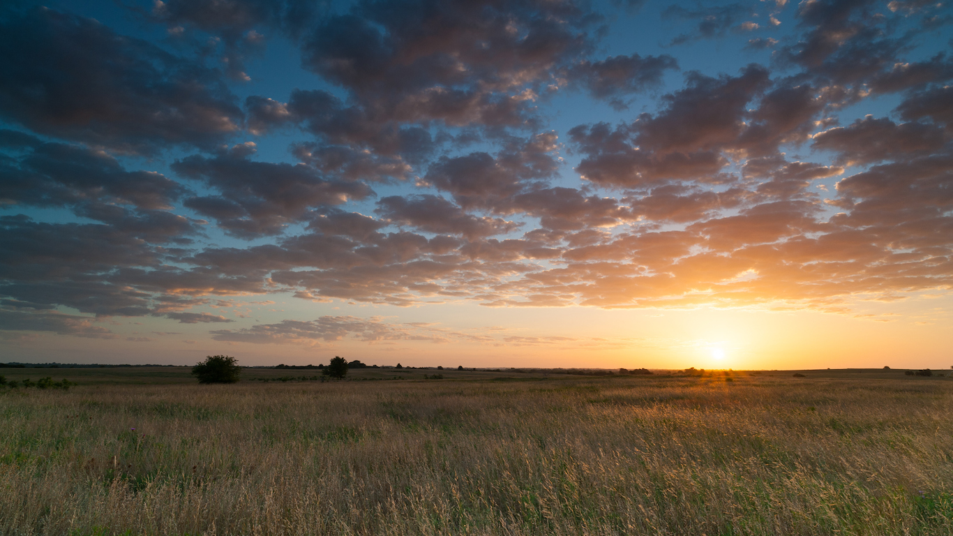
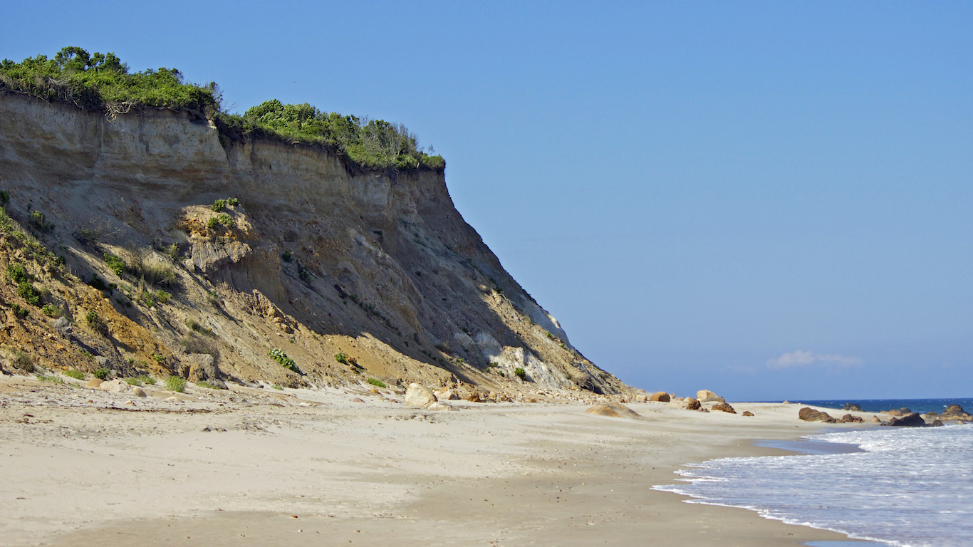
While living near urban centers tends to bring area residents social and economic benefits, the adventurous among us may be pleased to learn there are still some corners of our country that remain extremely remote — places referred to fondly (or not) as the middle of nowhere.
24/7 Wall St. identified the location in each state with the longest estimated travel time to the nearest city using data published January. 10, 2018 in Nature. Travel times take into account all forms of travel, as well as the quality of transportation infrastructure.
The middle of nowhere is harder to find in the Eastern United States, the oldest-settled part of the country. Three of the smallest states — Connecticut, New Jersey, and Rhode Island — have the shortest travel time from their most remote area to the nearest city. Connecticut’s travel time — measured by foot, boat, car, or plane — is the shortest, 52 minutes.
Click here to see the middle of nowhere in every state.
Click here to see our detailed findings and methodology.
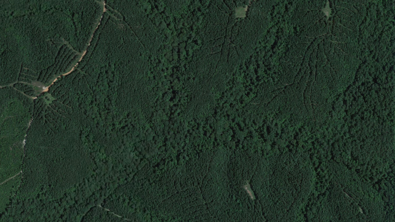
1. Alabama
> Middle of nowhere: Terminus of Carmichael Creek
> Distance from nearest city: 2 hours, 48 minutes
> GPS coordinates: 32°06’15″N, 88°23’45″W
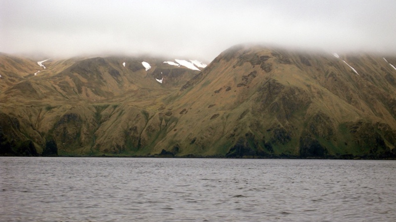
2. Alaska
> Middle of nowhere: Amatignak Island, Aleutian Islands
> Distance from nearest city: 84 hours, 37 minutes
> GPS coordinates: 51°13’15″N, 179°07’15″W
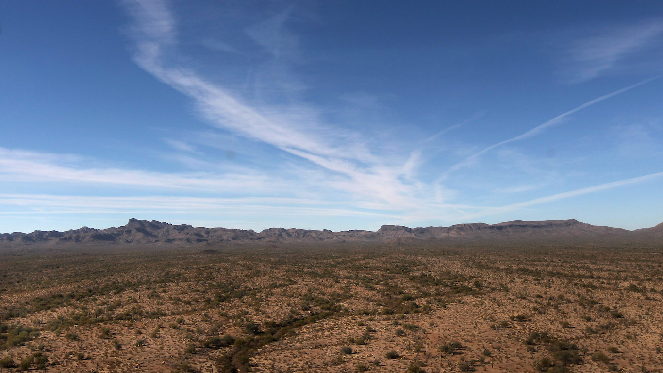
3. Arizona
> Middle of nowhere: Navajo Nation, near Utah border
> Distance from nearest city: 11 hours, 32 minutes
> GPS coordinates: 36°59’15″N, 111°04’45″W
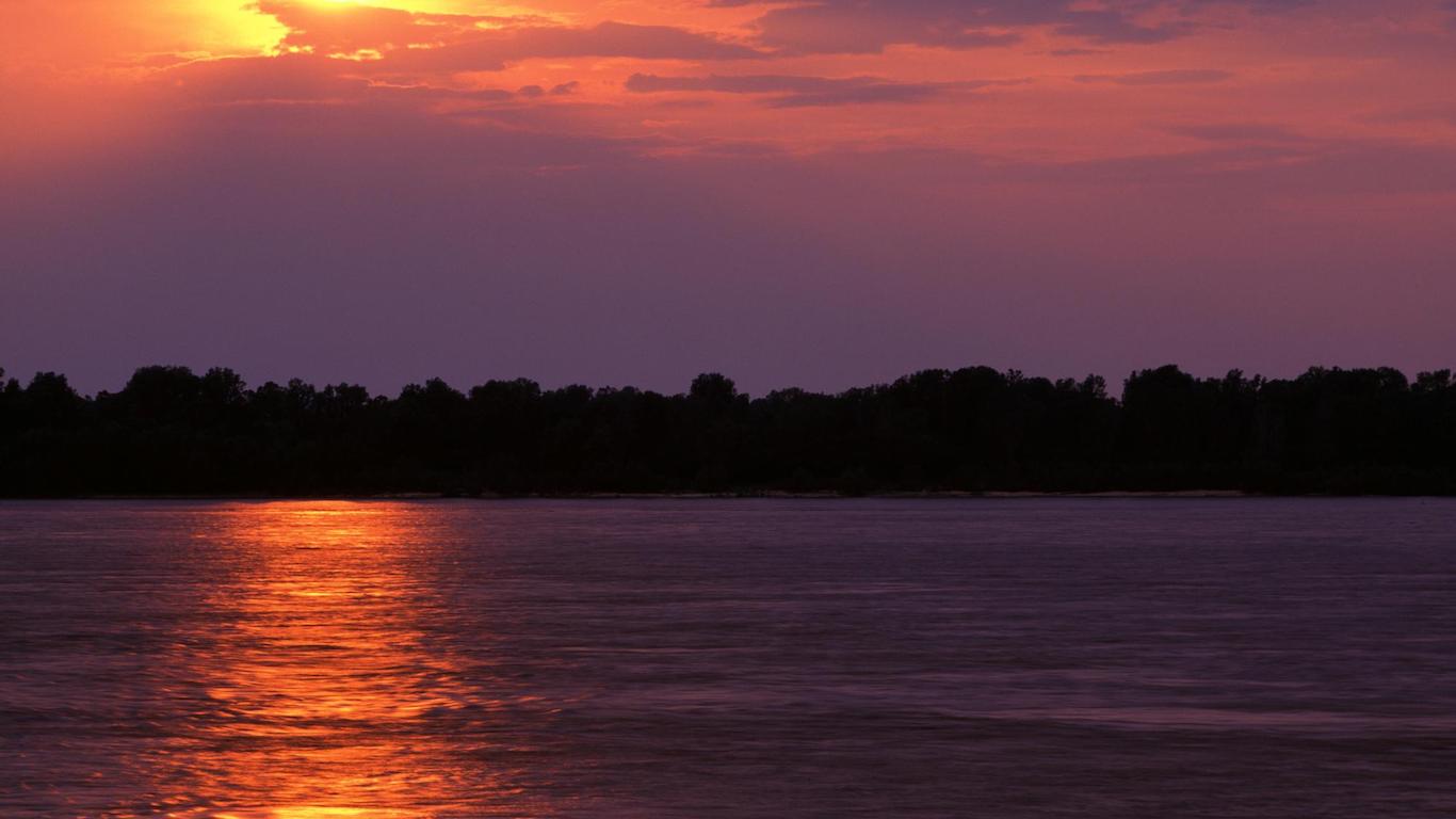
4. Arkansas
> Middle of nowhere: Southeast corner of state
> Distance from nearest city: 3 hours, 29 minutes
> GPS coordinates: 33°02’15″N, 91°08’45″W
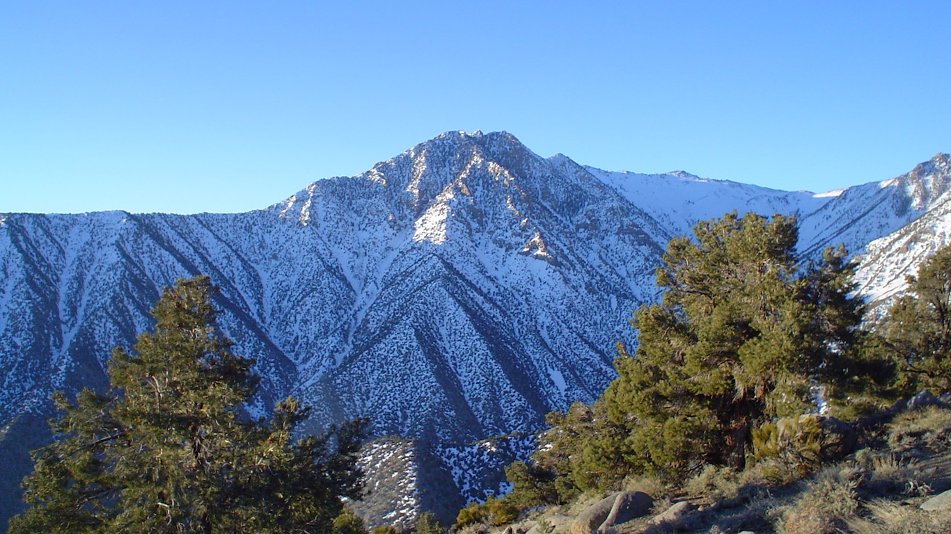
5. California
> Middle of nowhere: 1.5 miles northeast of Keynot Peak
> Distance from nearest city: 10 hours, 42 minutes
> GPS coordinates: 36°43’45″N, 117°56’45″W
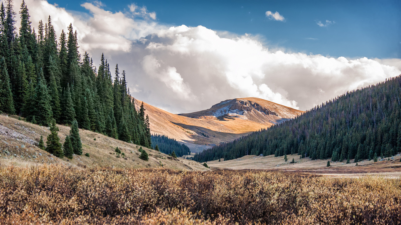
6. Colorado
> Middle of nowhere: Willow Creek, San Juan National Forest
> Distance from nearest city: 9 hours, 56 minutes
> GPS coordinates: 37°31’45″N, 107°24’45″W
7. Connecticut
> Middle of nowhere: Between McDuffee and Burton brooks
> Distance from nearest city: 0 hours, 52 minutes
> GPS coordinates: 41°59’15″N, 73°28’45″W
8. Delaware
> Middle of nowhere: Bennett Point, Assawoman Wildlife Area
> Distance from nearest city: 1 hours, 56 minutes
> GPS coordinates: 38°28’45″N, 75°04’15″W
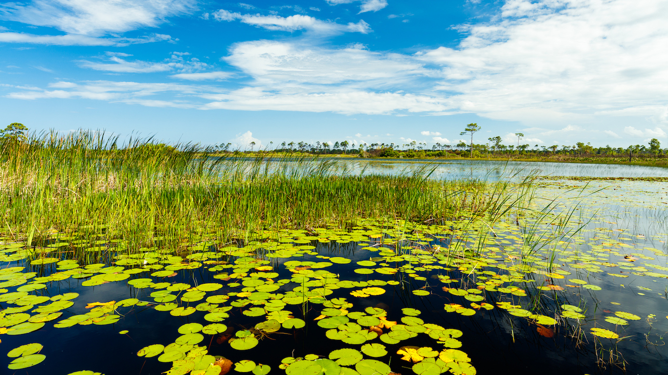
9. Florida
> Middle of nowhere: East of Miccosukee Reservation, The Everglades
> Distance from nearest city: 7 hours, 39 minutes
> GPS coordinates: 25°58’45″N, 80°42’15″W
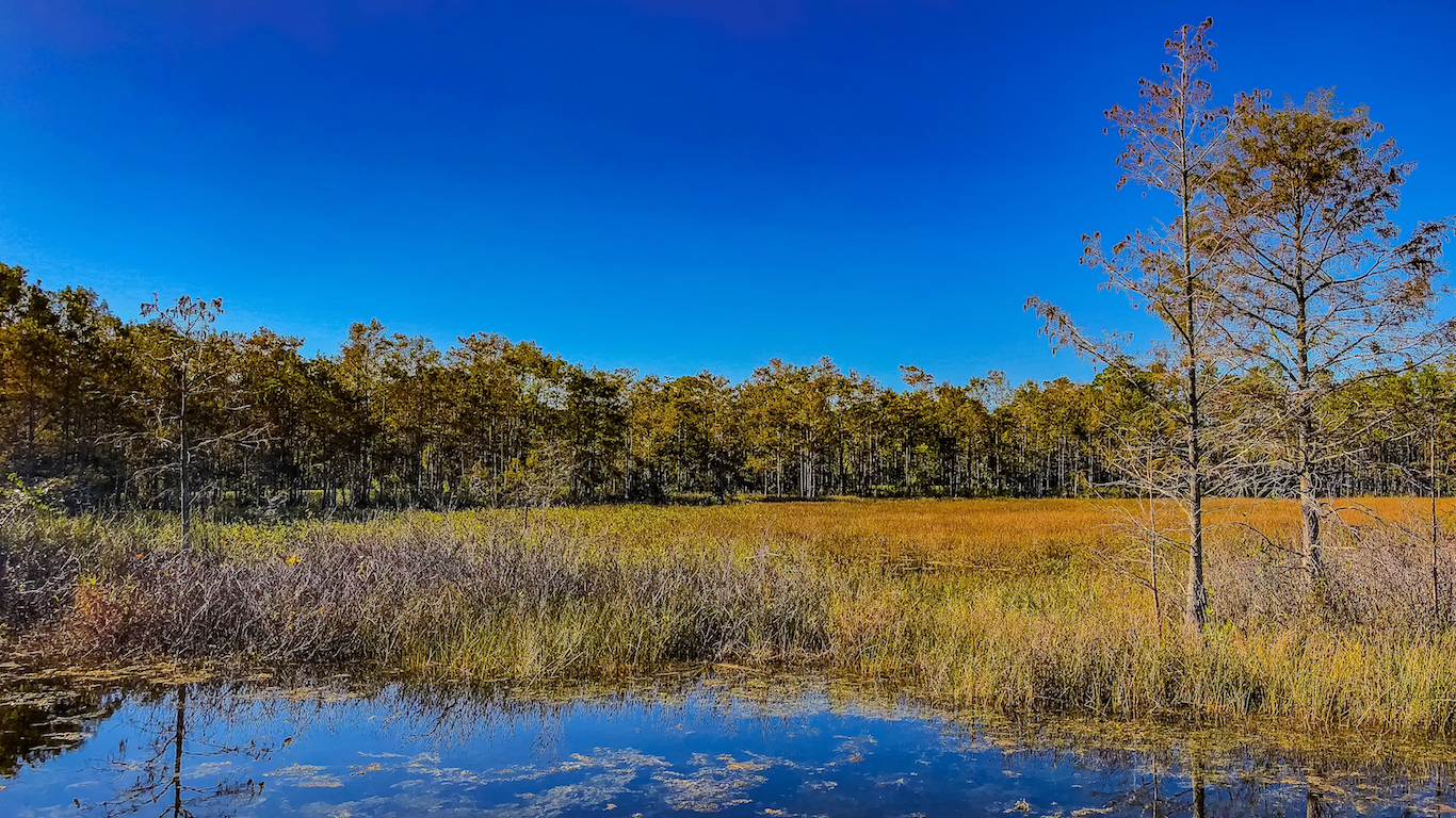
10. Georgia
> Middle of nowhere: Center of Okefenokee National Wildlife Refuge
> Distance from nearest city: 5 hours, 23 minutes
> GPS coordinates: 30°42’45″N, 82°17’45″W
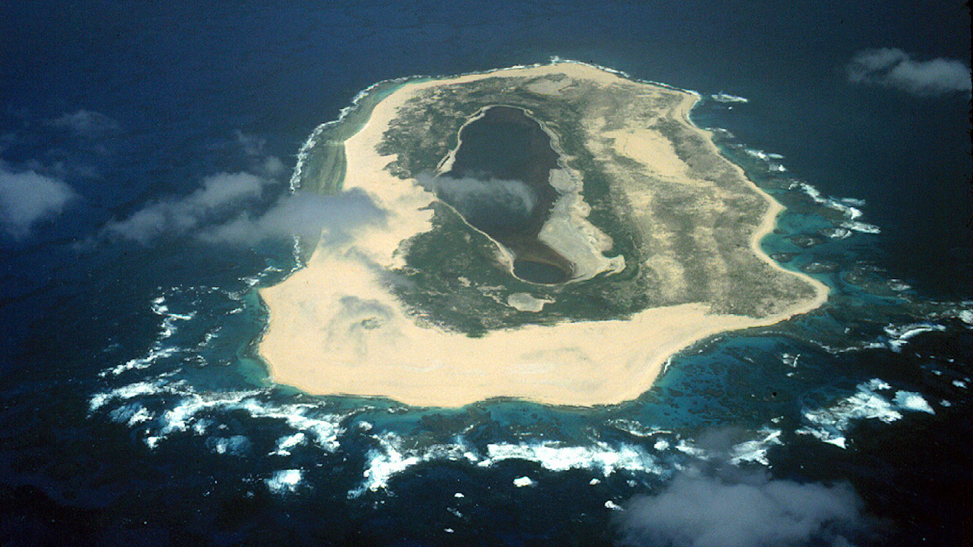
11. Hawaii
> Middle of nowhere: Laysan Island
> Distance from nearest city: 80 hours, 50 minutes
> GPS coordinates: 25°45’15″N, 171°43’45″W
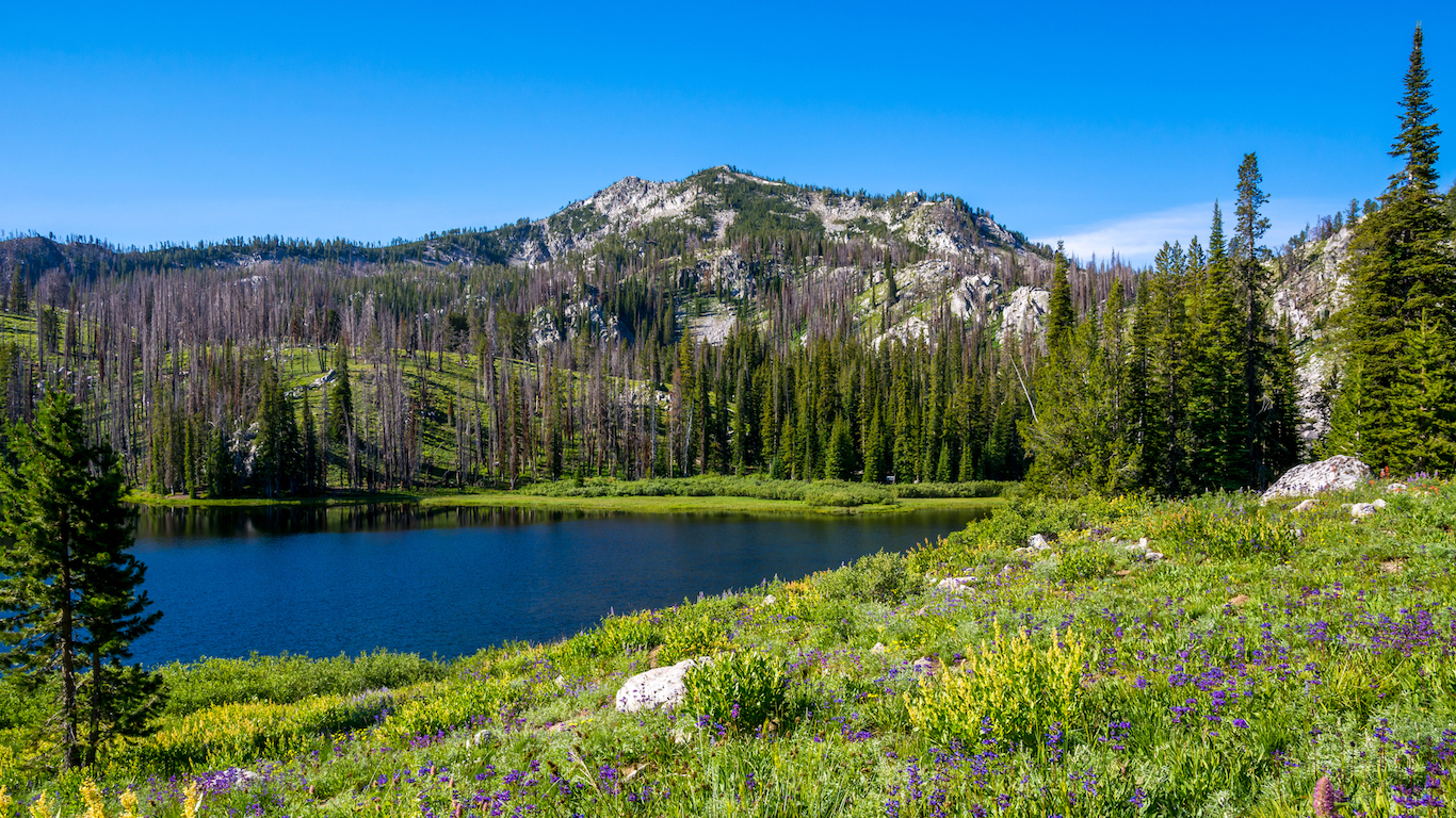
12. Idaho
> Middle of nowhere: Near Cottonwood Butte, Payette National Forest
> Distance from nearest city: 16 hours, 11 minutes
> GPS coordinates: 45°18’15″N, 114°49’15″W
13. Illinois
> Middle of nowhere: North of Mound City, on the Ohio River
> Distance from nearest city: 2 hours, 45 minutes
> GPS coordinates: 37°06’20.0″N 89°07’57.3″W
14. Indiana
> Middle of nowhere: Patoka Lake, Hoosier National Forest
> Distance from nearest city: 1 hours, 39 minutes
> GPS coordinates: 38°25’45″N, 86°40’15″W

15. Iowa
> Middle of nowhere: 3 miles west of Titonka
> Distance from nearest city: 2 hours, 43 minutes
> GPS coordinates: 43°13’15″N, 94°05’45″W
16. Kansas
> Middle of nowhere: 7 miles south of Elkader
> Distance from nearest city: 5 hours, 3 minutes
> GPS coordinates: 38°44’45″N, 100°43’45″W
17. Kentucky
> Middle of nowhere: 2 miles southwest of Route 1112
> Distance from nearest city: 2 hours, 59 minutes
> GPS coordinates: 37°41’45″N, 82°27’15″W

18. Louisiana
> Middle of nowhere: Avoca Island Cutoff
> Distance from nearest city: 6 hours, 51 minutes
> GPS coordinates: 29°29’15″N, 91°04’15″W
19. Maine
> Middle of nowhere: Shoreline of Munsungan Lake
> Distance from nearest city: 6 hours, 56 minutes
> GPS coordinates: 46°22’15″N, 68°59’15″W
20. Maryland
> Middle of nowhere: Shoreline of Smith Island
> Distance from nearest city: 2 hours, 56 minutes
> GPS coordinates: 38°01’45″N, 76°00’45″W
21. Massachusetts
> Middle of nowhere: Forked Pond Valley, Nantucket
> Distance from nearest city: 3 hours, 5 minutes
> GPS coordinates: 41°14’15″N, 70°01’15″W
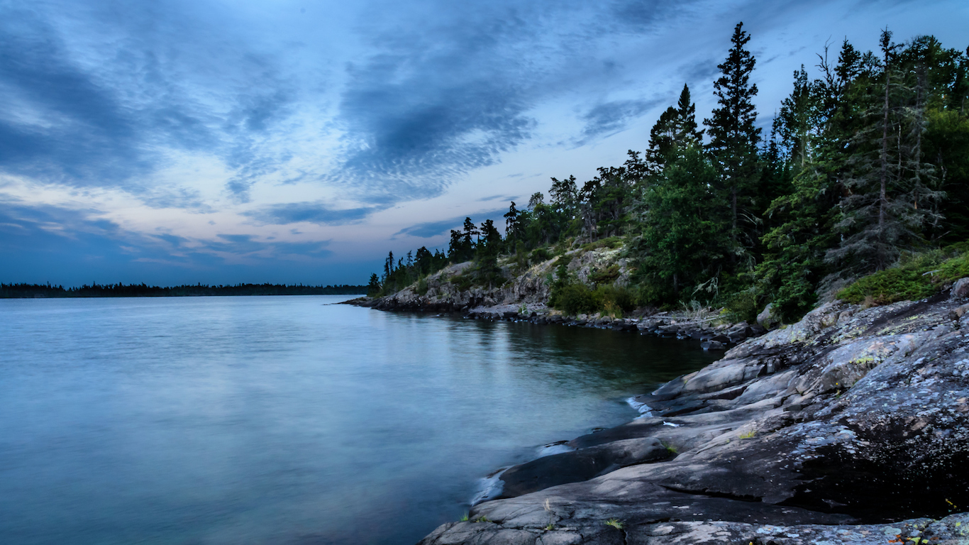
22. Michigan
> Middle of nowhere: West of Newt Lake, Isle Royale
> Distance from nearest city: 11 hours, 41 minutes
> GPS coordinates: 48°03’45″N, 88°37’15″W
23. Minnesota
> Middle of nowhere: Coleman Island, Canadian border
> Distance from nearest city: 10 hours, 40 minutes
> GPS coordinates: 48°18’45″N, 92°01’15″W
24. Mississippi
> Middle of nowhere: Panther Swamp Wildlife Refuge
> Distance from nearest city: 4 hours, 2 minutes
> GPS coordinates: 32°49’15″N, 90°33’15″W
25. Missouri
> Middle of nowhere: 3 miles South of Wilderness
> Distance from nearest city: 3 hours, 36 minutes
> GPS coordinates: 36°44’45″N, 91°10’45″W
26. Montana
> Middle of nowhere: 3.5 miles West of Gordon Mountain
> Distance from nearest city: 16 hours, 7 minutes
> GPS coordinates: 47°25’15″N, 113°15’15″W
27. Nebraska
> Middle of nowhere: West of Samuel R. McKelvie National Forest
> Distance from nearest city: 7 hours, 49 minutes
> GPS coordinates: 42°35’15″N, 101°29’15″W
28. Nevada
> Middle of nowhere: Black Rock Desert Wilderness
> Distance from nearest city: 10 hours, 21 minutes
> GPS coordinates: 41°15’45″N, 118°45’15″W
29. New Hampshire
> Middle of nowhere: 5 miles Northwest of Mount Cabot
> Distance from nearest city: 3 hours, 10 minutes
> GPS coordinates: 44°32’15″N, 71°26’45″W
30. New Jersey
> Middle of nowhere: Eastern shoreline of Egg Island Fish and Wildlife
> Distance from nearest city: 1 hours, 22 minutes
> GPS coordinates: 39°11’44.0″N 75°07’41.7″W
31. New Mexico
> Middle of nowhere: About 1 mile southwest of Milligan Mountain
> Distance from nearest city: 6 hours, 58 minutes
> GPS coordinates: 33°40’15″N, 108°39’45″W
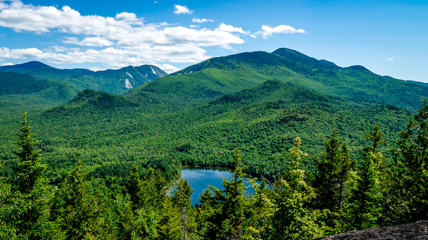
32. New York
> Middle of nowhere: Five Ponds Wilderness, Adirondack Mountains
> Distance from nearest city: 4 hours, 58 minutes
> GPS coordinates: 43°59’15″N, 74°56’15″W
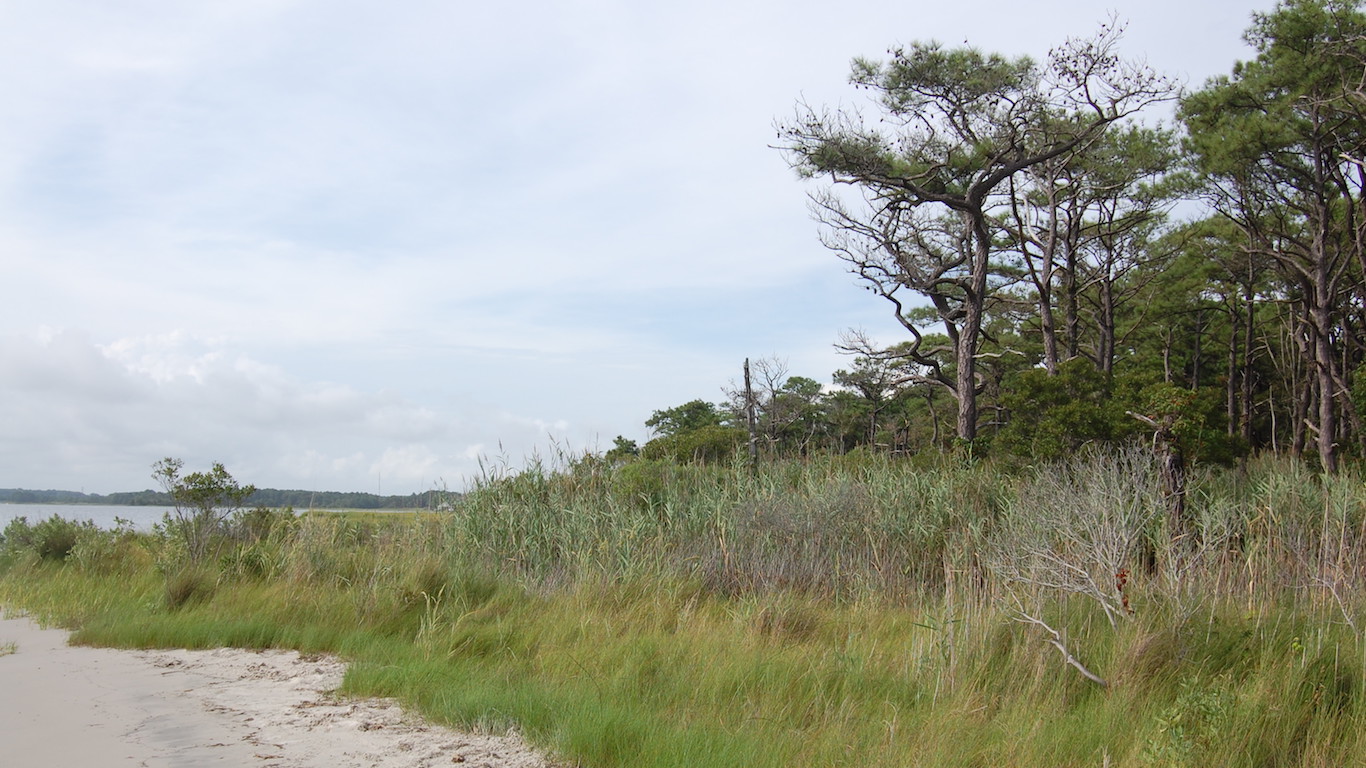
33. North Carolina
> Middle of nowhere: Ocracoke
> Distance from nearest city: 3 hours, 12 minutes
> GPS coordinates: 35°05’45″N, 75°58’15″W
34. North Dakota
> Middle of nowhere: Less than 1 mile south of Devil’s Pass
> Distance from nearest city: 6 hours, 53 minutes
> GPS coordinates: 47°17’15″N, 103°31’45″W
35. Ohio
> Middle of nowhere: North of Paddle Creek Horse Camp, Wayne National Forest
> Distance from nearest city: 2 hours, 7 minutes
> GPS coordinates: 38°38’15″N, 82°35’15″W
36. Oklahoma
> Middle of nowhere: South of Kansas-Oklahoma border, by Cimarron River
> Distance from nearest city: 3 hours, 47 minutes
> GPS coordinates: 36°59’15″N, 99°51’15″W
37. Oregon
> Middle of nowhere: About 4 miles east of Big Craggies, Rogue River-Siskiyou National Forest
> Distance from nearest city: 8 hours, 51 minutes
> GPS coordinates: 42°21’45″N, 123°58’45″W
38. Pennsylvania
> Middle of nowhere: About 1 mile south of Hailstone Hollow, Hammersley Wild Area
> Distance from nearest city: 2 hours, 47 minutes
> GPS coordinates: 41°31’45″N, 77°52’15″W
39. Rhode Island
> Middle of nowhere: Schooner Point, Block Island
> Distance from nearest city: 1 hours, 35 minutes
> GPS coordinates: 41°09’15″N, 71°36’45″W
40. South Carolina
> Middle of nowhere: Cane Island, Santee Coastal Reserve
> Distance from nearest city: 2 hours, 47 minutes
> GPS coordinates: 33°09’45″N, 79°15’45″W
41. South Dakota
> Middle of nowhere: Unnamed road, about 3 miles south of Bradley Bauer Ranch
> Distance from nearest city: 8 hours, 11 minutes
> GPS coordinates: 44°42’15″N, 102°55’15″W
42. Tennessee
> Middle of nowhere: Clark Creek terminus, Rocky Fork State Park
> Distance from nearest city: 3 hours, 8 minutes
> GPS coordinates: 36°05’15″N, 82°35’15″W
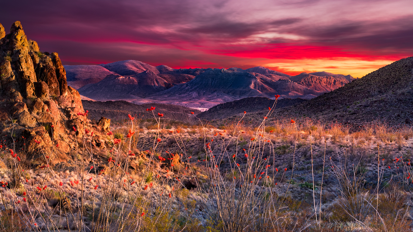
43. Texas
> Middle of nowhere: Southeastern-most edge of Big Bend National Park, on border of U.S. and Mexico
> Distance from nearest city: 8 hours, 1 minutes
> GPS coordinates: 28°59’05.1″N 103°07’01.5″W
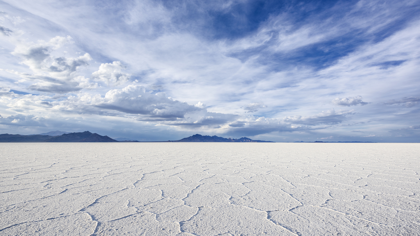
44. Utah
> Middle of nowhere: Great Salt Lake Desert, Northwest Utah
> Distance from nearest city: 12 hours, 41 minutes
> GPS coordinates: 40°23’15″N, 113°35’45″W
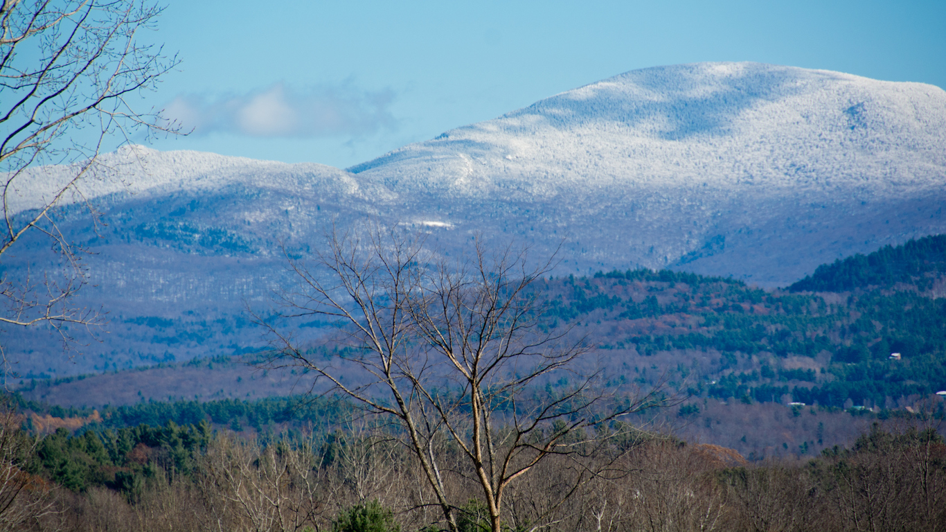
45. Vermont
> Middle of nowhere: Hunger Mountain, CC Putnam State Forest
> Distance from nearest city: 3 hours, 29 minutes
> GPS coordinates: 44°26’15″N, 72°36’15″W
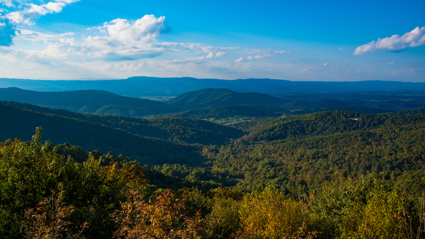
46. Virginia
> Middle of nowhere: Red Creek terminus
> Distance from nearest city: 2 hours, 58 minutes
> GPS coordinates: 36°55’45″N, 81°53’15″W
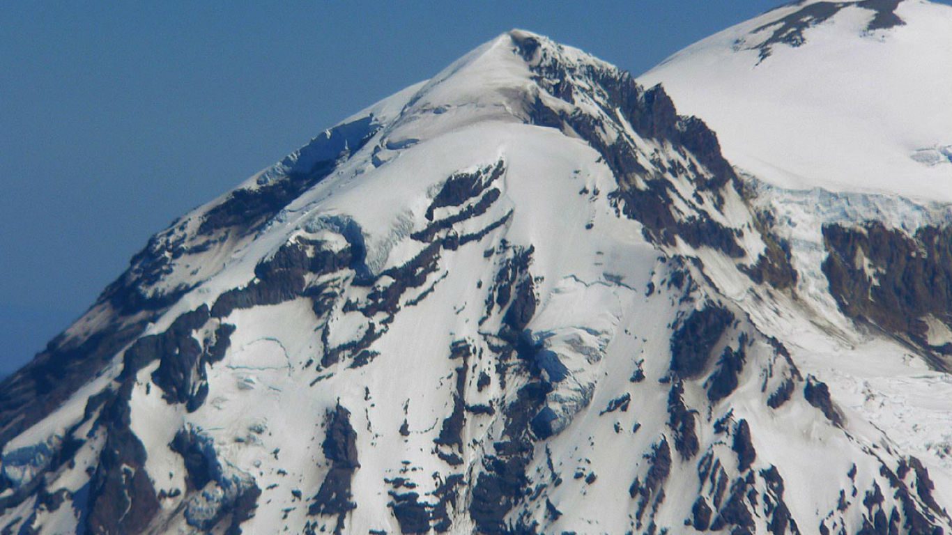
47. Washington
> Middle of nowhere: Liberty Cap, Mt Rainier National Park
> Distance from nearest city: 15 hours, 52 minutes
> GPS coordinates: 46°52’15″N, 121°46’15″W
48. West Virginia
> Middle of nowhere: ½ mile south of of East Fork and Mc Cloud
> Distance from nearest city: 3 hours, 10 minutes
> GPS coordinates: 37°56’15″N, 82°12’15″W
49. Wisconsin
> Middle of nowhere: Outer Island, Lake Superior
> Distance from nearest city: 7 hours, 36 minutes
> GPS coordinates: 47°03’15″N, 90°25’15″W
50. Wyoming
> Middle of nowhere: Hardluck Mountain, Shoshone National Forest
> Distance from nearest city: 14 hours, 44 minutes
> GPS coordinates: 43°59’45″N, 109°40’15″W
Detailed Findings & Methodology
Because of technological advances such as global position systems and multi-dimensional maps, remote areas are getting more difficult to find in the United States.
The middle of nowhere is harder to find in the Eastern United States, the oldest-settled part of the country. Three of the smallest states — Connecticut, New Jersey, and Rhode Island — have the shortest travel time from their most remote area to the nearest city. Connecticut’s travel time — measured by foot, boat, car, or plane — is the shortest, 52 minutes.
The last two states admitted to the Union — Alaska and Hawaii — have the longest travel time of any state in the country. The distance from Alaska’s Amatignak Island in the Aleutian Islands to the nearest city is more than 84 hours. Laysan in Hawaii is more than 80 hours from the closest city.
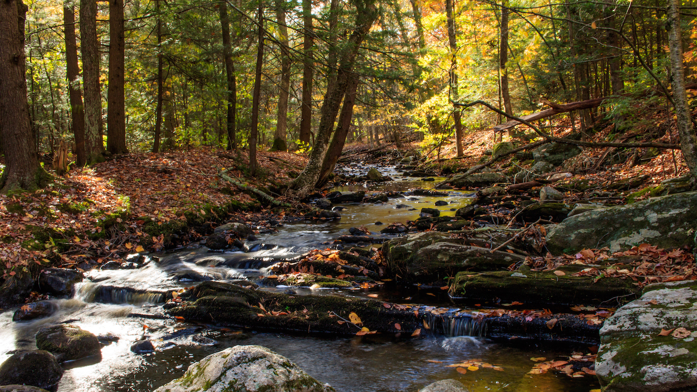
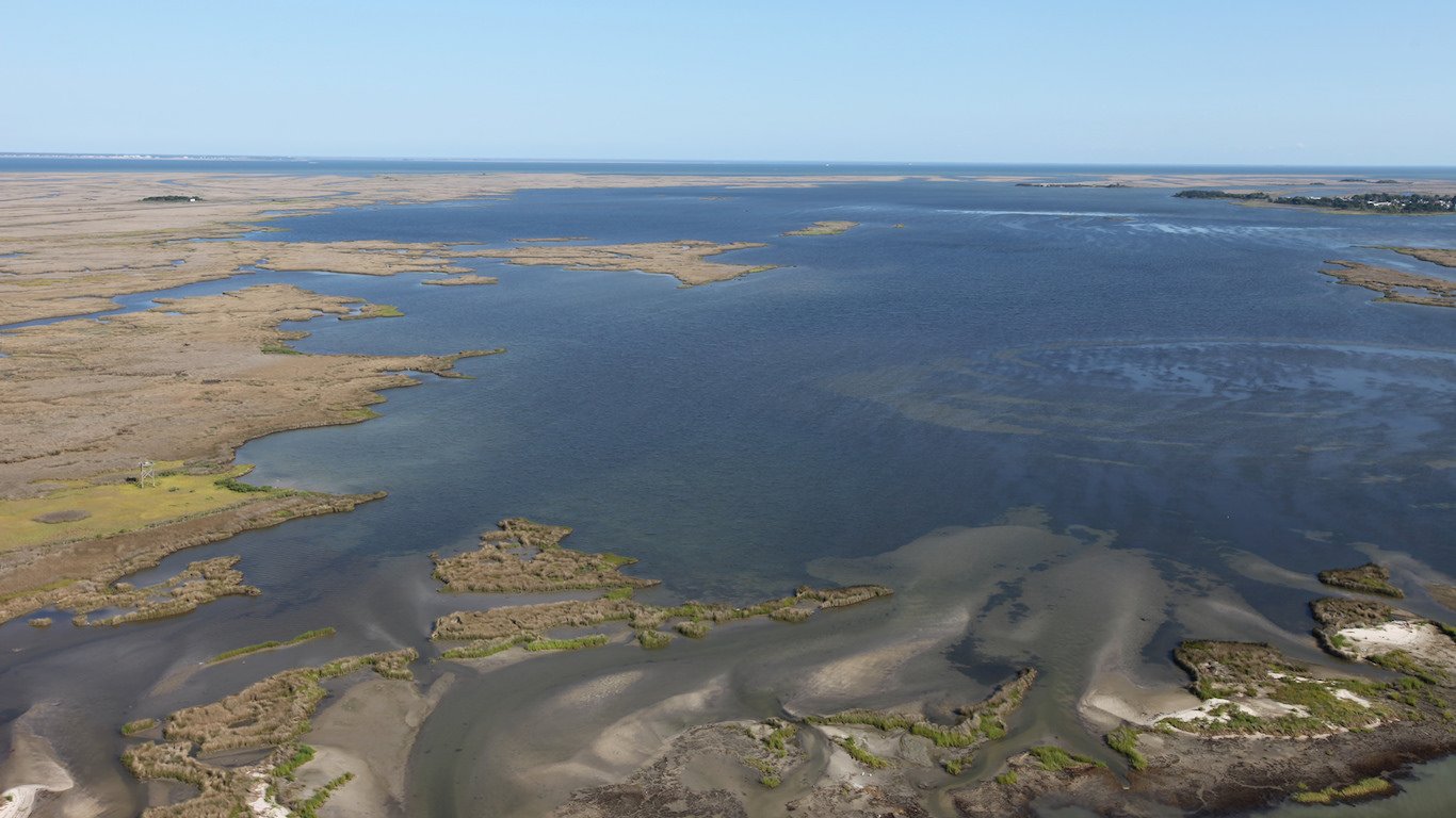
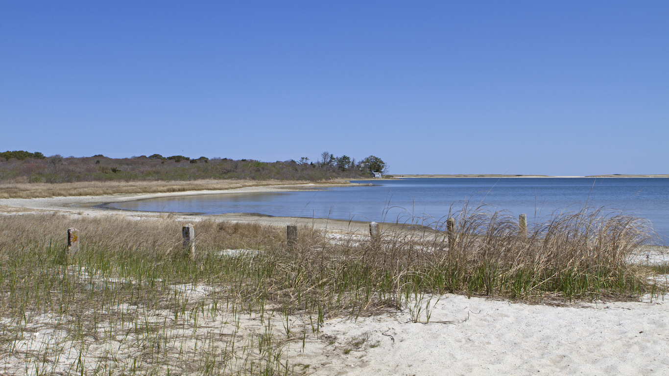
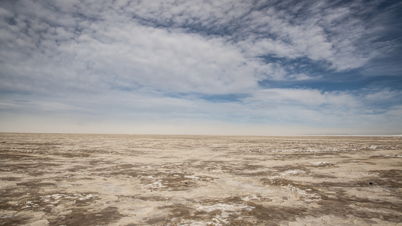
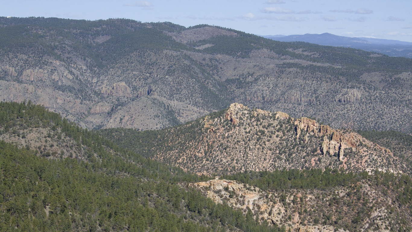
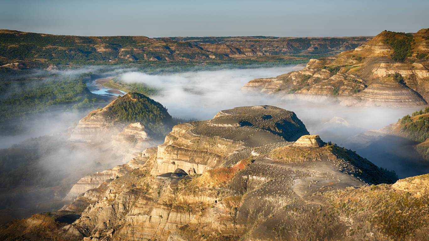
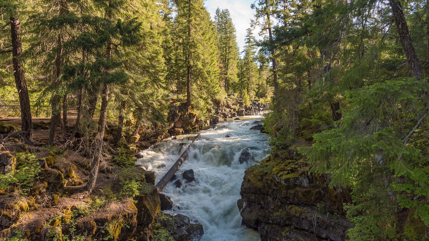
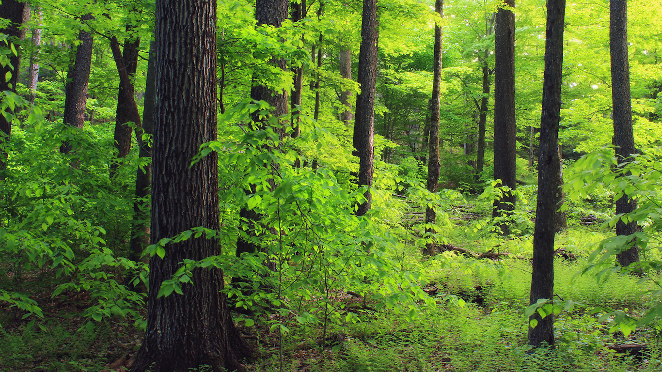
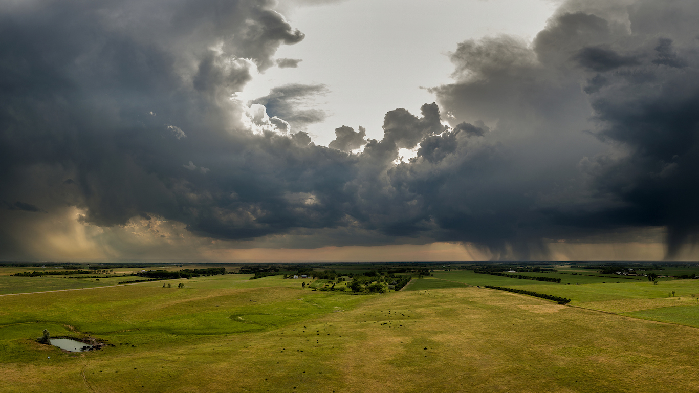
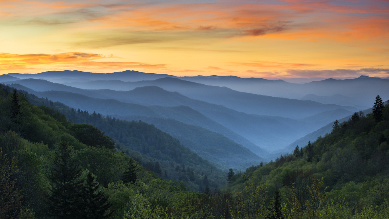
Many of the areas on this list are in mountainous or desert regions, whose terrain is traversed on foot and where there are few roads. These regions create challenges for adventurous hikers, but they cannot sustain human habitation.
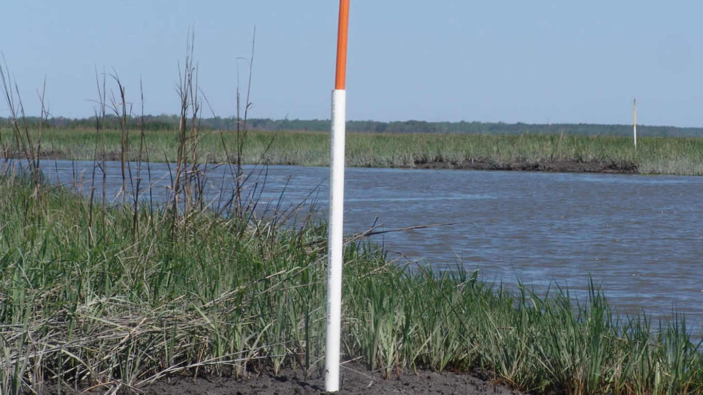
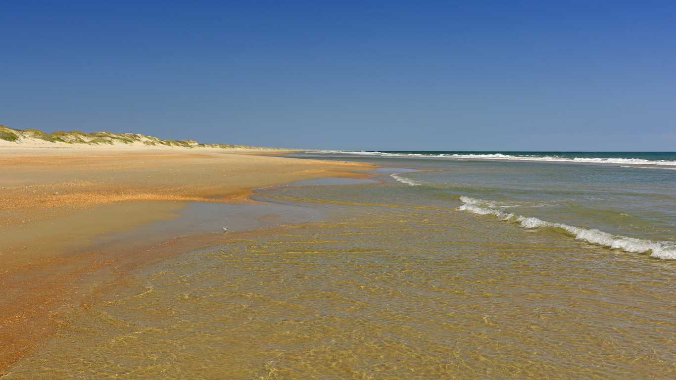
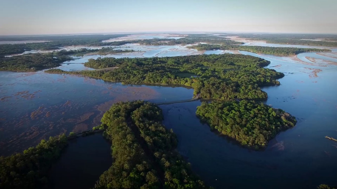
Other remote areas in the United States are in forests, wildlife preserves, swamps, shorelines, and wetlands. Most of these areas remain unspoiled because of government land-use dictates, and therefore will likely stay remote.
To identify the middle of nowhere in every state, 24/7 Wall St. reviewed the predicted travel time in minutes to the nearest city from millions of locations across the United States. The data were obtained from “A Global Map of Travel Time to Cities to Assess Inequalities in Accessibility in 2015”, published January 10, 2018 in the International Journal of Science Nature. Researchers used a geospatial model that estimated travel times from points around the world to urban centers, taking into account various modes of transportation, terrain, the quality of transportation infrastructure, and other factors affecting human movement rates.
The thought of burdening your family with a financial disaster is most Americans’ nightmare. However, recent studies show that over 100 million Americans still don’t have proper life insurance in the event they pass away.
Life insurance can bring peace of mind – ensuring your loved ones are safeguarded against unforeseen expenses and debts. With premiums often lower than expected and a variety of plans tailored to different life stages and health conditions, securing a policy is more accessible than ever.
A quick, no-obligation quote can provide valuable insight into what’s available and what might best suit your family’s needs. Life insurance is a simple step you can take today to help secure peace of mind for your loved ones tomorrow.
Click here to learn how to get a quote in just a few minutes.
Thank you for reading! Have some feedback for us?
Contact the 24/7 Wall St. editorial team.


Our expert who first called NVIDIA in 2009 is predicting 2025 will see a historic AI breakthrough.
You can follow him investing $500,000 of his own money on our top AI stocks for free.
 24/7 Wall St.
 24/7 Wall St.
 24/7 Wall St.
 24/7 Wall St.
 24/7 Wall St.
 24/7 Wall St.