Special Report
20 Places Hit Hardest by This Spring's Record Flooding
Published:
Last Updated:

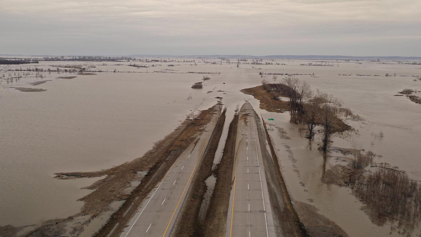
It’s been a wet spring, and the National Oceanic and Atmospheric Administration predicts it’s going to get even wetter. According to NOAA’s U.S. Spring Outlook issued last month, nearly two-thirds of the lower 48 U.S. states face a greater risk for flooding through May, with the potential for major or moderate flooding in 25 states.
Sections of the nation such as the upper Mississippi and Missouri River basins that include Nebraska, Minnesota and Iowa have already been whipsawed by floods and are bracing for more flood waters, some of which may be among the worst flooding ever in those areas. Floods have been among the worst tragedies and natural disasters in our nation’s history.
The factors behind the flooding are rapid snow melt combined with heavy spring rain and late season snowfall in areas where soil moisture is high.
The Upper Mississippi Valley, the Plains of the Missouri River Basin, Red River of the North, and the Great Lakes basins have had higher than normal snowpack, and ice jams are making the flooding worse. Communities and farms in the Missouri River basin have sought state and federal funds to deal with the onslaught of water.
NOAA said in its report that excess water may extend flooding to other areas that have not experienced it, such as the mid-section of the United States.
To determine what areas may be subject to major flooding events this spring, 24/7 Wall St. reviewed the National Oceanic and Atmospheric Administration’s 2019 National Hydrologic Assessment, released on March 21, 2019.
Click here to see 20 places hit hardest by this spring’s record flooding
1. Lower Big Sioux River
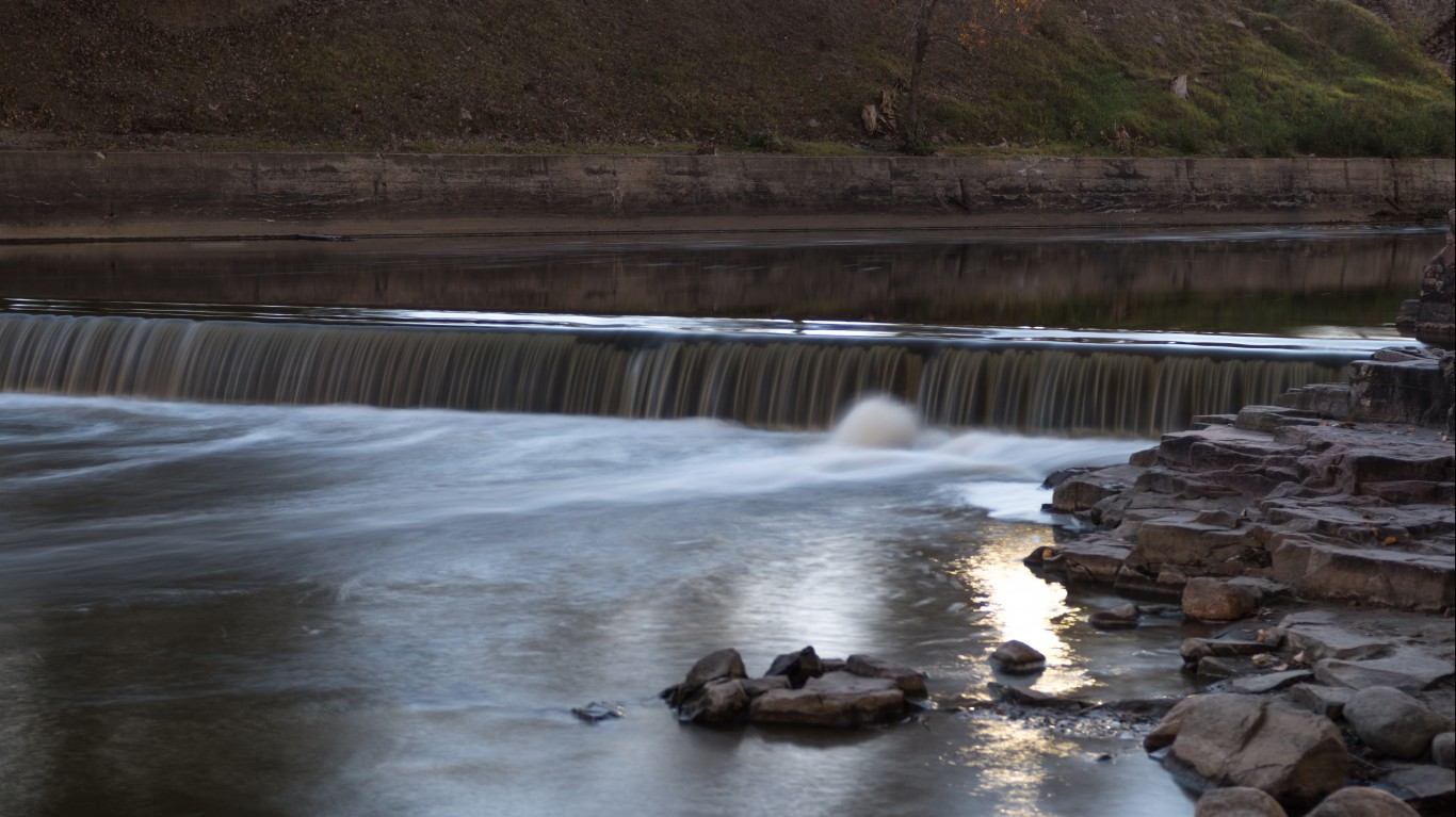
NOAA predicted major flooding will continue this spring in the lower Big Sioux River in eastern South Dakota. Major flooding, one of four categories considered by the National Weather Service, is defined as extensive inundation of structures and roads. Significant evacuation of people and property to higher elevations occurs with major flooding. Lower Big Sioux River is one of four major watersheds in the Missouri River Basin — along with the Upper Big Sioux River, Rock River, and Little Sioux River.
[in-text-ad]
2. Vermillion River
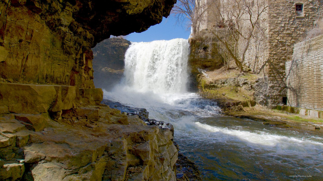
NOAA forecast major flooding will continue this spring in the Vermillion River area. Part of the Missouri River Basin, this 59.6-mile waterway snakes through Scott County and Dakota County in Minnesota and enters the Mississippi River floodplain south of the town of Hastings.
3. Lewis and Clark Lake River
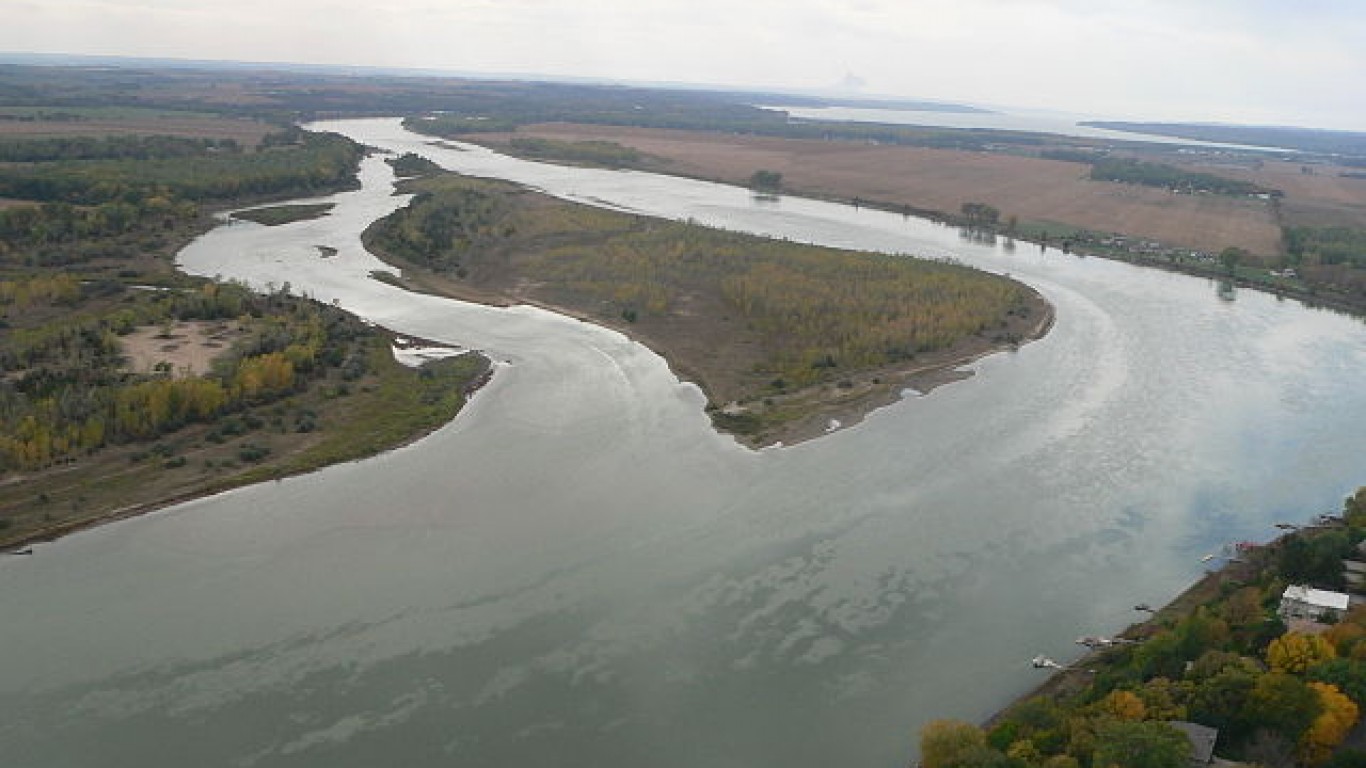
The Gavins Point Dam, about four miles west of Yankton, South Dakota, increased water releases in March to leave room for Lewis and Clark Lake to accommodate runoff from heavy rainfall and snowmelt upstream.
4. Lower James River
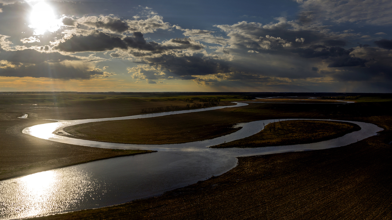
NOAA has forecast major flooding to continue this spring in the Lower James River in eastern South Dakota. The river is part of the Missouri Basin, which NOAA says has higher-than-normal flood risk this year. Among the conditions leading to flooding are above-normal snowpack across the Plains, saturated soil, and deeply frozen soil. Ice jam flooding has already been reported at many locations in the region this winter.
[in-text-ad-2]
5. Floyd River
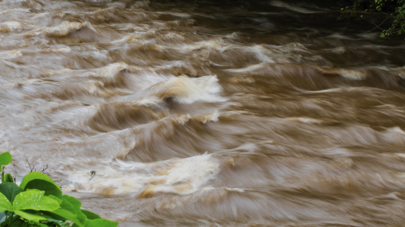
The Floyd River in Iowa is another area in the Missouri River Basin where major flooding is expected this spring. Flooding from the Floyd River inundated communities in 1892, 1926, and 1953. The river is a tributary of the Missouri River, flowing 112 miles in northwestern Iowa. It enters the Missouri at Sioux City. The waterway is named after Charles Floyd, a member of the Lewis and Clark Expedition.
6. Ocheyedan River
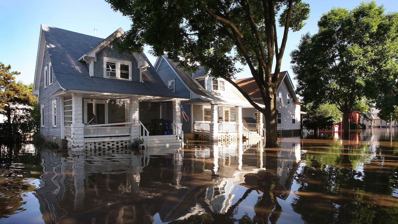
Major flooding is expected this spring on the Ocheyedan River in Iowa. The river is a tributary of the Little Sioux River, and flows 58 miles. Northwest Iowa communities such as Cherokee, Spencer, Rock Rapids, Akron, Hawarden, and Linn Grove were under flood warnings in mid-April from the National Weather Service.
[in-text-ad]
7. Little Sioux River
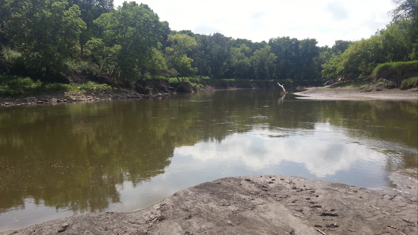
NOAA predicted major flooding along much of the Little Sioux River in Iowa this spring. Last month, the National Weather Service reported record river heights for seven areas in northwest Iowa, and parts of southeast South Dakota. In the town of Cherokee, the Little Sioux River rose to a record 28.4 feet, or more than 11 feet above flood stage. Iowa Gov. Kim Reynolds issued a disaster proclamation on March 14 for 15 counties, bringing the total counties eligible for emergency relief to 21.
8. Big Sioux River
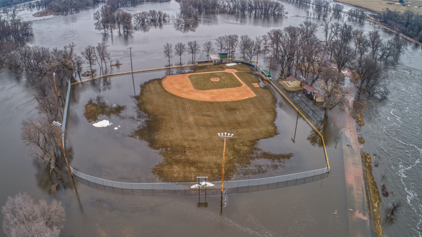
Major flooding was also forecast for the Big Sioux River, a 419-mile long tributary of the Missouri River, in eastern South Dakota and northwestern Iowa. Last month, Sioux City emergency-response officials who had been concerned Big Sioux waters would approach historic levels were more optimistic that flooding would not be as catastrophic as the flood 50 years ago, when the town of North Sioux City was evacuated.
9. Wood River
In Nebraska, major flooding is expected from the Wood River this spring. In mid-March, the Wood River surged above flood stage in the city of Wood River before receding. Hall County and the city of Wood River planned to seek money from the governor’s emergency fund to recover from damage done by last week’s blizzard and the flooding which followed.
[in-text-ad-2]
10. Shell Creek on the lower Platte
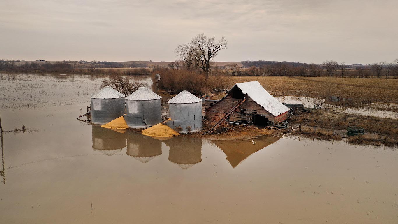
Major flooding is forecast this spring at Shell Creek on the lower Platte River. In Nebraska earlier this spring, a gap in a levee along Shell Creek prompted the National Weather Service to issue a flash flood warning for the towns of Schuyler and Rogers. A recent spring flood outlook report by the National Weather Service listed Shell Creek and Logan Creek at “much-above-normal” risk for flooding.
11. North Fork Elkhorn River
Like other areas of the Missouri River Basin, major flooding events are expected along the North Fork Elkhorn River in Nebraska this spring. Last month, the National Weather Service office in Omaha, Nebraska issued a flood warning for the North Fork of the Elkhorn River. The Elkhorn and Loup rivers are the main tributaries of the Platte River.
[in-text-ad]
12. Logan Creek of the lower Elkhorn River
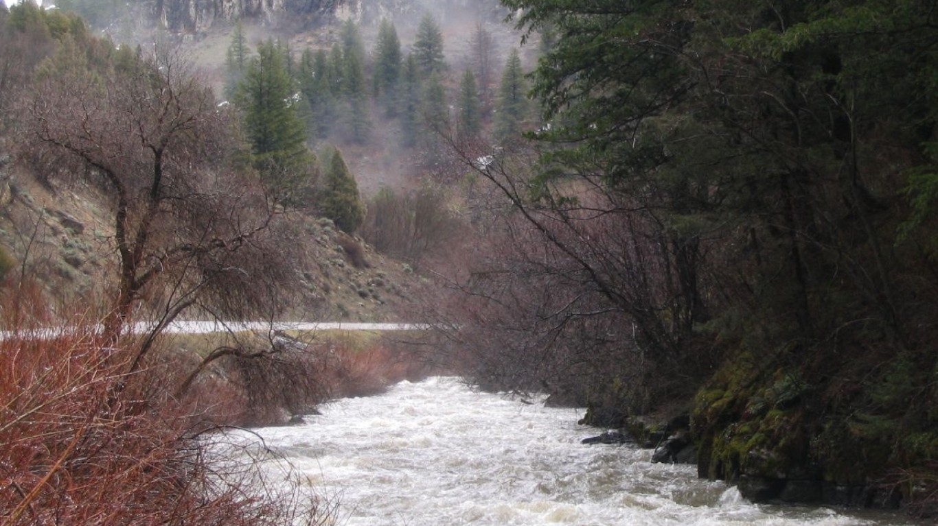
Logan Creek of the lower Elkhorn River is another portion of the Platte River, and NOAA is predicting major flooding events there this spring. The Northern Plains states have an above normal snowpack, and the flood risk is expected to stay relatively high for the region this spring. A recent spring flood outlook report by the National Weather Service listed Shell Creek and Logan Creek at “much-above-normal” risk for flooding.
13. Lower Niobrara River
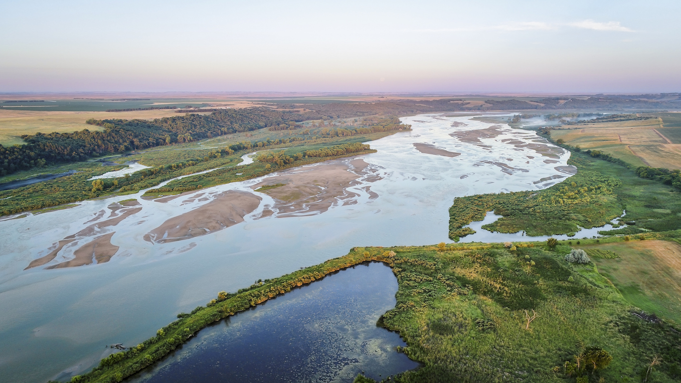
Lower Niobrara River, also located in Nebraska, is forecast to have major flooding this spring, according to NOAA. The village of Niobrara is the headquarters of the Ponca Tribe of Nebraska. Niobrara is a Native American word meaning “running water.” It is a tributary of the Missouri River and flows for about 568 miles through Wyoming and Nebraska. In March, floodwaters from the river tore through a dam and unleashed water and chunks of ice onto fields.
14. Portions of the Middle Platte
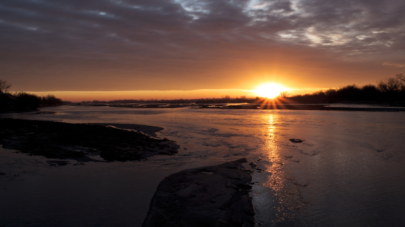
Portions of the Middle Platte River in Nebraska are forecast to have major flooding this spring. The northern Plains state experienced above average snowpack this year, which has elevated flood risk in the region throughout the spring. Complicating things in the region, the soil was still frozen and unable to absorb water from rain or runoff.
[in-text-ad-2]
15. Nishnabotna River basins
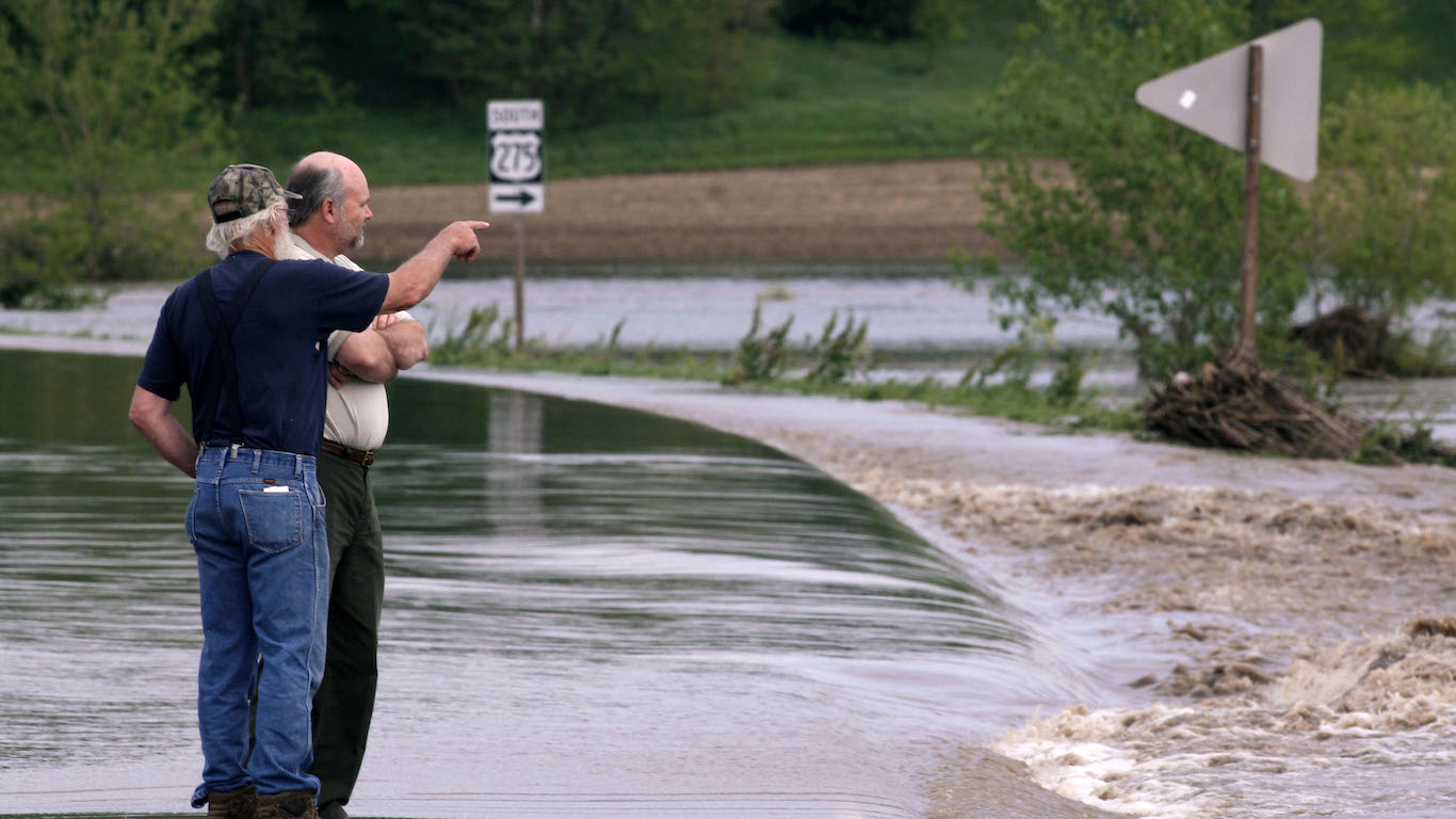
Major flooding this spring is expected for the Nishnabotna River basins in Nebraska. The area experienced flood episodes in 1972, 1982 and 1987. And with above-normal snowpack this year in the northern Plains states, flood risk is elevated in 2019. There are East and West Nishnabotna rivers that each flow 120 miles.
16. Tarkio
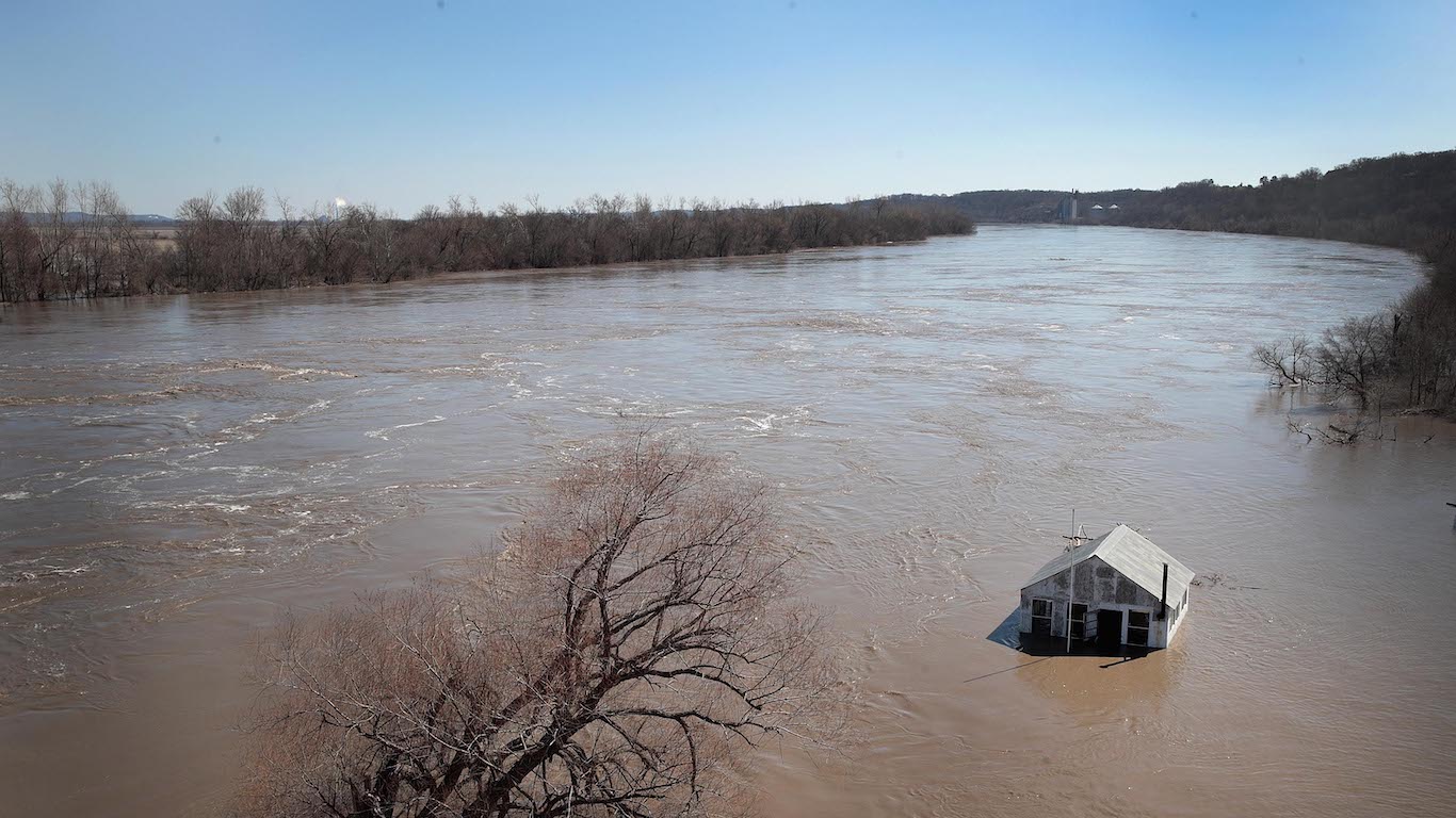
In Missouri, NOAA said major flooding is likely in the Tarkio River basin. Tarkio is a non-navigable waterway that flows for about 140 miles from Iowa to the Missouri River in Missouri.
Missouri Farm Bureau President Blake Hurst told online news site Missourinet that flooding in Missouri in March would have a more adverse effect on farmers in northwest Missouri than the flood in 2011.
[in-text-ad]
17. Nishnabotna
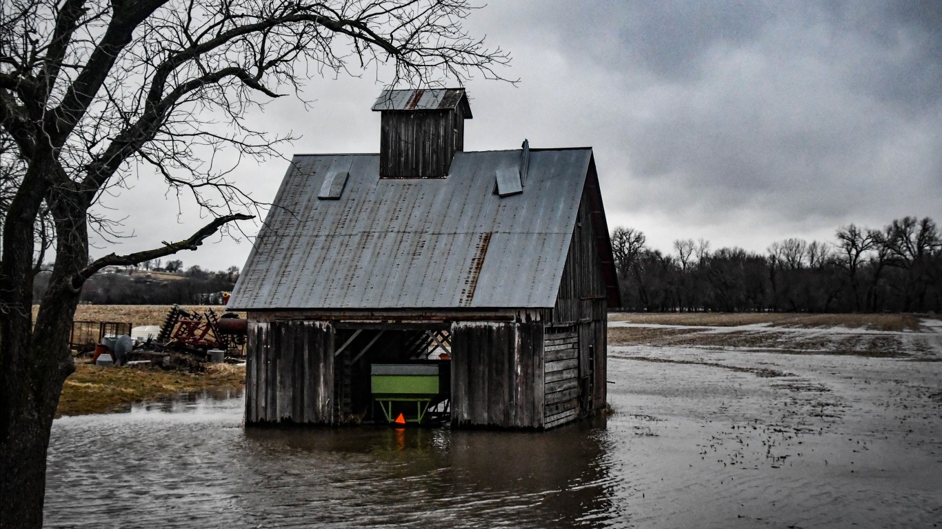
The Nishnabotna River basin in Missouri is forecast to have major flooding this spring. The name “Nishnabotna” comes from an Otoe word meaning “canoe-making river.”
18. Nodaway River basin
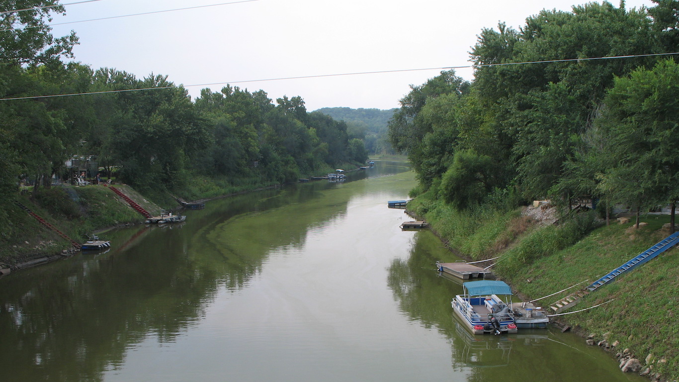
Nodaway River basin in Missouri is forecast to experience major flooding this spring. The name comes from the Otoe-Missouria word meaning “jump over water.”
19. Platte River to the confluence of the Missouri River
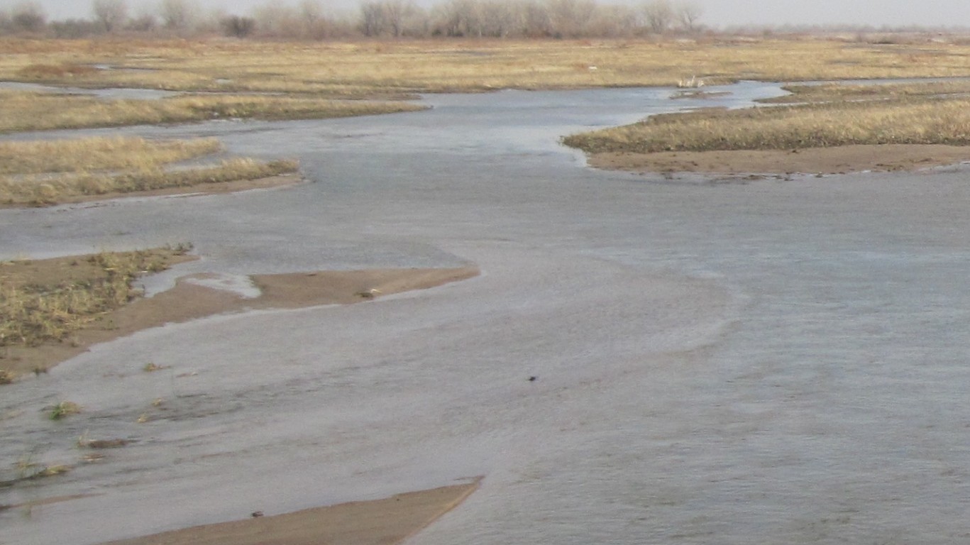
The Platte River to the confluence of the Missouri River is predicted to experience flooding this spring. Colonel John Hudson, commander of the Omaha, Nebraska District of the U.S. Army Corps of Engineers, said the engineers were focused on repairing dams damaged by flood waters along the Missouri River in March. He cited a rupture in a levee at the confluence of the Platte and Missouri rivers in Iowa that was 400 yards wide and 60 feet deep.
[in-text-ad-2]
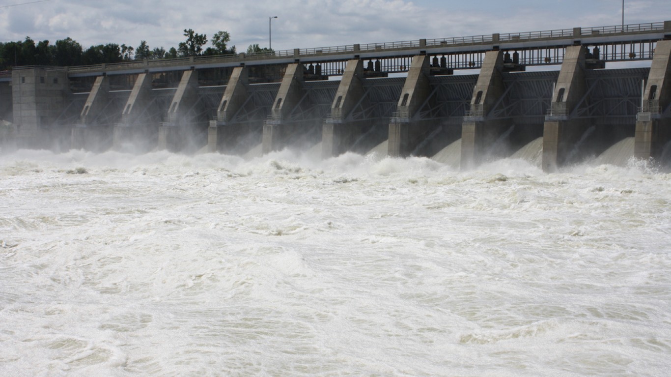
20. Missouri River to Gavins Point Dam to Kansas City
The Missouri River to Gavins Point Dam to Kansas City, which is about 362 miles, is forecast to have flooding episodes this spring. Earlier this spring, the Gavins Point Dam, about four miles west of Yankton, South Dakota, increased water releases to leave room for Lewis and Clark Lake to accommodate runoff from heavy rainfall and snowmelt upstream.
Credit card companies are pulling out all the stops, with the issuers are offering insane travel rewards and perks.
We’re talking huge sign-up bonuses, points on every purchase, and benefits like lounge access, travel credits, and free hotel nights. For travelers, these rewards can add up to thousands of dollars in flights, upgrades, and luxury experiences every year.
It’s like getting paid to travel — and it’s available to qualified borrowers who know where to look.
We’ve rounded up some of the best travel credit cards on the market. Click here to see the list. Don’t miss these offers — they won’t be this good forever.
Thank you for reading! Have some feedback for us?
Contact the 24/7 Wall St. editorial team.