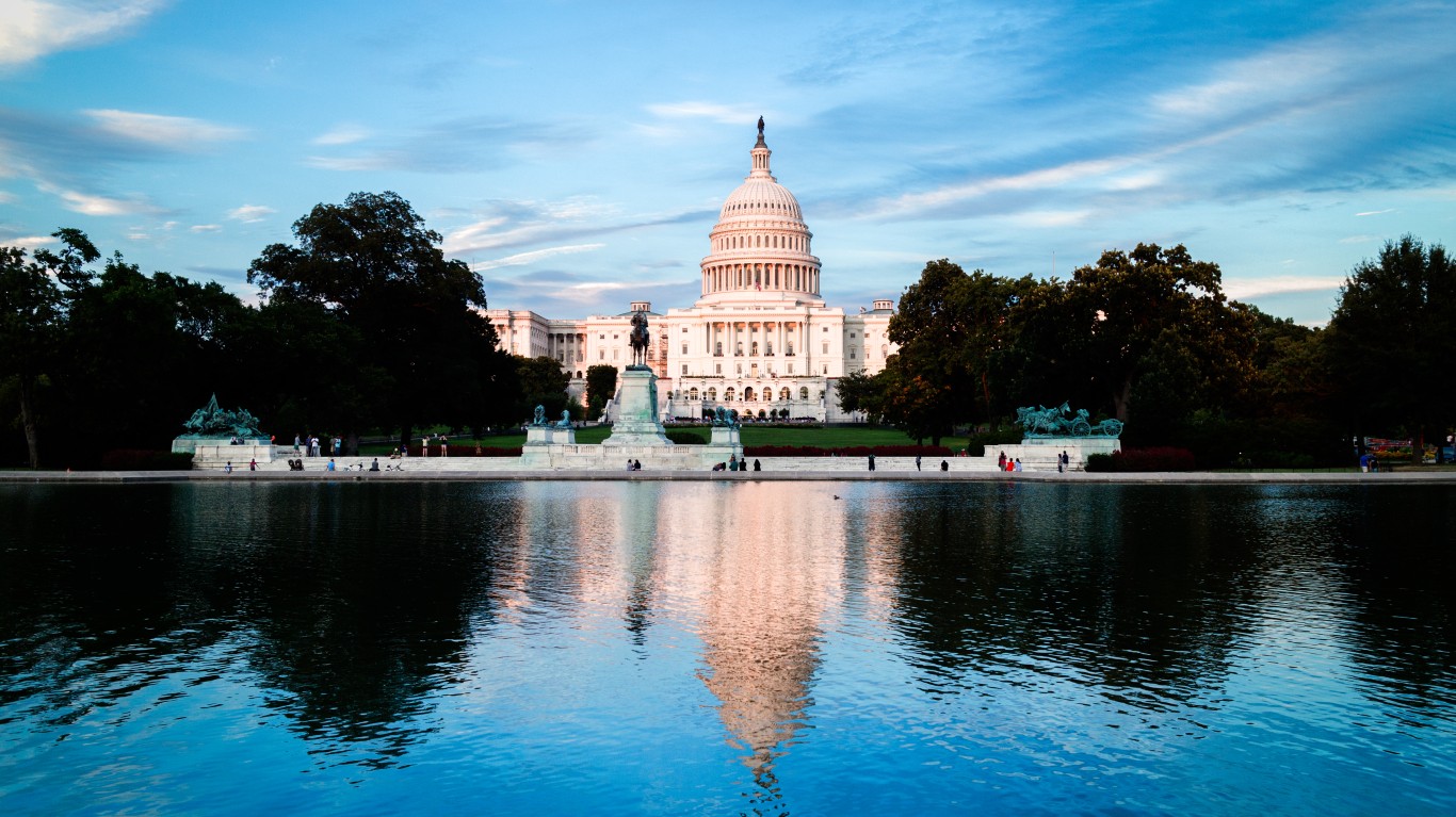
Each year, tens of millions of Americans journey to our nation’s coasts to enjoy the many beautiful beaches. Beaches offer natural beauty, enjoyable climates, and opportunities for countless physical activities involving both sand and water. For many, a summer isn’t complete without a trip to the beach.
Life by the beach is so desirable, in fact, that many people choose to live in close proximity to the ocean permanently. Due to the natural limitations of coastal real estate – as well as the country’s ever-increasing population – many beach towns have become coveted locations available to a limited number of residents. As a result, these towns have become havens for wealthy residents who can afford the high-priced housing.
To determine America’s richest beach towns, 24/7 Wall St. reviewed household income data from the U.S. Census Bureau’s American Community Survey in America’s coastal towns with beaches. Boroughs, census designated places, cities, towns, and villages were all considered.
While they may not be home to the country’s most popular beaches, many of the richest beach towns are located in the Northeast, especially around economic powerhouse New York City. Many coastal towns in Connecticut, New Jersey, and Long Island have median household incomes of well over $100,000, compared to the national median of just over $57,000. These places are also home to many of America’s richest towns overall.
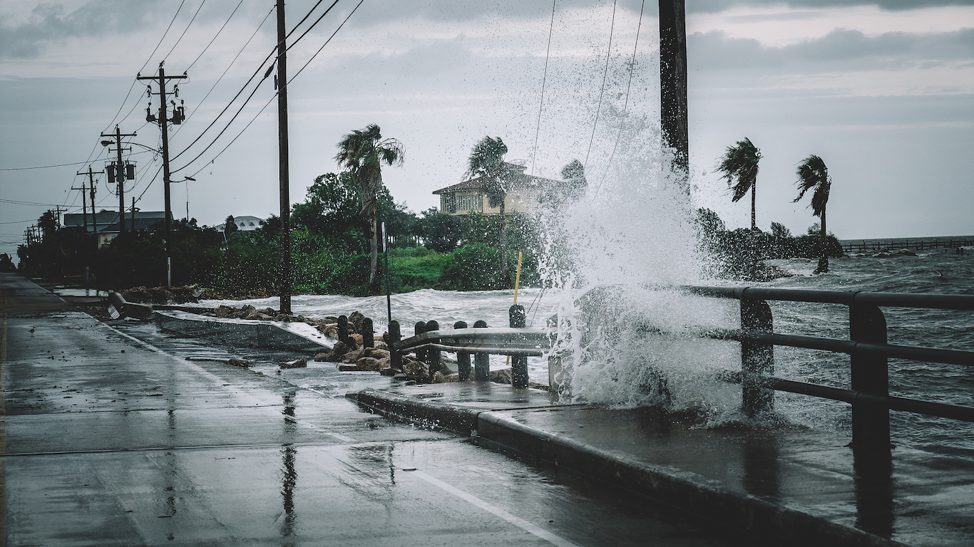
Life by the ocean isn’t without its own unique stresses. Many homes are vulnerable to catastrophic weather events as well as flooding due to rising sea levels. While not all coastal communities face these threats at the same level, the beach towns that are predicted to soon be under water face potential ruin.
More than one-fifth of residents in wealthy beach towns such as Sullivan’s Island, South Carolina; Key Biscane, Florida; and Strathmere, New Jersey, currently live in homes at risk of chronic flooding by 2060, according to science advocacy organization the Union of Concerned Scientists.
Click here to see America’s richest beach towns.
24/7 Wall St. has identified America’s richest beach towns based on 5-year estimated median household income data from the Census Bureau’s 2017 American Community Survey. Population and poverty rates for each town or city are also from the ACS. The percentage of total population living in at-risk homes refers to the share of homes that will be at risk of flooding by the year 2060, according to data in the Union of Concerned Scientists report “Underwater: Rising Seas, Chronic Floods, and the Implications for US Coastal Real Estate.” To qualify as a “beach town,” the area in question must have a beach that is both open to and actively used by residents. Only towns within the contiguous United States were considered.
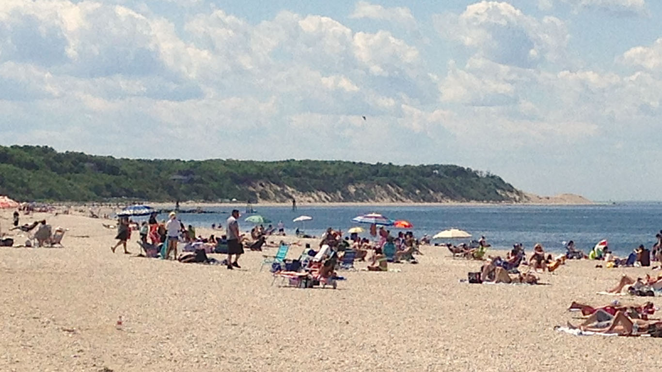
34. Mount Sinai, New York
> Median household income: $114,310
> Population: 12,362
> Poverty rate: 7.4%
> Pct. of pop. at risk of flooding by 2060: 0.2%
[in-text-ad]
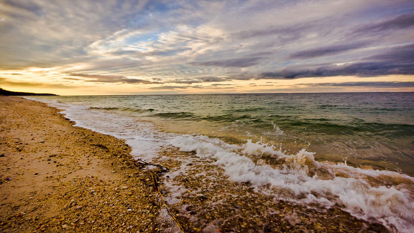
33. Wading River, New York
> Median household income: $116,709
> Population: 7,742
> Poverty rate: 4.8%
> Pct. of pop. at risk of flooding by 2060: 0.3%
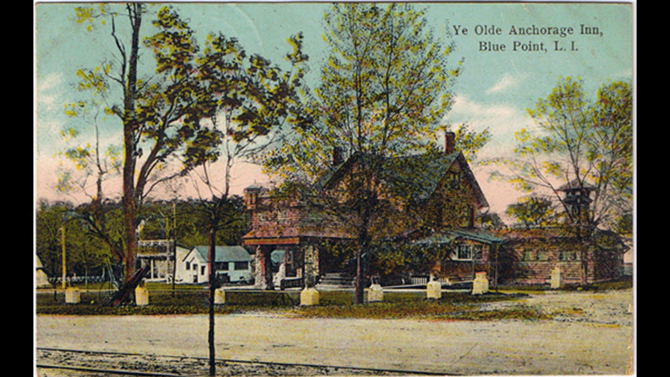
32. Blue Point, New York
> Median household income: $117,313
> Population: 4,581
> Poverty rate: 3.4%
> Pct. of pop. at risk of flooding by 2060: 8.8%
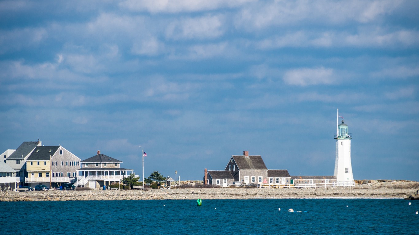
31. Scituate, Massachusetts
> Median household income: $117,973
> Population: 5,471
> Poverty rate: 4.0%
> Pct. of pop. at risk of flooding by 2060: 3.1%
[in-text-ad-2]
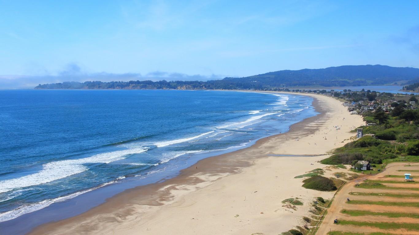
30. Stinson Beach, California
> Median household income: $119,309
> Population: 603
> Poverty rate: 8.7%
> Pct. of pop. at risk of flooding by 2060: 5.6%
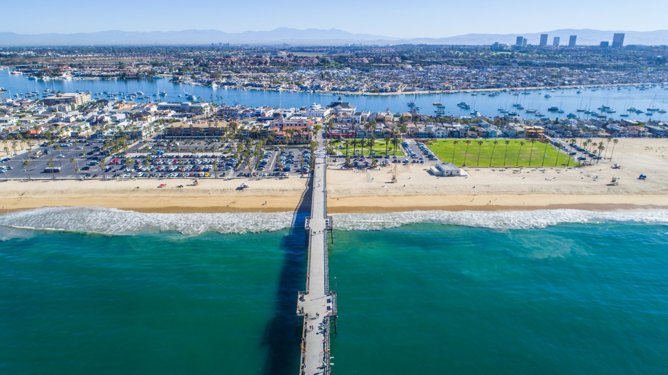
29. Newport Beach, California
> Median household income: $119,379
> Population: 86,813
> Poverty rate: 6.2%
> Pct. of pop. at risk of flooding by 2060: 6.6%
[in-text-ad]
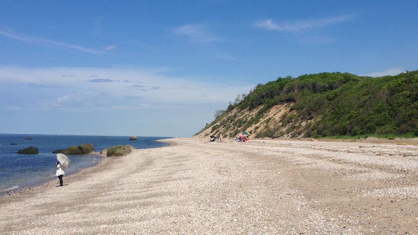
28. Miller Place, New York
> Median household income: $119,963
> Population: 11,985
> Poverty rate: 3.9%
> Pct. of pop. at risk of flooding by 2060: 0.0%
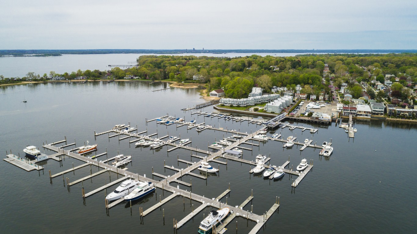
27. Port Washington, New York
> Median household income: $120,233
> Population: 15,925
> Poverty rate: 2.3%
> Pct. of pop. at risk of flooding by 2060: 0.0%
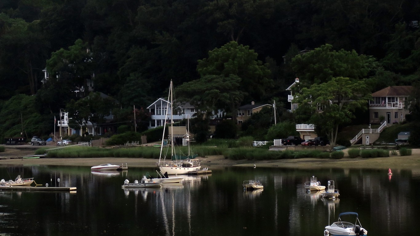
26. Centerport, New York
> Median household income: $120,391
> Population: 5,251
> Poverty rate: 2.8%
> Pct. of pop. at risk of flooding by 2060: 1.2%
[in-text-ad-2]
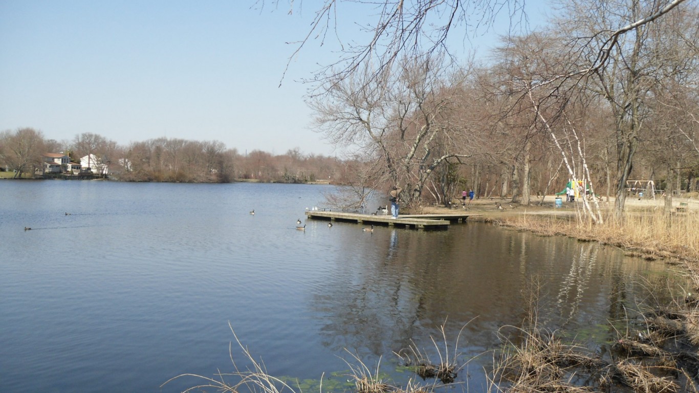
25. East Islip, New York
> Median household income: $120,528
> Population: 13,853
> Poverty rate: 7.4%
> Pct. of pop. at risk of flooding by 2060: 0.5%
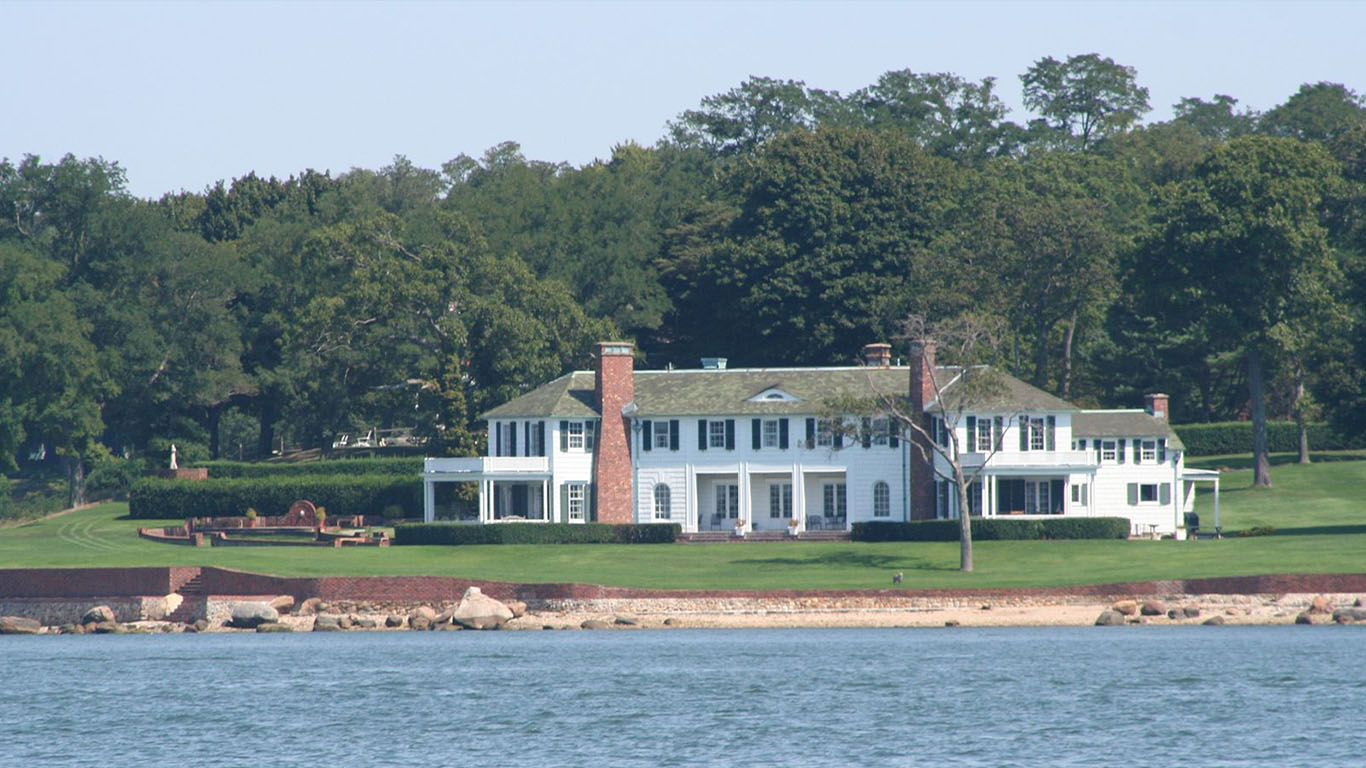
24. Shelter Island Heights, New York
> Median household income: $120,787
> Population: 1,386
> Poverty rate: 0.0%
> Pct. of pop. at risk of flooding by 2060: 0.8%
[in-text-ad]
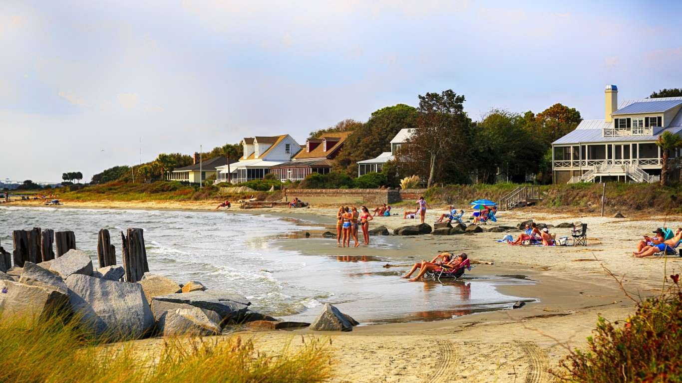
23. Sullivan’s Island, South Carolina
> Median household income: $120,850
> Population: 2,049
> Poverty rate: 6.7%
> Pct. of pop. at risk of flooding by 2060: 20.5%
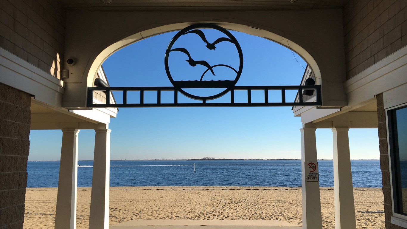
22. Babylon, New York
> Median household income: $123,110
> Population: 12,130
> Poverty rate: 4.5%
> Pct. of pop. at risk of flooding by 2060: 19.2%
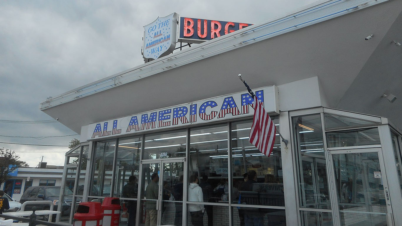
21. Massapequa, New York
> Median household income: $123,384
> Population: 21,820
> Poverty rate: 2.4%
> Pct. of pop. at risk of flooding by 2060: 7.9%
[in-text-ad-2]
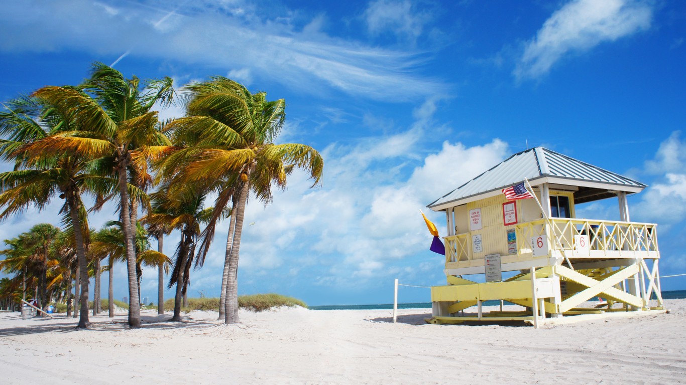
20. Key Biscayne, Florida
> Median household income: $128,563
> Population: 12,935
> Poverty rate: 6.5%
> Pct. of pop. at risk of flooding by 2060: 34.7%
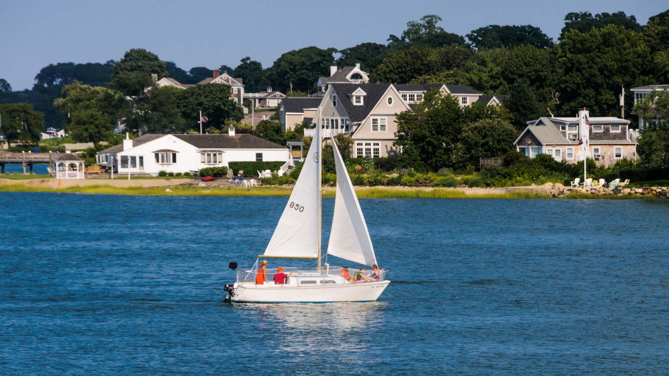
19. Hingham, Massachusetts
> Median household income: $130,375
> Population: 5,777
> Poverty rate: 4.3%
> Pct. of pop. at risk of flooding by 2060: 0.4%
[in-text-ad]
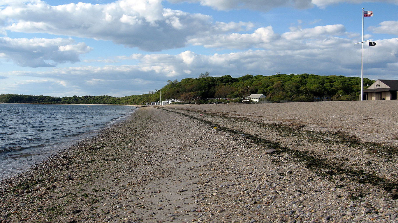
18. Stony Brook, New York
> Median household income: $131,308
> Population: 13,437
> Poverty rate: 7.4%
> Pct. of pop. at risk of flooding by 2060: 0.0%
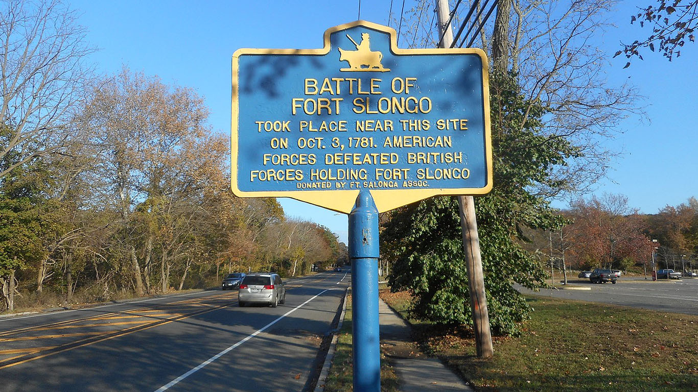
17. Fort Salonga, New York
> Median household income: $131,818
> Population: 9,835
> Poverty rate: 6.4%
> Pct. of pop. at risk of flooding by 2060: 0.7%
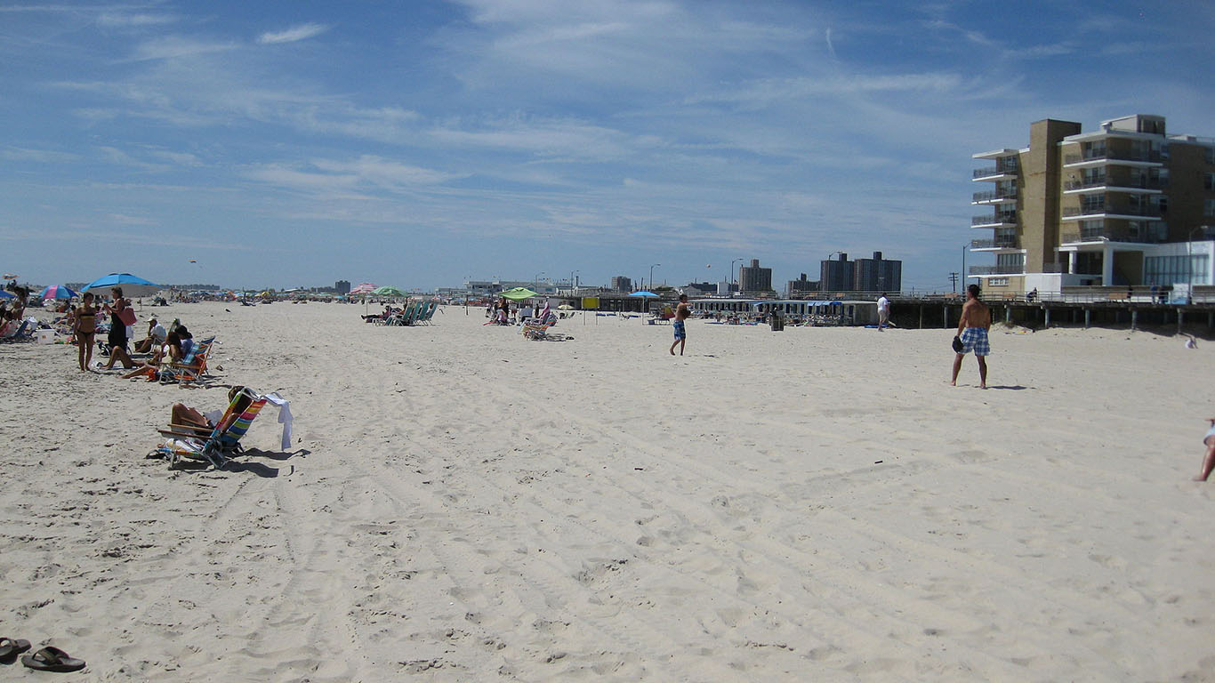
16. Atlantic Beach, New York
> Median household income: $131,964
> Population: 1,574
> Poverty rate: 2.4%
> Pct. of pop. at risk of flooding by 2060: 0.4%
[in-text-ad-2]
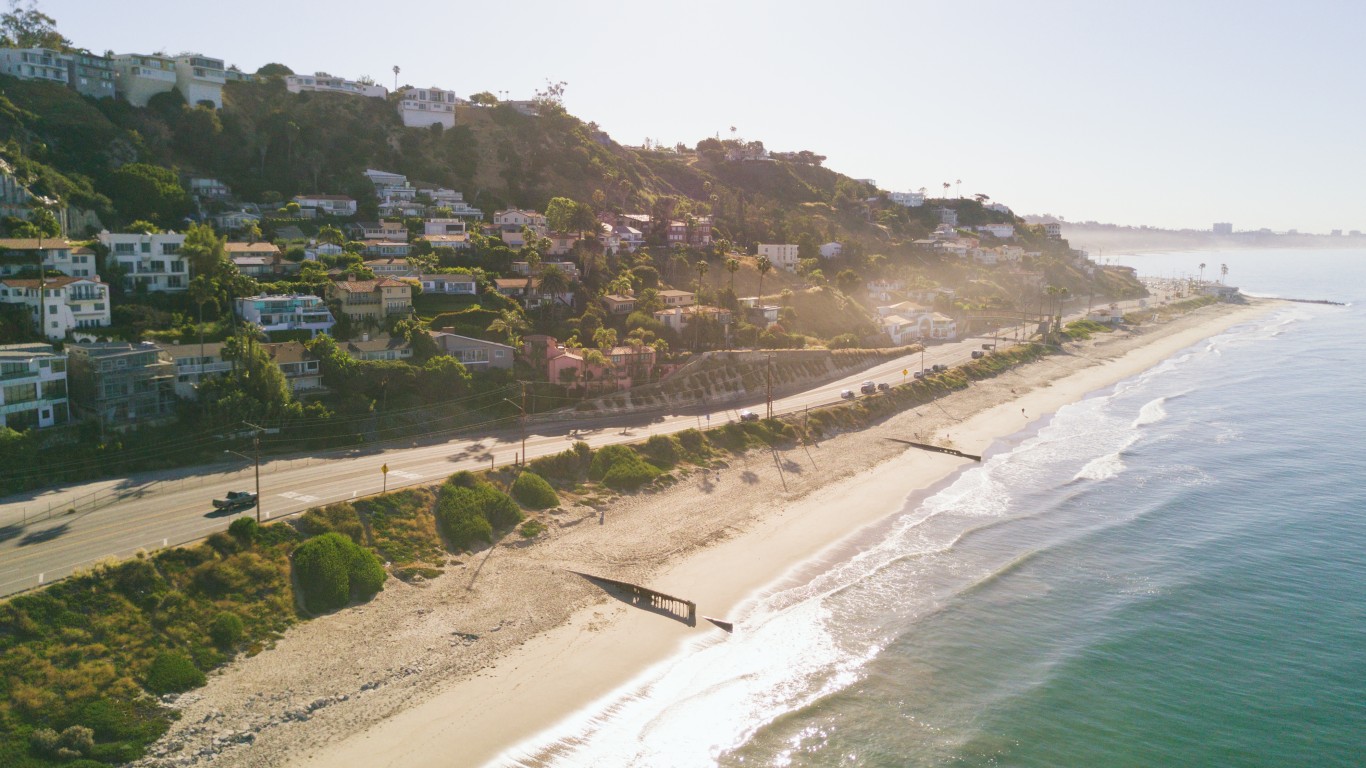
15. Malibu, California
> Median household income: $134,282
> Population: 12,853
> Poverty rate: 10.2%
> Pct. of pop. at risk of flooding by 2060: 1.8%
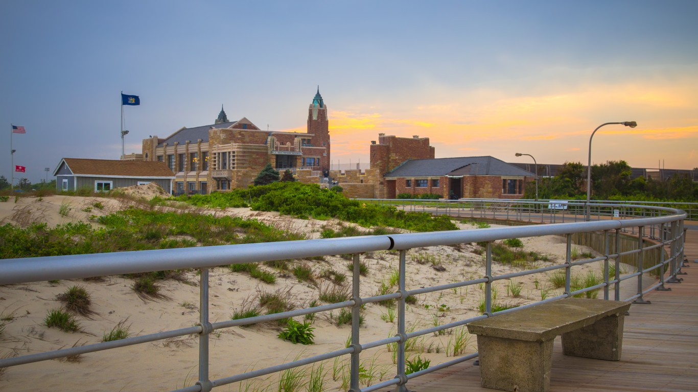
14. Wantagh, New York
> Median household income: $136,214
> Population: 18,490
> Poverty rate: 1.9%
> Pct. of pop. at risk of flooding by 2060: 2.4%
[in-text-ad]
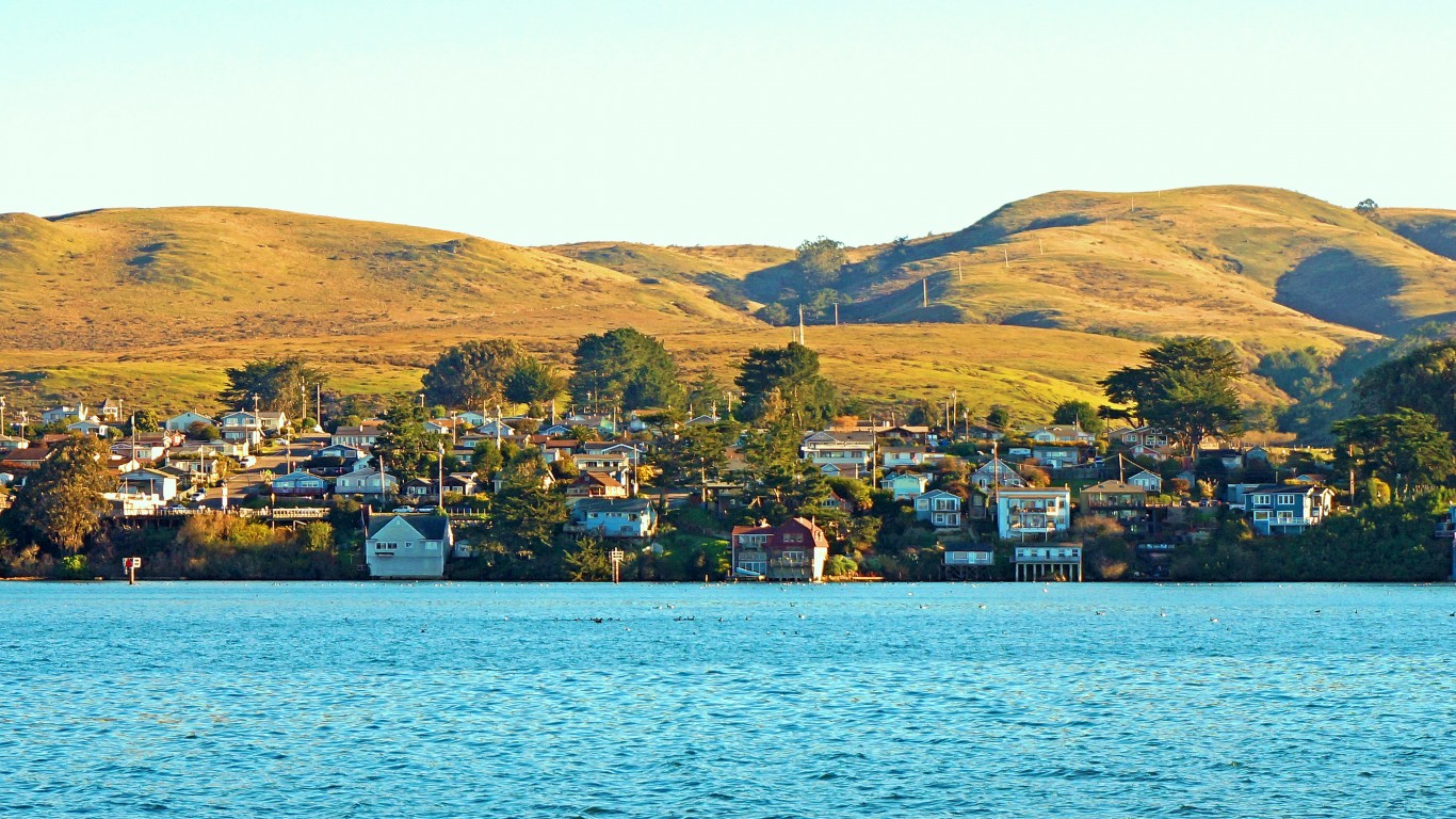
13. Bodega Bay, California
> Median household income: $137,946
> Population: 608
> Poverty rate: 5.5%
> Pct. of pop. at risk of flooding by 2060: 1.0%
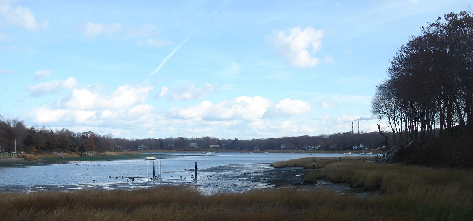
12. Setauket-East Setauket, New York
> Median household income: $141,863
> Population: 14,174
> Poverty rate: 1.8%
> Pct. of pop. at risk of flooding by 2060: 0.1%
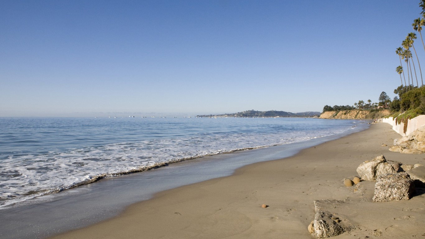
11. Montecito, California
> Median household income: $146,250
> Population: 9,193
> Poverty rate: 8.0%
> Pct. of pop. at risk of flooding by 2060: 0.0%
[in-text-ad-2]
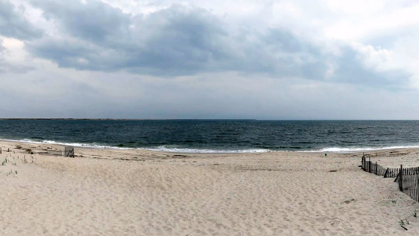
10. Point Lookout, New York
> Median household income: $146,389
> Population: 1,128
> Poverty rate: 0.0%
> Pct. of pop. at risk of flooding by 2060: 1.7%
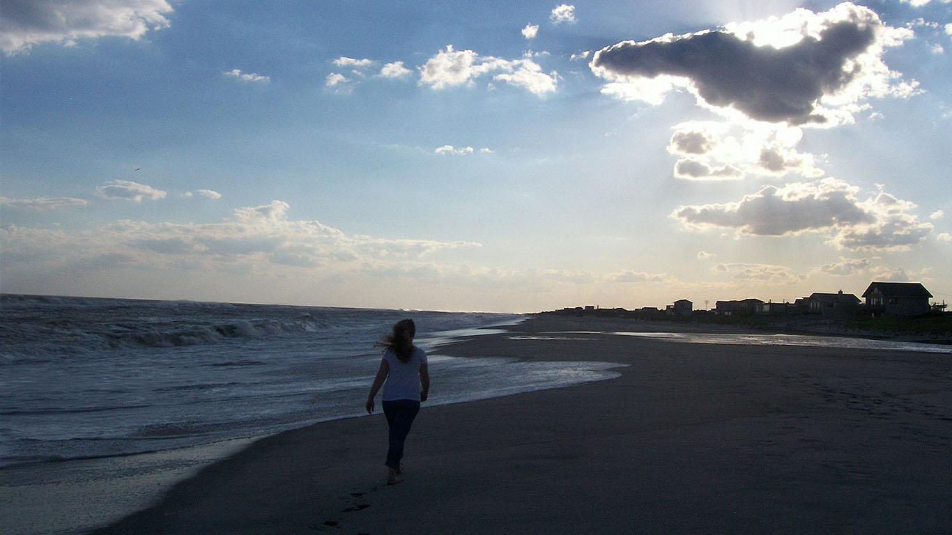
9. Fishers Island, New York
> Median household income: $150,703
> Population: 303
> Poverty rate: 0.9%
> Pct. of pop. at risk of flooding by 2060: 0.2%
[in-text-ad]
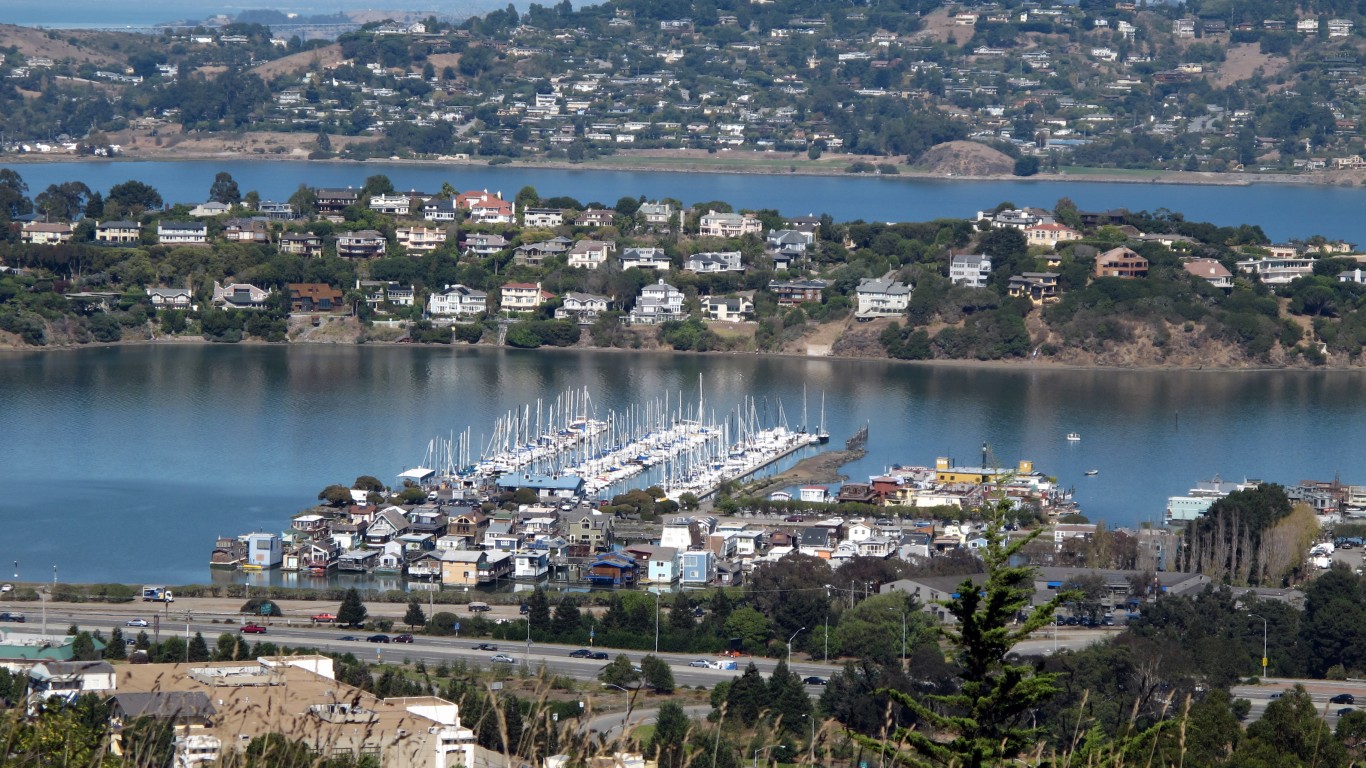
8. Tiburon, California
> Median household income: $151,429
> Population: 9,170
> Poverty rate: 2.5%
> Pct. of pop. at risk of flooding by 2060: 7.1%
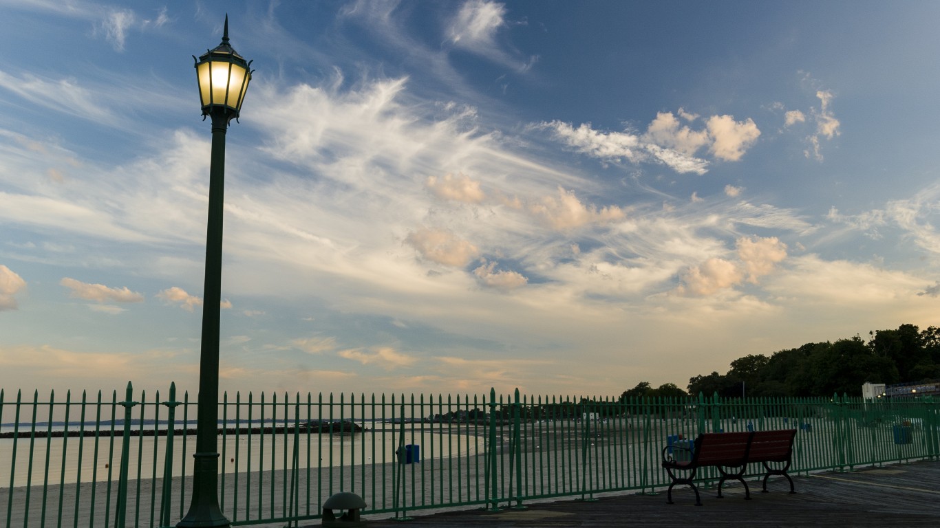
7. Rye, New York
> Median household income: $172,422
> Population: 15,949
> Poverty rate: 3.2%
> Pct. of pop. at risk of flooding by 2060: 0.5%
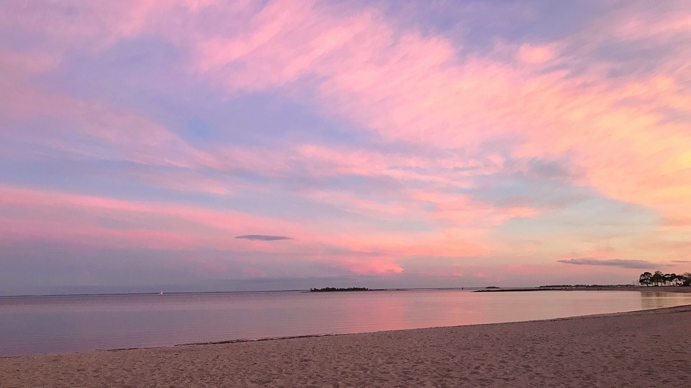
6. Westport, Connecticut
> Median household income: $181,360
> Population: 27,511
> Poverty rate: 4.3%
> Pct. of pop. at risk of flooding by 2060: 4.3%
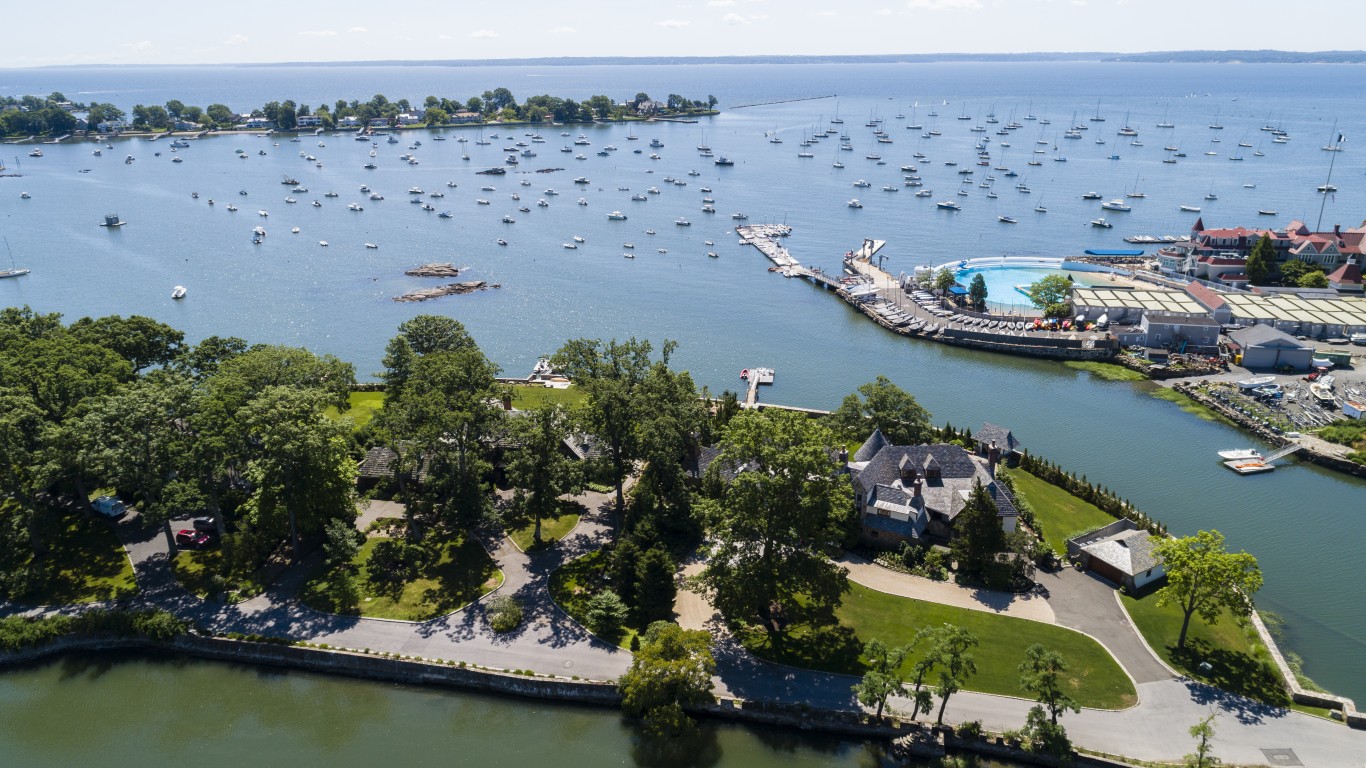
5. Larchmont, New York
> Median household income: $198,661
> Population: 6,031
> Poverty rate: 1.9%
> Pct. of pop. at risk of flooding by 2060: 0.3%
[in-text-ad]
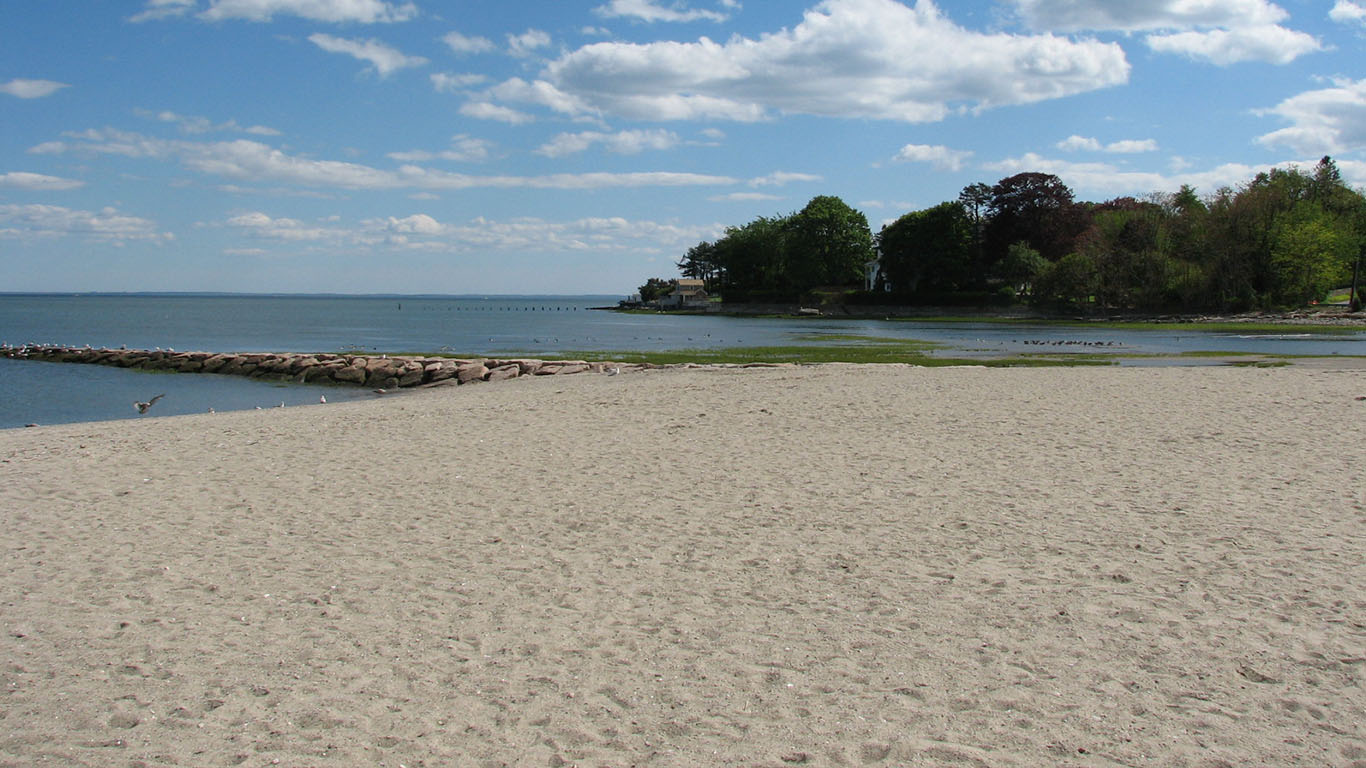
4. Southport, Connecticut
> Median household income: $200,139
> Population: 1,694
> Poverty rate: 4.5%
> Pct. of pop. at risk of flooding by 2060: 0.2%
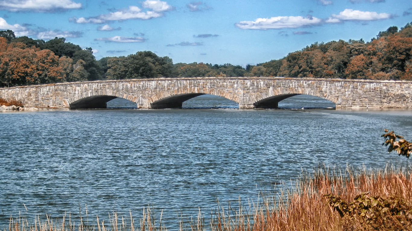
3. Darien, Connecticut
> Median household income: $208,848
> Population: 21,519
> Poverty rate: 3.7%
> Pct. of pop. at risk of flooding by 2060: 2.1%
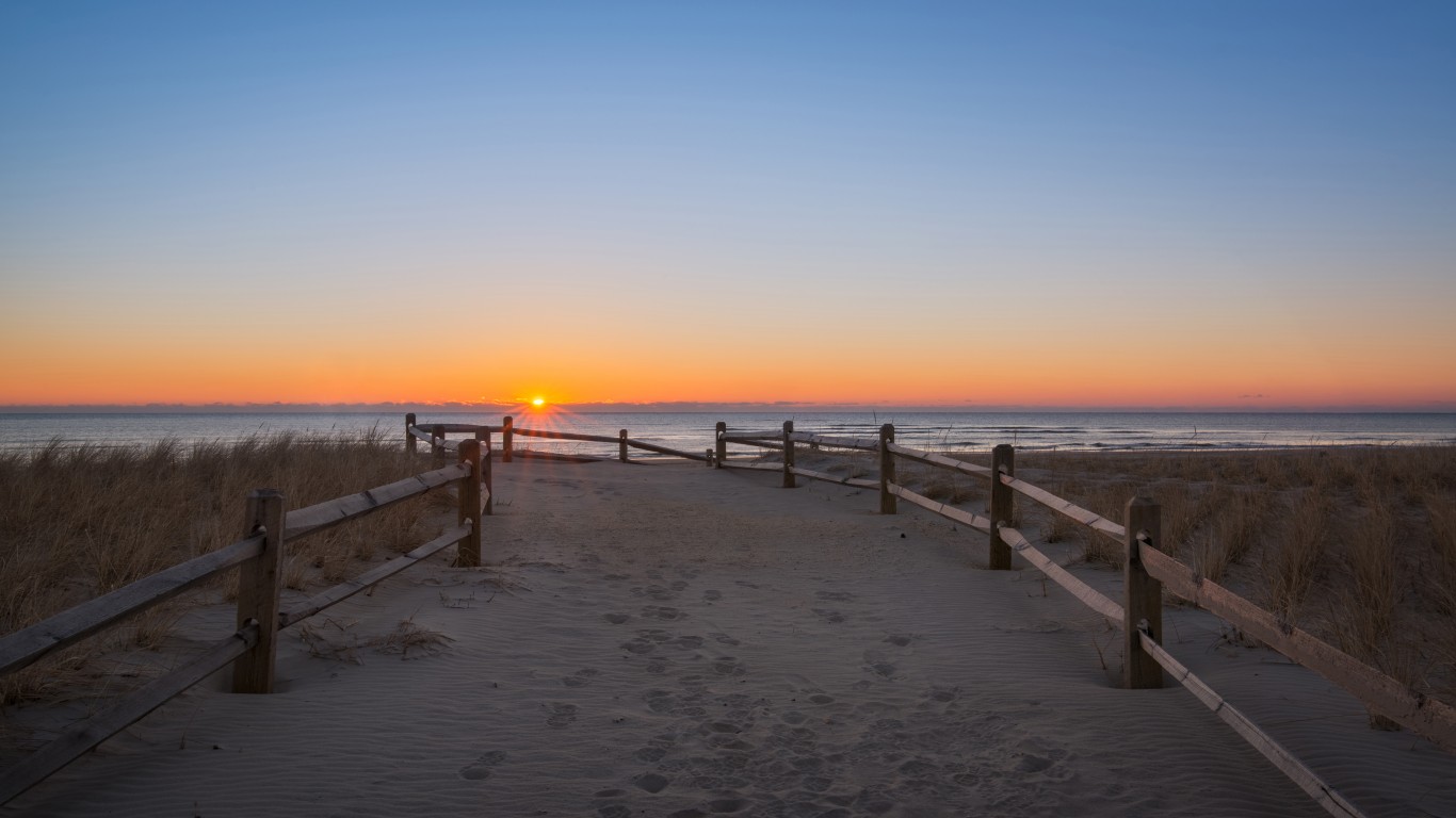
2. Strathmere, New Jersey
> Median household income: $222,031
> Population: 181
> Poverty rate: 3.1%
> Pct. of pop. at risk of flooding by 2060: 63.4%
[in-text-ad-2]
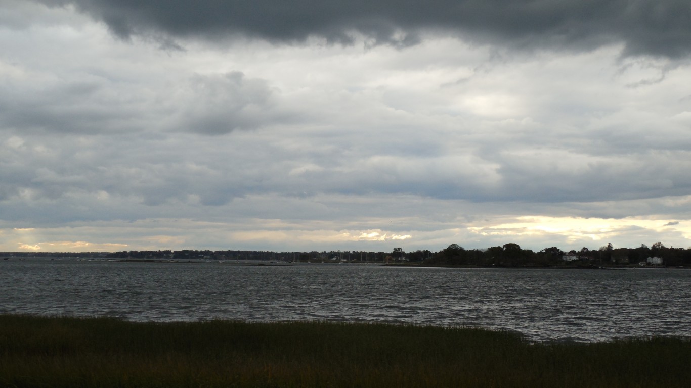
1. Old Greenwich, Connecticut
> Median household income: $236,250
> Population: 7,000
> Poverty rate: 4.9%
> Pct. of pop. at risk of flooding by 2060: 7.6%
100 Million Americans Are Missing This Crucial Retirement Tool
The thought of burdening your family with a financial disaster is most Americans’ nightmare. However, recent studies show that over 100 million Americans still don’t have proper life insurance in the event they pass away.
Life insurance can bring peace of mind – ensuring your loved ones are safeguarded against unforeseen expenses and debts. With premiums often lower than expected and a variety of plans tailored to different life stages and health conditions, securing a policy is more accessible than ever.
A quick, no-obligation quote can provide valuable insight into what’s available and what might best suit your family’s needs. Life insurance is a simple step you can take today to help secure peace of mind for your loved ones tomorrow.
Click here to learn how to get a quote in just a few minutes.
Thank you for reading! Have some feedback for us?
Contact the 24/7 Wall St. editorial team.
 24/7 Wall St.
 24/7 Wall St.
 24/7 Wall St.
 24/7 Wall St.

