Special Report
American Cities That Will Soon Be Under Water
Published:
Last Updated:

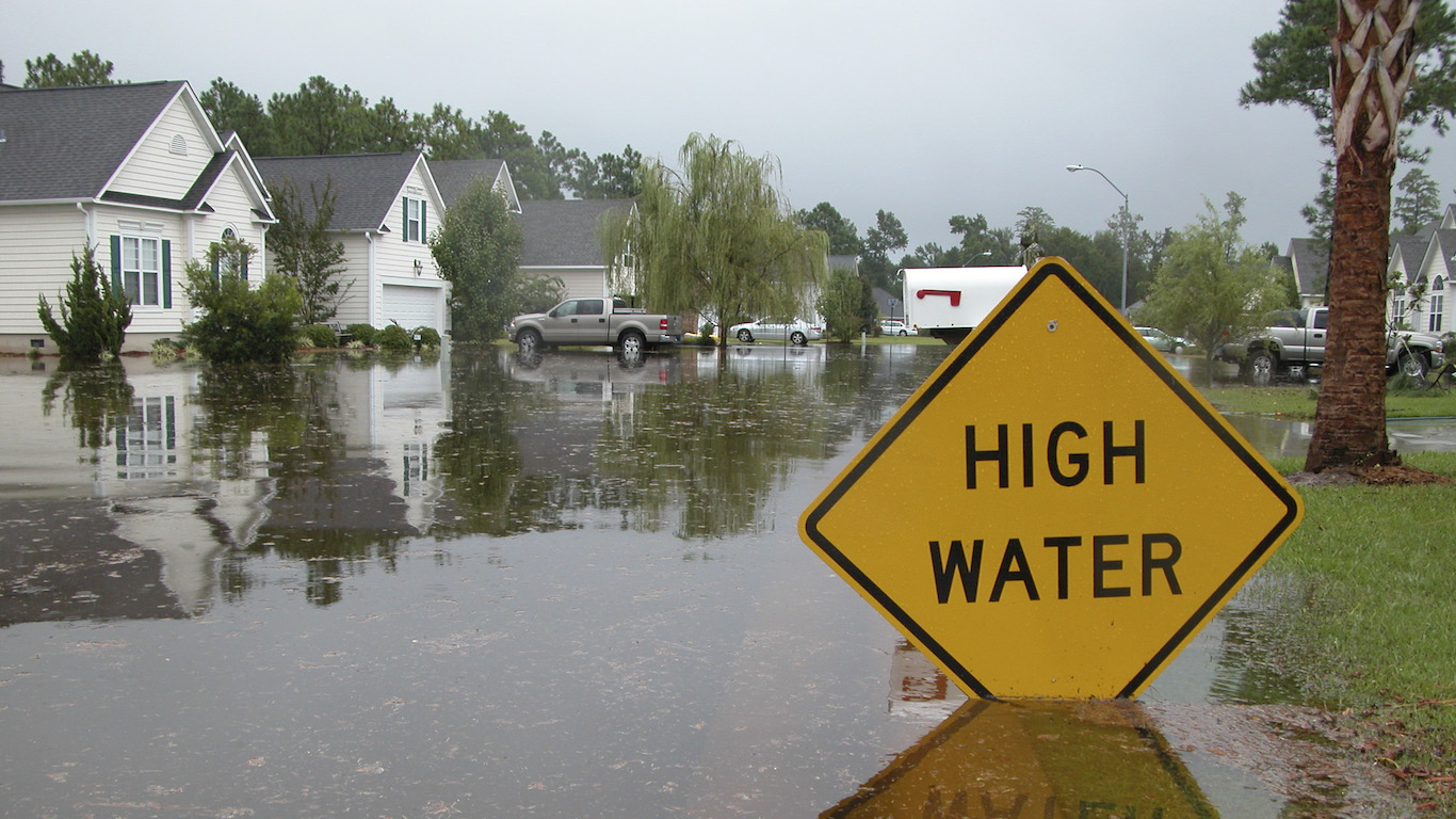
A recent report from Climate Central, an independent organization of scientists and journalists researching and reporting climate change, said rising sea levels caused by global warming could lift chronic flooding higher than land now home to 300 million people. By 2100, land where 200 million people now live could be permanently below the high-tide line. Currently, 110 million live below the high-tide level. The report says 760,000 Americans currently live below the high-tide line, and by the most conservative estimate, that number will rise to 1.6 million by 2100.
With the ice in Greenland and Antarctica melting at record rates, scientists currently estimate sea levels could rise 2-7 feet by the end of the century, with some estimates even higher. Antarctica has about 90% of all ice in the world, enough to raise global sea levels by 200 feet, in theory. This kind of catastrophic sea level rise is just one of many potential disaster scenarios caused by climate change.
24/7 Wall St. reviewed data modeled by environmental watchdog group the Union of Concerned Scientists. The UCS in June 2018 released a report identifying U.S. coastal communities expected to face chronic and disruptive flooding before the end of the century.
We reviewed the coastal communities in which at least 10% of habitable land is expected to experience chronic flooding by 2060. Places are ranked by the number of residents that live in parts of the community expected to be regularly flooded by 2060.
Other factors, such as the possibility that global climate change could increase the prevalence and intensity of severe weather events such as hurricanes, could make actual outcomes in these cities even more dire. There are already places in the United States where weather appears to be getting worse because of climate change.
Across U.S. coastal cities, more than 300,000 homes worth a combined $117.5 billion are likely to be at risk of chronic tidal flooding within 30 years, according to UCS analysis and projections. By the end of the century, that total could rise to 2.4 million homes and more than $1 trillion in property damage — and those estimates are based only on existing homes. The regular inundation these cities face in the near future could make the worst floods in American history seem tame by comparison.
Click here to see the American cities that will soon be under water
Click here to read our methodology
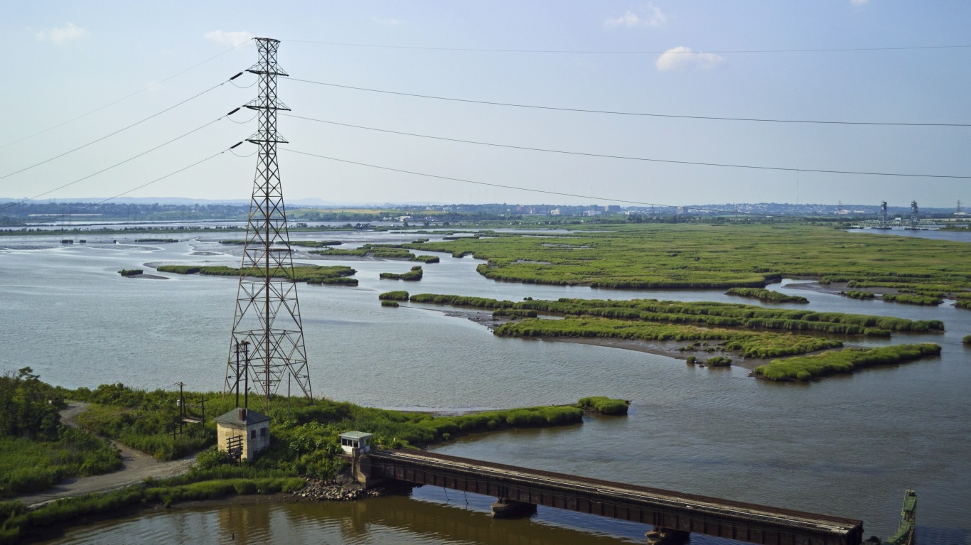
35. Secaucus, New Jersey
> Population with homes at risk of flooding in 2060: 3,092 (19.0%)
> Population with homes at risk of flooding in 2100: 5,594 (34.4%)
> Habitable land that will be underwater by 2060: 25.7%
> Habitable land that will be underwater by 2100: 65.8%
> Current property value at risk in 2060: $230 million
[in-text-ad]
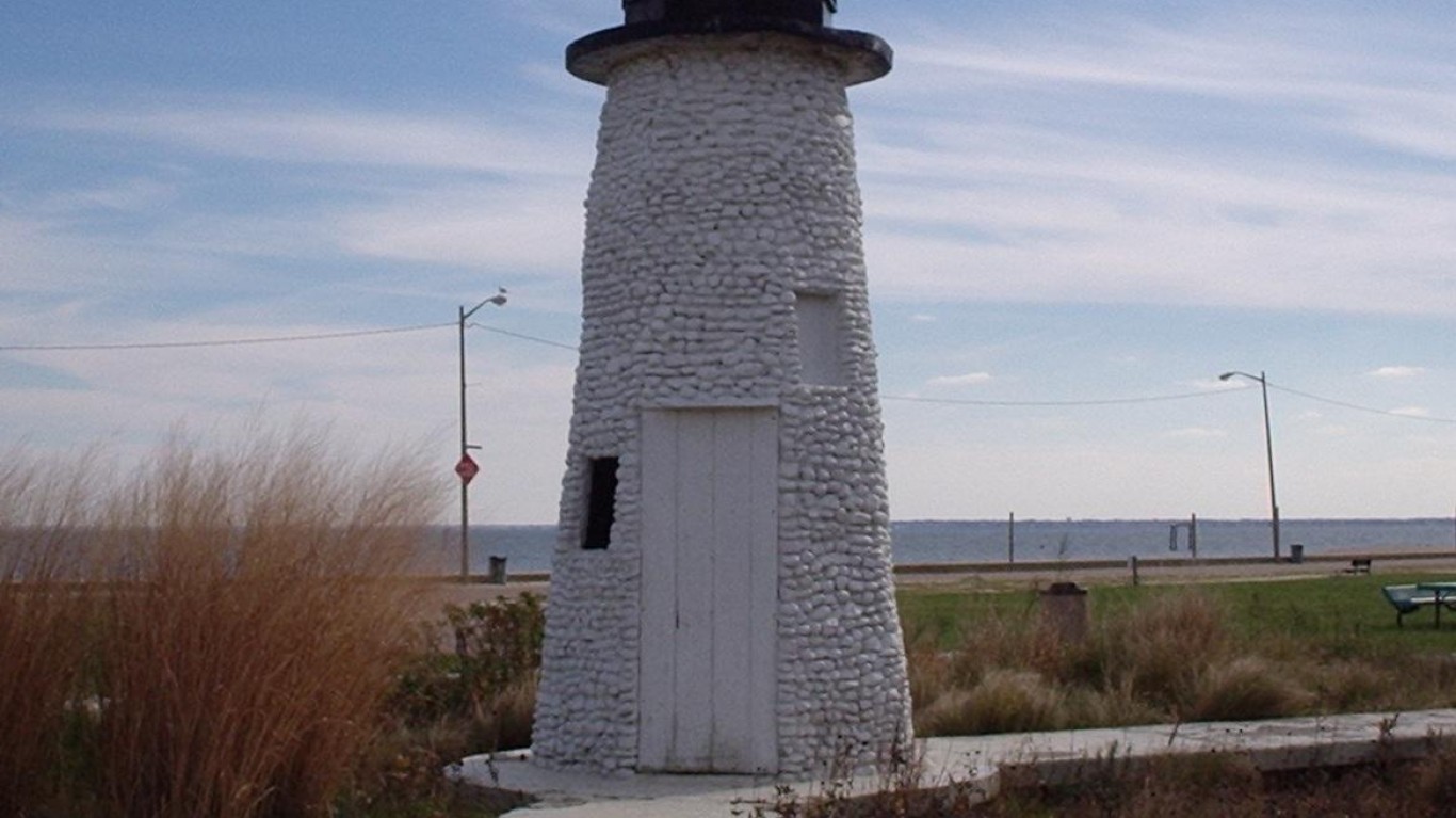
34. Hampton, Virginia
> Population with homes at risk of flooding in 2060: 3,306 (2.4%)
> Population with homes at risk of flooding in 2100: 37,495 (27.3%)
> Habitable land that will be underwater by 2060: 10.4%
> Habitable land that will be underwater by 2100: 45.7%
> Current property value at risk in 2060: $340 million
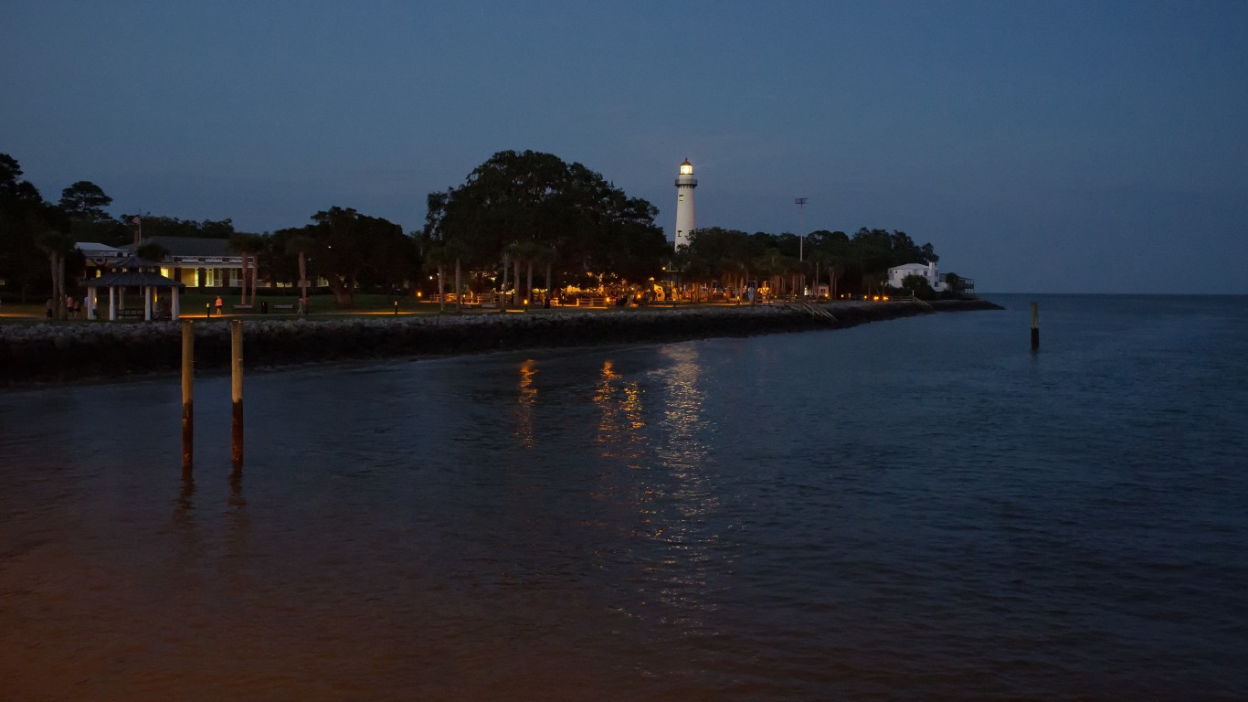
33. St. Simons, Georgia
> Population with homes at risk of flooding in 2060: 3,370 (22.9%)
> Population with homes at risk of flooding in 2100: 9,651 (65.6%)
> Habitable land that will be underwater by 2060: 26.4%
> Habitable land that will be underwater by 2100: 60.1%
> Current property value at risk in 2060: $1.7 billion
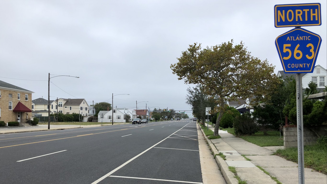
32. Margate City, New Jersey
> Population with homes at risk of flooding in 2060: 3,533 (55.6%)
> Population with homes at risk of flooding in 2100: 5,910 (93.0%)
> Habitable land that will be underwater by 2060: 55.7%
> Habitable land that will be underwater by 2100: 99.6%
> Current property value at risk in 2060: $1.9 billion
[in-text-ad-2]

31. St. Helena Island, South Carolina
> Population with homes at risk of flooding in 2060: 3,535 (16.0%)
> Population with homes at risk of flooding in 2100: 9,084 (41.2%)
> Habitable land that will be underwater by 2060: 27.3%
> Habitable land that will be underwater by 2100: 59.0%
> Current property value at risk in 2060: $736 million
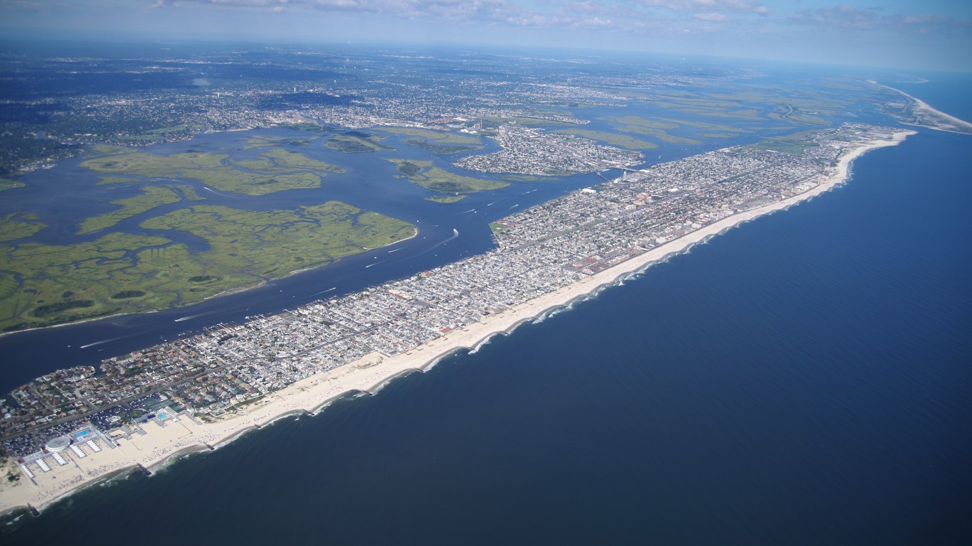
30. Long Beach, New York
> Population with homes at risk of flooding in 2060: 3,588 (10.8%)
> Population with homes at risk of flooding in 2100: 16,187 (48.6%)
> Habitable land that will be underwater by 2060: 26.4%
> Habitable land that will be underwater by 2100: 95.5%
> Current property value at risk in 2060: $733 million
[in-text-ad]
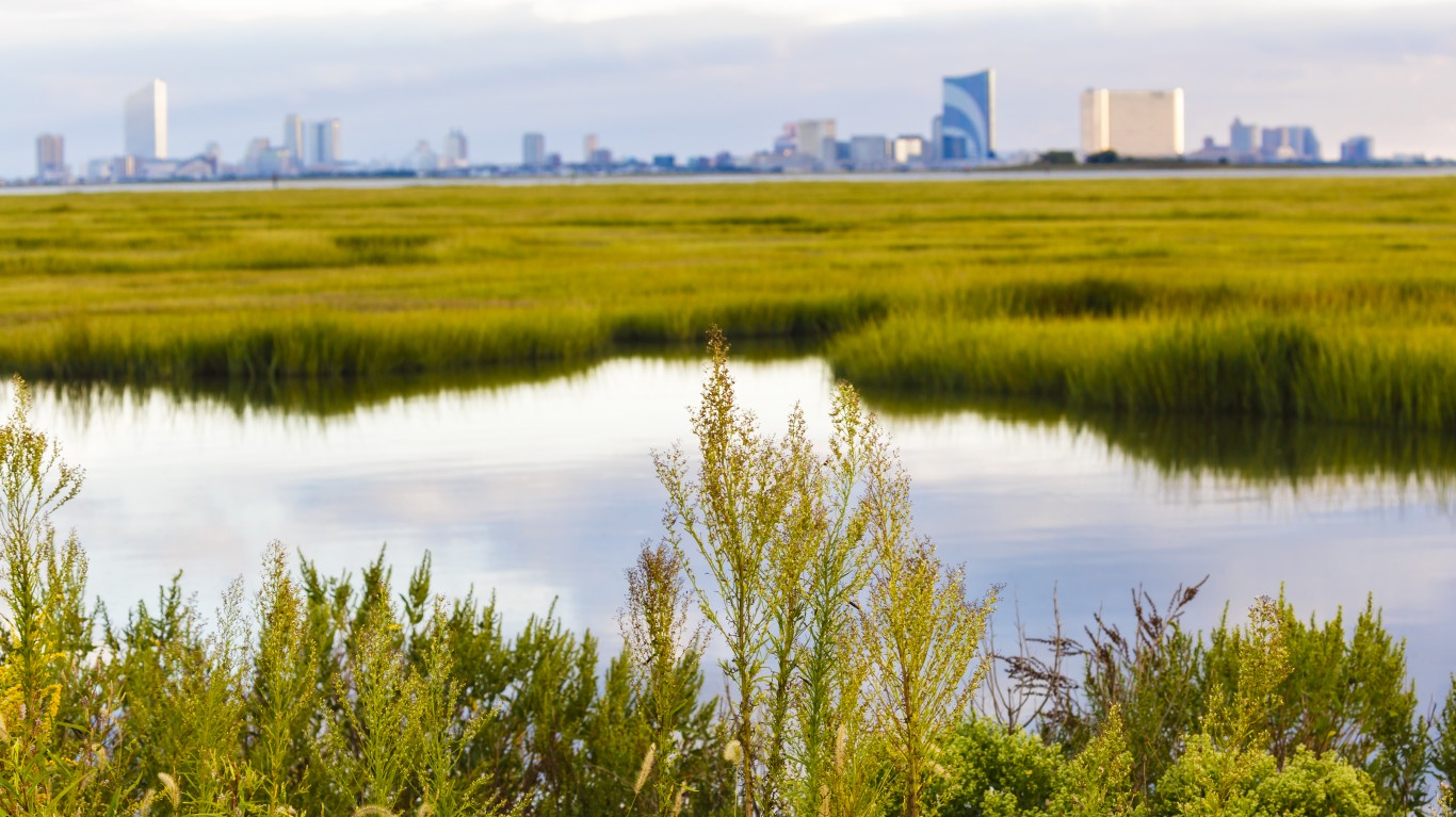
29. Brigantine, New Jersey
> Population with homes at risk of flooding in 2060: 3,590 (38.0%)
> Population with homes at risk of flooding in 2100: 8,717 (92.2%)
> Habitable land that will be underwater by 2060: 48.0%
> Habitable land that will be underwater by 2100: 95.9%
> Current property value at risk in 2060: $1.3 billion
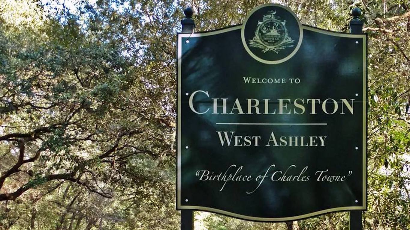
28. West Ashley, South Carolina
> Population with homes at risk of flooding in 2060: 3,753 (5.5%)
> Population with homes at risk of flooding in 2100: 19,731 (28.8%)
> Habitable land that will be underwater by 2060: 13.7%
> Habitable land that will be underwater by 2100: 42.2%
> Current property value at risk in 2060: $593 million
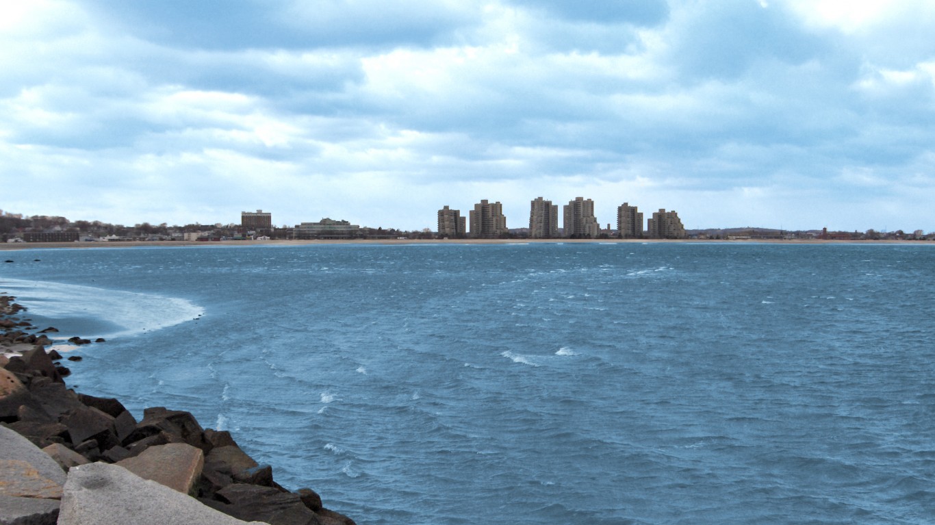
27. Revere, Massachusetts
> Population with homes at risk of flooding in 2060: 3,821 (7.4%)
> Population with homes at risk of flooding in 2100: 7,286 (14.1%)
> Habitable land that will be underwater by 2060: 18.9%
> Habitable land that will be underwater by 2100: 39.3%
> Current property value at risk in 2060: $547 million
[in-text-ad-2]
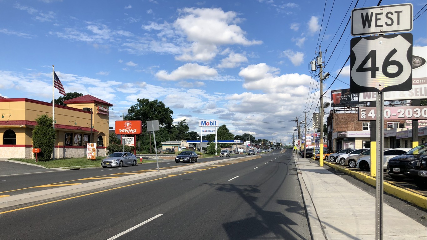
26. Little Ferry, New Jersey
> Population with homes at risk of flooding in 2060: 3,881 (36.5%)
> Population with homes at risk of flooding in 2100: 4,406 (41.5%)
> Habitable land that will be underwater by 2060: 75.4%
> Habitable land that will be underwater by 2100: 92.0%
> Current property value at risk in 2060: $478 million
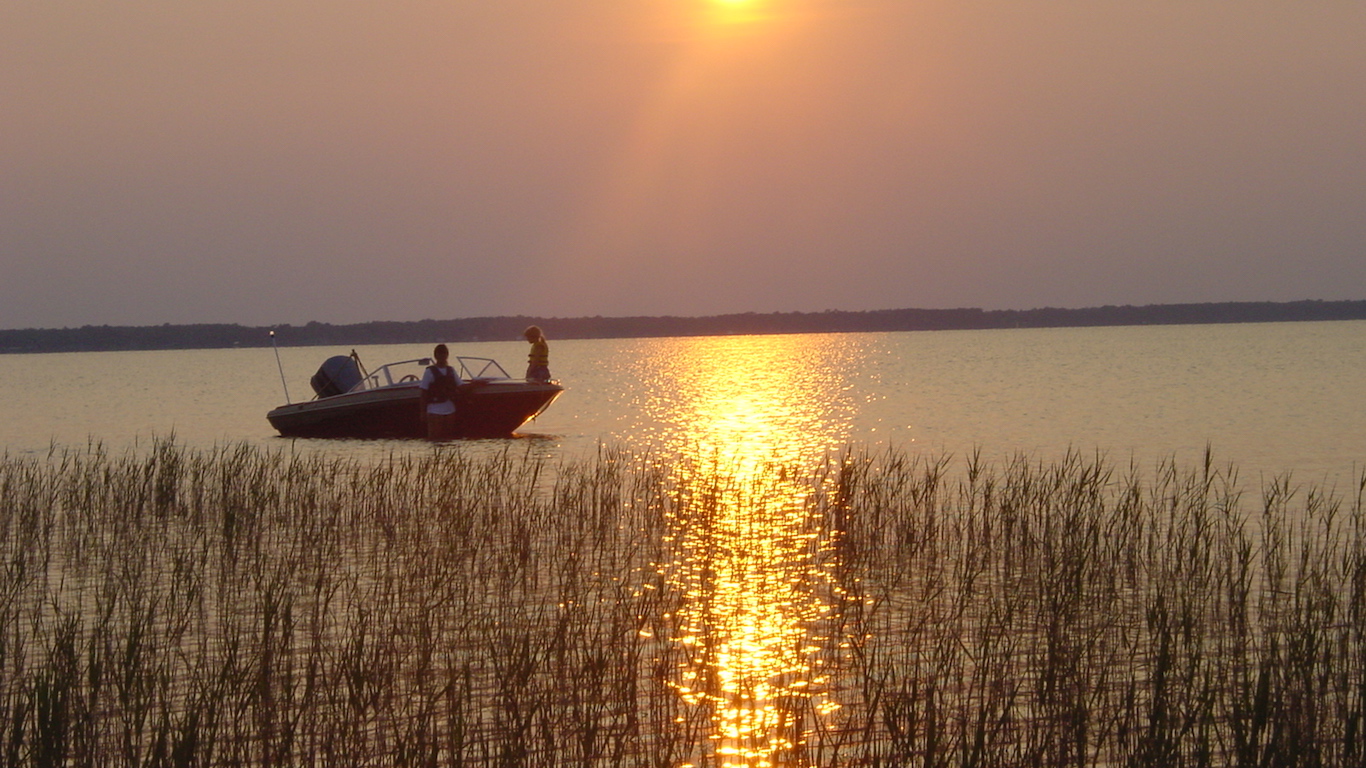
25. Waccamaw Neck, South Carolina
> Population with homes at risk of flooding in 2060: 3,933 (17.7%)
> Population with homes at risk of flooding in 2100: 8,531 (38.4%)
> Habitable land that will be underwater by 2060: 15.7%
> Habitable land that will be underwater by 2100: 32.5%
> Current property value at risk in 2060: $1.9 billion
[in-text-ad]
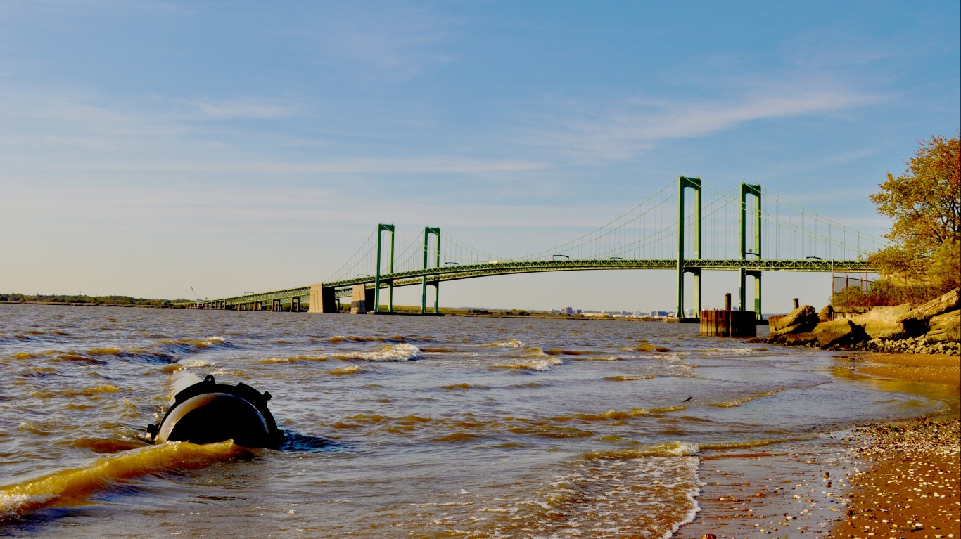
24. Pennsville, New Jersey
> Population with homes at risk of flooding in 2060: 4,081 (30.4%)
> Population with homes at risk of flooding in 2100: 9,078 (67.7%)
> Habitable land that will be underwater by 2060: 35.4%
> Habitable land that will be underwater by 2100: 70.5%
> Current property value at risk in 2060: $289 million
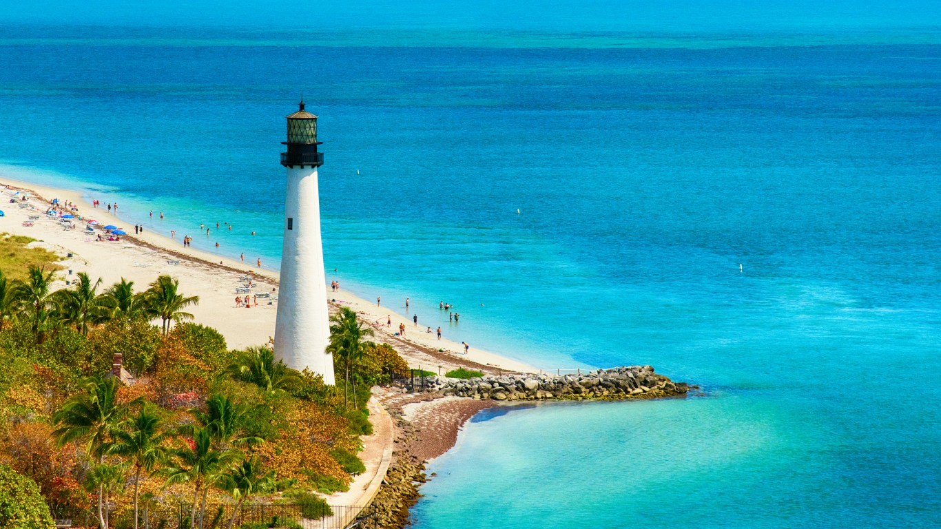
23. Key Biscayne, Florida
> Population with homes at risk of flooding in 2060: 4,302 (34.7%)
> Population with homes at risk of flooding in 2100: 9,700 (78.3%)
> Habitable land that will be underwater by 2060: 50.6%
> Habitable land that will be underwater by 2100: 86.3%
> Current property value at risk in 2060: $2.6 billion
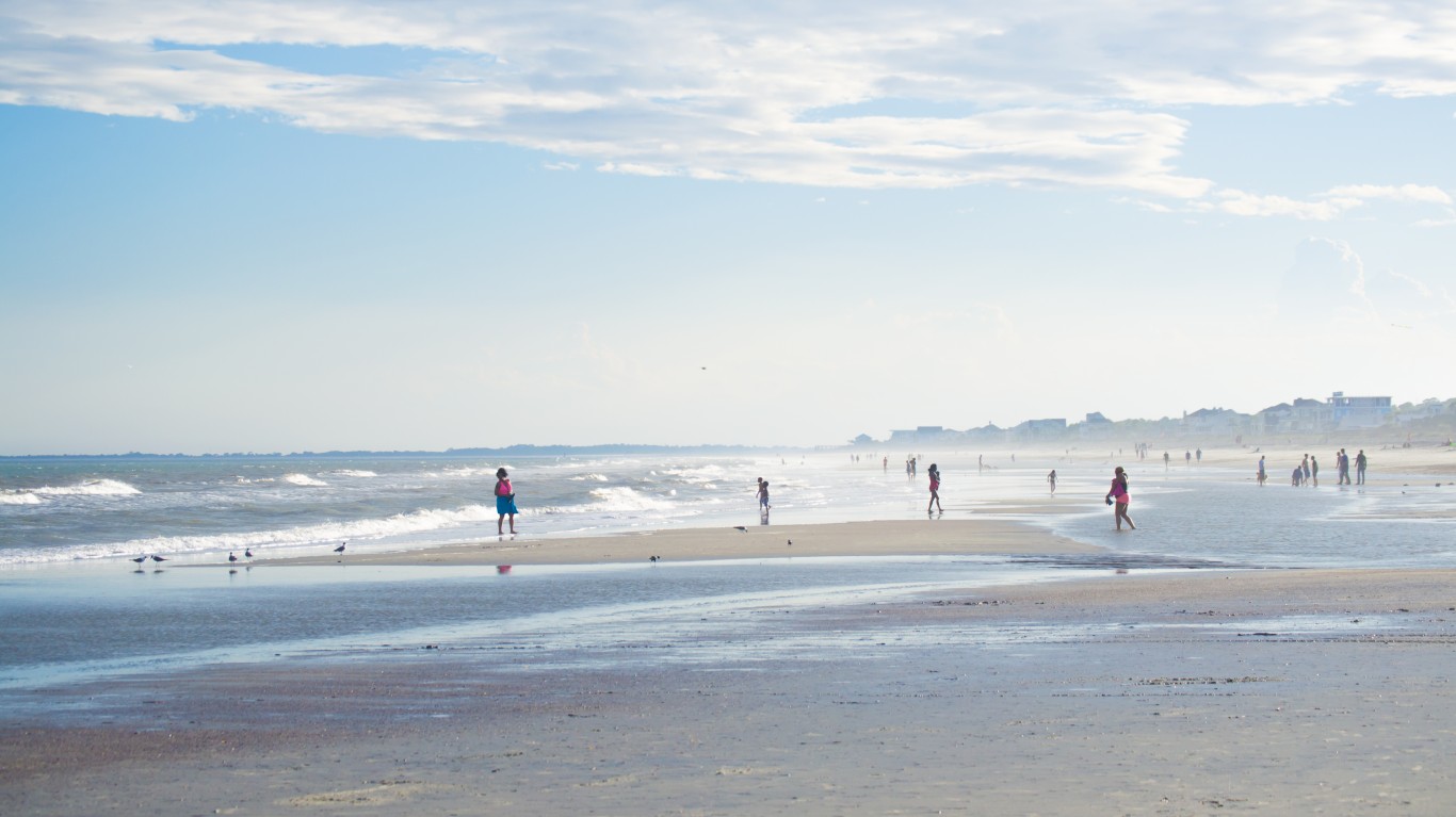
22. James Island, South Carolina
> Population with homes at risk of flooding in 2060: 4,405 (11.5%)
> Population with homes at risk of flooding in 2100: 20,457 (53.5%)
> Habitable land that will be underwater by 2060: 27.4%
> Habitable land that will be underwater by 2100: 68.4%
> Current property value at risk in 2060: $899 million
[in-text-ad-2]
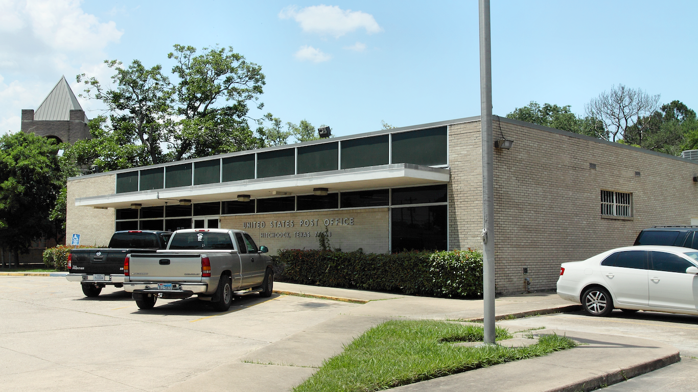
21. La Marque-Hitchcock, Texas
> Population with homes at risk of flooding in 2060: 4,576 (20.4%)
> Population with homes at risk of flooding in 2100: 6,781 (30.3%)
> Habitable land that will be underwater by 2060: 19.7%
> Habitable land that will be underwater by 2100: 46.3%
> Current property value at risk in 2060: $591 million
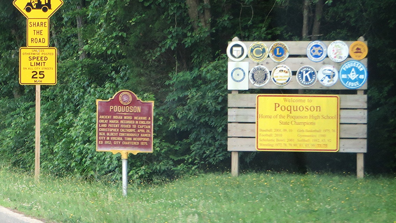
20. Poquoson, Virginia
> Population with homes at risk of flooding in 2060: 4,646 (38.2%)
> Population with homes at risk of flooding in 2100: 10,888 (89.6%)
> Habitable land that will be underwater by 2060: 49.8%
> Habitable land that will be underwater by 2100: 98.3%
> Current property value at risk in 2060: $518 million
[in-text-ad]
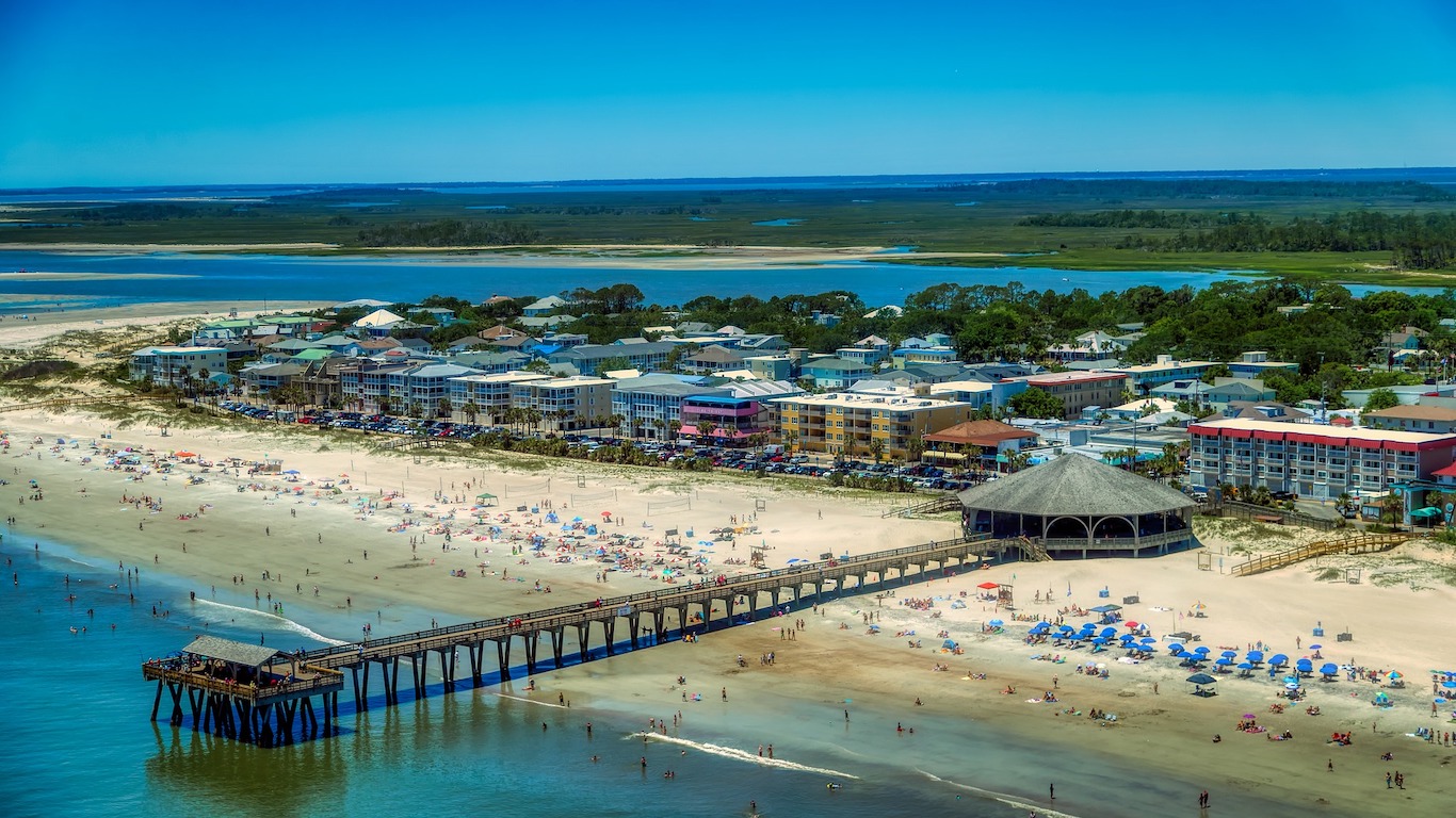
19. Tybee Island-Wilmington Island, Georgia
> Population with homes at risk of flooding in 2060: 4,679 (17.4%)
> Population with homes at risk of flooding in 2100: 13,142 (48.7%)
> Habitable land that will be underwater by 2060: 32.9%
> Habitable land that will be underwater by 2100: 70.4%
> Current property value at risk in 2060: $915 million
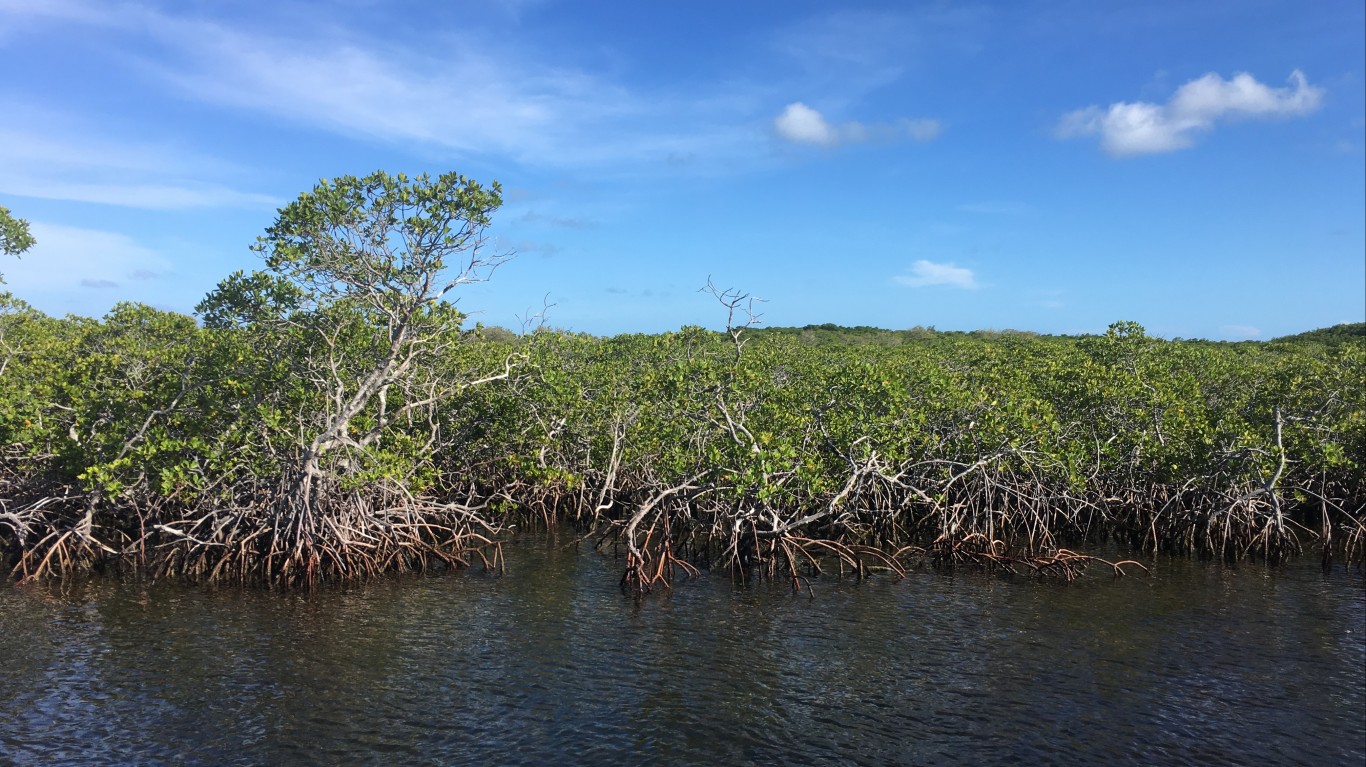
18. Middle Keys, Florida
> Population with homes at risk of flooding in 2060: 4,720 (47.0%)
> Population with homes at risk of flooding in 2100: 7,756 (77.3%)
> Habitable land that will be underwater by 2060: 67.8%
> Habitable land that will be underwater by 2100: 98.1%
> Current property value at risk in 2060: $2.0 billion
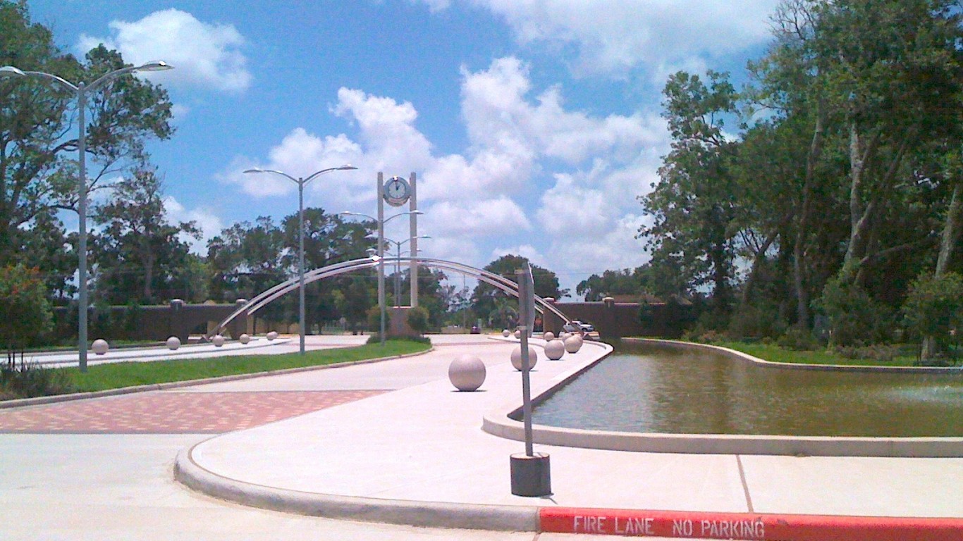
17. Brazosport, Texas
> Population with homes at risk of flooding in 2060: 4,859 (8.1%)
> Population with homes at risk of flooding in 2100: 6,547 (10.9%)
> Habitable land that will be underwater by 2060: 32.3%
> Habitable land that will be underwater by 2100: 69.8%
> Current property value at risk in 2060: $345 million
[in-text-ad-2]

16. Ventnor City, New Jersey
> Population with homes at risk of flooding in 2060: 4,916 (46.2%)
> Population with homes at risk of flooding in 2100: 8,326 (78.2%)
> Habitable land that will be underwater by 2060: 53.9%
> Habitable land that will be underwater by 2100: 98.9%
> Current property value at risk in 2060: $850 million
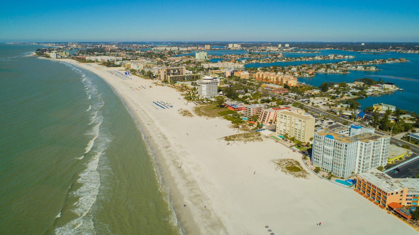
15. St. Pete Beach, Florida
> Population with homes at risk of flooding in 2060: 5,008 (31.5%)
> Population with homes at risk of flooding in 2100: 14,056 (88.4%)
> Habitable land that will be underwater by 2060: 50.5%
> Habitable land that will be underwater by 2100: 99.5%
> Current property value at risk in 2060: $1.6 billion
[in-text-ad]
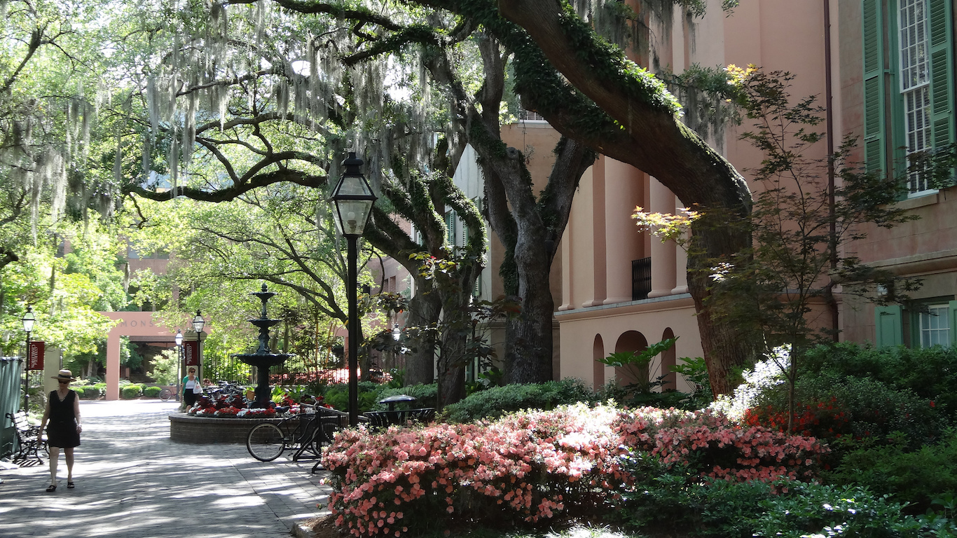
14. Charleston Central, South Carolina
> Population with homes at risk of flooding in 2060: 5,122 (14.8%)
> Population with homes at risk of flooding in 2100: 12,510 (36.1%)
> Habitable land that will be underwater by 2060: 25.5%
> Habitable land that will be underwater by 2100: 58.0%
> Current property value at risk in 2060: $2.1 billion
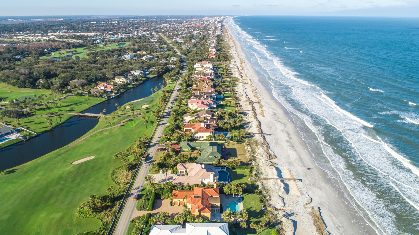
13. Ponte Vedra, Florida
> Population with homes at risk of flooding in 2060: 5,649 (20.8%)
> Population with homes at risk of flooding in 2100: 15,684 (57.8%)
> Habitable land that will be underwater by 2060: 21.6%
> Habitable land that will be underwater by 2100: 43.3%
> Current property value at risk in 2060: $1.4 billion
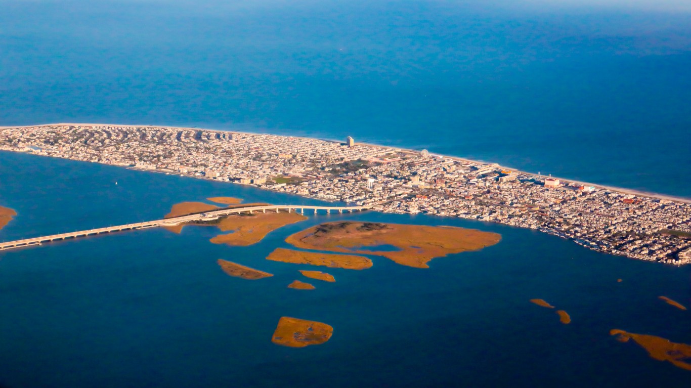
12. Ocean City, New Jersey
> Population with homes at risk of flooding in 2060: 6,028 (51.5%)
> Population with homes at risk of flooding in 2100: 10,348 (88.4%)
> Habitable land that will be underwater by 2060: 58.9%
> Habitable land that will be underwater by 2100: 98.3%
> Current property value at risk in 2060: $5.7 billion
[in-text-ad-2]

11. Boca Ciega, Florida
> Population with homes at risk of flooding in 2060: 6,810 (10.2%)
> Population with homes at risk of flooding in 2100: 20,733 (31.1%)
> Habitable land that will be underwater by 2060: 10.5%
> Habitable land that will be underwater by 2100: 23.7%
> Current property value at risk in 2060: $1.4 billion
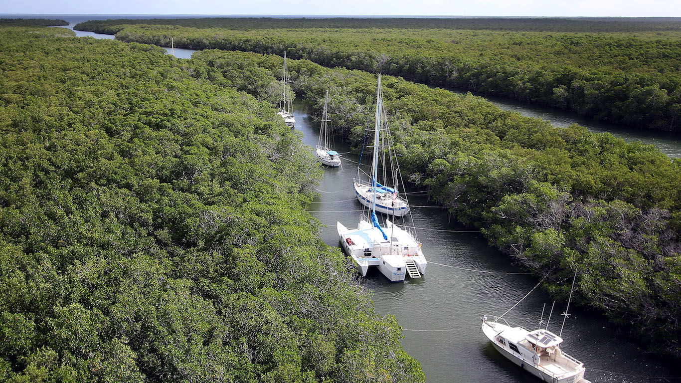
10. Upper Keys, Florida
> Population with homes at risk of flooding in 2060: 6,992 (35.0%)
> Population with homes at risk of flooding in 2100: 12,664 (63.4%)
> Habitable land that will be underwater by 2060: 40.4%
> Habitable land that will be underwater by 2100: 77.4%
> Current property value at risk in 2060: $3.8 billion
[in-text-ad]
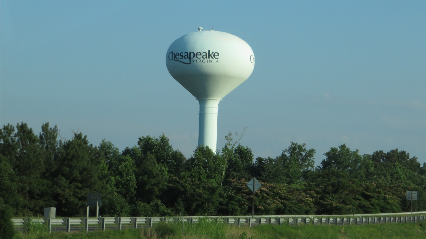
9. Chesapeake, Virginia
> Population with homes at risk of flooding in 2060: 7,325 (3.3%)
> Population with homes at risk of flooding in 2100: 41,870 (18.8%)
> Habitable land that will be underwater by 2060: 47.5%
> Habitable land that will be underwater by 2100: 98.3%
> Current property value at risk in 2060: $668 million
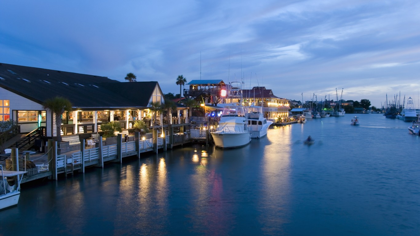
8. Mount Pleasant, South Carolina
> Population with homes at risk of flooding in 2060: 8,389 (10.6%)
> Population with homes at risk of flooding in 2100: 35,299 (44.7%)
> Habitable land that will be underwater by 2060: 21.0%
> Habitable land that will be underwater by 2100: 53.3%
> Current property value at risk in 2060: $2.6 billion
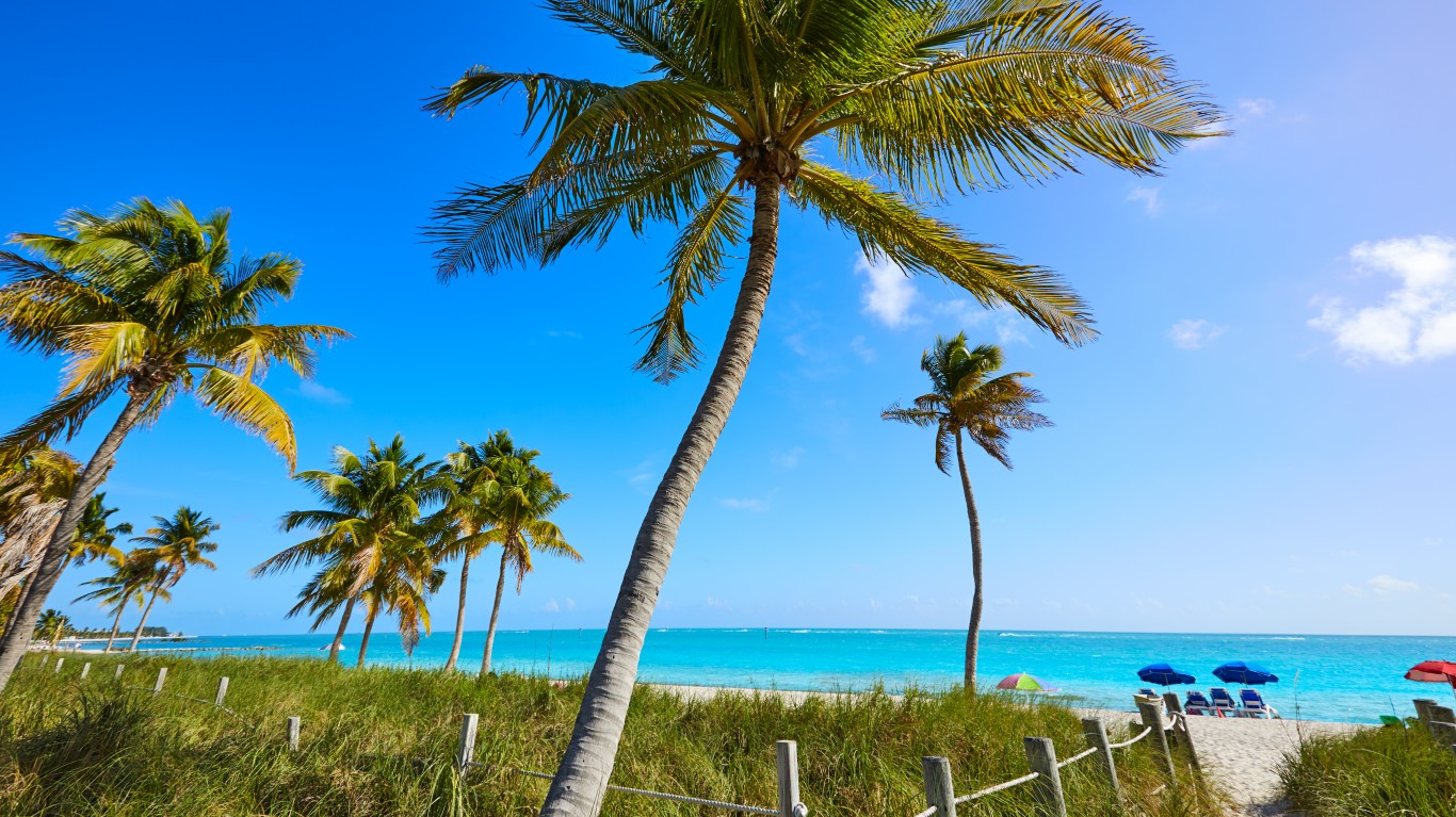
7. Lower Keys, Florida
> Population with homes at risk of flooding in 2060: 8,630 (81.0%)
> Population with homes at risk of flooding in 2100: 9,767 (91.7%)
> Habitable land that will be underwater by 2060: 84.6%
> Habitable land that will be underwater by 2100: 97.9%
> Current property value at risk in 2060: $2.6 billion
[in-text-ad-2]
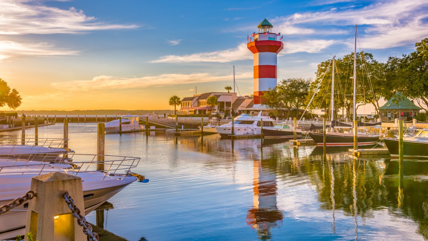
6. Hilton Head Island, South Carolina
> Population with homes at risk of flooding in 2060: 8,935 (23.6%)
> Population with homes at risk of flooding in 2100: 22,341 (59.1%)
> Habitable land that will be underwater by 2060: 25.6%
> Habitable land that will be underwater by 2100: 57.6%
> Current property value at risk in 2060: $4.6 billion
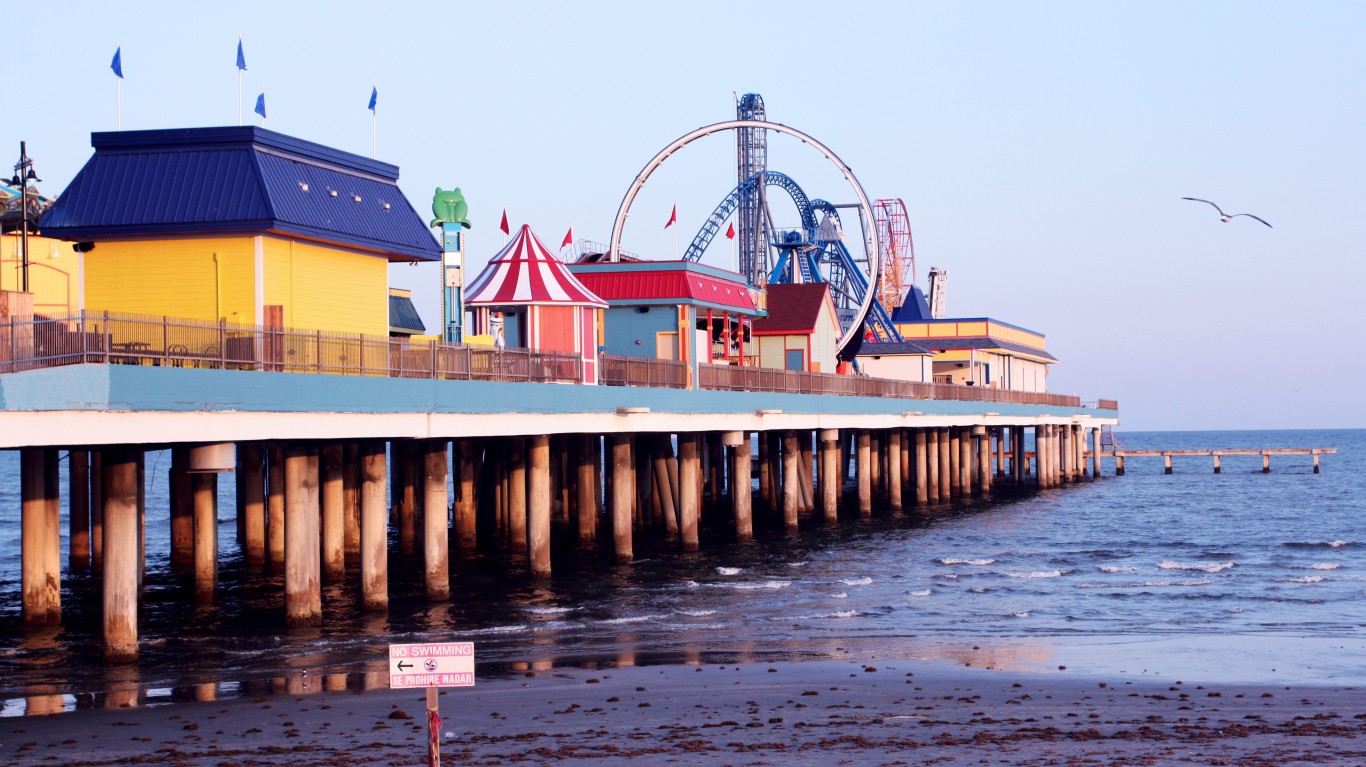
5. Galveston, Texas
> Population with homes at risk of flooding in 2060: 10,293 (21.1%)
> Population with homes at risk of flooding in 2100: 30,045 (61.7%)
> Habitable land that will be underwater by 2060: 45.1%
> Habitable land that will be underwater by 2100: 90.0%
> Current property value at risk in 2060: $2.1 million
[in-text-ad]
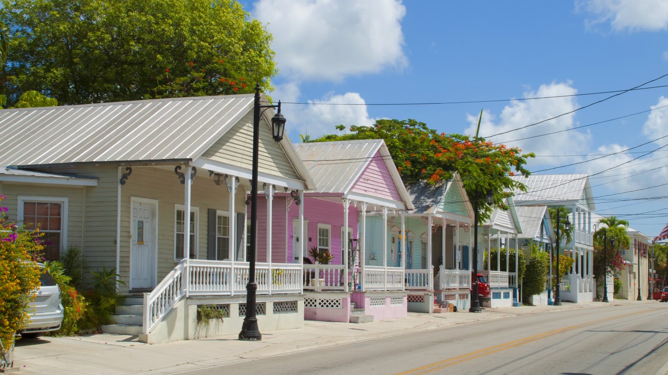
4. Key West, Florida
> Population with homes at risk of flooding in 2060: 11,645 (35.9%)
> Population with homes at risk of flooding in 2100: 17,693 (54.6%)
> Habitable land that will be underwater by 2060: 62.6%
> Habitable land that will be underwater by 2100: 94.4%
> Current property value at risk in 2060: $3.2 billion
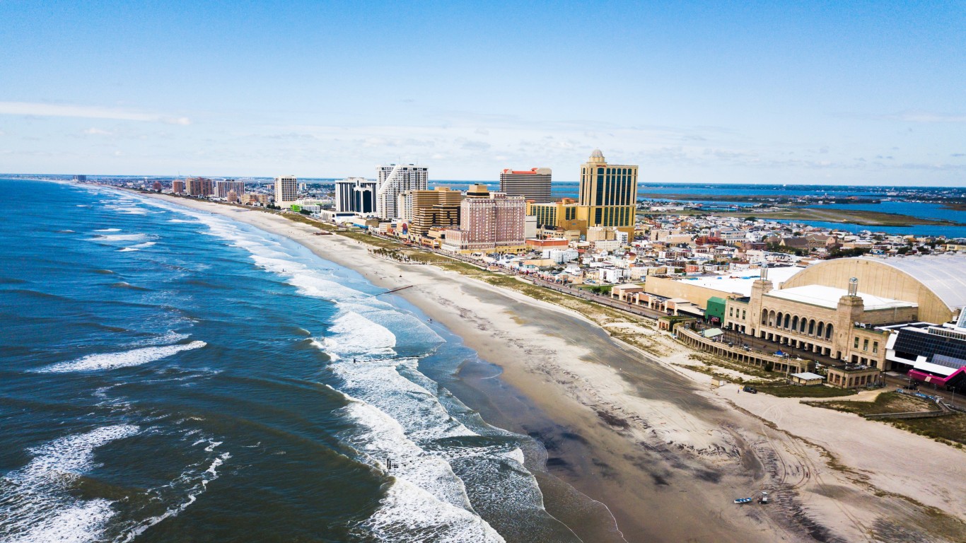
3. Atlantic City, New Jersey
> Population with homes at risk of flooding in 2060: 13,687 (34.6%)
> Population with homes at risk of flooding in 2100: 21,373 (54.0%)
> Habitable land that will be underwater by 2060: 50.2%
> Habitable land that will be underwater by 2100: 92.8%
> Current property value at risk in 2060: $1.1 billion
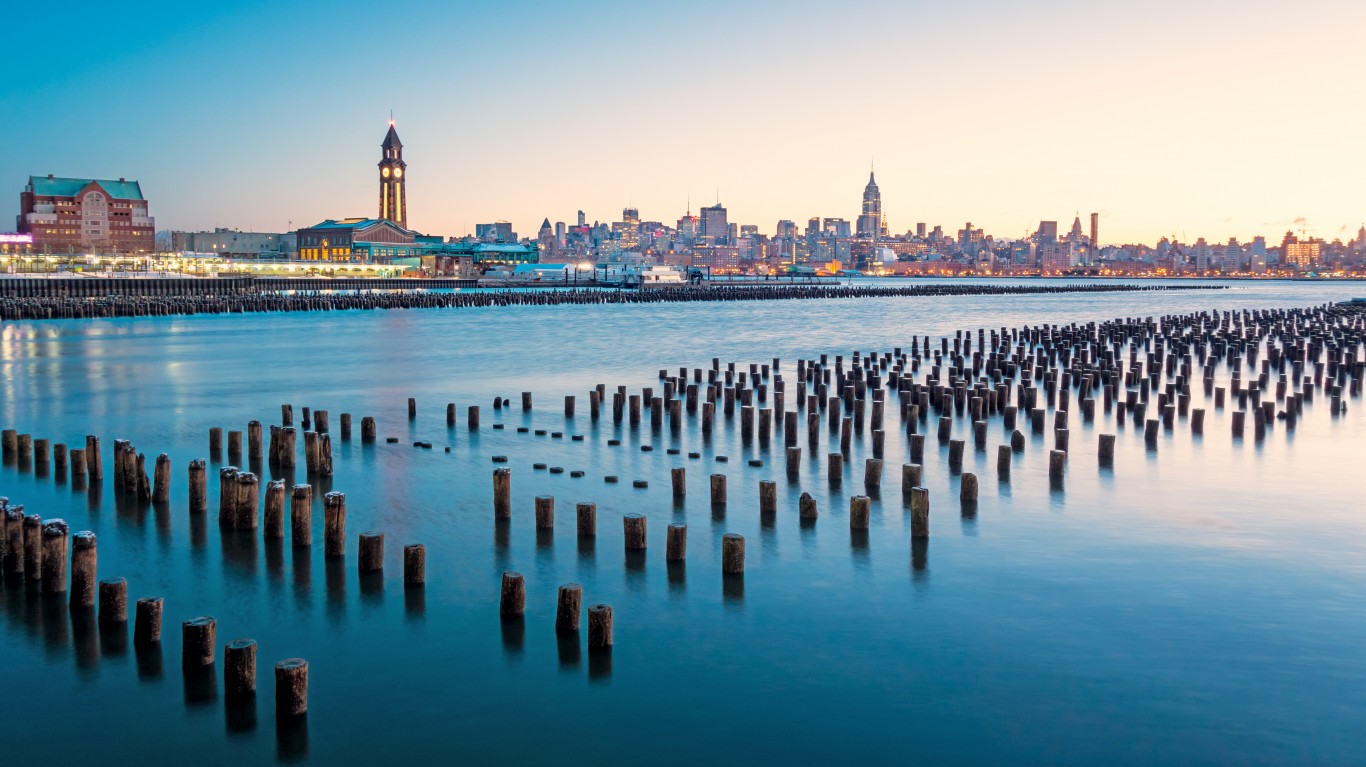
2. Hoboken, New Jersey
> Population with homes at risk of flooding in 2060: 14,747 (29.5%)
> Population with homes at risk of flooding in 2100: 21,814 (43.6%)
> Habitable land that will be underwater by 2060: 49.8%
> Habitable land that will be underwater by 2100: 71.3%
> Current property value at risk in 2060: $4.5 billion
[in-text-ad-2]
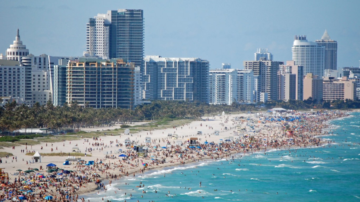
1. Miami Beach, Florida
> Population with homes at risk of flooding in 2060: 39,547 (30.2%)
> Population with homes at risk of flooding in 2100: 97,375 (74.5%)
> Habitable land that will be underwater by 2060: 58.5%
> Habitable land that will be underwater by 2100: 94.1%
> Current property value at risk in 2060: $19.3 billion
Methodology
To identify the cities that will soon be under water, 24/7 Wall St. reviewed data from “Underwater,” published June 2018 by Cambridge, Massachusetts-based environmental watchdog group the Union of Concerned Scientists. The study identified U.S. coastal communities where the largest number of residents live in properties that are projected to face by 2060 the highest level of chronic and disruptive flooding, or effective inundation — defined as being at risk of flooding 26 times or more per year. We reviewed the number of properties and total value of properties that are exposed to flood risk based on a “high” scenario calculated by the Union for Concerned Scientists, which entails a 6.6 foot rise in sea level by the end of the century. The places on our list, which are county subdivisions, are those in which the largest number of residents live in housing that would be exposed to the effective inundation.
Cities and institutions can mitigate flood damage by implementing wetlands, levees, and other mechanisms, and many of the cities on this list have taken steps to implement these measures. It is important to note that the estimates published by the UCS do not take into account the mitigating effects of such mechanisms.
Thank you for reading! Have some feedback for us?
Contact the 24/7 Wall St. editorial team.