Special Report
These Are the Places Most Likely to Have Wildfires
Published:
Last Updated:

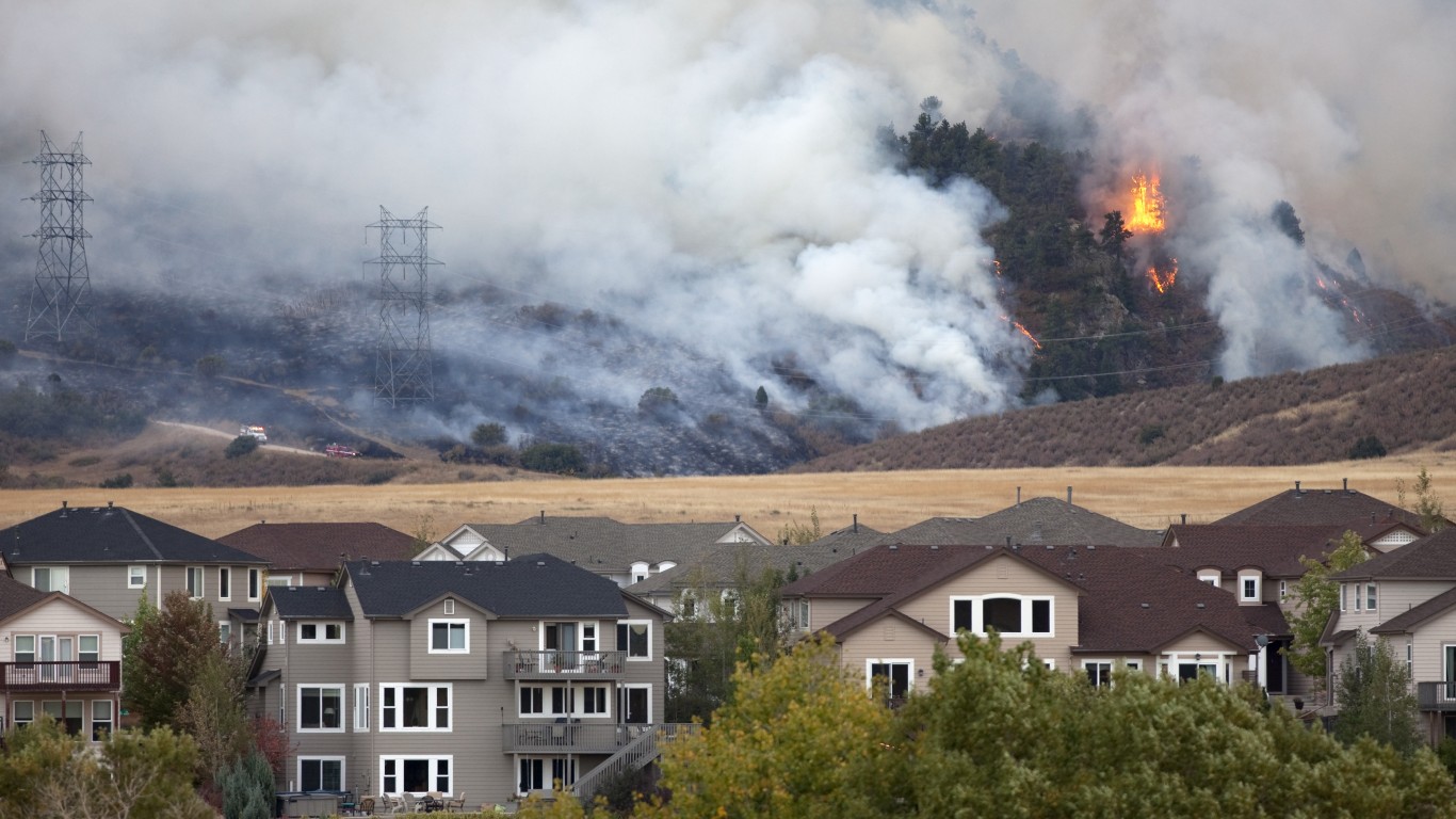
Since January, nearly 32,000 wildfires have scorched more 3.3 million acres in the U.S., the National Interagency Fire Center estimates. Currently, 50 active fires are burning across 1.7 million acres. Sadly, the agency says nine of out 10 wildfires are human-caused and therefore preventable. (These are the 30 most destructive wildfires in the U.S. this century.)
Nationally, more than 71.8 million homes are at risk of a fire hazard, reports Risk Factor, an online tool from the nonprofit First Street Foundation that assesses a property’s risk from environmental threat such as fire or flooding.
Not every area in the nation carries the same fire risk. Some counties and states are more prone to wildfires than others, with western states including California, Texas, and Arizona disproportionately at higher risk. To determine the places most likely to have wildfires, 24/7 Wall St. reviewed the National Risk Assessment from climate risk assessment advocacy group First Street Foundation. U.S. counties were ranked based on the percentage of properties with at least a 0.03% risk of burning in 2022.
Based on First Street Foundation’s most recent evaluation, portions of Texas and New Mexico are most vulnerable to a wildfire. Seven high-risk counties are in Texas, followed closely by six in New Mexico. (This is the state where temperature is rising the fastest.)
New Mexico is currently fighting three fires burning 671,493 acres, the National Interagency Fire Center notes. One fire in Texas is scorching 500 acres. Although not on this list, there are 30 large fires in Alaska across 925,548 acres.
These fire-borne disasters take a huge human and financial toll. According to risk assessment firm Aon, insured losses from wildfires in three of the past four years – 2017, 2018, and 2020 – have exceeded more than $12 billion in the U.S.
In 2021, 58,968 wildfires burned 7.1 million acres, the Congressional Research Service reported in June. The blazes led to the deaths of 15 firefighters and 33 civilians through October 2021. And just in mid-April, an elderly couple perished in the McBride wildfire in Ruidoso, New Mexico, Reuters reported.
Click here to see the places most likely to have wild fires
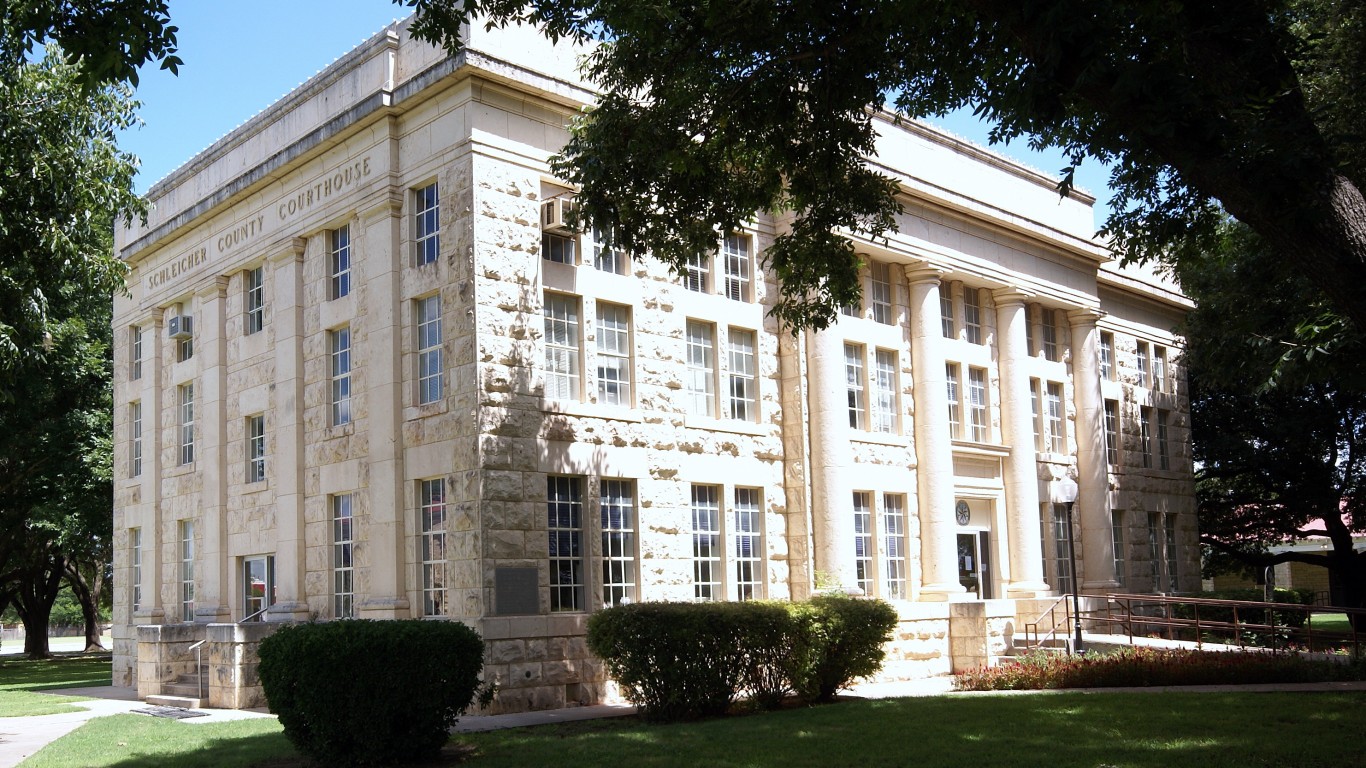
20. Schleicher County, Texas
> Pct. of properties at risk: 96.5%
> Total properties at risk: 4,100
> Largest city in the county: Eldorado
[in-text-ad]
19. Coryell County, Texas
> Pct. of properties at risk: 96.5%
> Total properties at risk: 28,200
> Largest city in the county: Copperas Cove
Fueled by grass and brush, about 33,000 acres were on fire near Fort Hood military base in late March. Soon after the blaze started, firefighters quelled the blaze by 55%. A New York Times report said no evacuations were ordered and the fire posed no threat to residents or buildings. As for a possible cause, the Times reported the wildfire may have been started by soldiers live-training with small arms on weapons ranges or mortar training.
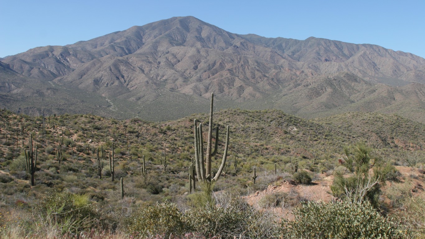
18. Gila County, Arizona
> Pct. of properties at risk: 96.5%
> Total properties at risk: 31,400
> Largest city in the county: Payson
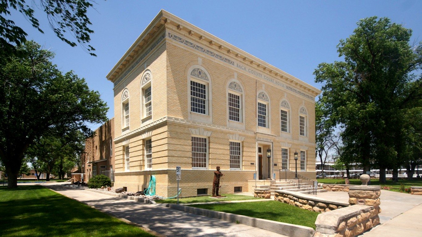
17. Baca County, Colorado
> Pct. of properties at risk: 96.6%
> Total properties at risk: 600
> Largest city in the county: Springfield
Sprouting up near a number of highways in Baca County, wildfires burned across 1,200 acres in mid-May. According to local reports, the fires were soon brought under control.
[in-text-ad-2]
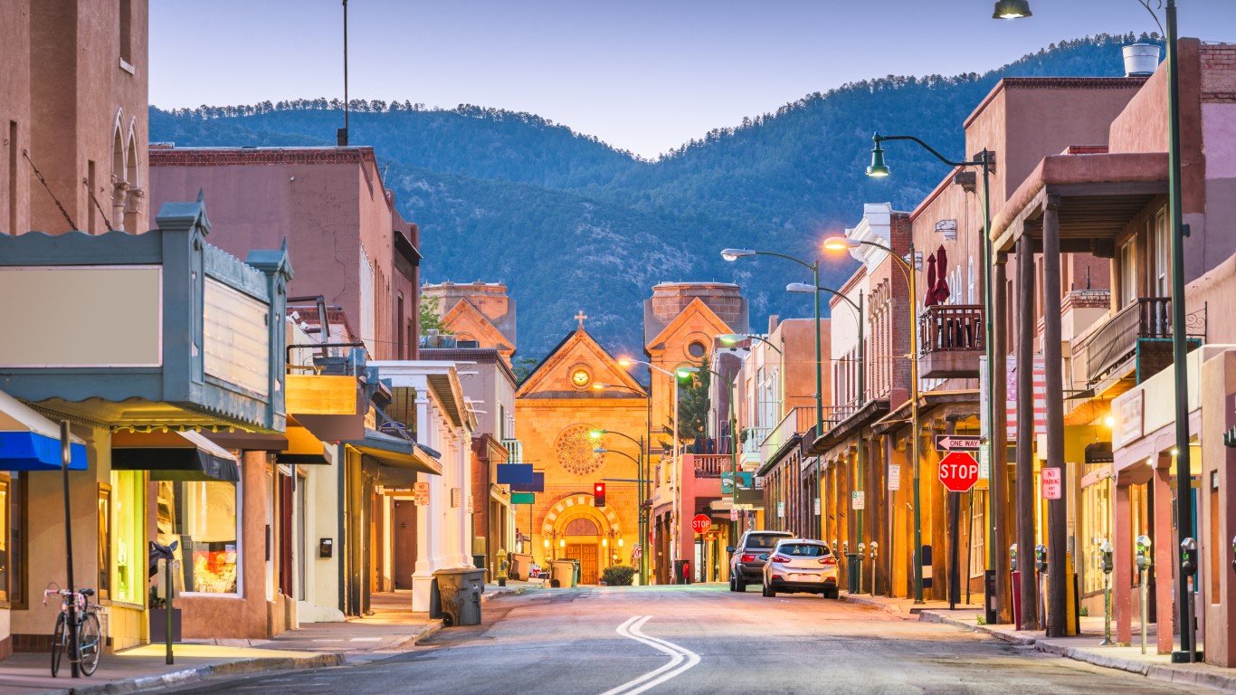
16. Santa Fe County, New Mexico
> Pct. of properties at risk: 96.6%
> Total properties at risk: 74,500
> Largest city in the county: Santa Fe
The largest wildfire recorded in the state’s history started in June, when the U.S. Forest Service set several prescribed burns, a method to clear out combustible brush. However, the fire leaped out of control, spreading to 500 square miles and destroying hundreds of homes. President Joe Biden visited the area and promised expedited federal aid to pay for emergency response and debris removal.
15. McPherson County, Nebraska
> Pct. of properties at risk: 96.9%
> Total properties at risk: 1,600
> Largest city in the county: N/A
[in-text-ad]
14. Winkler County, Texas
> Pct. of properties at risk: 96.9%
> Total properties at risk: 6,100
> Largest city in the county: Kermit

13. Carson City, Nevada
> Pct. of properties at risk: 96.9%
> Total properties at risk: 19,600
12. Kimble County, Texas
> Pct. of properties at risk: 97.1%
> Total properties at risk: 8,600
> Largest city in the county: Junction
[in-text-ad-2]
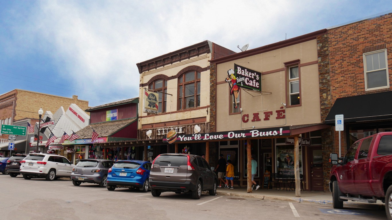
11. Custer County, South Dakota
> Pct. of properties at risk: 97.3%
> Total properties at risk: 12,500
> Largest city in the county: Custer
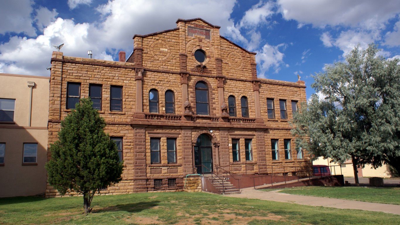
10. Guadalupe County, New Mexico
> Pct. of properties at risk: 97.5%
> Total properties at risk: 700
> Largest city in the county: Santa Rosa
[in-text-ad]
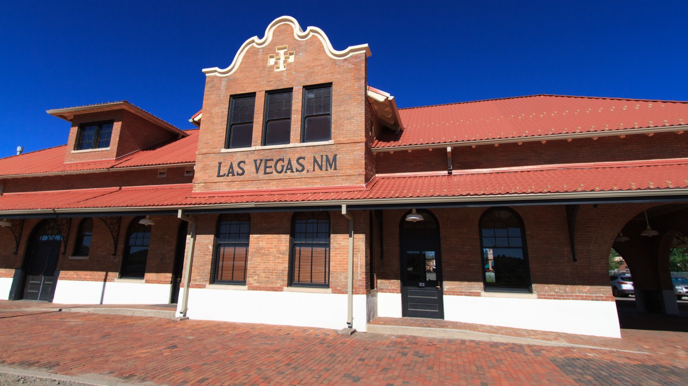
9. San Miguel County, New Mexico
> Pct. of properties at risk: 97.7%
> Total properties at risk: 28,100
> Largest city in the county: Las Vegas
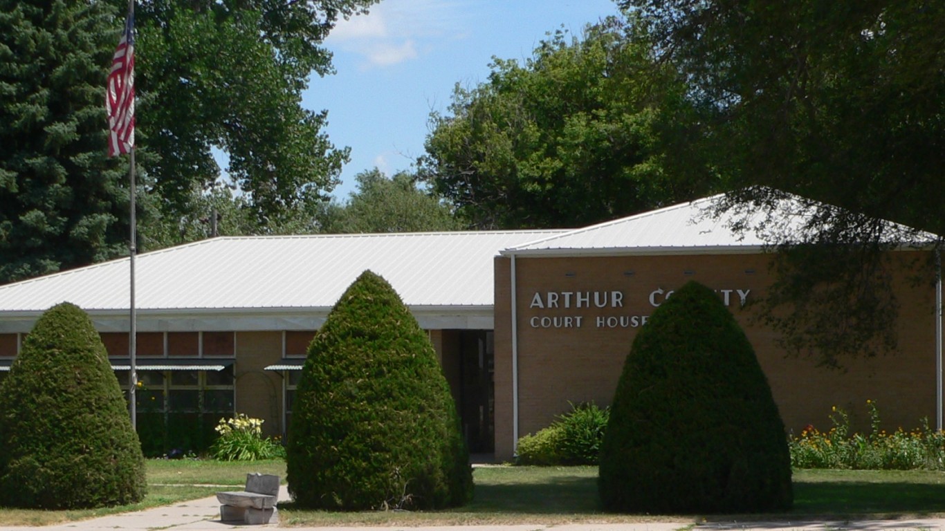
8. Arthur County, Nebraska
> Pct. of properties at risk: 97.8%
> Total properties at risk: 1,100
> Largest city in the county: Arthur
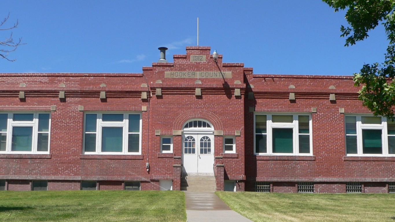
7. Hooker County, Nebraska
> Pct. of properties at risk: 97.8%
> Total properties at risk: 1,800
> Largest city in the county: Mullen
[in-text-ad-2]
6. Menard County, Texas
> Pct. of properties at risk: 97.8%
> Total properties at risk: 5,000
> Largest city in the county: Menard
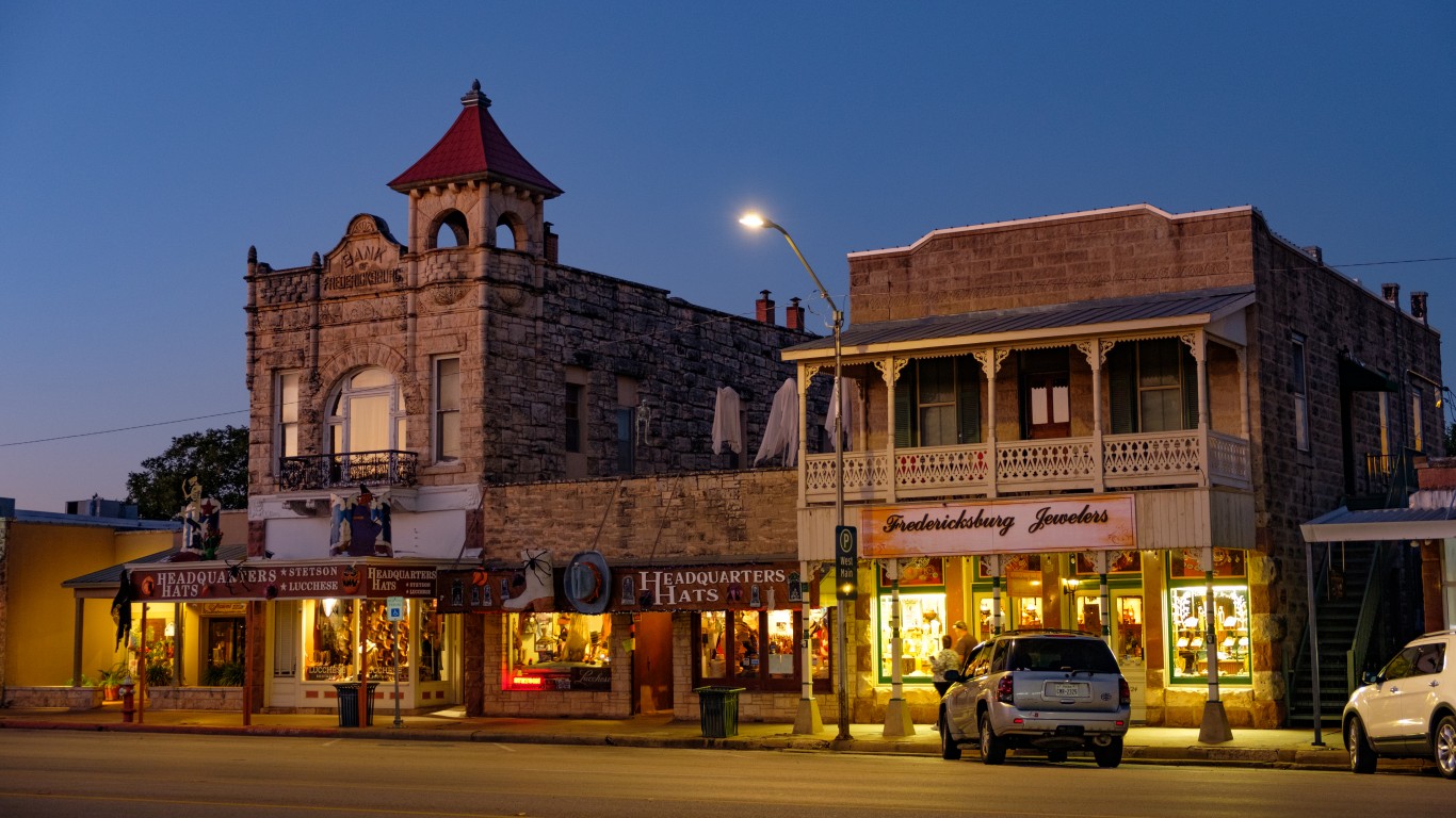
5. Gillespie County, Texas
> Pct. of properties at risk: 97.9%
> Total properties at risk: 27,000
> Largest city in the county: Fredericksburg
The Gillespie County Commissioners Court instituted a burn ban in late March, prohibiting residents from outdoor burning. Hot, dry conditions and no significant rainfall increased the risk of a wildfire, local officials said.
[in-text-ad]
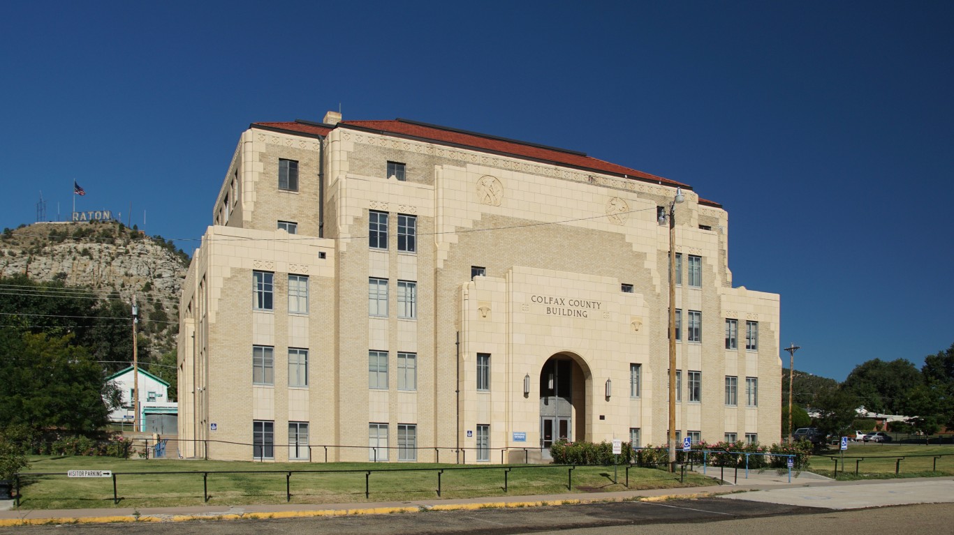
4. Colfax County, New Mexico
> Pct. of properties at risk: 97.9%
> Total properties at risk: 24,100
> Largest city in the county: Raton
In mid-May, the Calf Canyon/Hermit’s Peak wildfire covered 260,000 acres with containment estimated at 29%. The blaze prompted mandatory evacuation orders for residents in the communities of Black Lake and Hidden Lake in Colfax County.
3. Harding County, New Mexico
> Pct. of properties at risk: 98.0%
> Total properties at risk: 5,200
> Largest city in the county: Roy

2. Mason County, Texas
> Pct. of properties at risk: 98.8%
> Total properties at risk: 6,300
> Largest city in the county: Mason
[in-text-ad-2]
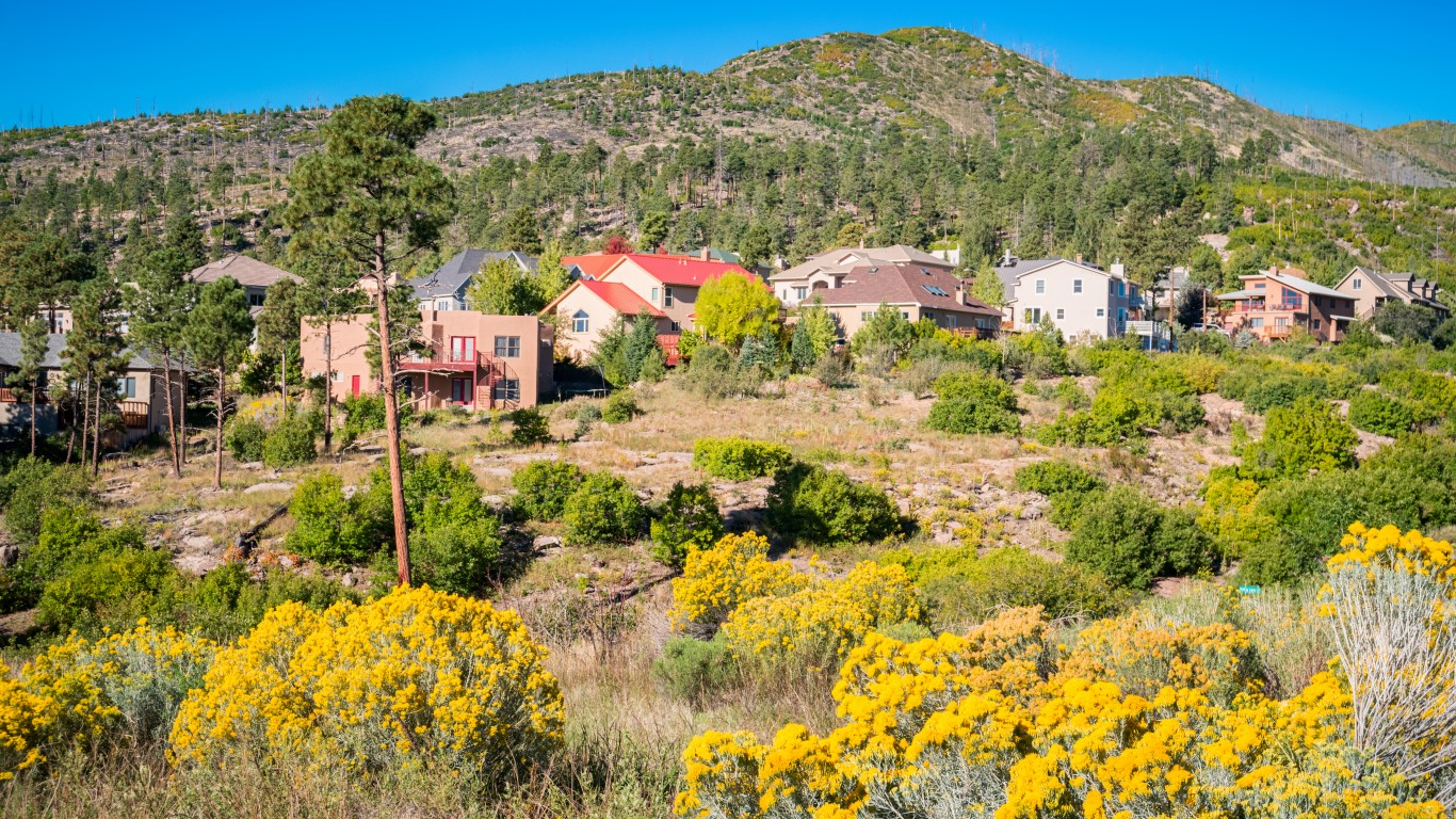
1. Los Alamos County, New Mexico
> Pct. of properties at risk: 98.9%
> Total properties at risk: 8,300
> Largest city in the county: Los Alamos
If you missed out on NVIDIA’s historic run, your chance to see life-changing profits from AI isn’t over.
The 24/7 Wall Street Analyst who first called NVIDIA’s AI-fueled rise in 2009 just published a brand-new research report named “The Next NVIDIA.”
Click here to download your FREE copy.
Thank you for reading! Have some feedback for us?
Contact the 24/7 Wall St. editorial team.