The United States is a dangerous place to drive. Road fatalities have been on the rise in the U.S., despite declining in most comparably developed countries, including Mexico, the Czech Republic, and Australia.
The Organization for Economic Cooperation and Development found that road fatalities in 2020 grew compared to the average number of road deaths in the three previous years only in the U.S., Switzerland, and Ireland. Compared to Europe, where many EU countries have had double-digit declines in road deaths, U.S. drivers are committing carnage.
Nearly 43,000 people died on U.S. roads in 2021, according to the National Highway Traffic Safety Administration, a 10% increase from the year before, when road fatalities were nearly 39,000.
Part of the reasons for these high casualty rates include the expanse of the United States, its intractable car culture, and growing consumer demand for larger, heavier SUVs and pickup trucks that are more likely to injure pedestrians and those riding in smaller vehicles. Some roads are also considerably more dangerous than others. (Here are states where the most pedestrians are killed by cars.)
24/7 Wall St. reviewed the report “The Most Dangerous Roads in America,” published by the American Automobile Association. The 12 interstates, roads, and highways, are listed in alphabetical order, by name of road.
Among the list of most dangerous roads in the United States are highways where drivers tend to speed, one of the basic risk factors in road collisions.
The most dangerous roads in America include well traveled routes like I-45 that connects Dallas to Houston and the Atlanta I-285 ring road, as well as remote and treacherous highways such as Alaska’s Dalton Highway, featured in the reality TV series “Ice Road Truckers.”
These risky routes also include the scenic byways of Route 550 in Colorado’s San Juan Mountains and Maui’s road to the town of Hana, marked by frequent curves and narrow bridges. Two of the dozen most dangerous roads in the country are in Florida. (Find out if Florida is among the states where the most people have died in car accidents this year.)
Here are 12 of the most dangerous roads in America, according to AAA.
1. Dalton Highway
> State: Alaska
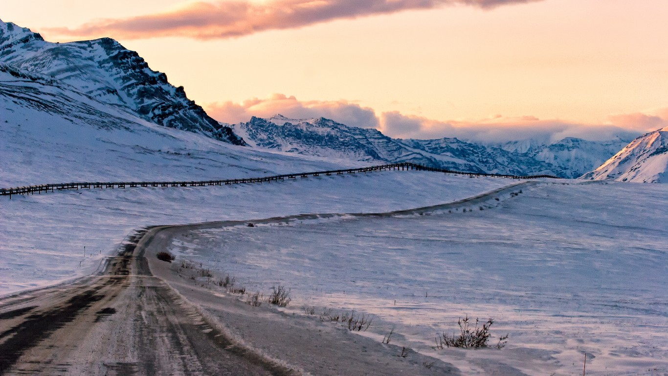
Called by some “the loneliest road on Earth,” Alaska’s Dalton Highway was featured prominently in four seasons of the History Channel’s “Ice Road Truckers” reality TV series. The road is considered one of the country’s most dangerous due to the challenges of driving the 414-mile stretch of Alaska’s wintery wilderness of tundra and forests between Fairbanks and Deadhorse, a village on Alaska’s oil-rich North Slope. Emergency response to accidents on this highway can take a long time considering there are only three towns along the route, including an icy 240 miles with no gas station or rest stop.
[in-text-ad]
2. I-10
> State: Arizona
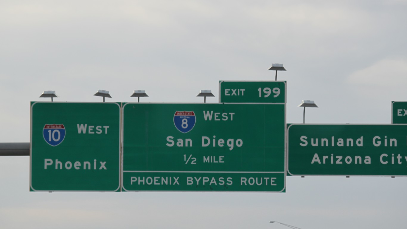
The Arizona portion of the southernmost cross-country highway in the United States, which connects Santa Monica, California, to Jacksonville, Florida, is one of the most hazardous stretches of interstate in the country. The main reasons for the dangers are heavy commuter traffic between Tucson and Phoenix, a lack of guardrails and center barriers, the long straights of highway that encourage aggressive driving at high speeds, and a high incidence of drunk driving.
3. Million Dollar Highway
> State: Colorado
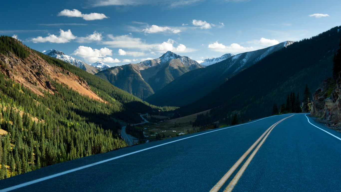
U.S. Route 550 runs from Bernalillo, New Mexico, north of Albuquerque, to Montrose, in western Colorado, a 370-mile spur of Highway 50 that runs through the Navajo Nation and the Rio Grande National Forest. A 42-mile stretch of this route between the Colorado towns of Silverton and Ouray winds up the San Juan Mountains to 11,000 feet above sea level, with no guardrails and a constant risk of rockslides.
There are several explanations for the name. One is that an early traveler insisted he would never travel it again, even if he was paid a million dollars. Another is that the construction of the road in the 1930s cost $1 million per mile.
4. U.S. Route 1
> State: Florida
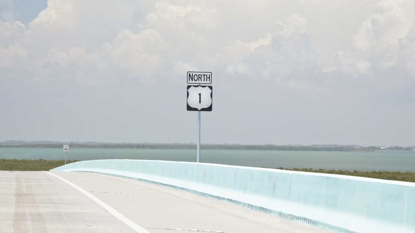
The American Automobile Association cited a recent study saying 17 of the 100 deadliest roads in the country are in the country’s most tropical state. Florida contains a portion of U.S. Route 1, which runs from Key West northward to Fort Kent, Maine, over 2,370 miles. Two segments are considered among the most dangerous and are near the top in road fatalities, thanks in part to its long straights that encourage fast and reckless driving.
[in-text-ad-2]

5. I-4
> State: Florida
I-4 is one of two of the routes on this list located in Florida. The interstate runs between Tampa and Daytona Beach, two major party cities in the Sunshine State. The route also runs through Orlando, home to the Walt Disney World Resort. Some say one explanation for the high incidence of crashes on this highway is the large influx of tourists to all three of these cities who drive in unfamiliar areas, leading to distractions as drivers refer to their GPS to get to their destinations. Florida is also one of the states that does not ban the use of hand-held mobile phones while driving (in most zones).
6. I-285
> State: Georgia
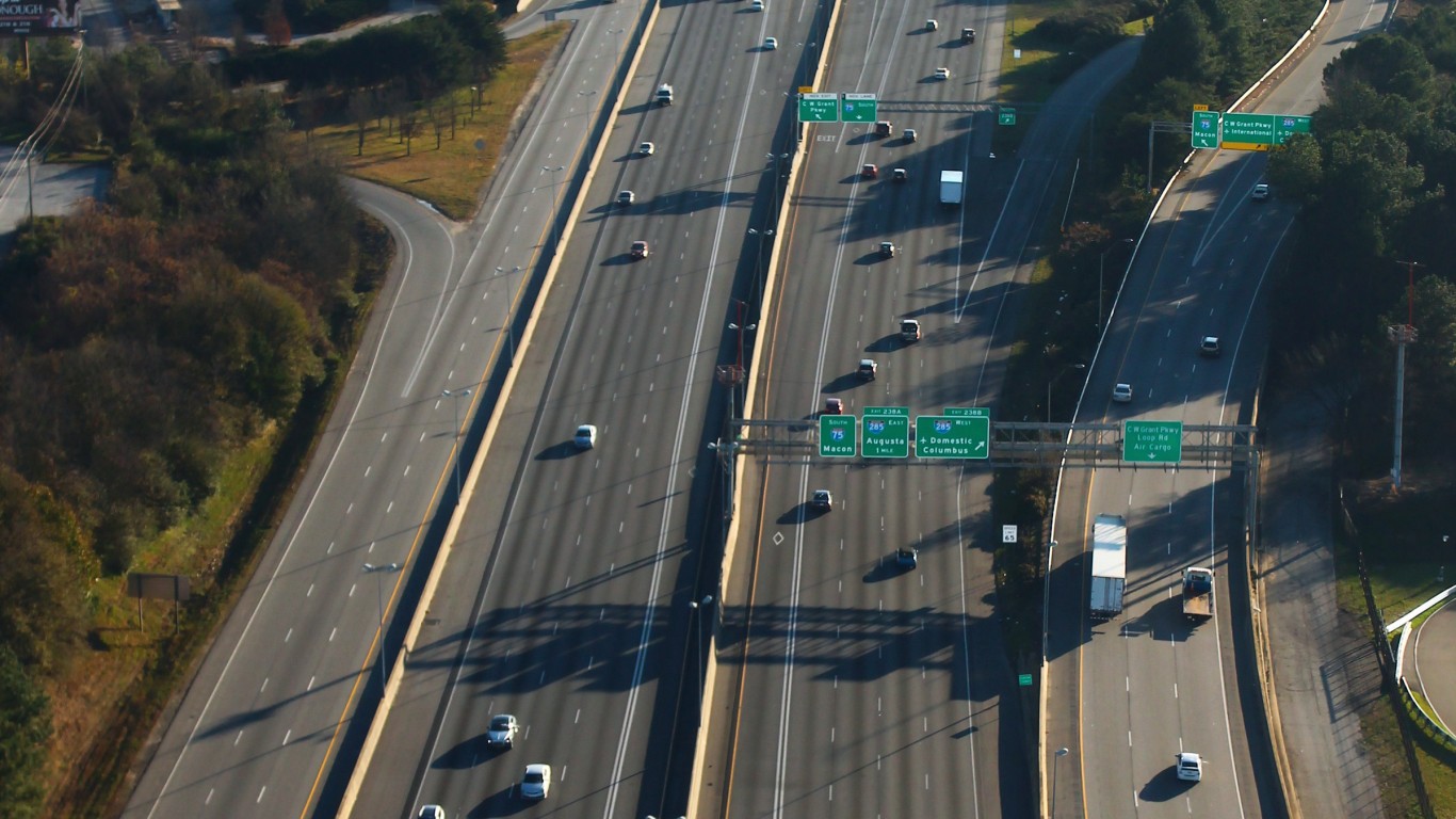
Known as “the Perimeter,” Interstate 285 is Atlanta’s ring road, a traffic-choked 64-mile loop in a metropolitan zone of 5.6 million people. This southern urban beltway is not only used by millions of commuters, but also connects to several interstate and regional highways, creating an ideal environment for frequent collisions. In 2015, the news site Vox estimated the ring road’s fatality rate of 3.5 deaths every 10 miles, which at the time made it the country’s most dangerous stretch of interstate highway.
[in-text-ad]
7. Road to Hana
> State: Hawaii
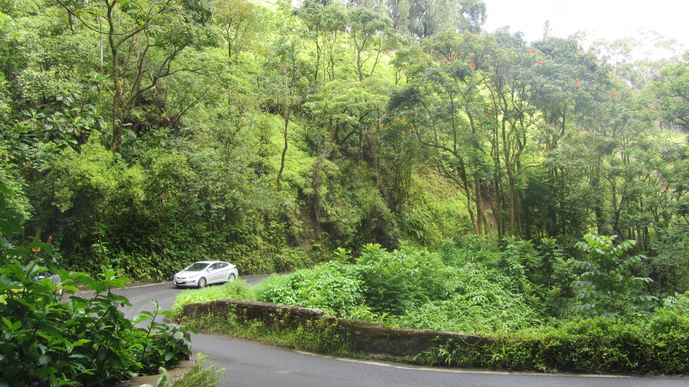
Maui’s eastern shoreline is rugged, but it offers stunning views of Hawaii’s lush tropical landscape. The winding 52-mile road connects Kahului to the isolated community of Hana. With hundreds of mountainous curves, switchbacks, and narrow bridges, it can take up to four hours to complete a careful drive that would take less than an hour on a typical highway. The Hawaii Tourism Authority advises visitors to be chauffeured by a licensed tourism company instead of hazarding the road in a rental.
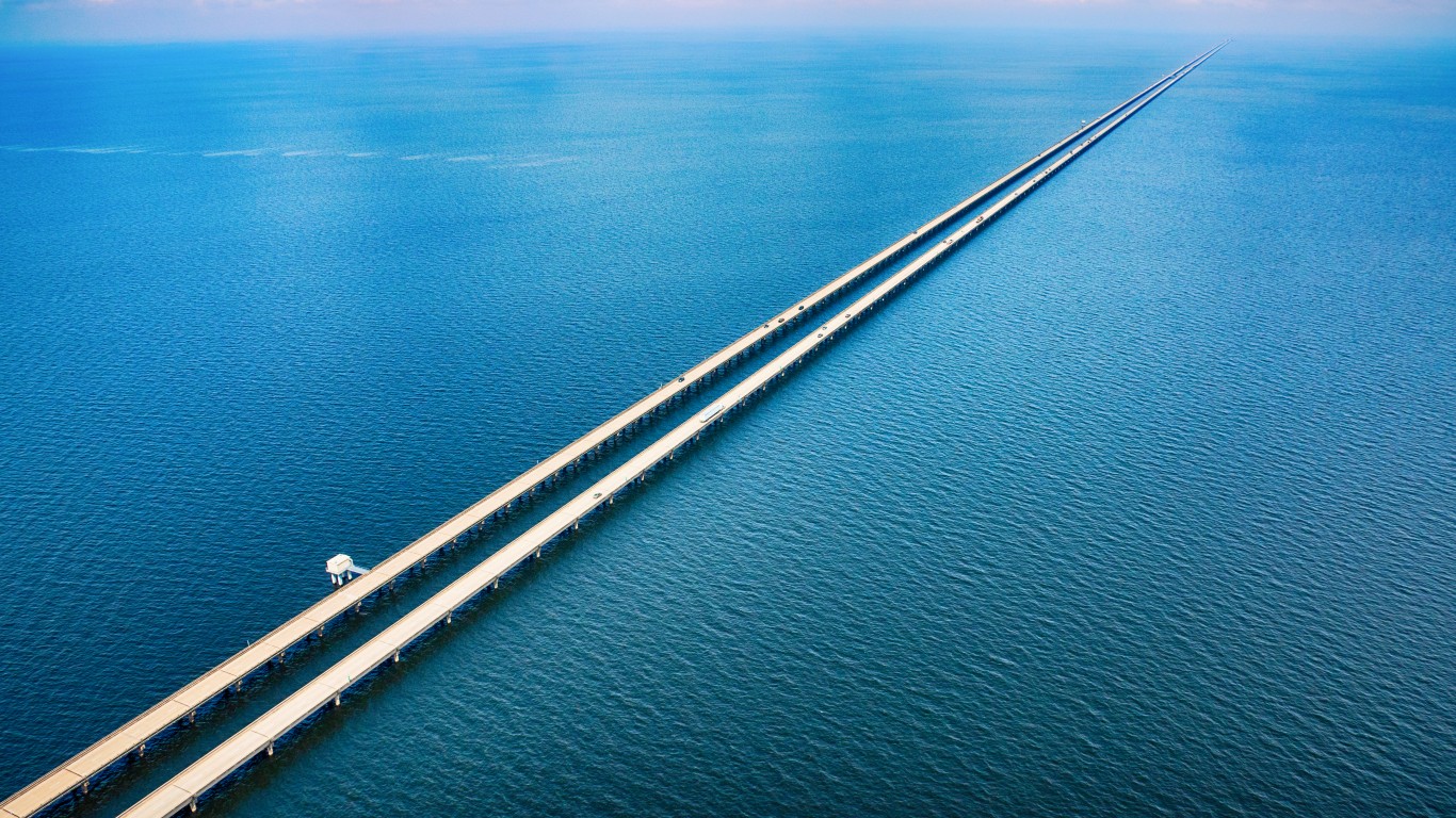
8. Lake Pontchartrain Causeway
> State: Louisiana
This 24-mile roadway is the world’s longest bridge that runs continuously over water. It connects the New Orleans suburb of Metairie to the town of Mandeville on the north shore of the lake from which the causeway gets its name. At its halfway mark, drivers are on a road to seemingly nowhere as no shoreline is visible in any direction. The humid subtropical climate at times causes fog and downpours so visibly impenetrable that police have to direct traffic to avert collisions, which are frequent.

9. Highway 2
> State: Montana
Montana’s natural environment is beautiful, but the state is also huge and sparsely populated, especially along Highway 2 that runs parallel with the Canadian border. You can drive for long stretches along the northern end of Montana before passing another vehicle. Despite some curvy mountainous travel at the roadway’s western end, the speed limit is one of the nation’s highest at 70 miles per hour. Similar to Alaska’s remote Dalton Highway, emergency response to crashes can be slow. It can take 45 minutes for first responders to arrive at the scene.
[in-text-ad-2]
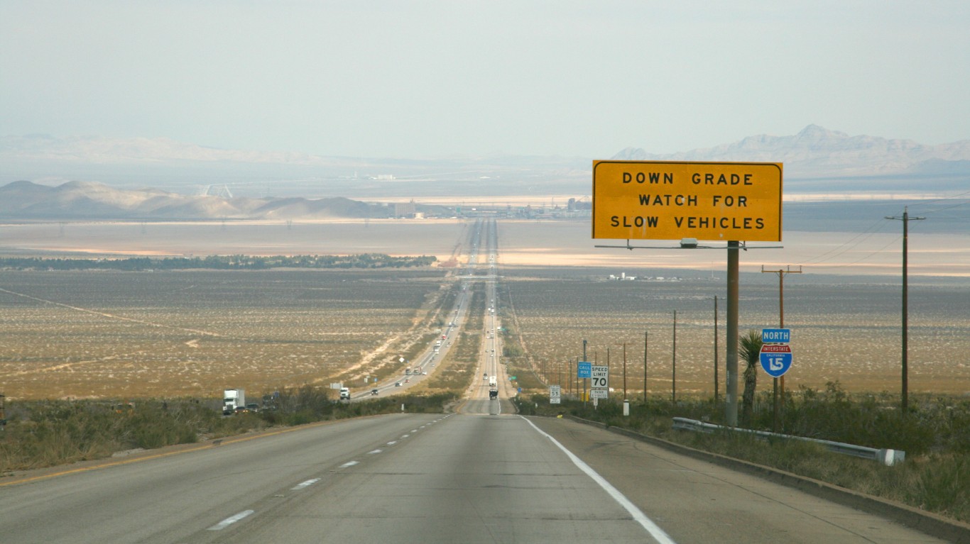
10. I-15
> State: Nevada and California
“We were somewhere around Barstow on the edge of the desert when the drugs began to take hold.” That’s the opening line of “Fear and Loathing in Las Vegas,” late gonzo journalist Hunter S. Thompson’s semi-factual, drug-addled story. The book opens with Thompson and his fictionalized partner in crime, Raoul Duke, rocketing down I-15 in a convertible Chevy Caprice.
The book may be a product of the author’s creative imagination, but the dangers of this 181-mile stretch of highway that beelines through the Mojave Desert is 100% real thanks to the large number of desert speeders and accidents involving drunk drivers.
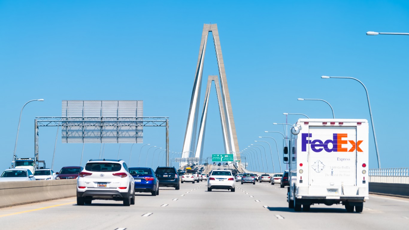
11. U.S. Route 17
> State: South Carolina
U.S. Route 17 is a 1,200-mile route between Punta Gorda, on the western Gulf coast of central Florida, and Winchester, Virginia, near the nation’s capital. The South Carolina portion of the highway is a scenic route through forests, wetlands, and sleepy oceanside towns, but it is also marked by blind turns and narrow passes. One of the reasons the route can be dangerous, especially in the summertime, is the abundance of wildlife that crosses the highway on this stretch of the route.
[in-text-ad]
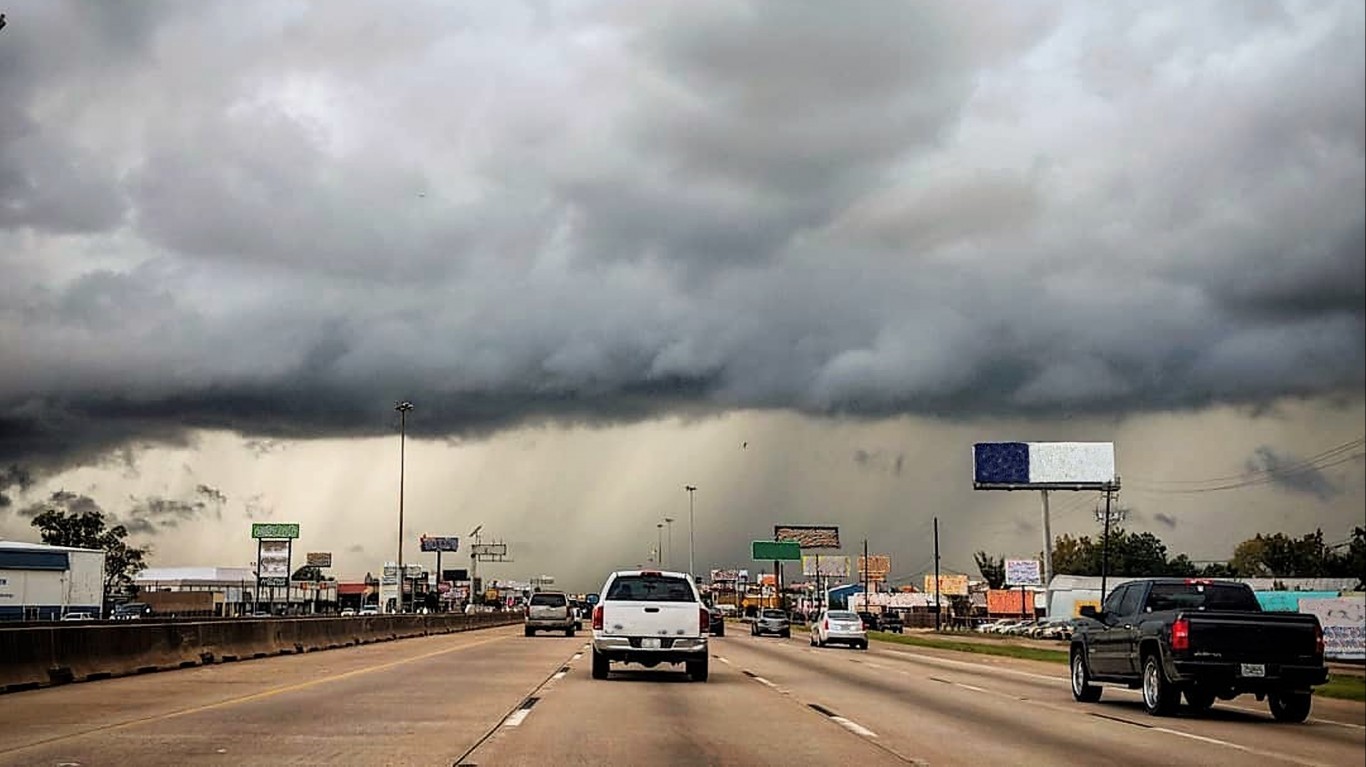
12. I-45
> State: Texas
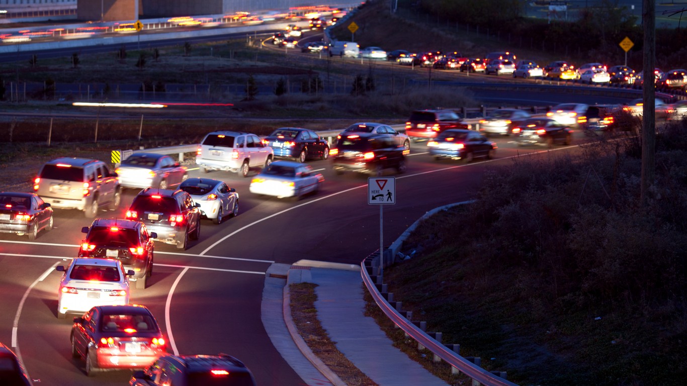
Technically, I-45 is not really an interstate, as it is entirely in Texas. It connects Dallas with Galveston, through Houston. The highway is considered one of the most dangerous because it passes through two of the 10 largest most populated metro areas in the country. Like the I-285 ring road around Atlanta, I-45 is dangerous due to heavy commuter traffic, frequent interchanges, and semi trucks in and near these two major urban and suburban areas.
Get Ready To Retire (Sponsored)
Start by taking a quick retirement quiz from SmartAsset that will match you with up to 3 financial advisors that serve your area and beyond in 5 minutes, or less.
Each advisor has been vetted by SmartAsset and is held to a fiduciary standard to act in your best interests.
Here’s how it works:
1. Answer SmartAsset advisor match quiz
2. Review your pre-screened matches at your leisure. Check out the advisors’ profiles.
3. Speak with advisors at no cost to you. Have an introductory call on the phone or introduction in person and choose whom to work with in the future
Thank you for reading! Have some feedback for us?
Contact the 24/7 Wall St. editorial team.
 24/7 Wall St.
 24/7 Wall St.

