Special Report
25 US Cities With the Most Hazardous Waste Sites

Published:
Last Updated:

The United States has thousands and thousands of sites marked for cleanup by the U.S. Environmental Protection Agency. At the top of this list are 1,333 on the Superfund National Priorities List, or NPL, an EPA designation for the most polluted sites, determined by the danger the site’s pollutants have for humans, as well as the environment.
These critical sites are also evaluated by how many people live near them, so a site closer to dense populations is considered more critical even if it is not as dangerous as a site located further away from population centers. People who live and work within one of these polluted zones may not be aware of the detrimental health impact coming from the air, water, or soil, but it is been shown that populations living near contaminated areas are more likely to be exposed to toxins that can cause birth defects or chip away at life expectancy through increases in the likelihood of chronic diseases and cancer. (Here are 23 places where industrial air pollution is so bad it causes cancer.)
To determine the 25 cities with the most contaminated areas, 24/7 Wall St. reviewed data on hazardous waste sites and city areas. City areas were overlapped with hazardous waste site areas, and then cities were ranked based on the percentage of a city area that is hazardous waste sites. Waste site area data for 2010 and came from Hazardous Waste Site Polygon Data. Cities’ land area data came from the Census Bureau and is for 2020.
Among the 25 cities on this list, hazardous waste sites make up between 3% and 42% of their land areas, spanning at least one Superfund site. There are seven cities in Arizona and six in California. In Victorville, California, for example, 11% of the city is contaminated with hazardous waste. The city was near the George Air Force Base that was closed in 1992 but left behind contaminants that have leaked into the surrounding soil and groundwater.
The hazardous waste sites in 12 of these 25 cities are current or former military installations whose operations have generated such toxins as solvents, contaminated fuel and waste oil, buried munitions and hazardous chemicals, chemicals used in firefighting foam, and other pollutants. Non-military sites include the South Bay Asbestos Area of San Jose, California, the industrial area of Rubbertown in Louisville, Kentucky, and the site of a former lead smelting plant in Dallas. (Also see, here’s how long it takes for 32 everyday things to decompose.)
Here are the cities with the most hazardous waste areas.
Click here to see our detailed methodology.
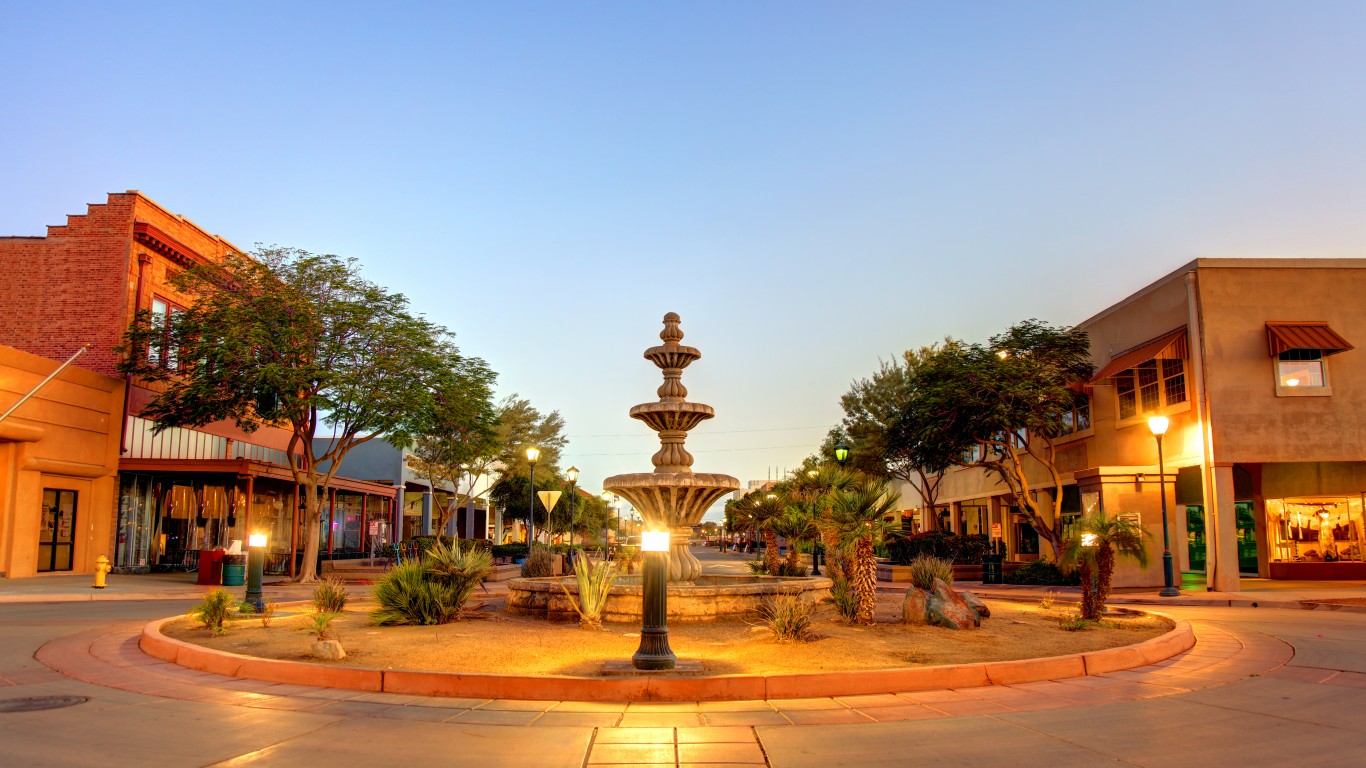
25. Yuma, Arizona
> City covered by hazardous waste areas: 3.3% (4.0 sq. mi.)
> Number of hazardous waste areas: 1
> Largest hazardous waste area: Yuma Marine Corps Air Station
> Total population: 97,428
Over its 70 years of operation, the Yuma Marine Corps Air Station has discarded oil, jet fuel, solvents, paint residue, pesticides and herbicides, battery acid, asbestos-containing materials and polychlorinated biphenyls (PCBs), a now-banned highly cariogenic industrial chemical used, among other things, as a coolant for electrical equipment.
[in-text-ad]
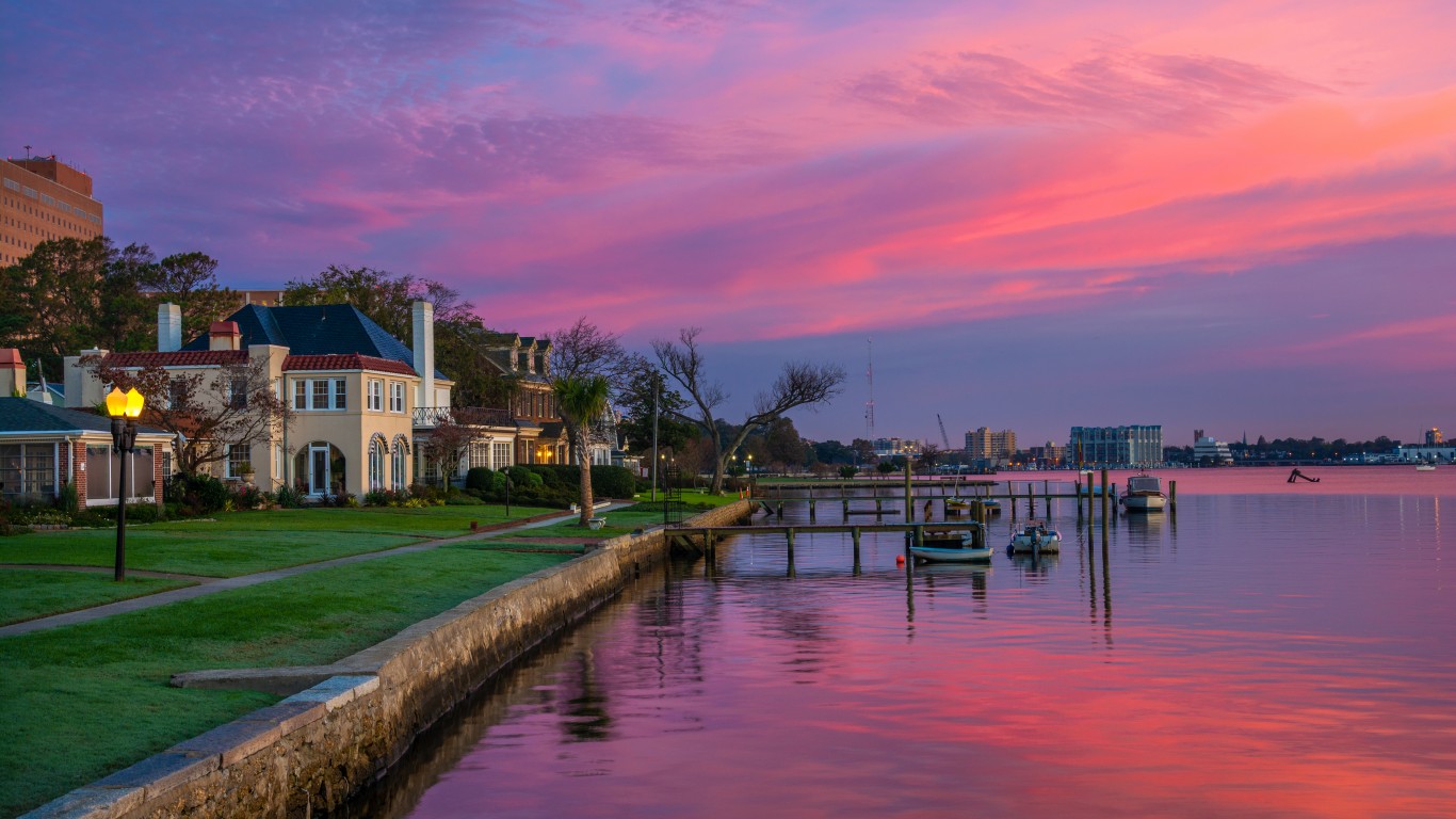
24. Hampton, Virginia
> City covered by hazardous waste areas: 3.3% (4.6 sq. mi.)
> Number of hazardous waste areas: 1
> Largest hazardous waste area: Langley Air Force Base
> Total population: 135,169
Langley Air Force Base has been an active airfield since 1917 and is the home base for the 1st Fighter Wing fleet of F-22 Raptor stealth fighter jets. Along with the adjacent NASA Langley Research Center, the base contains abandoned landfills, fueling areas, wastewater treatment plants, spills sites, waste pits, and other sources of possible contamination.

23. Dallas, Texas
> City covered by hazardous waste areas: 3.6% (14.0 sq. mi.)
> Number of hazardous waste areas: 1
> Largest hazardous waste area: RSR Corporation
> Total population: 1,338,846
The RSR Corporation site includes a former lead smelter that operated from the 1920s to 1984 and lead-contaminated landfills. For decades, residents of a nearby public housing project were exposed to high levels of airborne lead toxins, exposing children in these low-income housing units to dangerously high levels of lead in their blood.
22. Louisville/Jefferson County, Kentucky
> City covered by hazardous waste areas: 3.8% (10.4 sq. mi.)
> Number of hazardous waste areas: 8
> Largest hazardous waste area: Rubbertown Industrial Area
> Total population: 618,733
Nearly 30,000 residents live within a mile of West Louisville’s Rubbertown, which contains 10 chemical plants that employ about 1,500 workers, according to the University of Louisville’s Superfund Research Center. The industrial area used to be larger, with companies like tiremaker BFGoodrich leaving behind a legacy of contamination of toxins, including vinyl chloride, which has been linked to hepatic hemangiosarcoma, a form of liver cancer.
[in-text-ad-2]
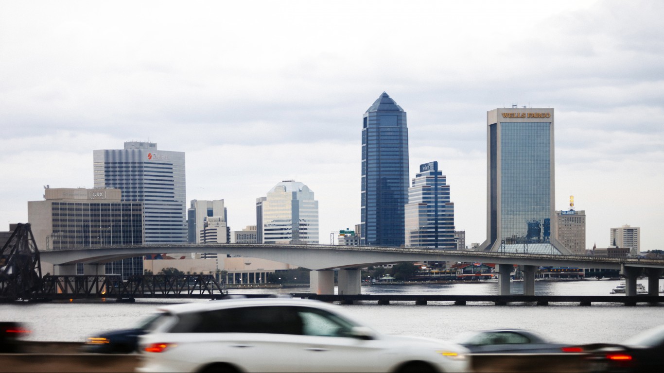
21. Jacksonville, Florida
> City covered by hazardous waste areas: 3.8% (33.3 sq. mi.)
> Number of hazardous waste areas: 10
> Largest hazardous waste area: Naval Air Station Cecil Field
> Total population: 902,488
Jacksonville’s largest hazardous waste site is a former naval air station. As with other aircraft-focused facilities, Cecil Field operated fuel storage facilities, conducted aircraft maintenance, and included other facilities that caused the contamination of soil and groundwater with hazardous chemicals. The EPA has identified a dozen Operable Units at the site. An Operable Unit is an area of a hazardous waste site identified as having a specific problem, such as old chemical storage tanks that need to be removed.
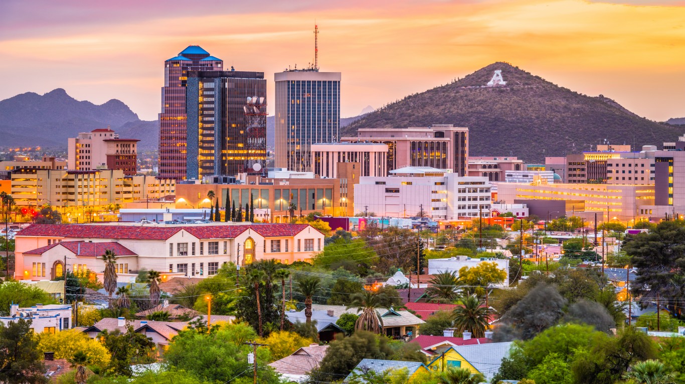
20. Tucson, Arizona
> City covered by hazardous waste areas: 3.9% (9.3 sq. mi.)
> Number of hazardous waste areas: 1
> Largest hazardous waste area: Tucson International Airport Area
> Total population: 545,340
The site includes the Tucson International Airport, nearby residential areas, and a portion of the Tohono Oʼodham Nation Native American reservation. There is also a federally-owned weapons manufacturing facility operated under contract with Raytheon Missiles & Defense. Soil and groundwater contamination in the area comes from former aircraft and electronic manufacturing, aircraft maintenance, and chemical leaks from old unlined landfills.
[in-text-ad]
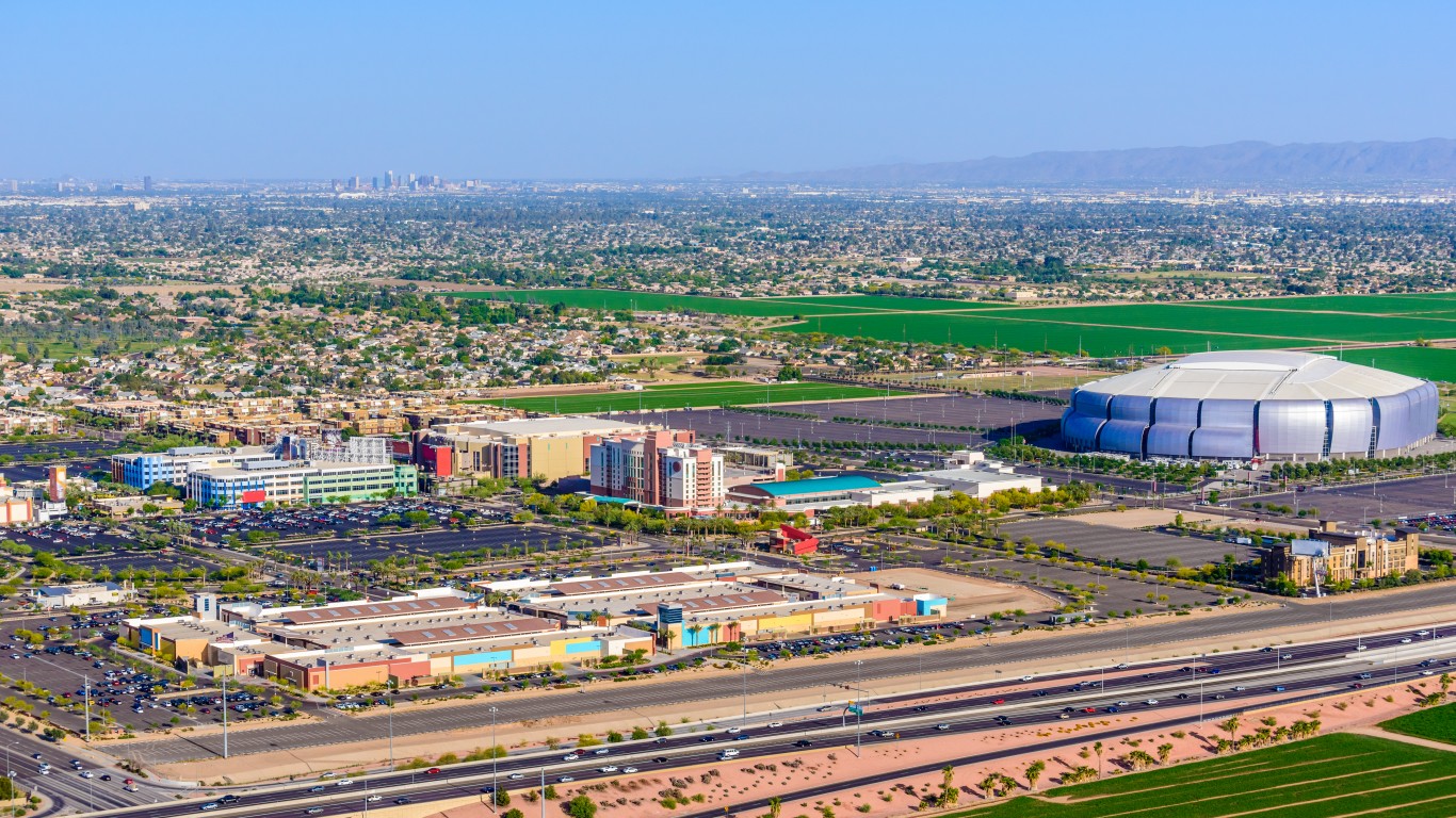
19. Glendale, Arizona
> City covered by hazardous waste areas: 4.4% (2.9 sq. mi.)
> Number of hazardous waste areas: 1
> Largest hazardous waste area: Luke Air Force Base
> Total population: 250,290
Luke Air Force Base is located west of Phoenix and is an active site for advanced fighter pilot training. As with other aircraft-focused sites, the base contaminated the soil and possibly the groundwater due to past waste disposal practices. The site was cleaned up, and in 2002 the EPA removed it from its Superfund program’s national priorities list.
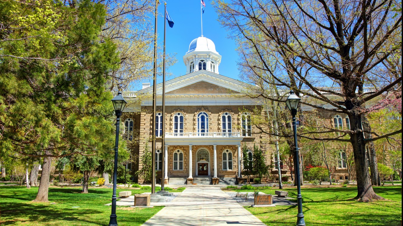
18. Carson City, Nevada
> City covered by hazardous waste areas: 4.6% (7.2 sq. mi.)
> Number of hazardous waste areas: 1
> Largest hazardous waste area: Carson River Mercury Site
> Total population: 55,244
The Carson River Mercury Site is the former area of the Comstock Lode, the discovery of natural deposits of silver in 1859 in and around Nevada’s capital Carson City and nearby Dayton and Virginia City. Miners used mercury in gold and silver extraction, a process that released an estimated 14 million pounds of mercury from an estimated 236 mills in western Nevada. The waste area encompasses 330 square miles, a portion of which within Carson City borders, and 130 river miles.
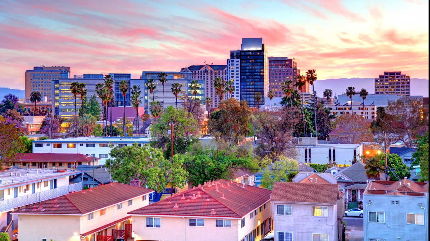
17. San Jose, California
> City covered by hazardous waste areas: 4.8% (8.7 sq. mi.)
> Number of hazardous waste areas: 6
> Largest hazardous waste area: South Bay Asbestos Area
> Total population: 1,029,409
Landfills in the South Bay Asbestos Area accepted asbestos-containing pipe manufacturing material from 1953 to 1982. Furthermore, a ring levee in the area was built using quarried rock that contained naturally occurring asbestos. Worn down by rain and wind, this asbestos has been found in nearby unpaved truck yards. Though the EPA and the U.S. Army Corps of Engineers have since removed the levee and paved the truck yards, the landfill caps require soil management plans in perpetuity since the asbestos-containing materials remain.
[in-text-ad-2]
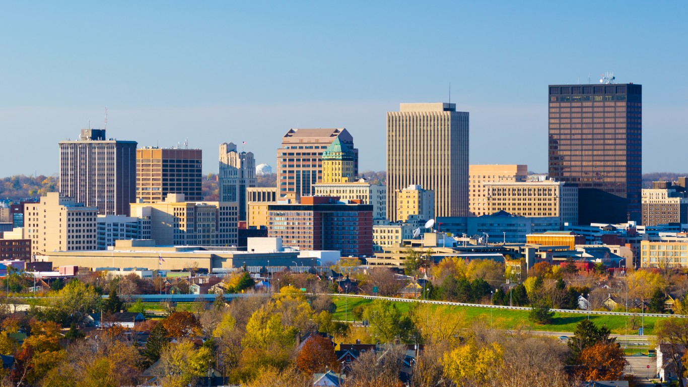
16. Dayton, Ohio
> City covered by hazardous waste areas: 5.8% (3.3 sq. mi.)
> Number of hazardous waste areas: 4
> Largest hazardous waste area: Wright-Patterson Air Force Base
> Total population: 140,444
The active Wright Patterson Air Force Base east of the city of Dayton contains potential environmental contamination from 13 landfills, 12 disposal zones, nine fuel or chemical spill sites, six coal storage facilities, five fire-training areas, four chemical burial sites, and two underground storage tanks. Cleanup efforts have included removing tanks and groundwater treatments.
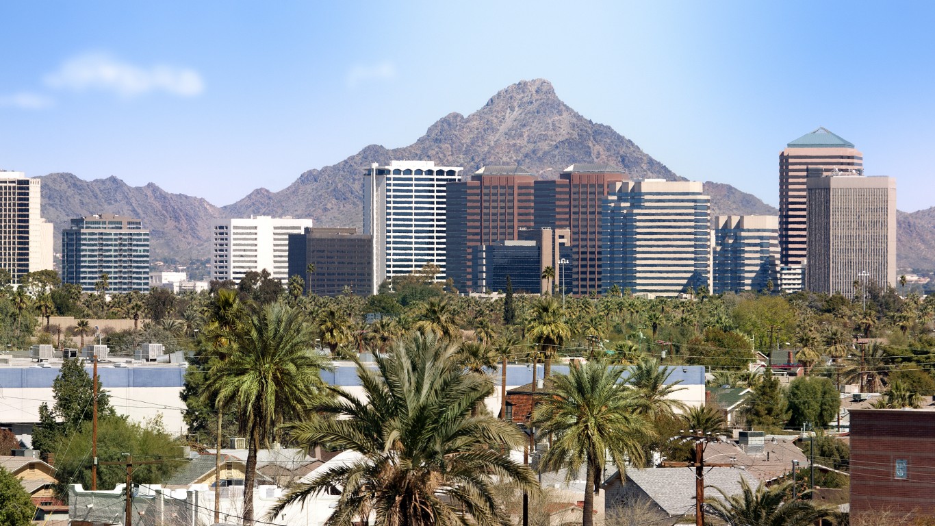
15. Scottsdale, Arizona
> City covered by hazardous waste areas: 6.1% (11.2 sq. mi.)
> Number of hazardous waste areas: 3
> Largest hazardous waste area: Indian Bend Wash Area
> Total population: 254,995
Before federal environmental regulations were implemented in the 1970s, numerous industrial facilities in the Indian Bend Wash area dumped industrial solvents directly onto the ground or in unprotected dry wells, leading to soil and groundwater contamination in two areas divided by the Salt River. The two areas are being treated separately because they are not connected, and the contaminants for each come from different sources.
[in-text-ad]
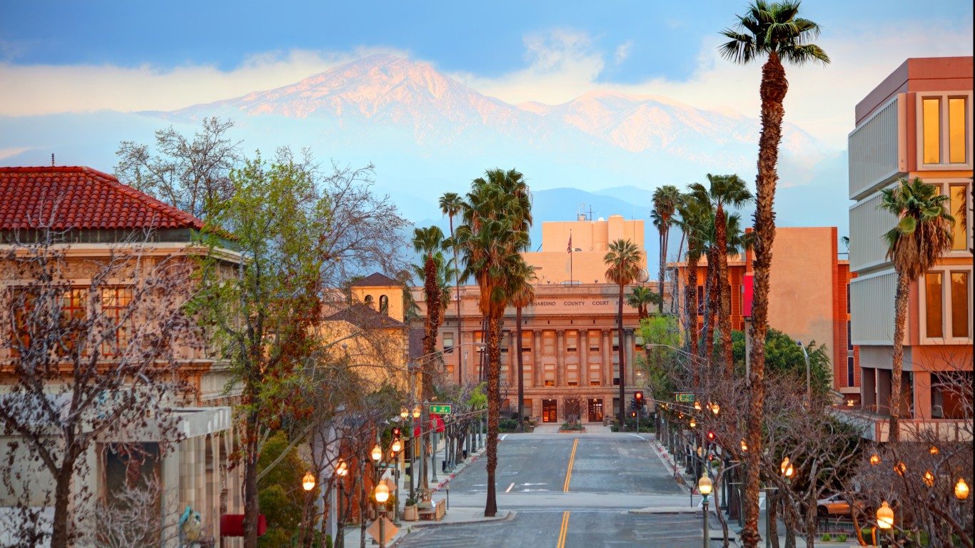
14. San Bernardino, California
> City covered by hazardous waste areas: 6.5% (4.0 sq. mi.)
> Number of hazardous waste areas: 2
> Largest hazardous waste area: Norton Air Force Base (Landfill No. 2)
> Total population: 216,784
Since 1942, the area has served as an aircraft repair and jet engine maintenance site. Past management of hazardous materials caused soil and groundwater contamination with polychlorinated biphenyls (PCBs), lead and other heavy metals, acids, and dioxins. Operation, maintenance, and monitoring at the site is ongoing following the implementation of remedial actions at the site.
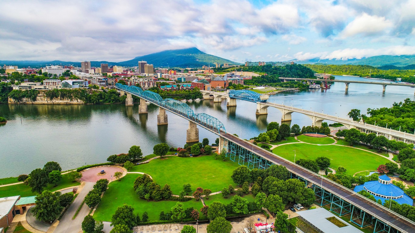
13. Chattanooga, Tennessee
> City covered by hazardous waste areas: 7.0% (10.6 sq. mi.)
> Number of hazardous waste areas: 3
> Largest hazardous waste area: Volunteer Army Ammunition Plant
> Total population: 181,370
Large amounts of TNT were produced at a now-inactive Volunteer Army Ammunition Plant. Contaminants found at the site include chemicals used in the production, pesticides, and heavy metals. The Agency of Toxic Substances and Disease Registry determined in 2004 that local residents were not exposed to contaminants from the site in levels that would cause harmful effects.
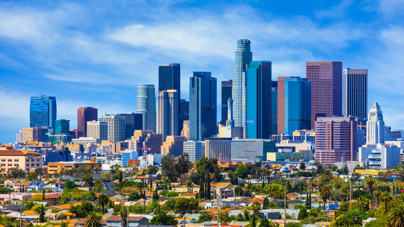
12. Los Angeles, California
> City covered by hazardous waste areas: 7.2% (35.9 sq. mi.)
> Number of hazardous waste areas: 7
> Largest hazardous waste area: San Fernando Valley (Area 3)
> Total population: 3,973,278
Area 3 of San Fernando Valley was contaminated by industries that dumped volatile organic compounds like the industrial solvents trichloroethylene and perchloroethylene. The EPA determined that no action was needed to clean up the site and removed it from its Superfund program’s National Priorities List in 2004.
[in-text-ad-2]
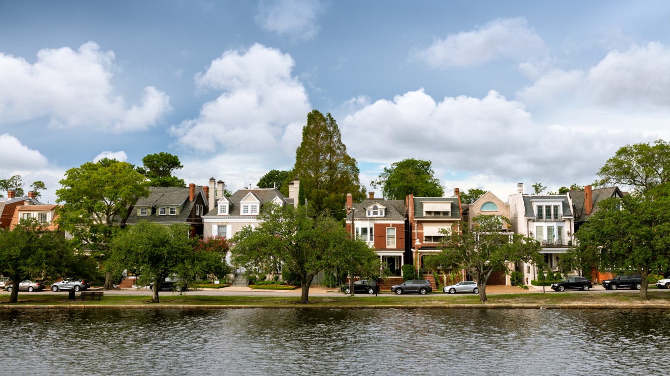
11. Norfolk, Virginia
> City covered by hazardous waste areas: 10.0% (9.6 sq. mi.)
> Number of hazardous waste areas: 3
> Largest hazardous waste area: Norfolk Naval Base
> Total population: 244,300
Norfolk Naval Base provides facilities and logistics support for U.S. Navy vessels and aircraft. Shipyard activities have generated environmentally hazardous wastes, including solvents, paints, oils, and PCBs. Poor waste disposal practices in the past led to the site being registered to the EPA’s Superfund National Priorities List in 1997. Maintenance of the site is ongoing.
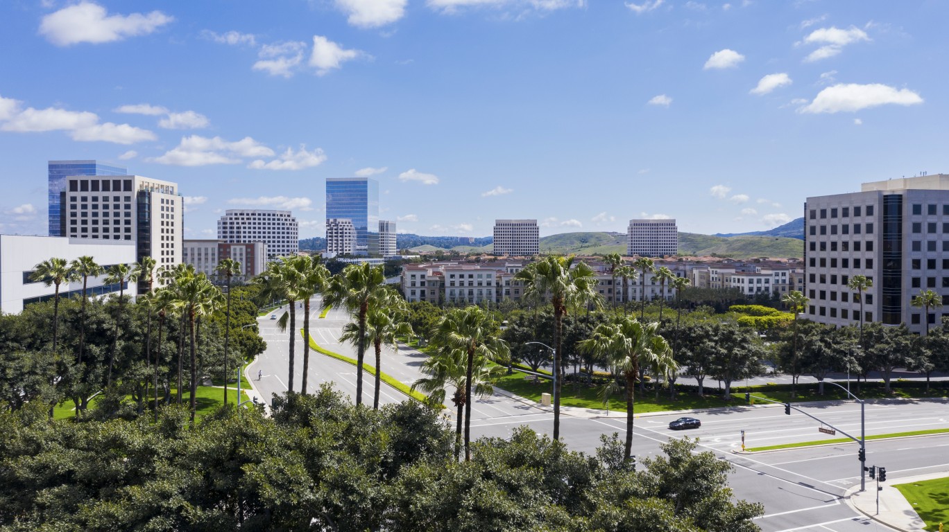
10. Irvine, California
> City covered by hazardous waste areas: 10.2% (6.7 sq. mi.)
> Number of hazardous waste areas: 1
> Largest hazardous waste area: El Toro Marine Corps Air Station
> Total population: 272,694
Commissioned in 1943, this Marine Corps air station was commissioned for closure in 1993 after serving as a major West Coast jet fighter facility. The EPA found 25 areas of potential contamination from both hazardous and solid waste, including battery acid, leaded fuels, and PCBs. Long-term cleanup is ongoing.
[in-text-ad]
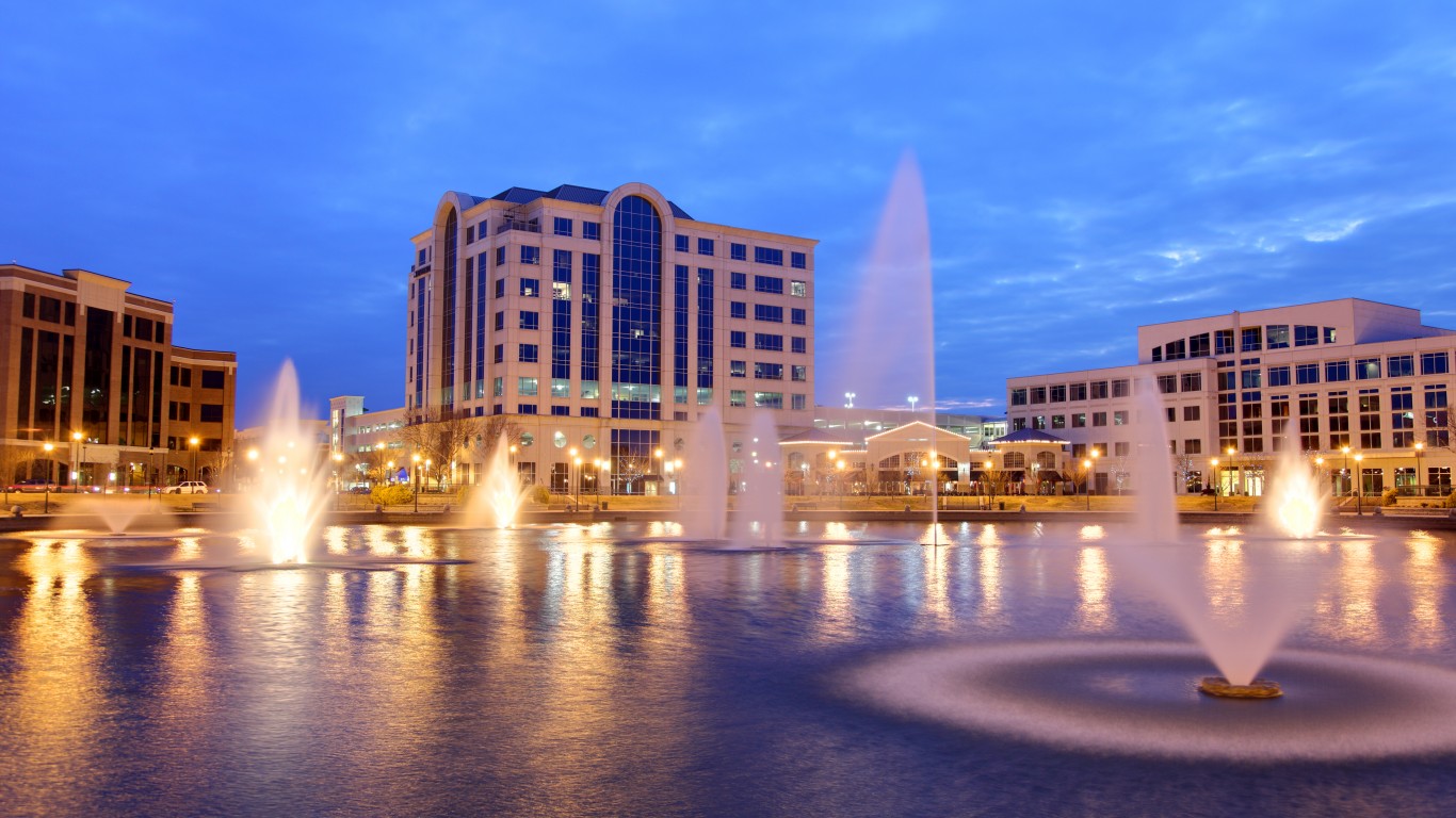
9. Newport News, Virginia
> City covered by hazardous waste areas: 10.7% (12.8 sq. mi.)
> Number of hazardous waste areas: 2
> Largest hazardous waste area: Fort Eustis
> Total population: 179,582
Fort Eustis is an active Army installation located on a peninsula of the Warwick and James Rivers that was established during World War I. Numerous activities there over the century have caused hazardous chemical contamination of soil, sediment, and water, both on the surface and underground. Investigations and other remedial activities in the area are ongoing.
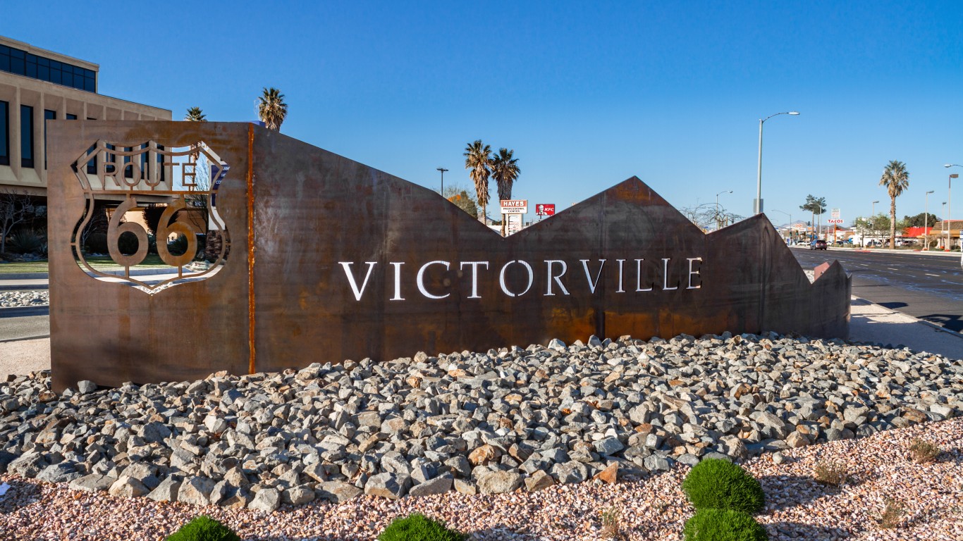
8. Victorville, California
> City covered by hazardous waste areas: 11.1% (8.2 sq. mi.)
> Number of hazardous waste areas: 1
> Largest hazardous waste area: George Air Force Base
> Total population: 122,958
Established during World War II and closed in 1992, George Air Force Base, 70 miles northeast of Los Angeles, supported tactical fighter jets and trained air crews and maintenance workers. Decades of military aircraft operations resulted in various hazardous contaminants seeping into the soil and leaching into groundwater.
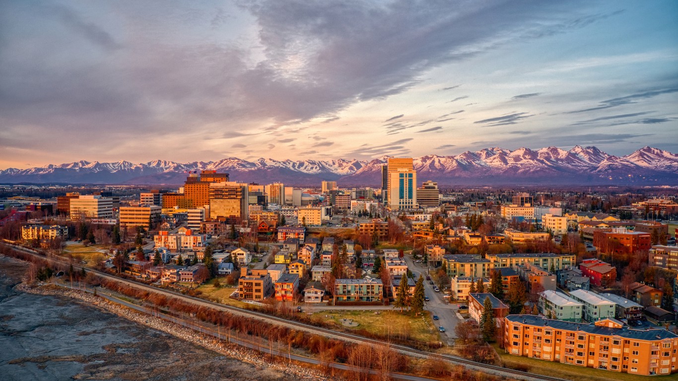
7. Anchorage, Alaska
> City covered by hazardous waste areas: 12.2% (236.7 sq. mi.)
> Number of hazardous waste areas: 6
> Largest hazardous waste area: Fort Richardson
> Total population: 292,090
Fort Richardson was commissioned in 1940 and continues to command and control Army forces in Alaska. Past activities included dumping oil, solvents, and fuel into floor drains; burning waste oil, solvents, and contaminated fuel in fire burn pits used for firefighter training; burying munitions and hazardous chemicals; and storing waste oil in underground tanks.
[in-text-ad-2]
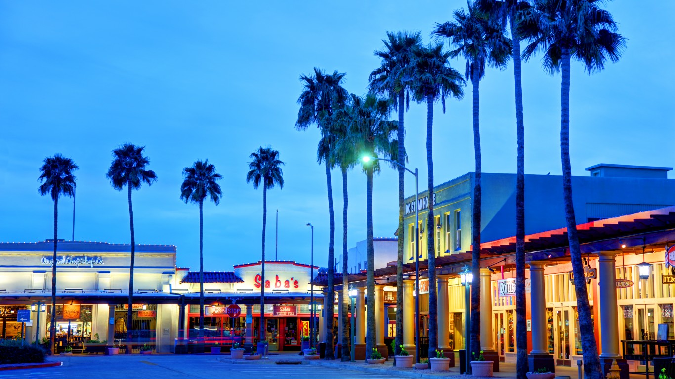
6. Chandler, Arizona
> City covered by hazardous waste areas: 12.8% (8.4 sq. mi.)
> Number of hazardous waste areas: 1
> Largest hazardous waste area: Mesa Area Groundwater Contamination
> Total population: 257,076
Located in east Mesa, the Fort Williams Air Force Base area is now mostly home to the Phoenix-Mesa Gateway Airport and the campus of Arizona State University Polytechnic. Much of the site has been cleaned up, but the Air Force is still addressing contaminated groundwater at a fuel spill site and a landfill. Contaminants include poly-fluoroalkyl substances (PFAS) used in firefighting foam.
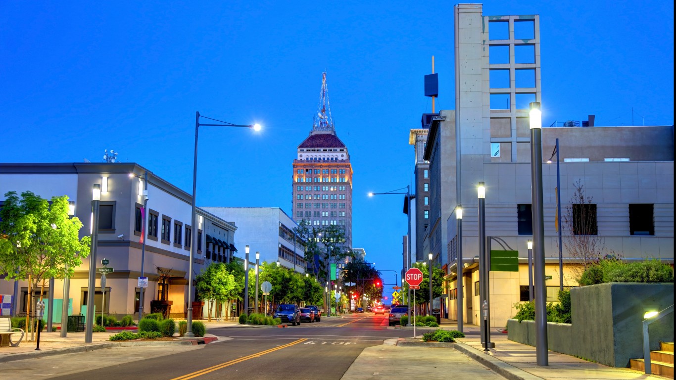
5. Fresno, California
> City covered by hazardous waste areas: 14.5% (16.9 sq. mi.)
> Number of hazardous waste areas: 4
> Largest hazardous waste area: T.H. Agriculture & Nutrition Co.
> Total population: 526,147
Pesticide manufacturing took place at T.H. Agriculture & Nutrition Co. from 1950 to 1981. Industrial byproducts in the process were dumped in area landfills, which contaminated soil and groundwater. The EPA took the area off its Superfund National Priorities List in 2006.
[in-text-ad]
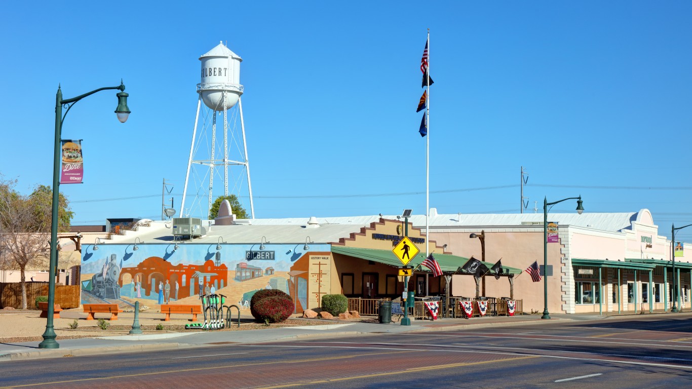
4. Gilbert, Arizona
> City covered by hazardous waste areas: 19.9% (13.7 sq. mi.)
> Number of hazardous waste areas: 2
> Largest hazardous waste area: Mesa Area Groundwater Contamination
> Total population: 248,349
Along with nearby Chandler and Mesa, Gilbert is part of the larger Mesa Area Groundwater Contamination zone, though the source of contamination differs. An industrial solvent linked to a former copper sulfate production facility that operated from 1979 to 1983 was discovered in late 2000, long after the owner of the facility left the state. The contaminants are not believed to have polluted area drinking water.
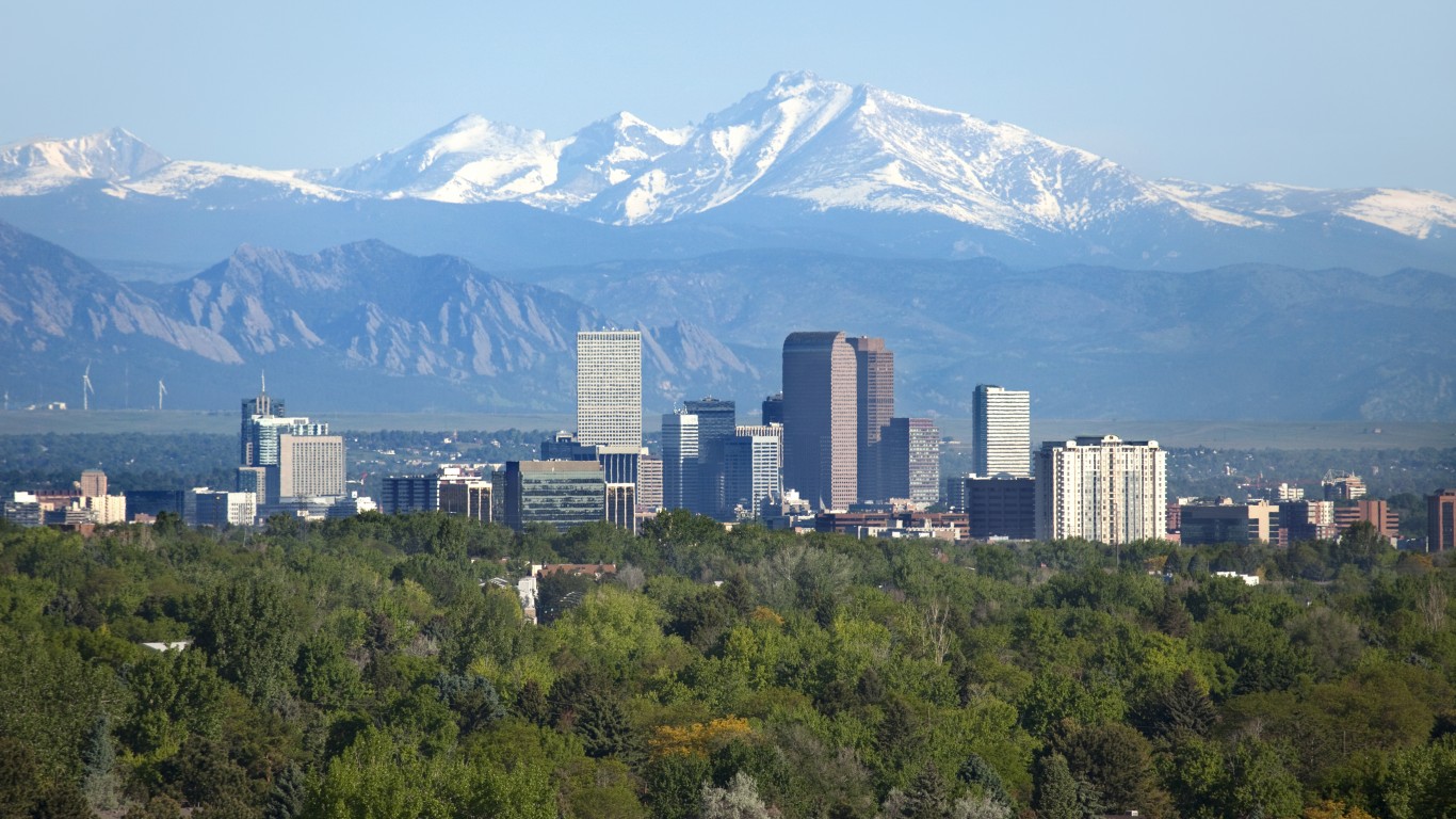
3. Denver, Colorado
> City covered by hazardous waste areas: 25.7% (39.7 sq. mi.)
> Number of hazardous waste areas: 7
> Largest hazardous waste area: Denver Radium Site
> Total population: 715,878
The Denver Radium Site was polluted by radioactive residues from the processing of radium ore in the early 1900s, when radium was being researched and even used in many consumer products. Today, the site contains residential, commercial, and recreational sites. The area has been mostly cleaned up, but maintenance activities and regular five-year reviews are ongoing.
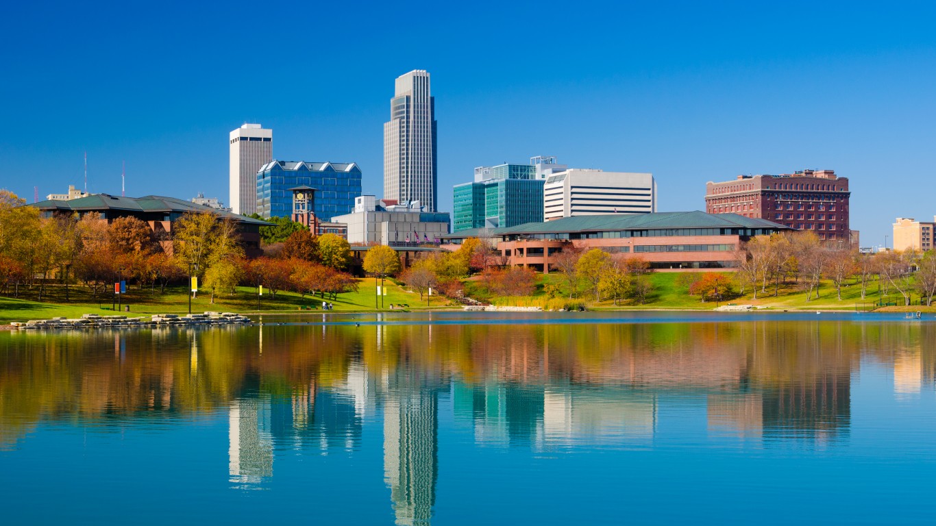
2. Omaha, Nebraska
> City covered by hazardous waste areas: 30.8% (45.0 sq. mi.)
> Number of hazardous waste areas: 2
> Largest hazardous waste area: Omaha Lead Site
> Total population: 479,529
Past industrial emissions in the area caused considerable lead contamination of surface soils in eastern Omaha. The EPA began excavating and replacing soils around child care facilities and residential properties, and in 2004, it focused on 5,600 of the most highly contaminated properties. Many areas were deemed to pose unacceptable risks to children’s health.
[in-text-ad-2]
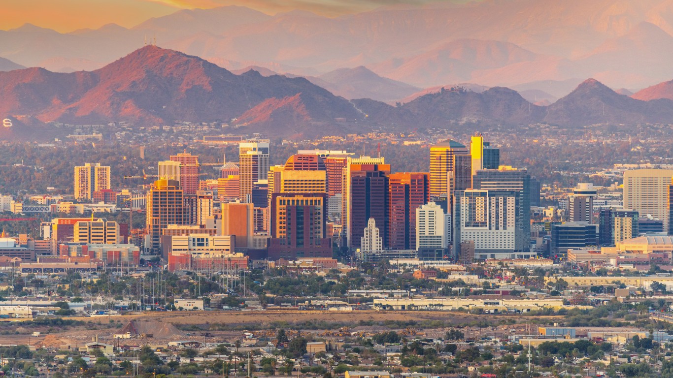
1. Mesa, Arizona
> City covered by hazardous waste areas: 41.1% (57.3 sq. mi.)
> Number of hazardous waste areas: 2
> Largest hazardous waste area: Mesa Area Groundwater Contamination
> Total population: 508,918
Mesa shares the same contamination issues as nearby Chandler: past activities from the former Fort Williams Air Force Base, a site that is now occupied by Phoenix-Mesa Gateway Airport and Arizona State University Polytechnic Campus. Pollutants include perfluorooctane sulfonate (PFOS) and perfluorooctanoic acid (PFOA), chemicals found in firefighting foam that the EPA links to cancer and birth defects.
Methodology
To determine the cities with the most contaminated areas, 24/7 Wall St. reviewed 2010 Hazardous Waste Site Polygon Data from the Agency for Toxic Substances and Disease Registry. We reviewed land areas of hazardous waste sites as well as areas of cities, towns, and census-designated places overlapping both. We then ranked cities based on the percentage of their total area covered by hazardous waste sites considered for cleanup under the Comprehensive Environmental Response, Compensation, and Liability Act. Most sites are either on the EPA National Priorities List or are being considered for inclusion on the NPL.
Hazardous waste site boundaries are maintained by the Geospatial Research, Analysis, and Services Program of the Centers for Disease Control and Prevention. Boundary and land area data for cities, towns, and census-designated places come from the U.S. Census Bureau and are for 2020. Only cities with at least 50 square miles of land area and 50,000 residents were considered. Population data came from the U.S. Census Bureau’s 2020 American Community Survey and are five-year estimates.
The thought of burdening your family with a financial disaster is most Americans’ nightmare. However, recent studies show that over 100 million Americans still don’t have proper life insurance in the event they pass away.
Life insurance can bring peace of mind – ensuring your loved ones are safeguarded against unforeseen expenses and debts. With premiums often lower than expected and a variety of plans tailored to different life stages and health conditions, securing a policy is more accessible than ever.
A quick, no-obligation quote can provide valuable insight into what’s available and what might best suit your family’s needs. Life insurance is a simple step you can take today to help secure peace of mind for your loved ones tomorrow.
Click here to learn how to get a quote in just a few minutes.
Thank you for reading! Have some feedback for us?
Contact the 24/7 Wall St. editorial team.