Special Report
15 Worst Places to Be If There's a Nuclear Attack on America

Published:

This January, in the midst of growing global tensions largely resulting from the war in Ukraine, the Bulletin of Atomic Scientists moved the Doomsday Clock — which symbolizes how close they believe humankind is to destroying itself — to 90 seconds to midnight, the closest the symbolic device has been to worldwide catastrophe. (click here to see the position of the Doomsday Clock over the years.) According to a survey published in 2022, more than three-quarters of Americans think a biological, chemical, or nuclear will likely occur somewhere on Earth in the next year.
Should a nuclear attack target the United States, leading to the worst-case scenario: total nuclear war, not many places would be safe. But because an enemy of the United States is likely to first target strategic military installations, many of which are near large urban centers, remote areas would likely be safer.
Stephen Schwartz, author of “Atomic Audit: The Costs and Consequences of US Nuclear Weapons Since 1940,” identified 15 such targets. The targets, mapped by Business Insider, include command centers, ICBM bases, communication stations, and air force and submarine bases. In addition, Dr. Irwin Redlener, a professor at Columbia University’s Mailman School of Public Health, identified six economic centers most likely to be attacked.
To find the worst places to be if there’s a nuclear attack on America, 24/7 Wall St. constructed an index consisting of several measures to rank major U.S. cities likely to be targets based on both Schwartz’s and Redlener’s lists. The measures in the index include population density; city preparedness for emergency; economic significance; city preparedness plans; distance to the strategic military target; proximity to nuclear power plants; and ease of evacuation based on commute time as a proxy to congestion and the percentage of a city area that is water. We also added projected fatalities and injuries assuming a 1 megaton bomb, using Nukemap.
Click here to see the worst places to be if there’s a nuclear attack on America.
Click here to see our detailed methodology.
It is important to note that the first priority in case of a nuclear explosion is not to evacuate but to “get inside, stay inside, stay tuned,” according to Ready.gov. FEMA’s plan reiterates the message and asks to stay inside an “adequate shelter in basements or the center of larger, dense buildings” for at least 12-24 hours if possible. It adds, “Stay tuned for public announcements about hazard areas and evacuations.” (Here is what to do before, during, and after a nuclear attack.)
To be sure, the nation’s capital has both a strategic and civilian value, and is therefore one of the most likely targets. Many of the cities on the list may not be the first cities that come to mind as worst to be in case of a nuclear attack, but given the high likelihood they would be hit, at least partially, they make the list. Of course, many more economic centers could be targeted, including Boston, Miami, Atlanta, San Jose, Dallas, and Philadelphia to name a few. (An attack on a nuclear plant would also cause devastation. These two events are the world’s worst nuclear accidents.)
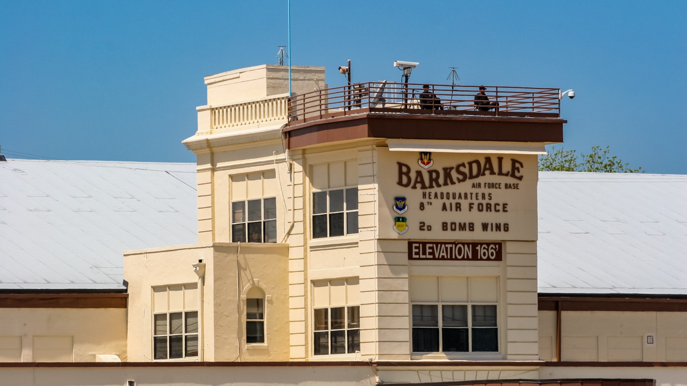
15. Shreveport-Bossier City, LA
> Proximity to: Shreveport center is 5 miles from Barksdale AFB
> Population density, city proper: 1,735 per sq. mile – #15 highest of 15 cities
> Evacuation rank: #12 worst of 15 cities
> Projected casualties (bombed over target): 24,150 deaths, 103,560 injuries
> Emergency preparedness: Louisiana’s Radiological Emergency Planning and Response
Barksdale Air Force Base, which is within the Shreveport-Bossier metropolitan area east of Bossier city, is home to three squadrons of B-52H Stratofortress bombers, which are capable of flying at high subsonic speeds and can carry nuclear ordnance. The base is also the headquarters of the Air Force Global Strike Command, which is responsible for the nation’s three ICBM wings, and the Air Force Nuclear Command among others.
[in-text-ad]
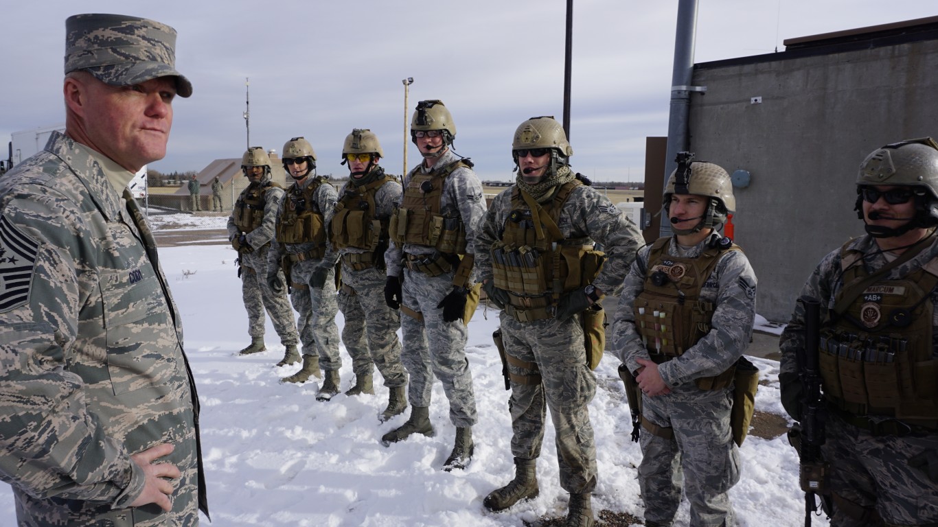
14. Cheyenne, WY
> Proximity to: 3 miles from F.E. Warren AFB
> Population density, city proper: 2,019 per sq. mile – #14 highest of 15 cities
> Evacuation rank: #15 worst of 15 cities
> Projected casualties (bombed over target): 27,320 deaths, 36,550 injuries
> Emergency preparedness: Cheyenne/Laramie County Emergency Management
Located just 3 miles west of Cheyenne, Francis E, Warren Air Force base is home to the 90th Missile Wing, a combat-ready ICBM force. In 2020, the Air Force announced it will be replacing the aging LGM-30 Minuteman III ICBMs with the more advanced LGM 35A Sentinel ICBM at the three bases that operate them, including F.E. Warren.
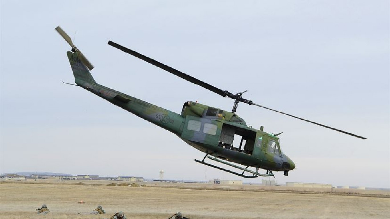
13. Great Falls, MT
> Proximity to: 6 miles from Malmstrom AFB
> Population density, city proper: 2,614 per sq. mile – #12 highest of 15 cities
> Evacuation rank: #14 worst of 15 cities
> Projected casualties (bombed over target): 17,920 deaths, 22,920 injuries
> Emergency preparedness: Great Falls Emergency Preparedness
Located east of Great Falls, within 6 miles of the city center, Malmstrom Air Force Base is home to the 341st Missile Wing, one of three that operate, maintain, and secure the Minuteman III ICBM.
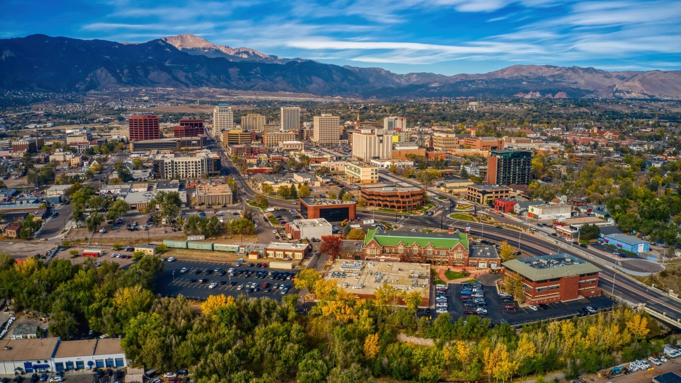
12. Colorado Springs, CO
> Proximity to: City center is 6 miles from NORAD, Peterson SFB
> Population density, city proper: 2,446 per sq. mile – #13 highest of 15 cities
> Evacuation rank: #10 worst of 15 cities
> Projected casualties (bombed over target): 28,400 deaths, 133,060 injuries
> Emergency preparedness: Colorado Springs Emergency Preparedness and Safety Guide
Peterson Space Force Base, located in Colorado Springs hosts the North American Aerospace Defense Command and U.S. Northern Command. NORAD is a U.S. and Canada bi-national organization charged with aerospace warning (of attack by aircraft, missiles, or space vehicles), aerospace control, and maritime warning for North America. The nearby famous Cheyenne Mountain Complex acts as an alternate command center.
[in-text-ad-2]
11. Albuquerque, NM
> Proximity to: 6 miles from Kirtland AFB
> Population density, city proper: 3,015 per sq. mile – #11 highest of 15 cities
> Evacuation rank: #11 worst of 15 cities
> Projected casualties (bombed over target): 11,200 deaths, 157,630 injuries
> Emergency preparedness: Albuquerque’s Emergency Plans and Annexes
Kirtland Air Force Base occupies a majority of southeast Albuquerque. The base is the headquarters of the Air Force Global Strike Command’s largest installation, the Air Force Nuclear Weapons Center. The center, within Air Force Materiel Command, is charged with synchronizing all aspects of nuclear materiel management, including storing and transporting nuclear weapons.
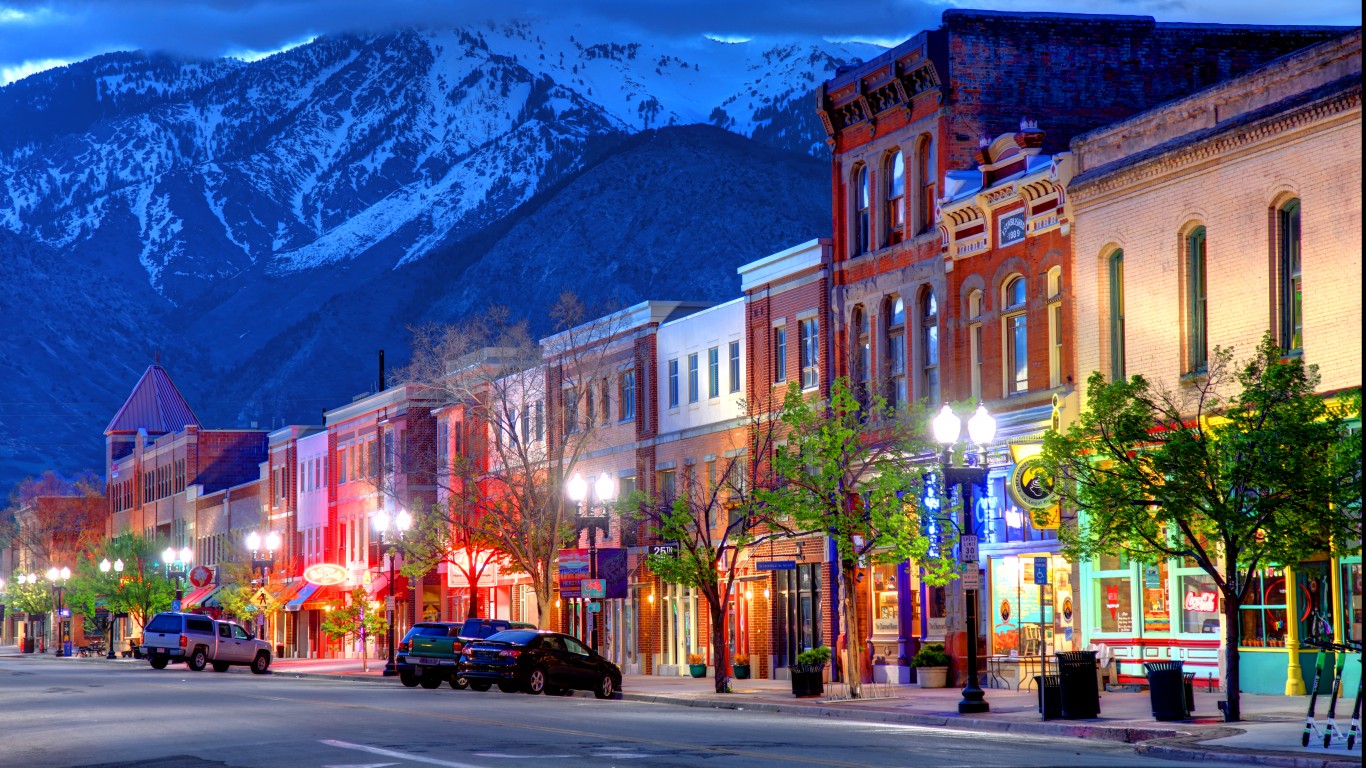
10. Ogden-Clearfield, UT
> Proximity to: Ogden center is 7 miles from Hill AFB
> Population density, city proper: 3,170 per sq. mile – #10 highest of 15 cities
> Evacuation rank: #9 worst of 15 cities
> Projected casualties (bombed over target): 87,140 deaths, 157,570 injuries
> Emergency preparedness: Utah’s Nuclear/Radiological Incident
Hill Air Force Base is an Air Force Materiel Command base located between Ogden and Clearfield. It is the Air Force’s second largest base by population and geographical size and provides installation support for the Air Force Nuclear Weapons Center, headquartered in Kirtland AFB (No. 11), including storing and transporting nuclear weapons.
[in-text-ad]
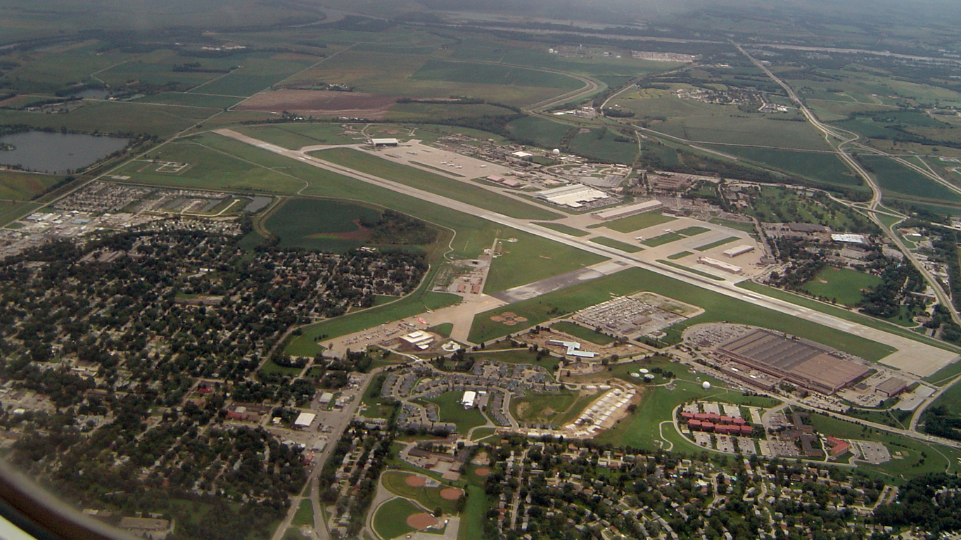
9. Omaha-Council Bluffs, NE-IA
> Proximity to: 9 miles from Offutt AFB
> Population density, city proper: 3,411 per sq. mile – #9 highest of 15 cities
> Evacuation rank: #13 worst of 15 cities
> Projected casualties (bombed over target): 34,480 deaths, 140,790 injuries
> Emergency preparedness: Emergency Preparedness and Response
Offutt Air Force Base, just south of Omaha, is the headquarters of the U.S. Strategic Command, which coordinates the necessary command and control capability to provide support for the president, the secretary of defense, other national leadership and combatant commanders.
In the terrorist attacks on Sept. 11, 2001, President George W. Bush, who was in Florida at the time they struck, was first flown to Barksdale AFB (No. 15), then to Offutt, where he was taken into an underground command center bunker designed to withstand a nuclear blast and as a place from which a presidential order to go to nuclear war could be issued. There he held an hours-long teleconference with his senior cabinet staff, the CIA, Pentagon, and FBI, among others.
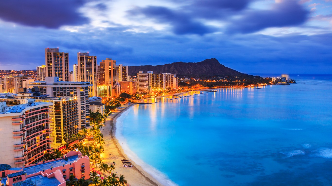
8. Urban Honolulu, HI
> Proximity to: 30 miles from VLF Array Lualualei
> Population density, city proper: 5,797 per sq. mile – #7 highest of 15 cities
> Evacuation rank: #1 worst of 15 cities
> Projected casualties (bombed over target): 20,920 deaths, 56,710 injuries
> Emergency preparedness: Nuclear preparedness
The U.S. Navy’s VLF transmitter Lualualei is a facility that transmits orders to submerged submarines in the very low frequency range. Such capability would be needed if the U.S. wanted to launch a submarine attack. Another such submarine communication site is in Cutler, Maine, which is too far from major urban centers to be included on this list. Though a direct hit over the transmitter might not reach Honolulu, evacuation possibilities from the island are limited. O’ahu is home to several other military bases, including Pearl Harbor, which was infamously attacked by the Japanese in 1941.
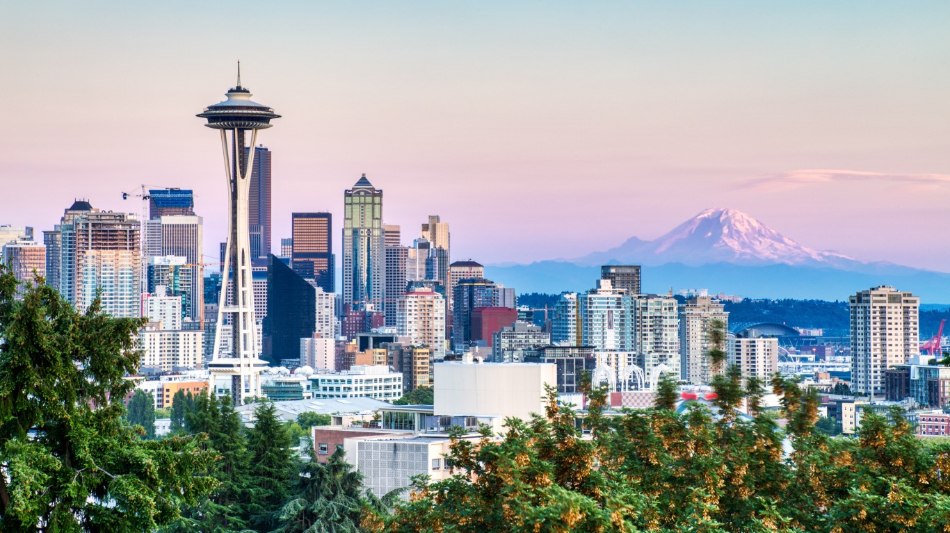
7. Seattle-Tacoma-Bellevue, WA
> Proximity to: 30 miles from Naval Base Kitsap, 46 miles from Naval Radio Station Jim Creek
> Population density, city proper: 8,787 per sq. mile – #5 highest of 15 cities
> Evacuation rank: #8 worst of 15 cities
> Projected casualties (bombed over each target): 53,840 deaths, 106,020 injuries
> Emergency preparedness: Seattle’s Emergency Management
Though not situated too close to any one strategic target, Seattle is located between two highly likely targets, and given its geography and population density, evacuation may not be easy.
Naval Base Kitsap, a strategic nuclear weapons facility, is home to all types of submarines, including the UGM-133A Trident II-armed submarines (Trident II is a submarine-launched ballistic missile) and two Nimitz-class aircraft carriers. The somewhat remote Naval Radio Station Jim Creek is another VLF transmitter for the Pacific submarine fleet. In 2019, Russian state television listed it among U.S. military facilities that would be likely targets in the event of a nuclear strike.
[in-text-ad-2]
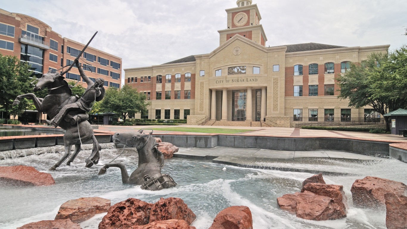
6. Houston-The Woodlands-Sugar Land, TX
> Population density, city proper: 3,598 per sq. mile – #8 highest of 15 cities
> Evacuation rank: #7 worst of 15 cities
> Projected casualties (bombed over target): 330,850 deaths, 693,340 injuries
> Emergency preparedness: Houston’s Health Department’s Preparedness Plans
Houston is one of the six cities evaluated as likely civilian targets in the event of a nuclear attack on America. Of the six, it has the lowest population density. The city’s health department specifically mentions radiological incidents in its emergency preparedness plan. The closest nuclear power plant, South Texas Project Nuclear Generating Station, is about 65 miles away from the metro area’s outskirts.
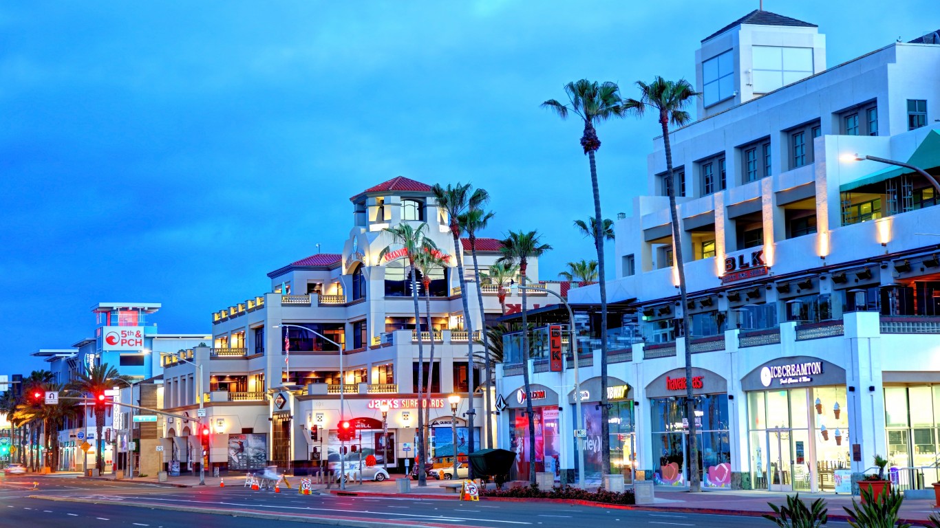
5. Los Angeles-Long Beach-Anaheim, CA
> Population density, city proper: 8,304 per sq. mile – #6 highest of 15 cities
> Evacuation rank: #6 worst of 15 cities
> Projected casualties (bombed over target): 645,750 deaths, 1,622,290 injuries
> Emergency preparedness: LA’s Preparing for Nuclear Incidents
Crippling the U.S. economy and dealing a blow to American institutions, including cultural ones, would be the reason for attacking civilian targets. Los Angeles certainly checks both boxes as the second largest metro economy. While the city may not be as densely populated as other cities on the list, it is highly congested. The city’s Emergency Management Department specifically has a plan for a nuclear incident.
[in-text-ad]
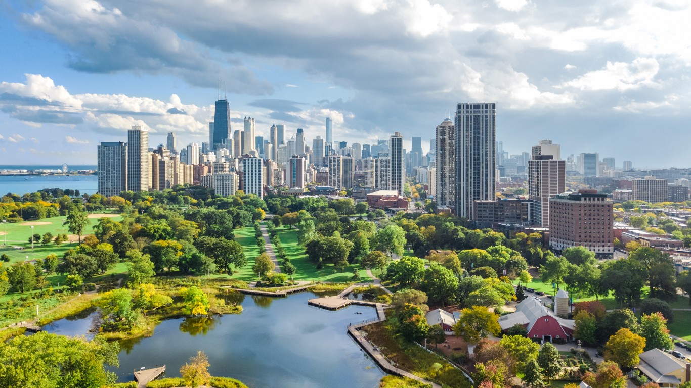
4. Chicago-Naperville-Elgin, IL-IN-WI
> Population density, city proper: 12,060 per sq. mile – #3 highest of 15 cities
> Evacuation rank: #4 worst of 15 cities
> Projected casualties (bombed over target): 626,170 deaths, 1,100,960 injuries
> Emergency preparedness: Chicago’s Nuclear Threat page
With four nuclear power plants within 50 miles of the city – the nearest not 20 miles away – Chicago is another possible civilian target. If these power plants are hit in addition to the city in a nuclear attack, it could exacerbate conditions in Chicago. Any attack on O’Hare International Airport, the world’s fourth largest, would severely cripple travel in North America. The city has the third highest GDP of any U.S. metro area after New York and Los Angeles, so its destruction or evacuation would have a major effect on the national economy.
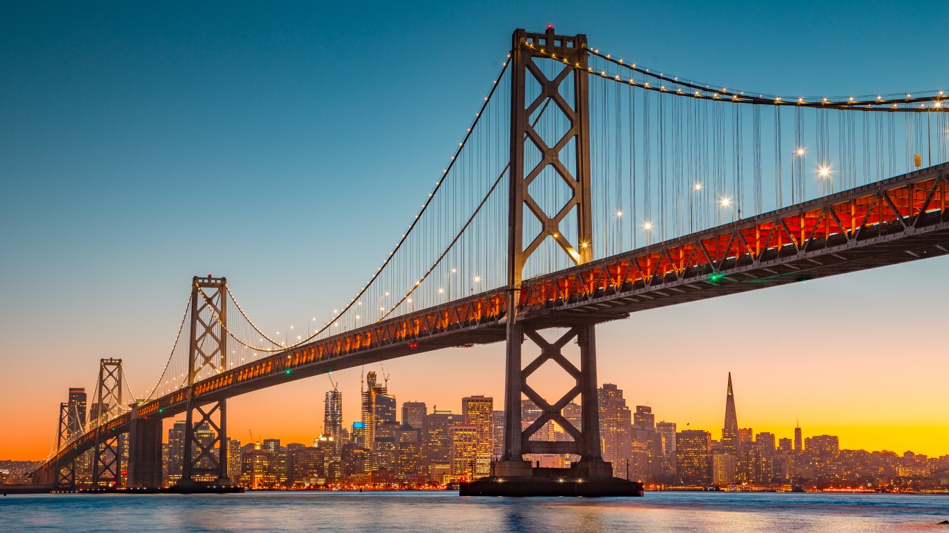
3. San Francisco-Oakland-Berkeley, CA
> Population density, city proper: 18,629 per sq. mile – #2 highest of 15 cities
> Evacuation rank: #3 worst of 15 cities
> Projected casualties (bombed over target): 507,980 deaths, 582,870 injuries
> Emergency preparedness: San Francisco’s Get Prepared
San Francisco is located at the north end of the San Francisco Peninsula, surrounded by the Pacific Ocean and San Francisco Bay, making evacuation extremely difficult. The fourth largest metro economy in the U.S., San Francisco is also home to the expanded Silicon Valley that originated further south in the San Jose area. Though the city has a plan for emergency, it does not mention radiological or nuclear incidents.
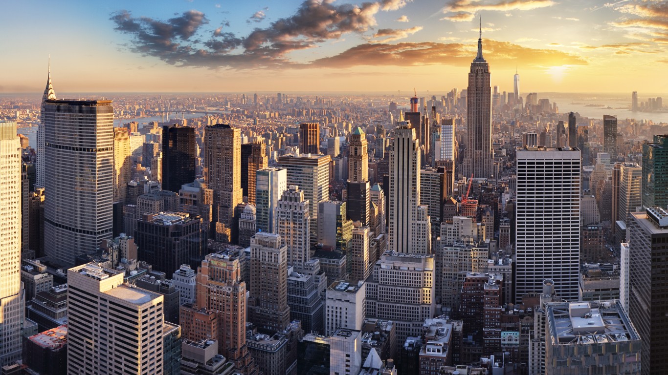
2. New York-Newark-Jersey City, NY-NJ-PA
> Population density, city proper: 29,303 per sq. mile – #1 highest of 15 cities
> Evacuation rank: #2 worst of 15 cities
> Projected casualties (bombed over target): 1,712,030 deaths, 3,170,500 injuries
> Emergency preparedness: New York’s Plan Now types of terrorist attacks, including nuclear preparedness PSA
The U.S.’s largest metro economy and the most densely populated metro area, New York City is a highly likely civilian target. Home to Wall Street, the city was already the target of several terrorist attacks, including the 9/11 attacks that crippled the city for days. The New York Stock Exchange closed for four days, its longest shutdown since 1933. Perhaps as a result, the city is far more prepared than most. Still, evacuating from Manhattan has proven to be very difficult.
[in-text-ad-2]
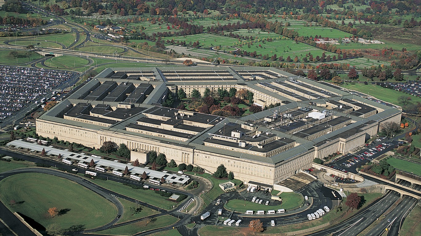
1. Washington-Arlington-Alexandria, DC-VA-MD-WV
> Proximity to: 0 miles from Pentagon
> Population density, city proper: 11,281 per sq. mile – #4 highest of 15 cities
> Evacuation rank: #5 worst of 15 cities
> Projected casualties (bombed over target): 461,240 deaths, 924,160 injuries
> Emergency preparedness: D.C.’S Preparedness Guide
The nation’s capital has more than one highly valued target, not the least of which is the Pentagon, the headquarters of the U.S. Department of Defense, which was already a target of the terrorist attacks on 9/11. The seats of the executive branch (the White House) and the legislative branch (Congress) are also highly likely to be attacked along with such targets as the nearby CIA headquarters. About 30 miles southeast of the metro’s outskirts is the Calvert Cliffs Nuclear Power Plant, and about 60 miles southwest is North Anna’s Nuclear Generating Station.
Methodology
To find the worst cities to be in the event of a nuclear attack on America, 24/7 Wall St. constructed an index consisting of several measures. The first important measure was the likelihood a city would be bombed. Dr. Irwin Redlener, a professor at Columbia University’s Mailman School of Public Health, identified six economic centers most likely to be attacked. In addition, Business Insider mapped the 15 strategic military targets Stephen Schwartz identified in his books as most likely to be attacked first to neutralize the U.S. nuclear capabilities. These targets include command centers, ICBM bases, and air force and submarine bases, many of which are within close proximity to large urban centers.
Four strategic targets are too far from large urban centers to be included: Minot AFB in North Dakota, Naval Computer and Telecommunications Station Cutler in Maine, Whiteman AFB in Missouri, and Kings Bay Naval Submarine Base in Georgia.
We have ranked all the likely targets based on city population density, within the city proper and the larger metropolitan area (from the U.S. Census Bureau 2020 American Community Survey); city preparedness for emergency (from city or state websites), economic significance based on 2021 gross domestic product (half weight) from the Bureau of Economic Analysis; air distance in miles to the strategic military target using Google Maps; and ease of evacuation. This last measure uses commute time given by the ACS as a proxy to congestion and the percentage of a city area that is water.
We also added projected fatalities and injuries assuming center city detonation or detonation over the strategic location using Nukemap. We used a 1 megaton bomb, which has a light blast damage radius (1 psi) of 19.8 km or 12.3 miles for a total of 1,230 km squared, or 475 miles squared.
Are you ready for retirement? Planning for retirement can be overwhelming, that’s why it could be a good idea to speak to a fiduciary financial advisor about your goals today.
Start by taking this retirement quiz right here from SmartAsset that will match you with up to 3 financial advisors that serve your area and beyond in 5 minutes. Smart Asset is now matching over 50,000 people a month.
Click here now to get started.
Thank you for reading! Have some feedback for us?
Contact the 24/7 Wall St. editorial team.