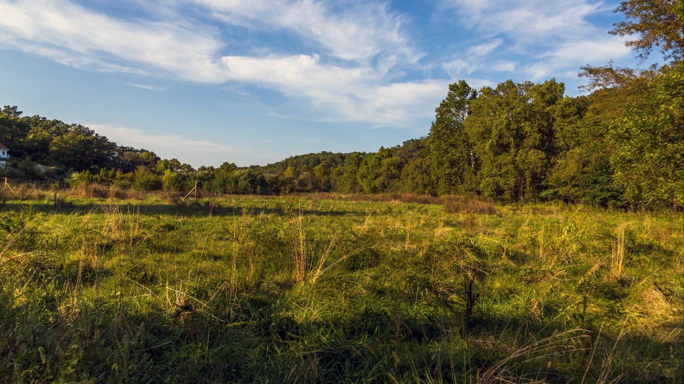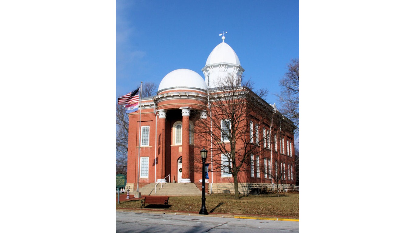
Heavy rainfall in June brought some relief to drought-stricken areas of the United State, including parts of New England, the Mississippi Valley, and the Great Lakes region. But the precipitation missed other thirsty parts of the country that so far this summer continue to swelter under intense summer heat and unusually dry conditions.
The worst drought conditions so far this summer are mostly in Kansas, Missouri, and Nebraska, according to the U.S. Drought Monitor, jointly produced by the National Drought Mitigation Center at the University of Nebraska-Lincoln, the U.S. Department of Agriculture, and the National Oceanic and Atmospheric Administration.
To identify the 20 U.S. counties engulfed in record drought right now, 24/7 Wall St. reviewed data from the U.S. Drought Monitor. We listed the 20 counties where at least one-third of the land area was experiencing “exceptional” drought as of the week ending July 11, 2023 — the latest data available. Exceptional drought, or D4, is the most intense level of drought. We also considered “extreme” drought, the second most intense level of drought (D3), in each of the 20 counties.
In “extreme” drought conditions, there are major crop and pasture losses, fire danger, and widespread water shortages or restrictions. The same conditions characterize “Exceptional” drought conditions except they are more intense and widespread. Further, there are shortages of water in reservoirs, streams, and wells causing water emergencies. Such water emergencies can trigger the highest state of mandatory water restrictions.
In the 20 counties on the list, about 347,000 people are living in “extreme” drought conditions, 224,000 of whom living in “exceptional” drought conditions. A total of about 12,000 square miles in these most drought-stricken counties in the nation are either in extreme or exceptional drought. (These are 20 beloved foods that could disappear forever because of climate change.)
Eight of the counties with the most intense drought conditions are in Nebraska, six are in Kansas, Five in Missouri, and one in Texas. Interestingly, parts of these states are also designated flood hazard areas. These are the 20 states with the biggest risk of flooding.
Here are the parts of the U.S. engulfed in record drought conditions right now.
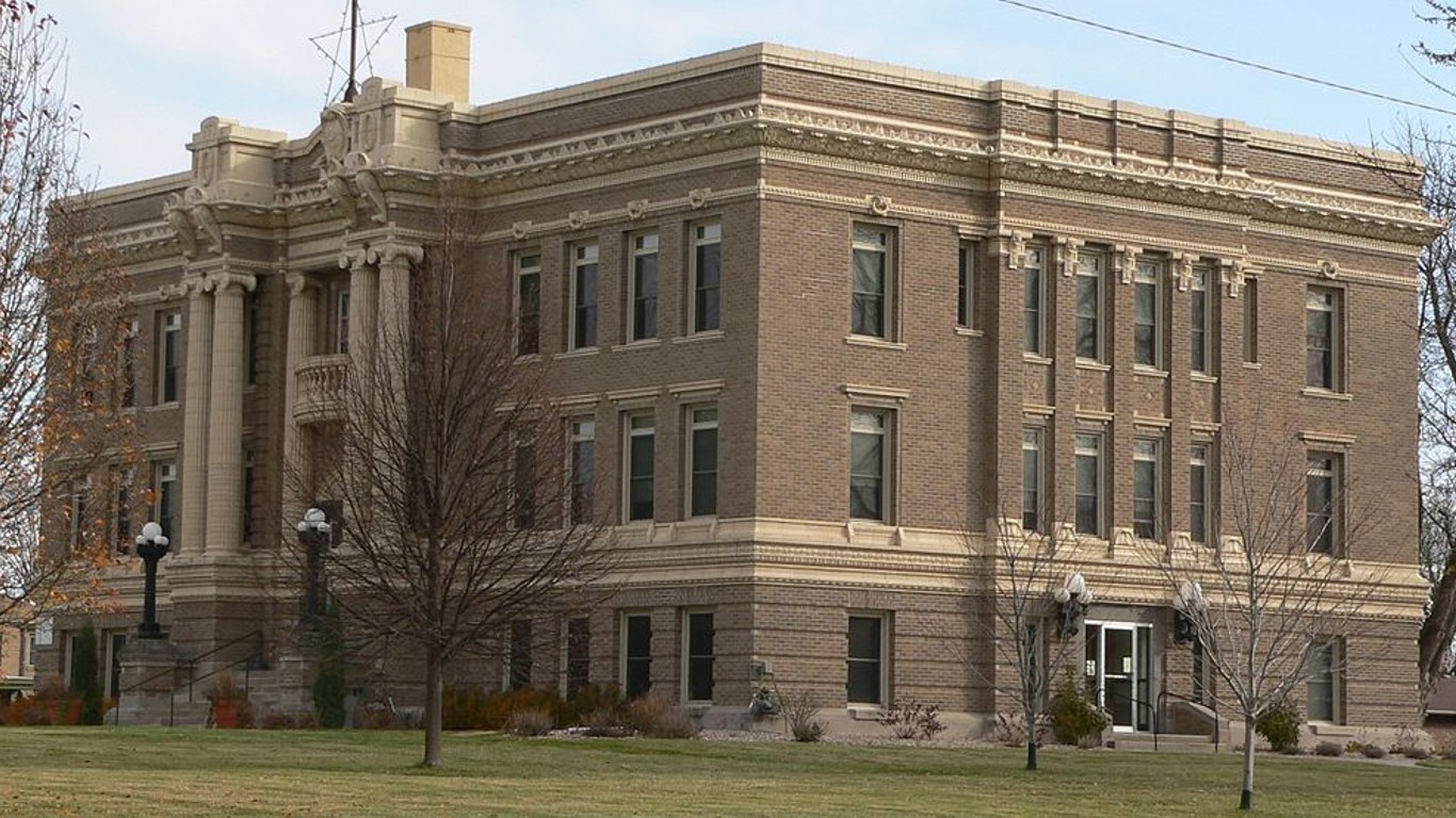
20. Clay, Nebraska
> Land area in “exceptional” drought: 34.8% (199 square miles)
> Population of area in “exceptional” drought: 2,277
> Land area in “extreme” drought: 99.8% (572 square miles)
> Population of area in “extreme” drought: 6,531
[in-text-ad]
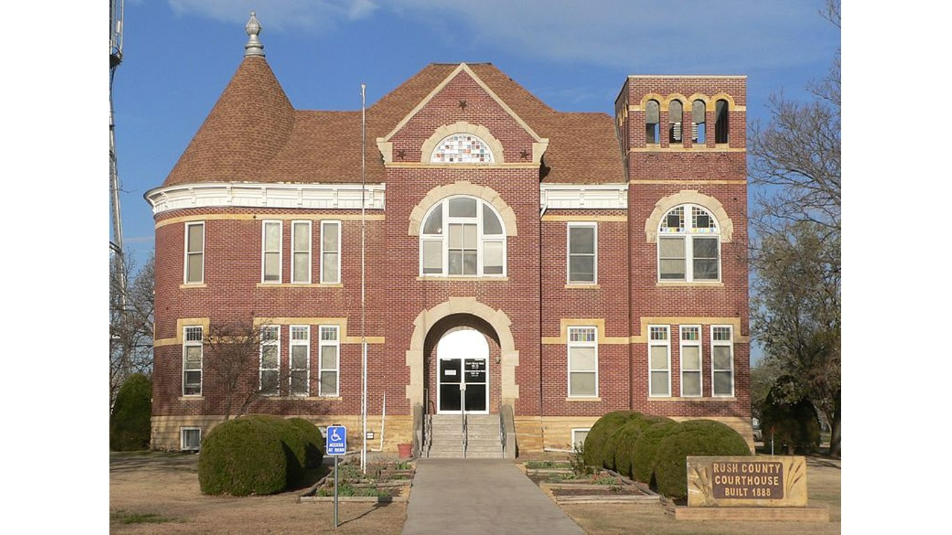
19. Rush, Kansas
> Land area in “exceptional” drought: 37.7% (270 square miles)
> Population of area in “exceptional” drought: 1,246
> Land area in “extreme” drought: 100.0% (717 square miles)
> Population of area in “extreme” drought: 3,307
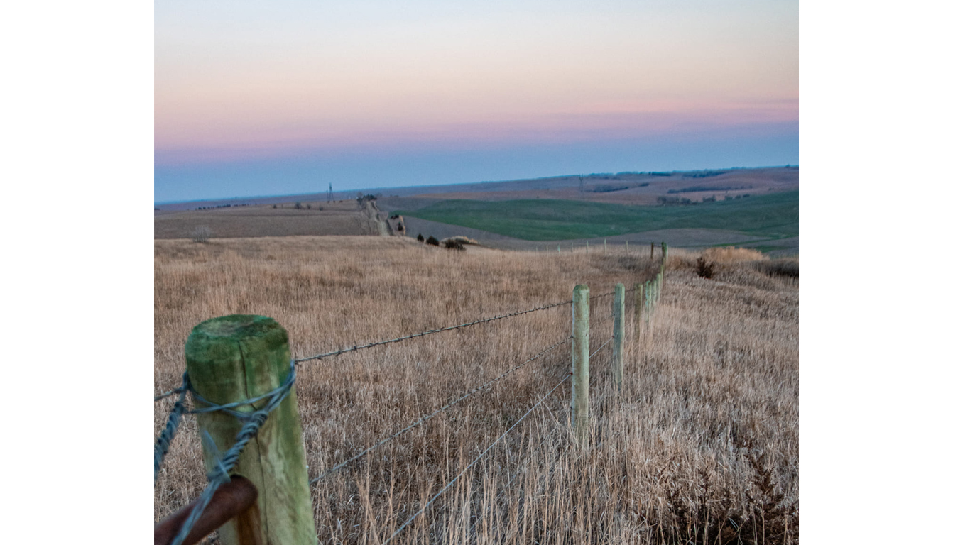
18. Nance, Nebraska
> Land area in “exceptional” drought: 37.7% (169 square miles)
> Population of area in “exceptional” drought: 1,409
> Land area in “extreme” drought: 98.8% (443 square miles)
> Population of area in “extreme” drought: 3,691
17. Osage, Missouri
> Land area in “exceptional” drought: 40.3% (244 square miles)
> Population of area in “exceptional” drought: 5,591
> Land area in “extreme” drought: 100.0% (605 square miles)
> Population of area in “extreme” drought: 13,878
[in-text-ad-2]
16. Cowley, Kansas
> Land area in “exceptional” drought: 40.8% (460 square miles)
> Population of area in “exceptional” drought: 14,808
> Land area in “extreme” drought: 98.3% (1,109 square miles)
> Population of area in “extreme” drought: 35,708
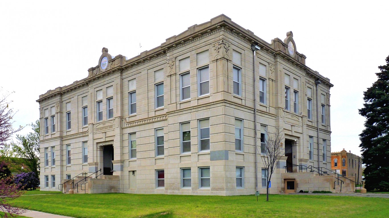
15. Ness, Kansas
> Land area in “exceptional” drought: 42.7% (460 square miles)
> Population of area in “exceptional” drought: 1,328
> Land area in “extreme” drought: 100.0% (1,076 square miles)
> Population of area in “extreme” drought: 3,107
[in-text-ad]
14. Moniteau, Missouri
> Land area in “exceptional” drought: 50.0% (210 square miles)
> Population of area in “exceptional” drought: 7,798
> Land area in “extreme” drought: 100.0% (420 square miles)
> Population of area in “extreme” drought: 15,607
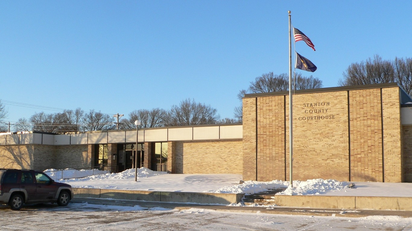
13. Stanton, Nebraska
> Land area in “exceptional” drought: 52.1% (224 square miles)
> Population of area in “exceptional” drought: 3,191
> Land area in “extreme” drought: 100.0% (430 square miles)
> Population of area in “extreme” drought: 6,129
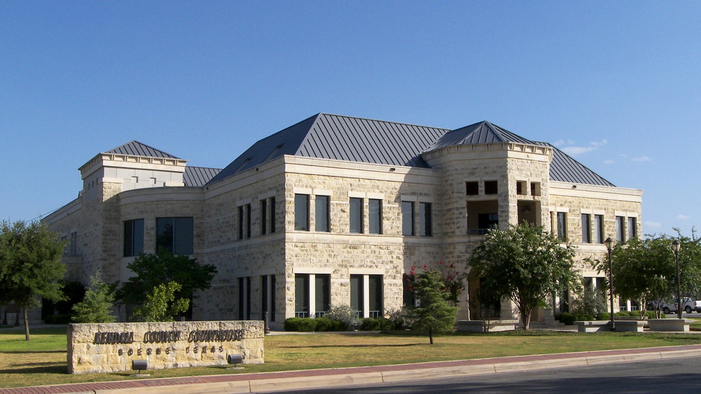
12. Kendall, Texas
> Land area in “exceptional” drought: 56.6% (376 square miles)
> Population of area in “exceptional” drought: 18,915
> Land area in “extreme” drought: 100.0% (665 square miles)
> Population of area in “extreme” drought: 33,410
[in-text-ad-2]
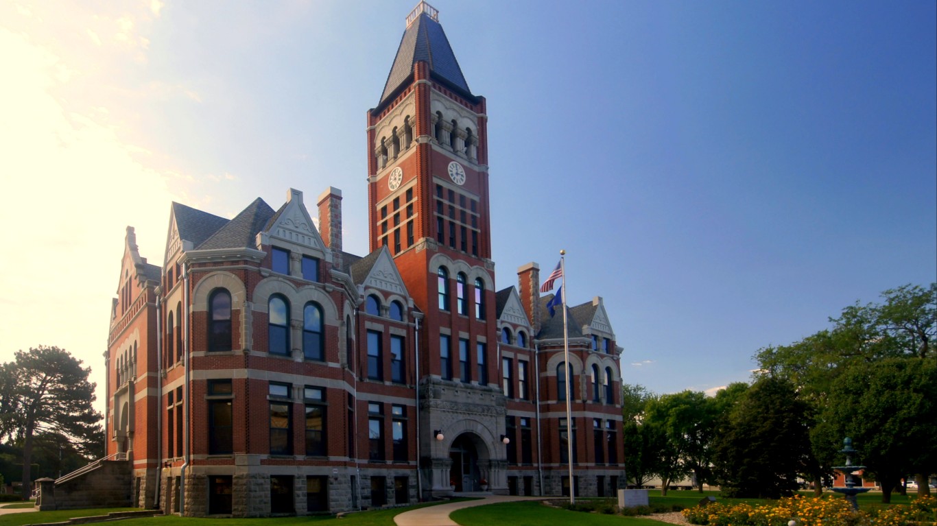
11. Fillmore, Nebraska
> Land area in “exceptional” drought: 61.2% (353 square miles)
> Population of area in “exceptional” drought: 3,602
> Land area in “extreme” drought: 100.0% (577 square miles)
> Population of area in “extreme” drought: 5,890

10. Cole, Missouri
> Land area in “exceptional” drought: 68.6% (269 square miles)
> Population of area in “exceptional” drought: 52,093
> Land area in “extreme” drought: 100.0% (393 square miles)
> Population of area in “extreme” drought: 75,990
[in-text-ad]
9. Pettis, Missouri
> Land area in “exceptional” drought: 70.5% (482 square miles)
> Population of area in “exceptional” drought: 29,753
> Land area in “extreme” drought: 100.0% (683 square miles)
> Population of area in “extreme” drought: 42,201
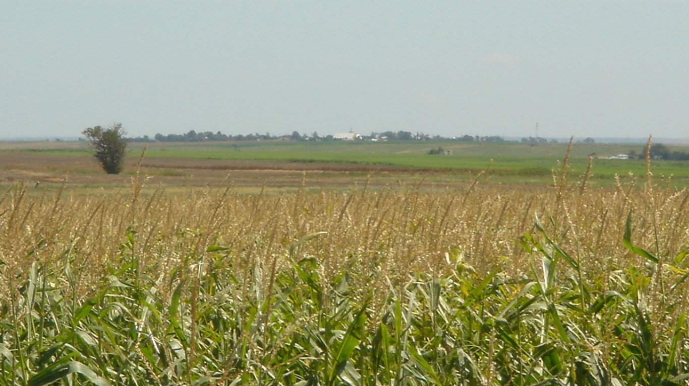
8. Ellis, Kansas
> Land area in “exceptional” drought: 71.1% (642 square miles)
> Population of area in “exceptional” drought: 20,223
> Land area in “extreme” drought: 100.0% (903 square miles)
> Population of area in “extreme” drought: 28,452
7. Morgan, Missouri
> Land area in “exceptional” drought: 77.7% (476 square miles)
> Population of area in “exceptional” drought: 15,969
> Land area in “extreme” drought: 100.0% (613 square miles)
> Population of area in “extreme” drought: 20,565
[in-text-ad-2]
6. Elk, Kansas
> Land area in “exceptional” drought: 79.5% (517 square miles)
> Population of area in “exceptional” drought: 2,291
> Land area in “extreme” drought: 100.0% (650 square miles)
> Population of area in “extreme” drought: 2,882
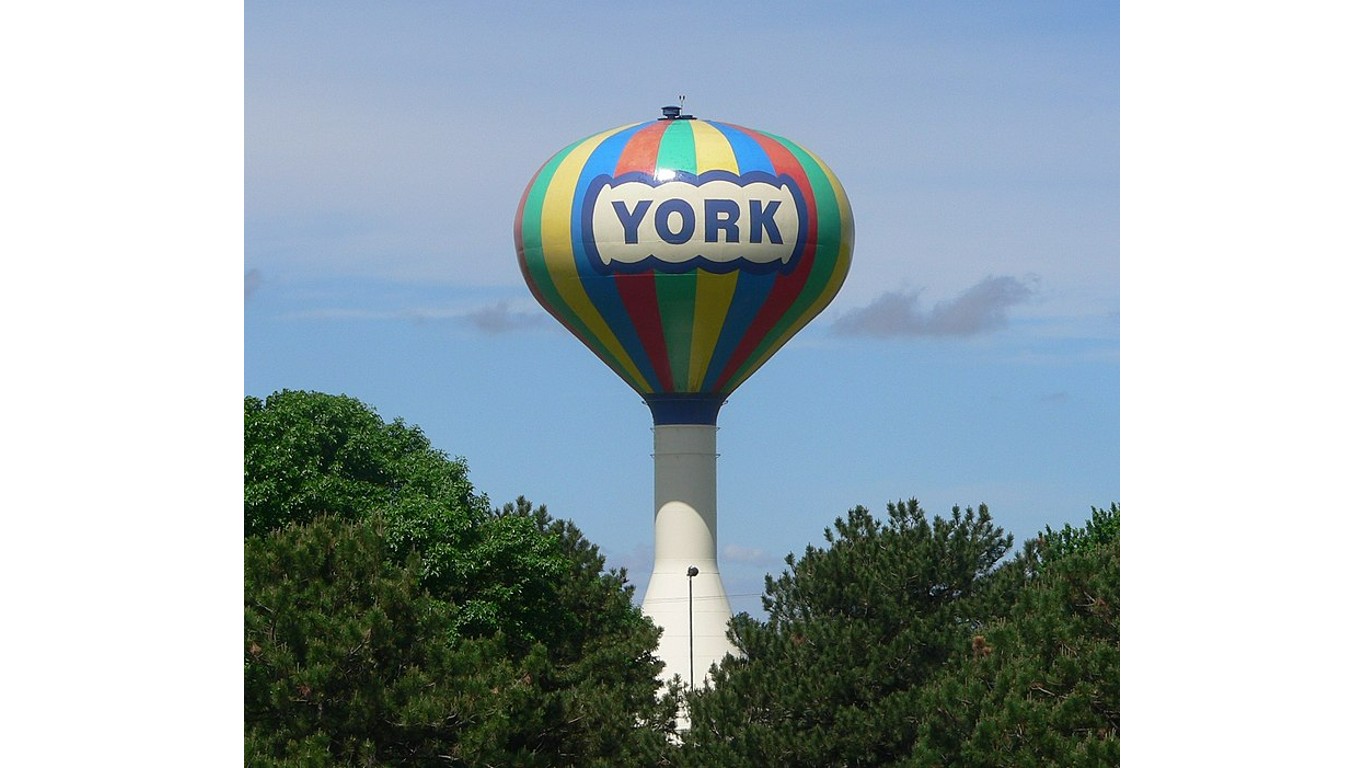
5. York, Nebraska
> Land area in “exceptional” drought: 80.1% (463 square miles)
> Population of area in “exceptional” drought: 10,943
> Land area in “extreme” drought: 100.0% (578 square miles)
> Population of area in “extreme” drought: 13,665
[in-text-ad]
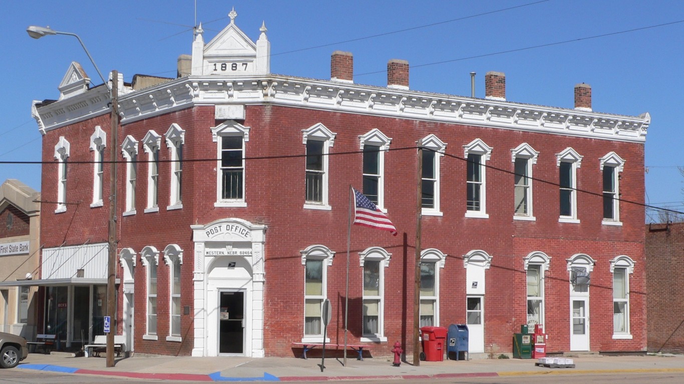
4. Saline, Nebraska
> Land area in “exceptional” drought: 86.1% (495 square miles)
> Population of area in “exceptional” drought: 12,225
> Land area in “extreme” drought: 98.0% (564 square miles)
> Population of area in “extreme” drought: 13,912
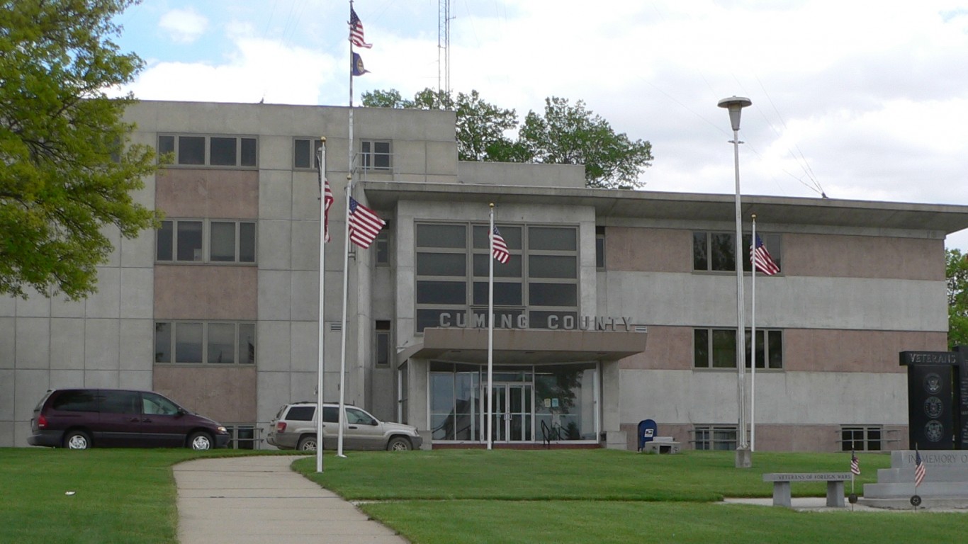
3. Cuming, Nebraska
> Land area in “exceptional” drought: 90.3% (519 square miles)
> Population of area in “exceptional” drought: 8,253
> Land area in “extreme” drought: 100.0% (575 square miles)
> Population of area in “extreme” drought: 9,139
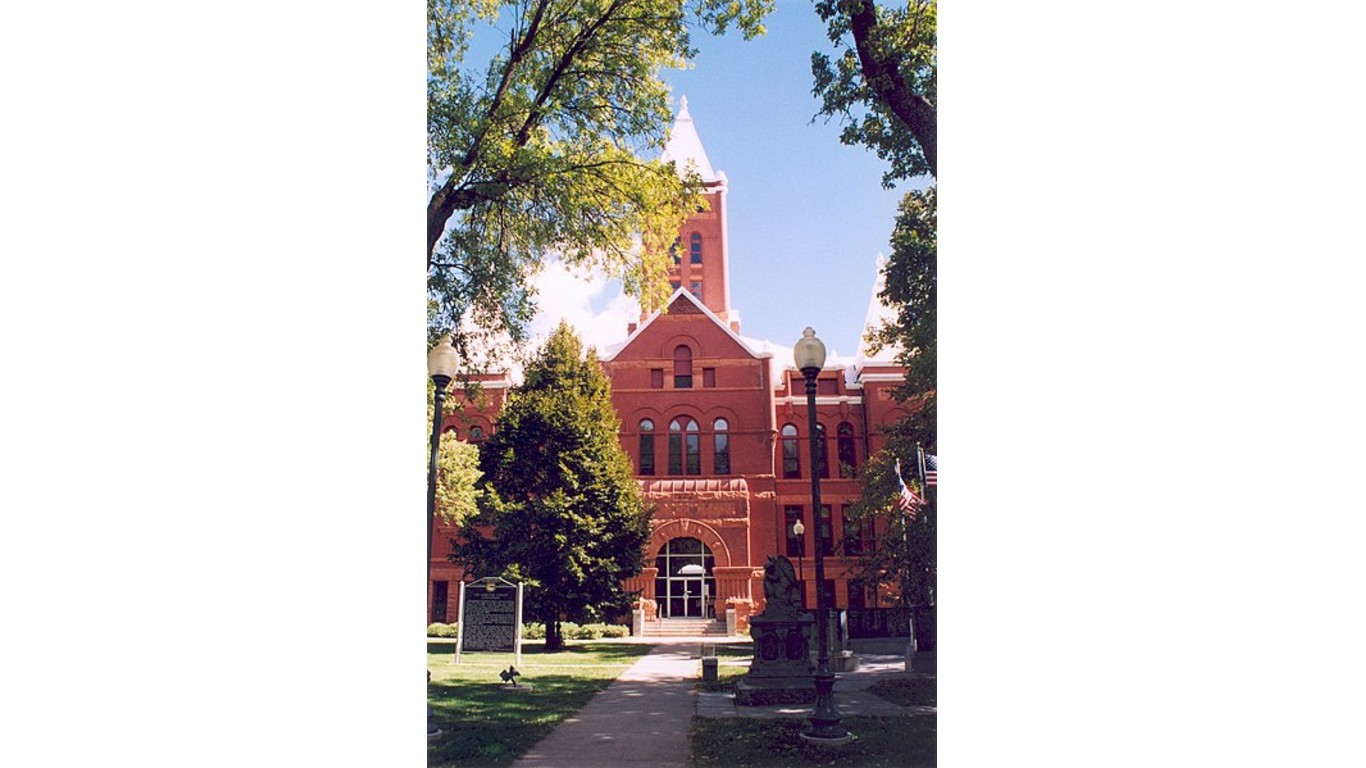
2. Hamilton, Nebraska
> Land area in “exceptional” drought: 94.6% (517 square miles)
> Population of area in “exceptional” drought: 8,634
> Land area in “extreme” drought: 100.0% (546 square miles)
> Population of area in “extreme” drought: 9,124
[in-text-ad-2]
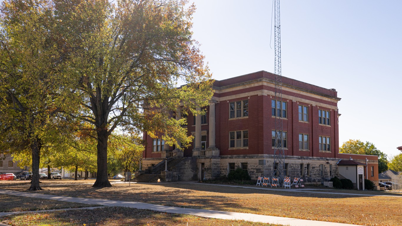
1. Chautauqua, Kansas
> Land area in “exceptional” drought: 97.7% (631 square miles)
> Population of area in “exceptional” drought: 3,584
> Land area in “extreme” drought: 100.0% (646 square miles)
> Population of area in “extreme” drought: 3,669
Are You Ahead, or Behind on Retirement? (sponsor)
If you’re one of the over 4 Million Americans set to retire this year, you may want to pay attention.
Finding a financial advisor who puts your interest first can be the difference between a rich retirement and barely getting by, and today it’s easier than ever. SmartAsset’s free tool matches you with up to three fiduciary financial advisors that serve your area in minutes. Each advisor has been carefully vetted, and must act in your best interests. Start your search now.
Don’t waste another minute; get started right here and help your retirement dreams become a retirement reality.
Thank you for reading! Have some feedback for us?
Contact the 24/7 Wall St. editorial team.
 24/7 Wall St.