With every inch of the nation mapped and a population that increases every year, getting away from it all is getting harder and harder in America. This is the country built on the rugged individualism of frontier folks such as legendary backwoodsman Daniel Boone, who went west in the early days of the republic seeking more “elbow room.” Where can Americans find elbow room these days?
To find the middle of nowhere in every state, 24/7 Wall St. reviewed A global map of travel time to cities to assess inequalities in accessibility in 2015 published Jan. 10, 2018, in the scientific publication Nature. For each state we identified the location with the longest estimated travel time to the nearest city. Travel times take into account all forms of travel as well as the quality of transportation infrastructure.
The United States is the third-most populous country on Earth, with a population of almost 335 million, according to the U.S. Census Bureau. The population density of the U.S. today is more than 20 times what it was in 1790, when the first census was taken. In high-income nations such as the United States, 90% of the population lives within one hour of a city. While living near urban centers tends to come with social and economic benefits to residents, adventurous souls can still find some corners of America that remain remote. (Also see the best cities to move to.)
Among the most remote places in each state, there are five where it takes less than two hours to be in the middle of nowhere. Finding the most remote area is hardest in the eastern United States. Three of the smallest states — Connecticut, New Jersey, and Rhode Island — have the shortest travel time to their most remote area from the nearest city. Connecticut’s travel duration — measured by foot, boat, car, or plane — is the shortest at 52 minutes. The farthest? That would be Amatignak Island, Aleutian Islands, in Alaska at 84 hours, 37 minutes. (And here are America’s fastest growing big cities.)
Click here to see the middle of nowhere in each state.
1. Alabama
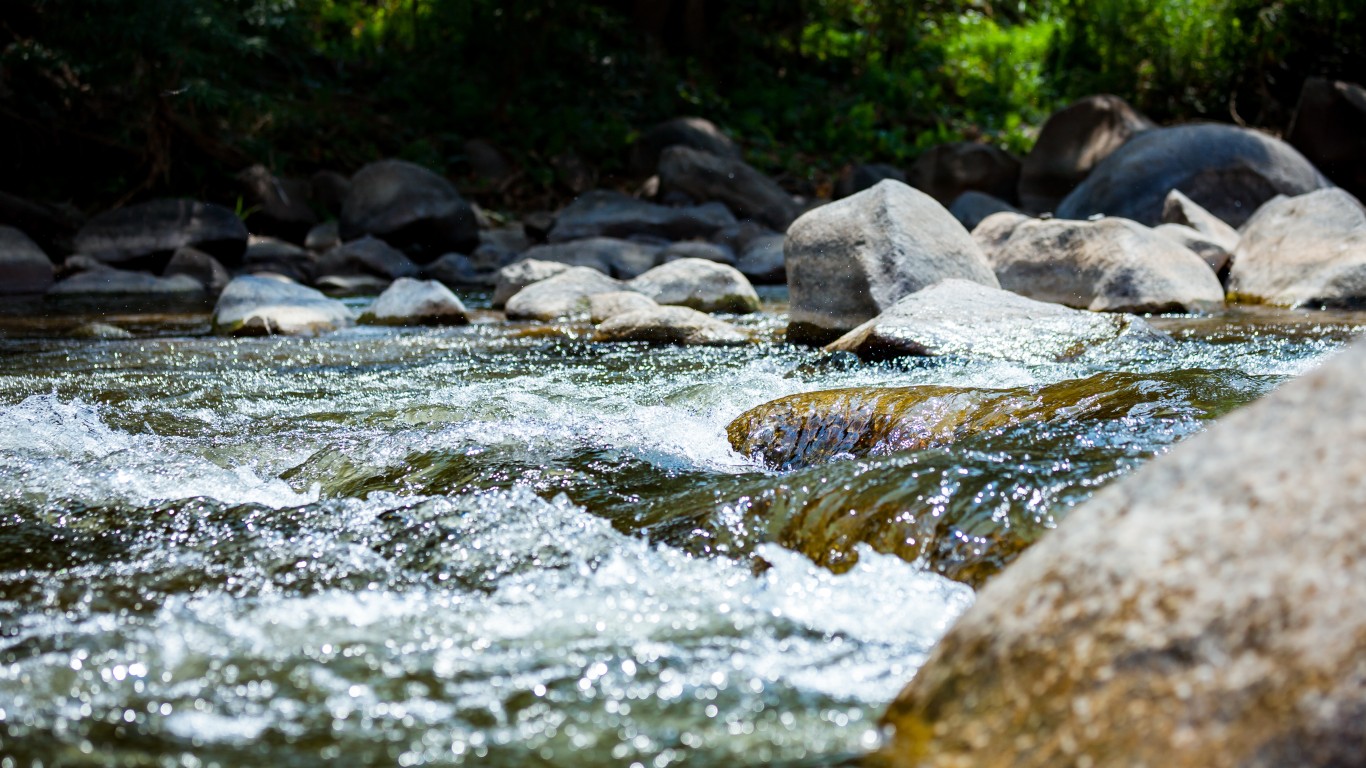
> Middle of nowhere: Terminus of Carmichael Creek
> Distance from nearest city: 2 hours, 48 minutes
> GPS coordinates: 32°06’15″N, 88°23’45″W
[in-text-ad]
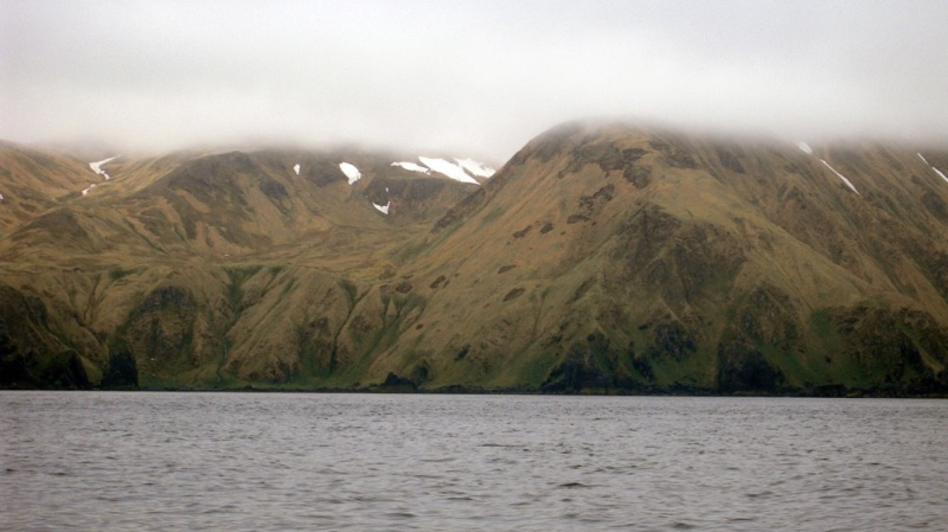
2. Alaska
> Middle of nowhere: Amatignak Island, Aleutian Islands
> Distance from nearest city: 84 hours, 37 minutes
> GPS coordinates: 51°13’15″N, 179°07’15″W
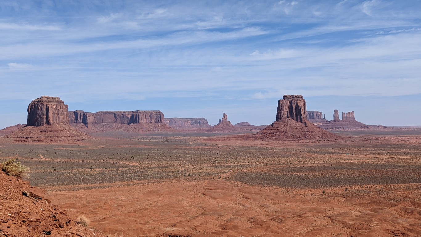
3. Arizona
> Middle of nowhere: Navajo Nation, near Utah border
> Distance from nearest city: 11 hours, 32 minutes
> GPS coordinates: 36°59’15″N, 111°04’45″W
4. Arkansas
> Middle of nowhere: Southeast corner of state
> Distance from nearest city: 3 hours, 29 minutes
> GPS coordinates: 33°02’15″N, 91°08’45″W
[in-text-ad-2]
5. California
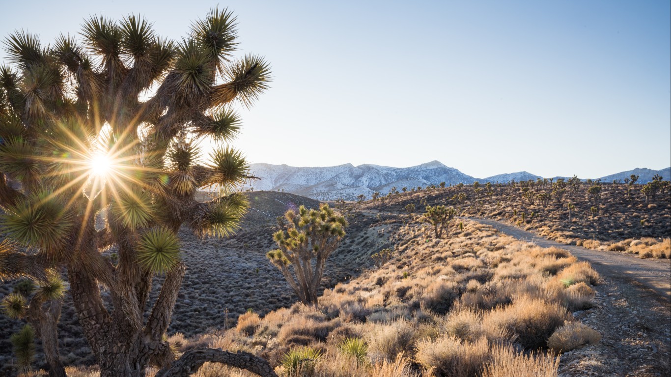
> Middle of nowhere: 1.5 miles northeast of Keynot Peak
> Distance from nearest city: 10 hours, 42 minutes
> GPS coordinates: 36°43’45″N, 117°56’45″W
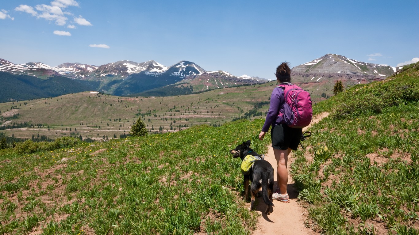
6. Colorado
> Middle of nowhere: Willow Creek, San Juan National Forest
> Distance from nearest city: 9 hours, 56 minutes
> GPS coordinates: 37°31’45″N, 107°24’45″W
[in-text-ad]
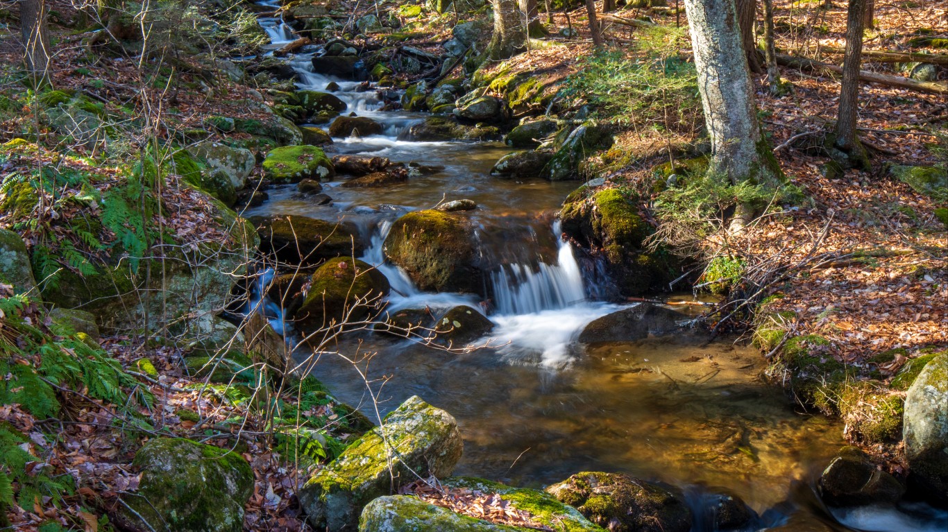
7. Connecticut
> Middle of nowhere: Between McDuffee and Burton brooks
> Distance from nearest city: 0 hours, 52 minutes
> GPS coordinates: 41°59’15″N, 73°28’45″W
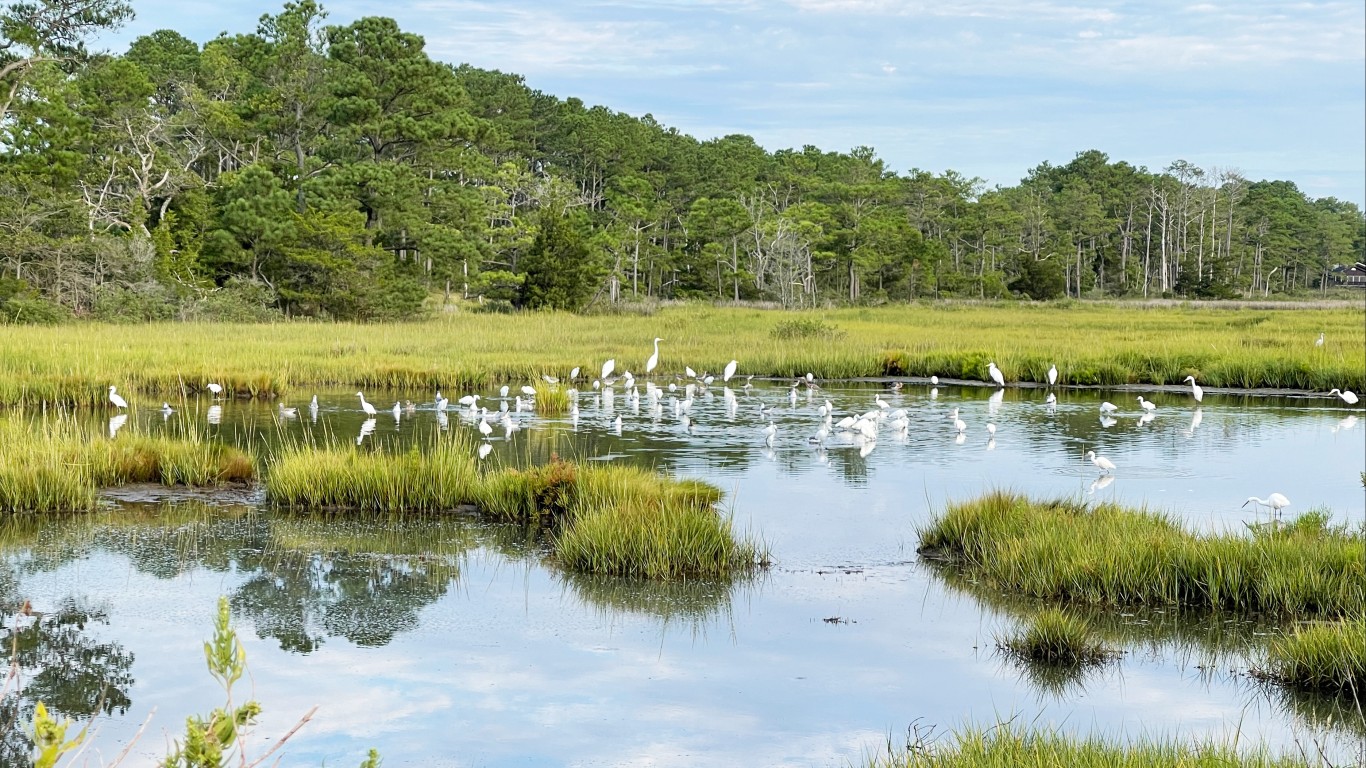
8. Delaware
> Middle of nowhere: Bennett Point, Assawoman Wildlife Area
> Distance from nearest city: 1 hour, 56 minutes
> GPS coordinates: 38°28’45″N, 75°04’15″W
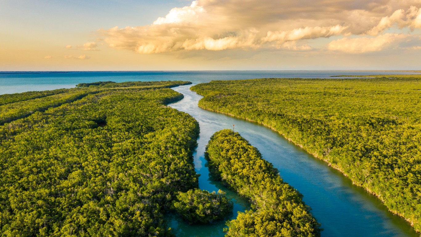
9. Florida
> Middle of nowhere: East of Miccosukee Reservation, The Everglades
> Distance from nearest city: 7 hours, 39 minutes
> GPS coordinates: 25°58’45″N, 80°42’15″W
[in-text-ad-2]
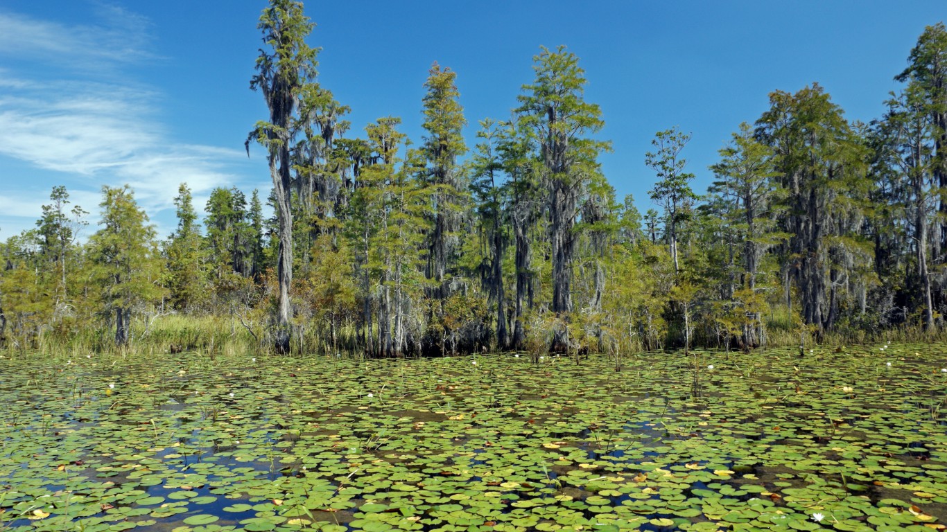
10. Georgia
> Middle of nowhere: Center of Okefenokee National Wildlife Refuge
> Distance from nearest city: 5 hours, 23 minutes
> GPS coordinates: 30°42’45″N, 82°17’45″W
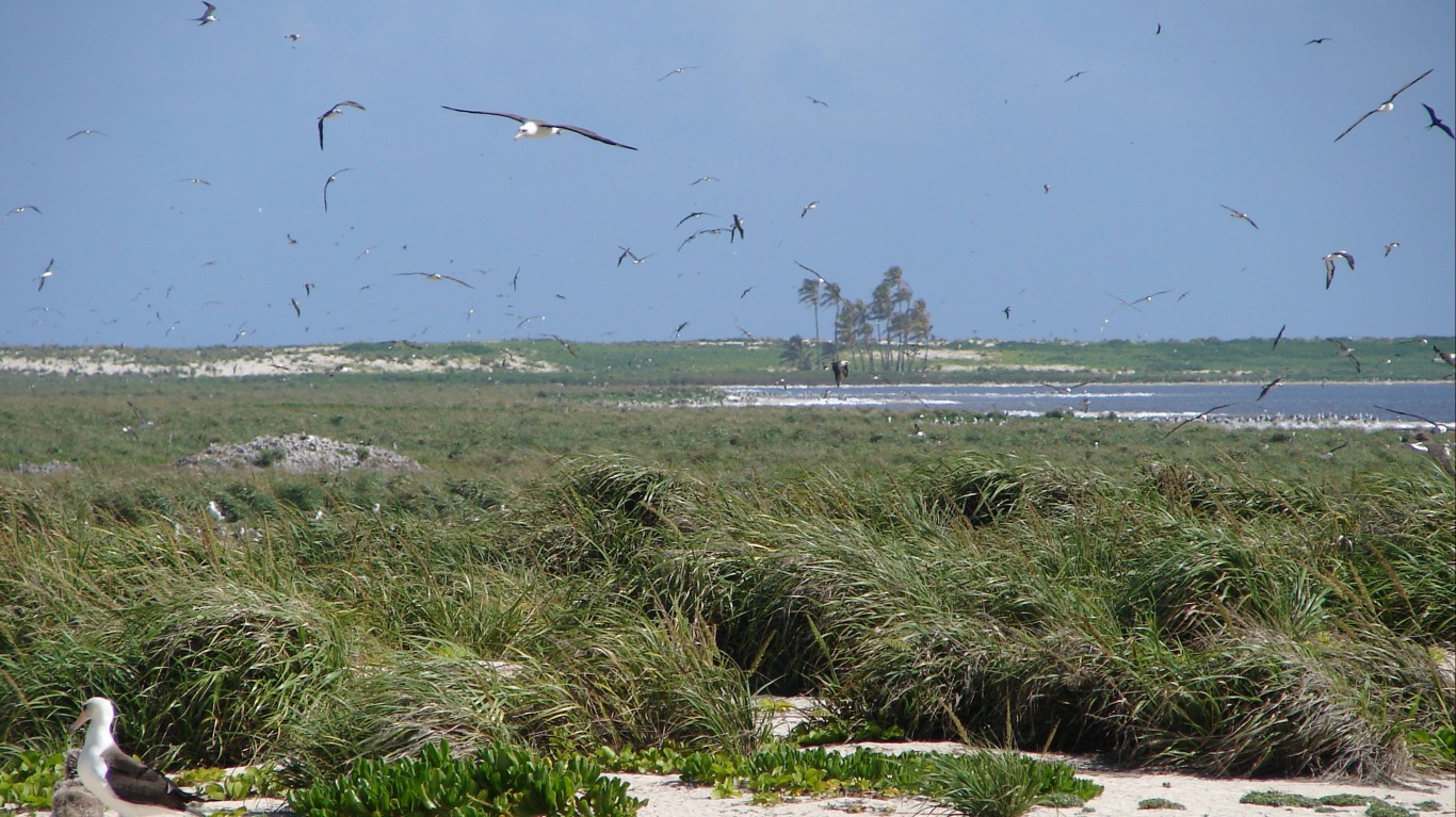
11. Hawaii
> Middle of nowhere: Laysan Island
> Distance from nearest city: 80 hours, 50 minutes
> GPS coordinates: 25°45’15″N, 171°43’45″W
[in-text-ad]
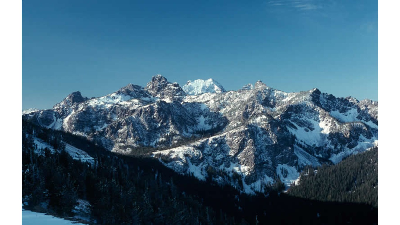
12. Idaho
> Middle of nowhere: Near Cottonwood Butte, Payette National Forest
> Distance from nearest city: 16 hours, 11 minutes
> GPS coordinates: 45°18’15″N, 114°49’15″W
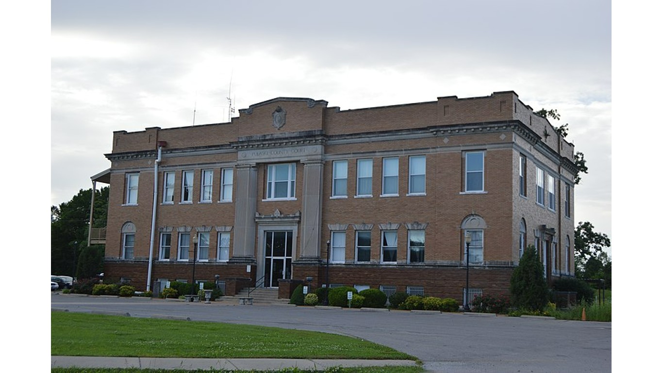
13. Illinois
> Middle of nowhere: North of Mound City, on the Ohio River
> Distance from nearest city: 2 hours, 45 minutes
> GPS coordinates: 37°06’20.0″N 89°07’57.3″W
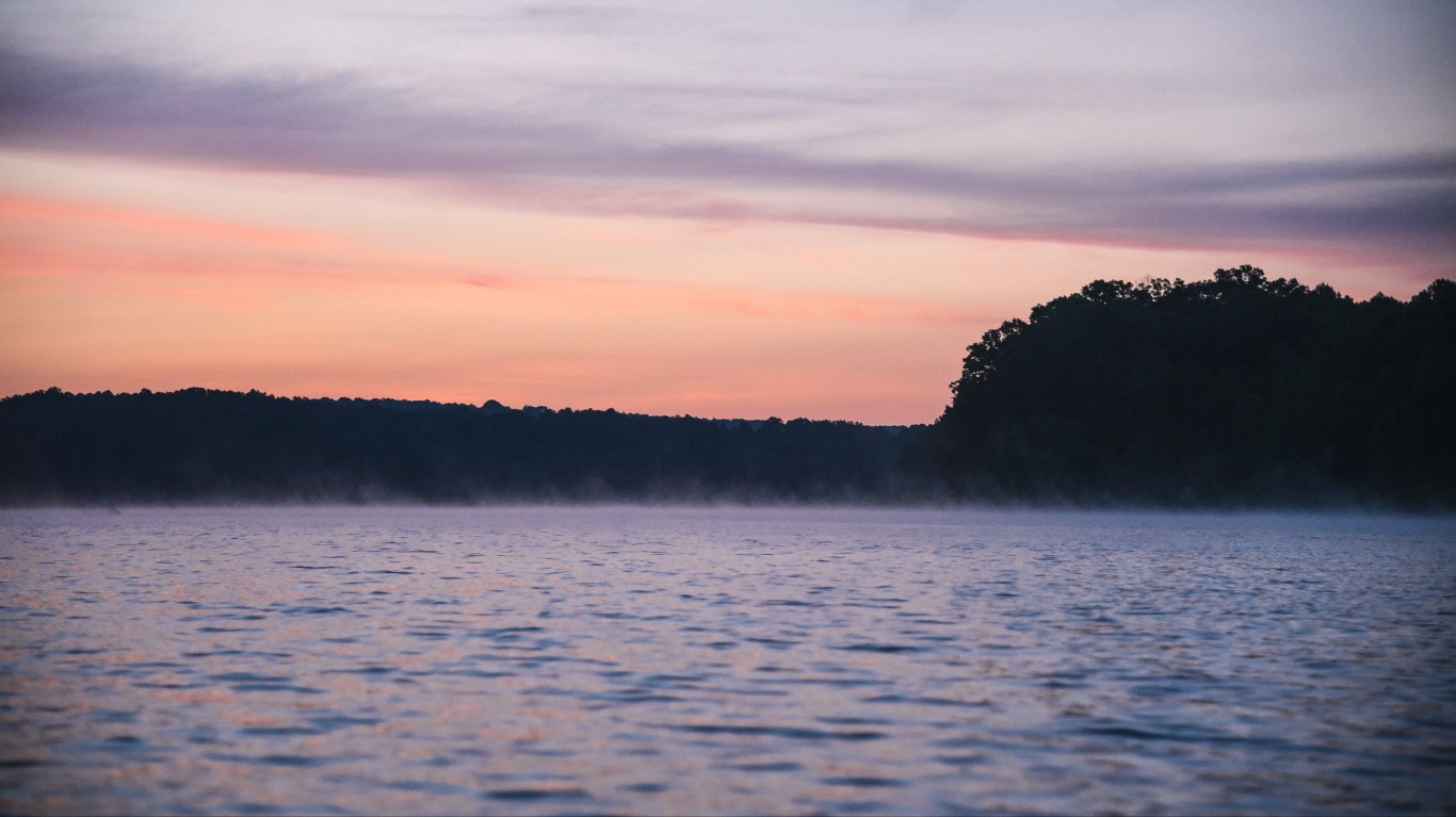
14. Indiana
> Middle of nowhere: Patoka Lake, Hoosier National Forest
> Distance from nearest city: 1 hour, 39 minutes
> GPS coordinates: 38°25’45″N, 86°40’15″W
[in-text-ad-2]
15. Iowa
> Middle of nowhere: 3 miles west of Titonka
> Distance from nearest city: 2 hours, 43 minutes
> GPS coordinates: 43°13’15″N, 94°05’45″W
16. Kansas
> Middle of nowhere: 7 miles south of Elkader
> Distance from nearest city: 5 hours, 3 minutes
> GPS coordinates: 38°44’45″N, 100°43’45″W
[in-text-ad]
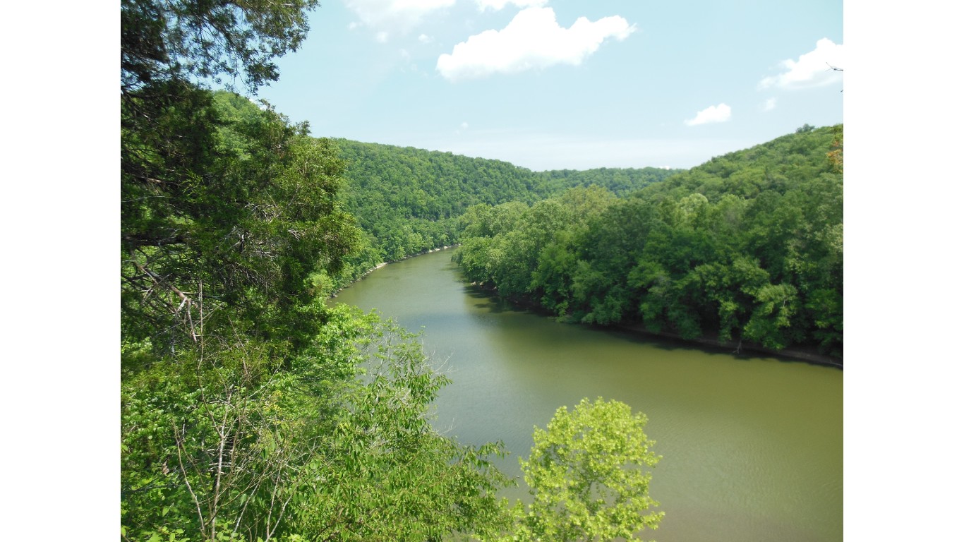
17. Kentucky
> Middle of nowhere: 2 miles southwest of Route 1112
> Distance from nearest city: 2 hours, 59 minutes
> GPS coordinates: 37°41’45″N, 82°27’15″W
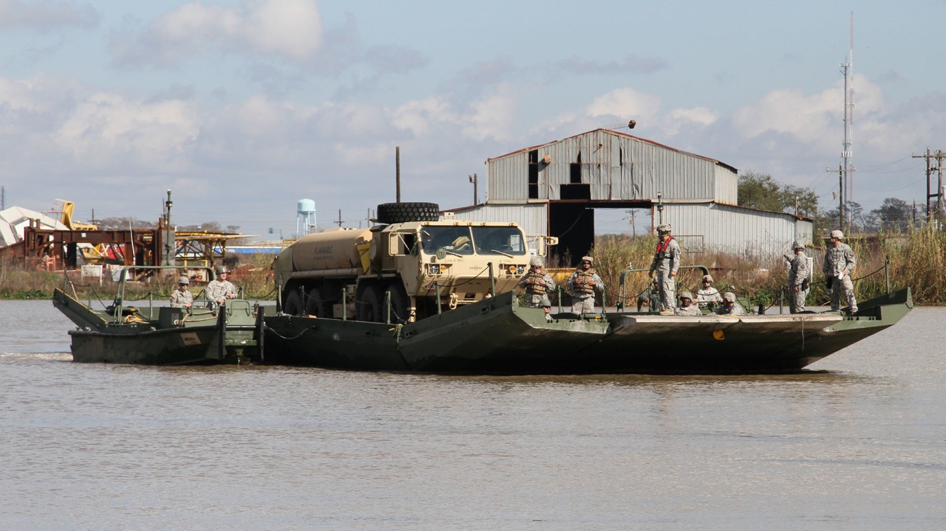
18. Louisiana
> Middle of nowhere: Avoca Island Cutoff
> Distance from nearest city: 6 hours, 51 minutes
> GPS coordinates: 29°29’15″N, 91°04’15″W
19. Maine
> Middle of nowhere: Shoreline of Munsungan Lake
> Distance from nearest city: 6 hours, 56 minutes
> GPS coordinates: 46°22’15″N, 68°59’15″W
[in-text-ad-2]

20. Maryland
> Middle of nowhere: Shoreline of Smith Island
> Distance from nearest city: 2 hours, 56 minutes
> GPS coordinates: 38°01’45″N, 76°00’45″W
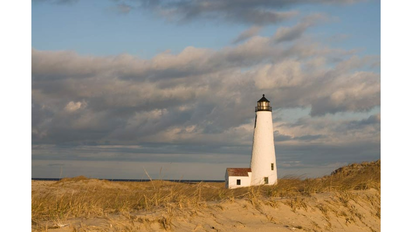
21. Massachusetts
> Middle of nowhere: Forked Pond Valley, Nantucket
> Distance from nearest city: 3 hours, 5 minutes
> GPS coordinates: 41°14’15″N, 70°01’15″W
[in-text-ad]
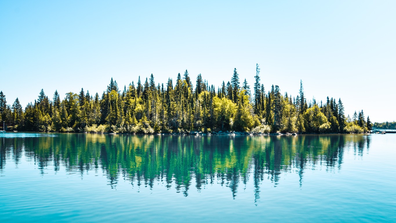
22. Michigan
> Middle of nowhere: West of Newt Lake, Isle Royale
> Distance from nearest city: 11 hours, 41 minutes
> GPS coordinates: 48°03’45″N, 88°37’15″W
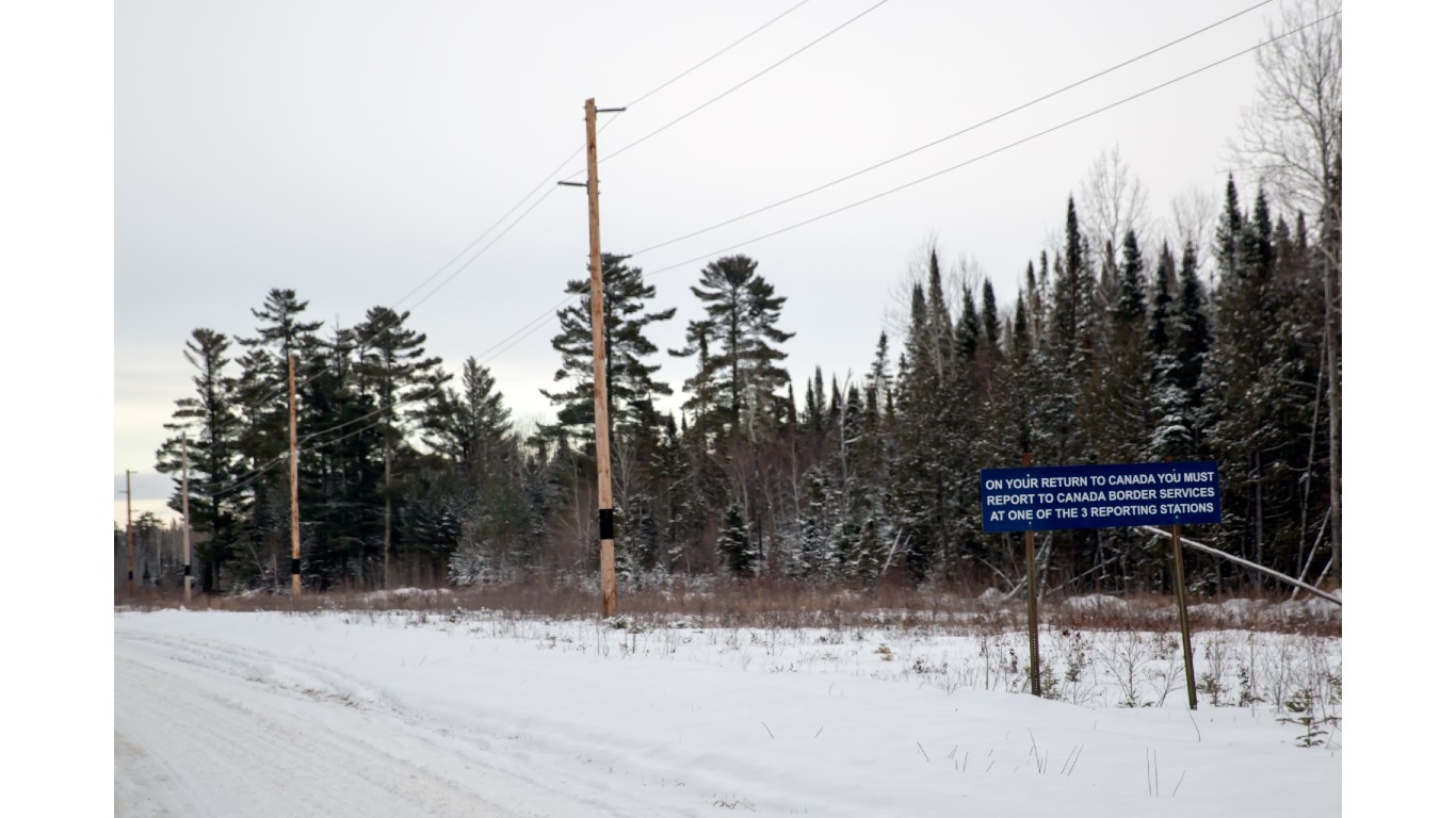
23. Minnesota
> Middle of nowhere: Coleman Island, Canadian border
> Distance from nearest city: 10 hours, 40 minutes
> GPS coordinates: 48°18’45″N, 92°01’15″W
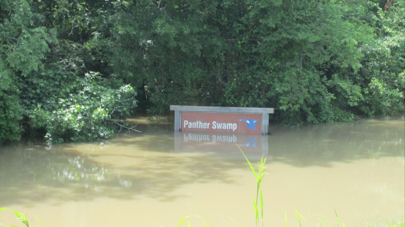
24. Mississippi
> Middle of nowhere: Panther Swamp Wildlife Refuge
> Distance from nearest city: 4 hours, 2 minutes
> GPS coordinates: 32°49’15″N, 90°33’15″W
[in-text-ad-2]
25. Missouri
> Middle of nowhere: 3 miles South of Wilderness
> Distance from nearest city: 3 hours, 36 minutes
> GPS coordinates: 36°44’45″N, 91°10’45″W
26. Montana
> Middle of nowhere: 3.5 miles West of Gordon Mountain
> Distance from nearest city: 16 hours, 7 minutes
> GPS coordinates: 47°25’15″N, 113°15’15″W
[in-text-ad]
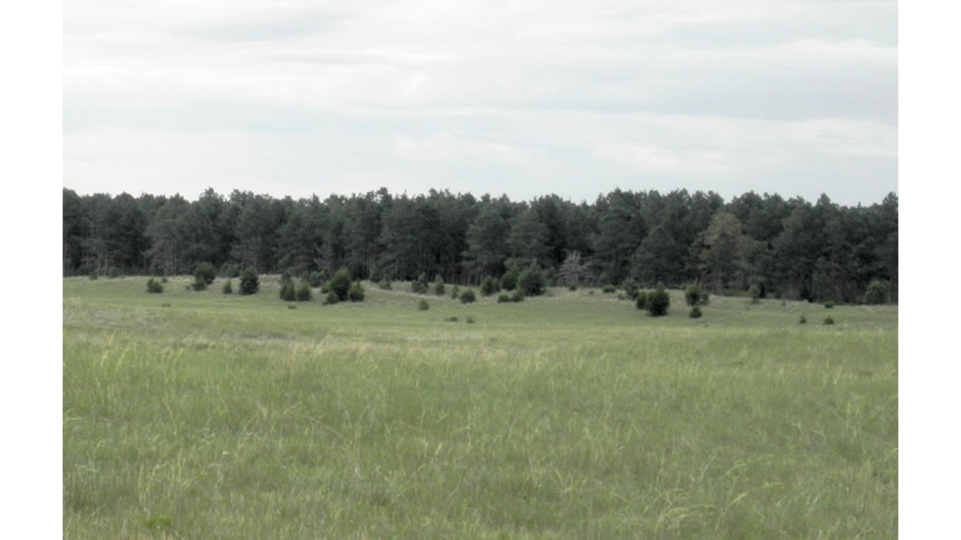
27. Nebraska
> Middle of nowhere: West of Samuel R. McKelvie National Forest
> Distance from nearest city: 7 hours, 49 minutes
> GPS coordinates: 42°35’15″N, 101°29’15″W
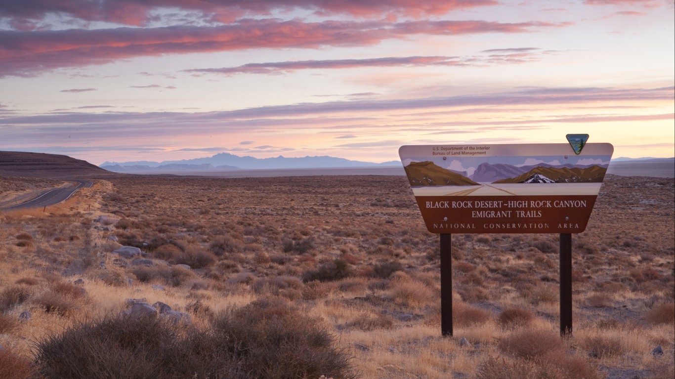
28. Nevada
> Middle of nowhere: Black Rock Desert Wilderness
> Distance from nearest city: 10 hours, 21 minutes
> GPS coordinates: 41°15’45″N, 118°45’15″W
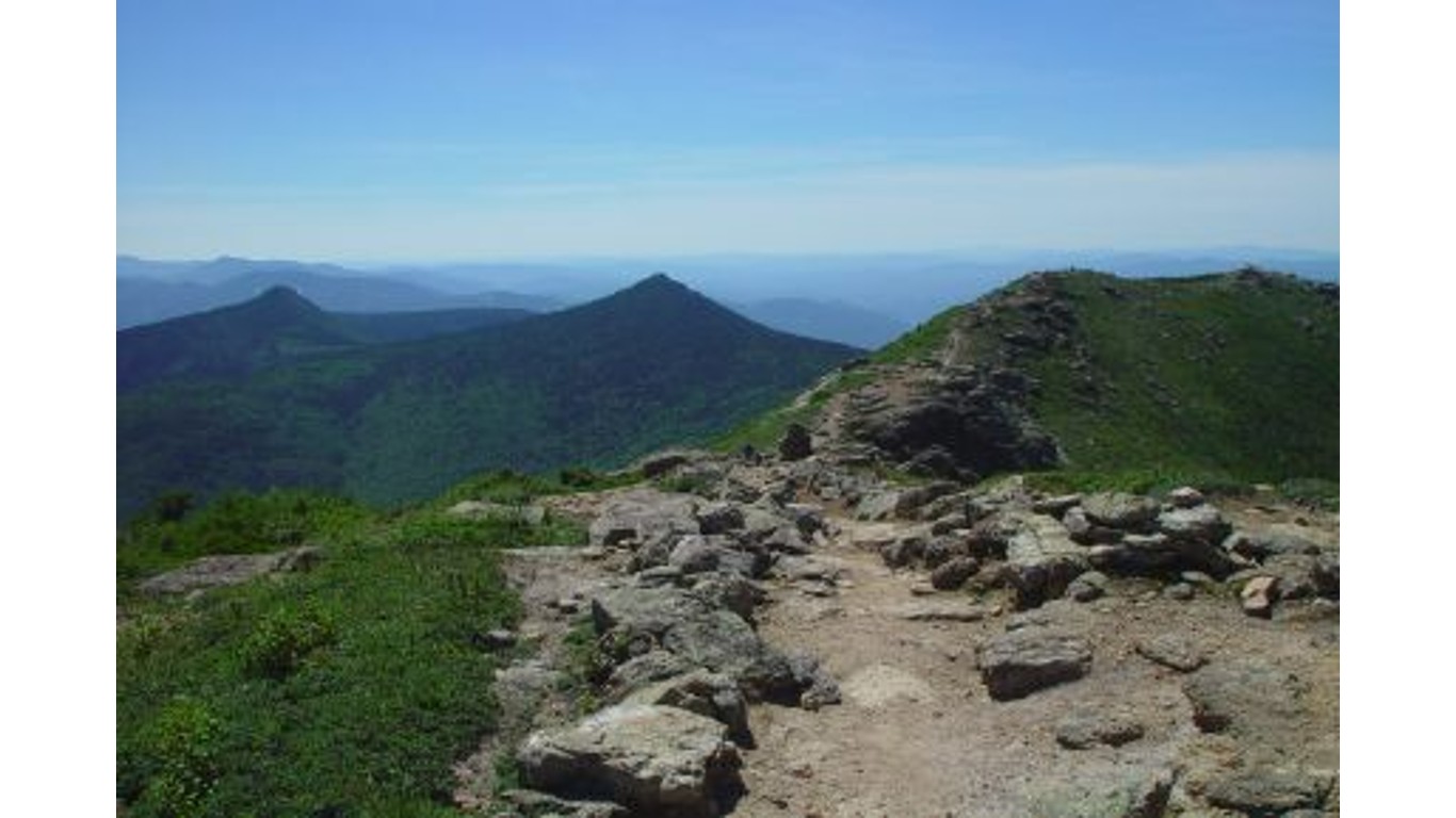
29. New Hampshire
> Middle of nowhere: 5 miles Northwest of Mount Cabot
> Distance from nearest city: 3 hours, 10 minutes
> GPS coordinates: 44°32’15″N, 71°26’45″W
[in-text-ad-2]
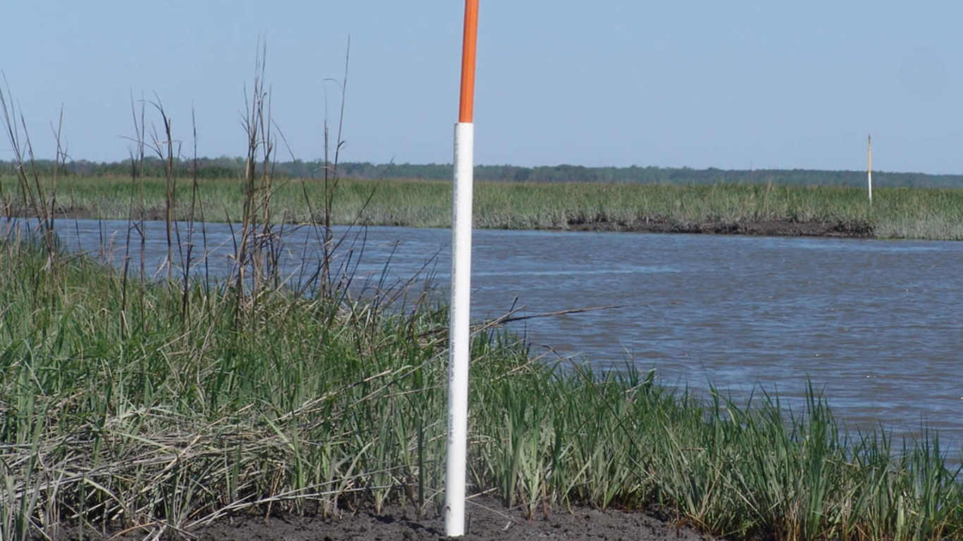
30. New Jersey
> Middle of nowhere: Eastern shoreline of Egg Island Fish and Wildlife
> Distance from nearest city: 1 hour, 22 minutes
> GPS coordinates: 39°11’44.0″N 75°07’41.7″W
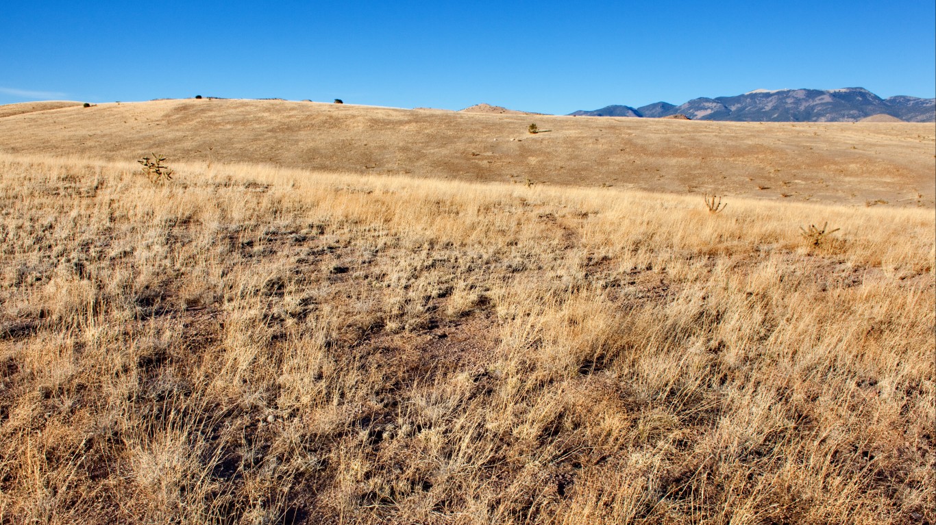
31. New Mexico
> Middle of nowhere: About 1 mile southwest of Milligan Mountain
> Distance from nearest city: 6 hours, 58 minutes
> GPS coordinates: 33°40’15″N, 108°39’45″W
[in-text-ad]
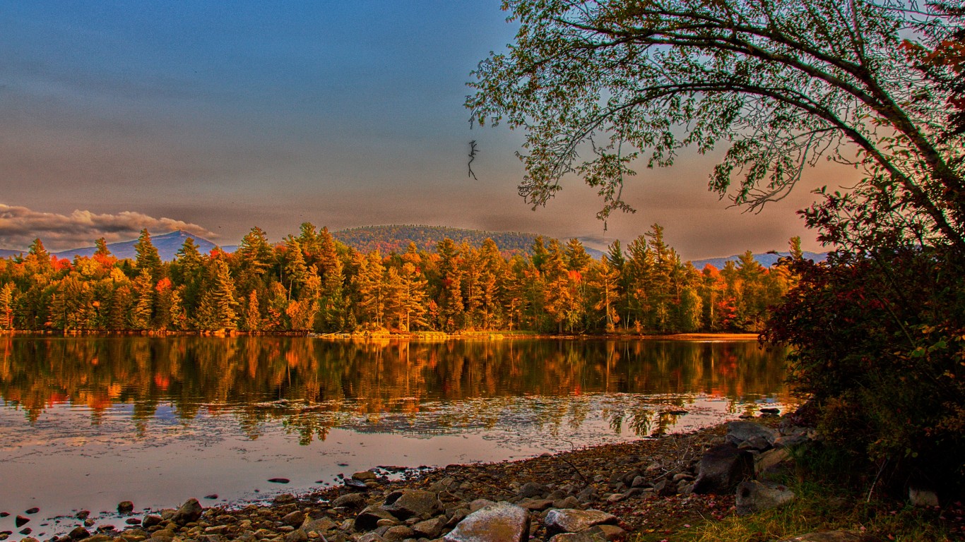
32. New York
> Middle of nowhere: Five Ponds Wilderness, Adirondack Mountains
> Distance from nearest city: 4 hours, 58 minutes
> GPS coordinates: 43°59’15″N, 74°56’15″W
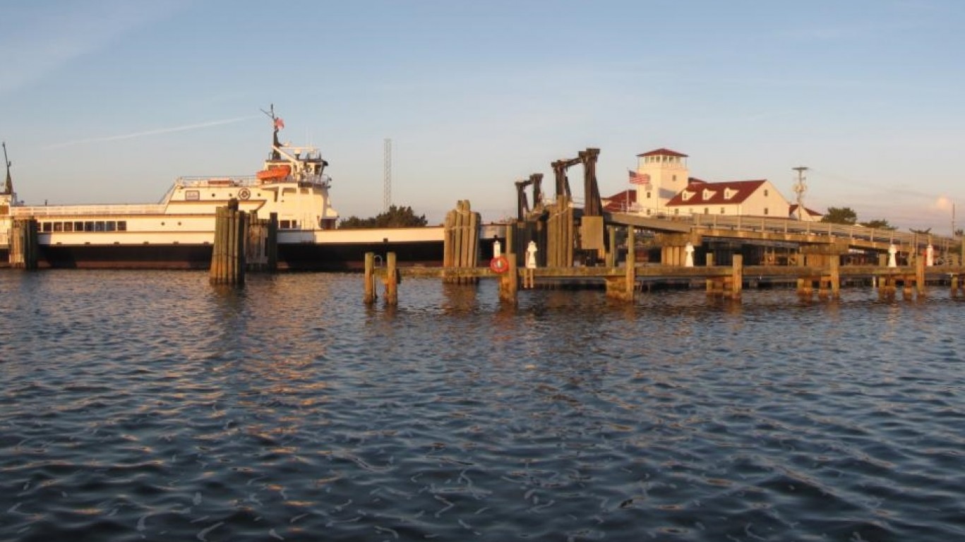
33. North Carolina
> Middle of nowhere: Ocracoke
> Distance from nearest city: 3 hours, 12 minutes
> GPS coordinates: 35°05’45″N, 75°58’15″W
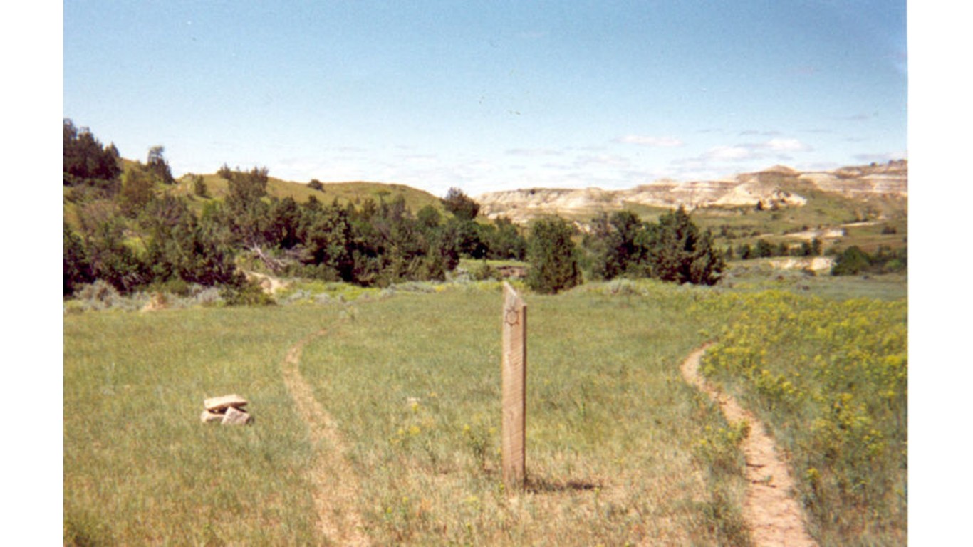
34. North Dakota
> Middle of nowhere: Less than 1 mile south of Devil’s Pass
> Distance from nearest city: 6 hours, 53 minutes
> GPS coordinates: 47°17’15″N, 103°31’45″W
[in-text-ad-2]
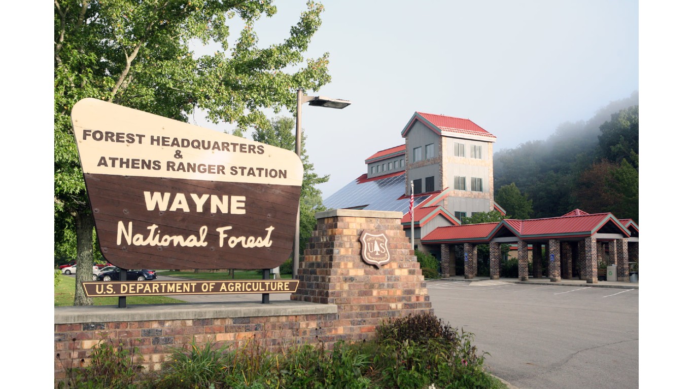
35. Ohio
> Middle of nowhere: North of Paddle Creek Horse Camp, Wayne National Forest
> Distance from nearest city: 2 hours, 7 minutes
> GPS coordinates: 38°38’15″N, 82°35’15″W
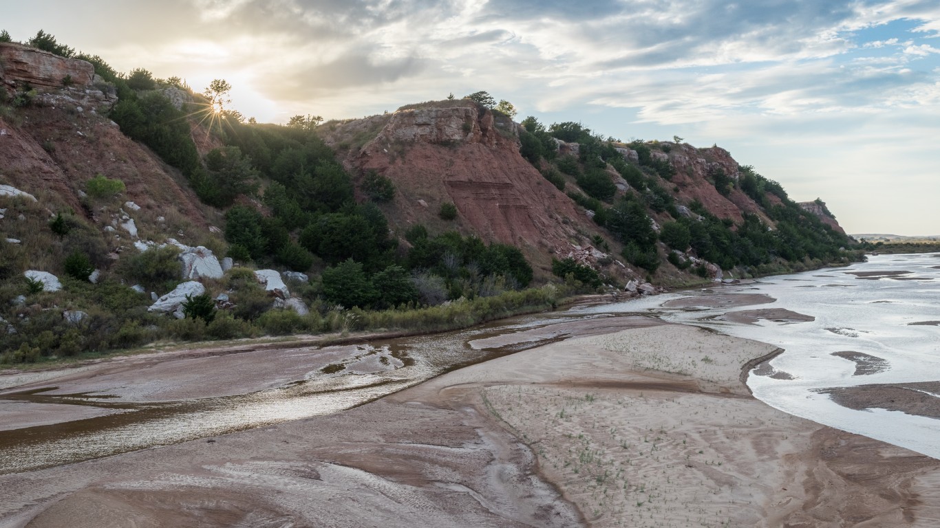
36. Oklahoma
> Middle of nowhere: South of Kansas-Oklahoma border, by Cimarron River
> Distance from nearest city: 3 hours, 47 minutes
> GPS coordinates: 36°59’15″N, 99°51’15″W
[in-text-ad]
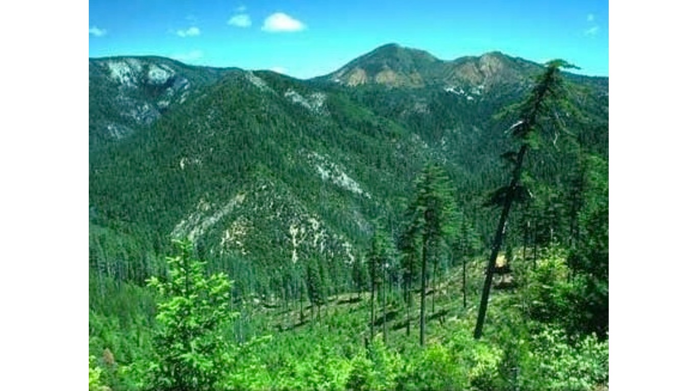
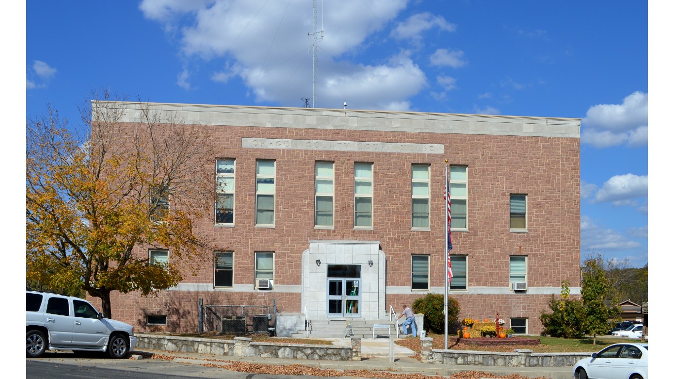
37. Oregon
> Middle of nowhere: About 4 miles east of Big Craggies, Rogue River-Siskiyou National Forest
> Distance from nearest city: 8 hours, 51 minutes
> GPS coordinates: 42°21’45″N, 123°58’45″W
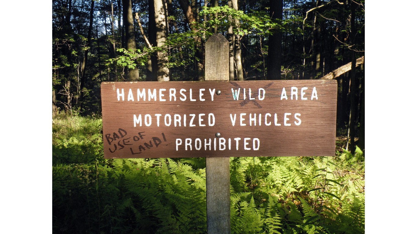
38. Pennsylvania
> Middle of nowhere: About 1 mile south of Hailstone Hollow, Hammersley Wild Area
> Distance from nearest city: 2 hours, 47 minutes
> GPS coordinates: 41°31’45″N, 77°52’15″W
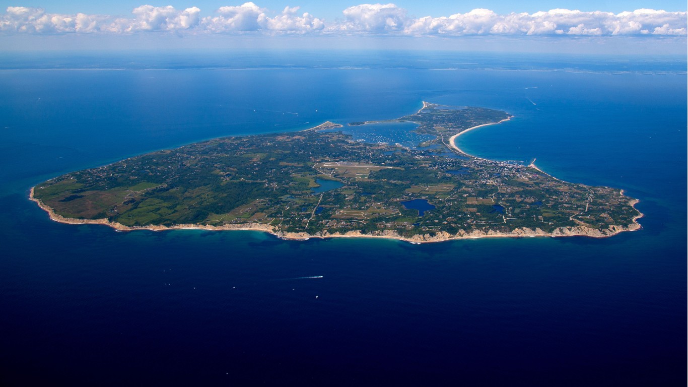
39. Rhode Island
> Middle of nowhere: Schooner Point, Block Island
> Distance from nearest city: 1 hour, 35 minutes
> GPS coordinates: 41°09’15″N, 71°36’45″W
[in-text-ad-2]
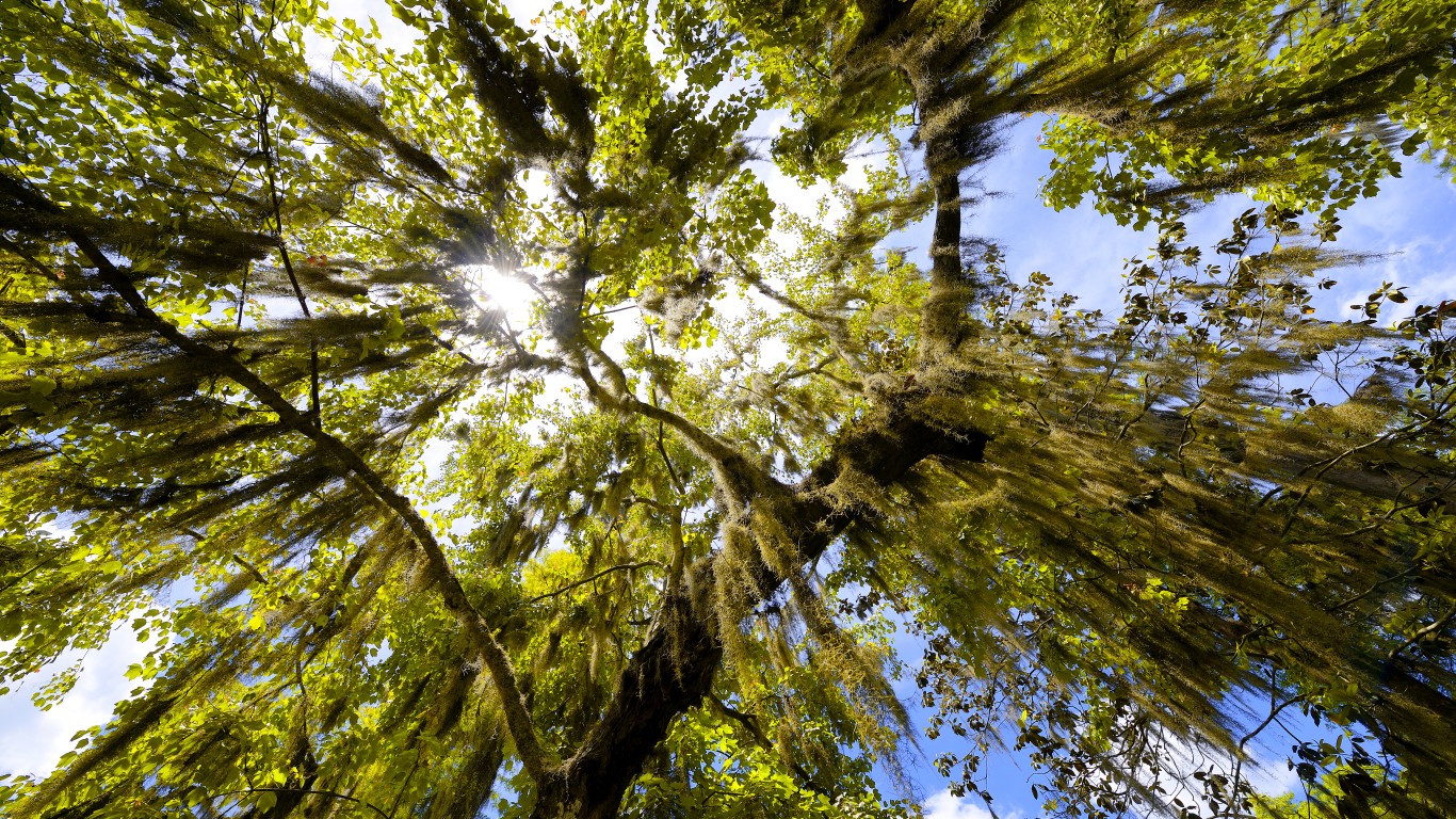
40. South Carolina
> Middle of nowhere: Cane Island, Santee Coastal Reserve
> Distance from nearest city: 2 hours, 47 minutes
> GPS coordinates: 33°09’45″N, 79°15’45″W
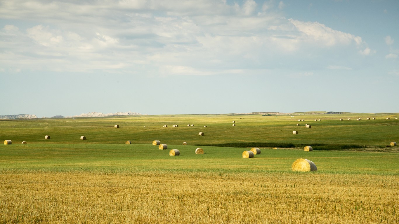
41. South Dakota
> Middle of nowhere: Unnamed road, about 3 miles south of Bradley Bauer Ranch
> Distance from nearest city: 8 hours, 11 minutes
> GPS coordinates: 44°42’15″N, 102°55’15″W
[in-text-ad]
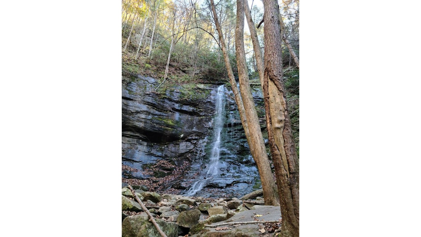
42. Tennessee
> Middle of nowhere: Clark Creek terminus, Rocky Fork State Park
> Distance from nearest city: 3 hours, 8 minutes
> GPS coordinates: 36°05’15″N, 82°35’15″W
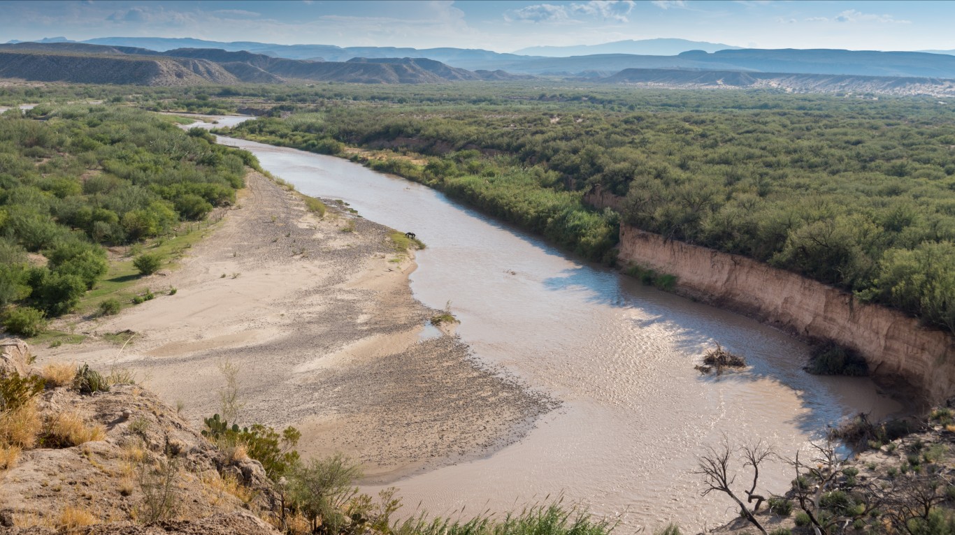
43. Texas
> Middle of nowhere: Southeastern-most edge of Big Bend National Park, on border of U.S. and Mexico
> Distance from nearest city: 8 hours, 1 minutes
> GPS coordinates: 28°59’05.1″N 103°07’01.5″W
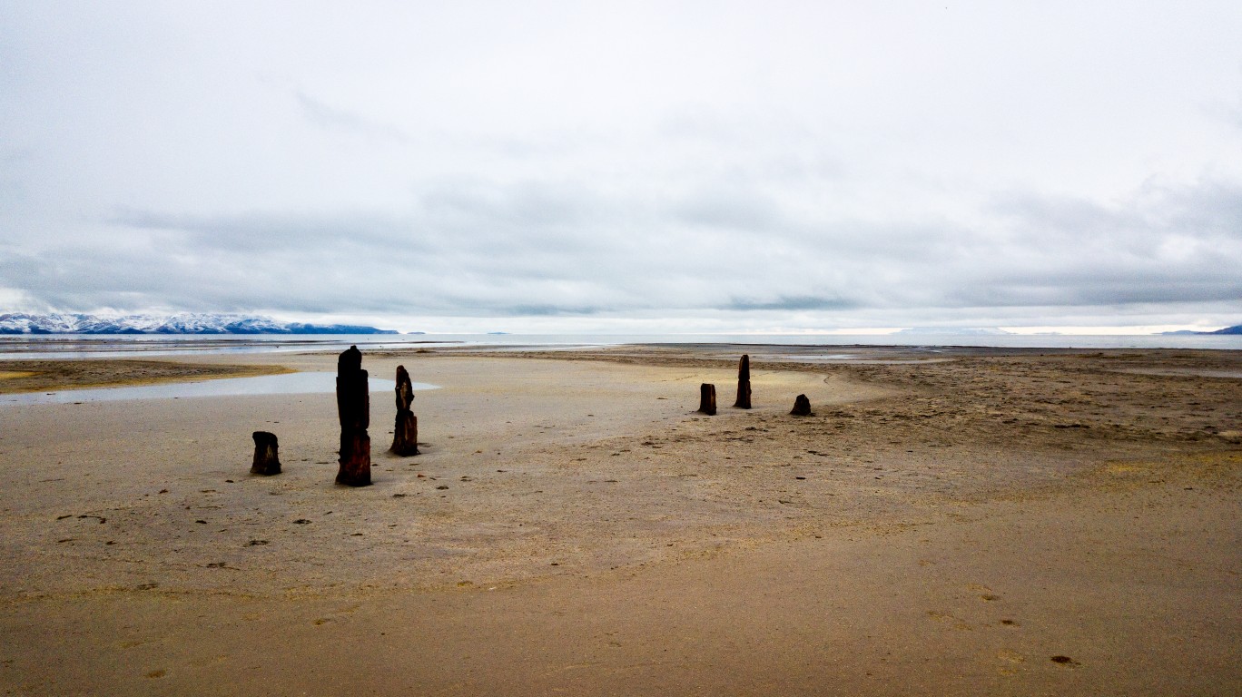
44. Utah
> Middle of nowhere: Great Salt Lake Desert, Northwest Utah
> Distance from nearest city: 12 hours, 41 minutes
> GPS coordinates: 40°23’15″N, 113°35’45″W
[in-text-ad-2]
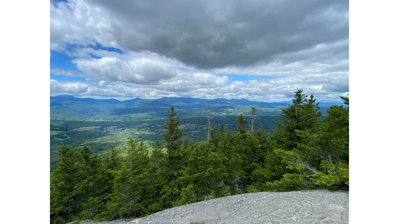
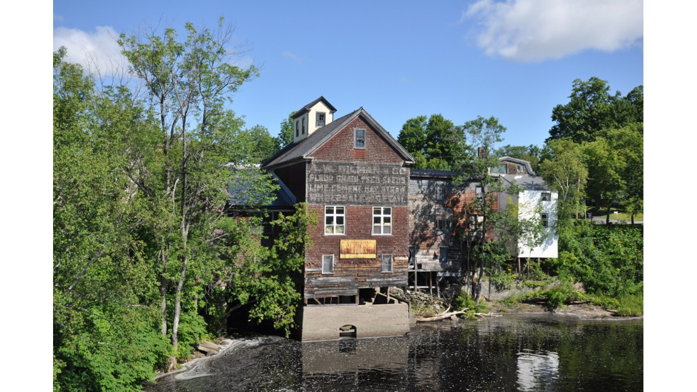
45. Vermont
> Middle of nowhere: Hunger Mountain, CC Putnam State Forest
> Distance from nearest city: 3 hours, 29 minutes
> GPS coordinates: 44°26’15″N, 72°36’15″W
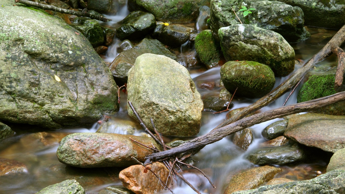
46. Virginia
> Middle of nowhere: Red Creek terminus
> Distance from nearest city: 2 hours, 58 minutes
> GPS coordinates: 36°55’45″N, 81°53’15″W
[in-text-ad]
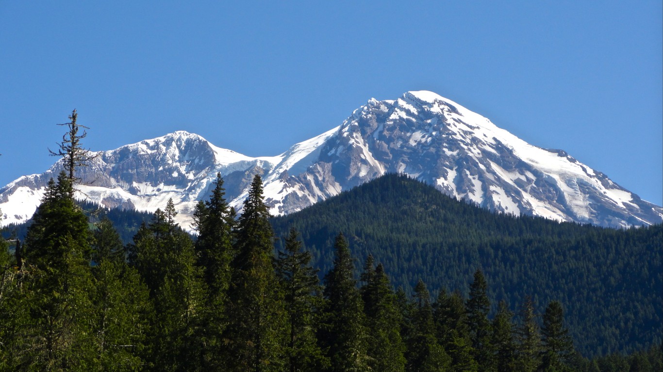
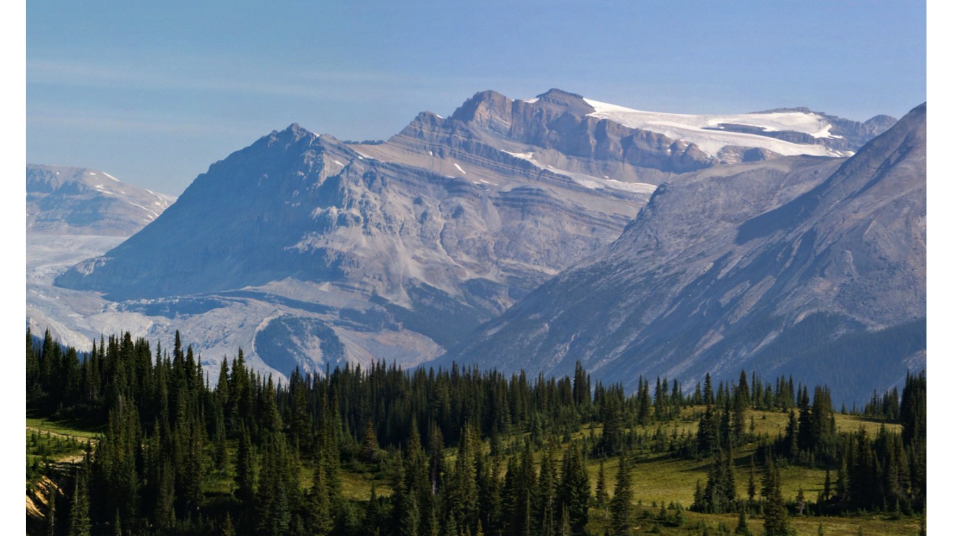
47. Washington
> Middle of nowhere: Liberty Cap, Mt Rainier National Park
> Distance from nearest city: 15 hours, 52 minutes
> GPS coordinates: 46°52’15″N, 121°46’15″W
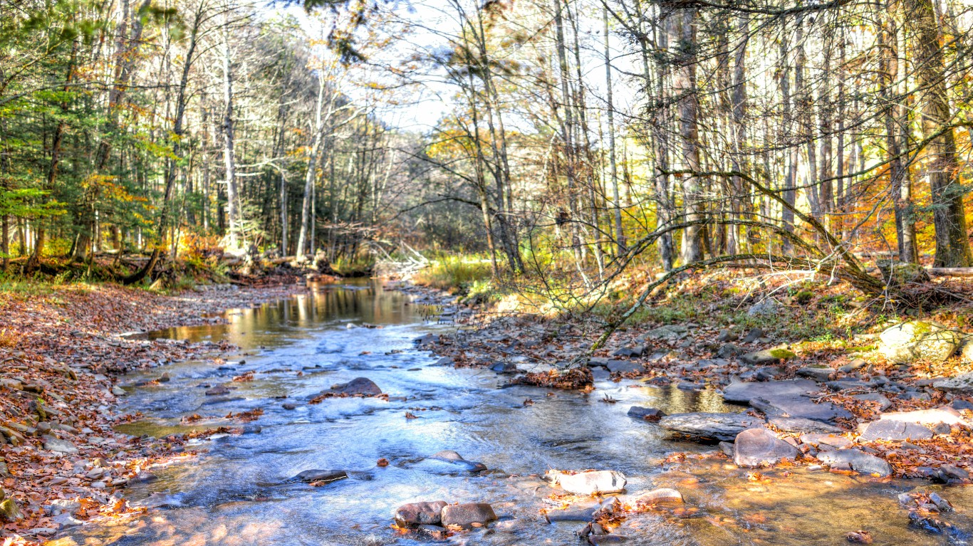
48. West Virginia
> Middle of nowhere: ½ mile south of of East Fork and Mc Cloud
> Distance from nearest city: 3 hours, 10 minutes
> GPS coordinates: 37°56’15″N, 82°12’15″W
49. Wisconsin
> Middle of nowhere: Outer Island, Lake Superior
> Distance from nearest city: 7 hours, 36 minutes
> GPS coordinates: 47°03’15″N, 90°25’15″W
[in-text-ad-2]
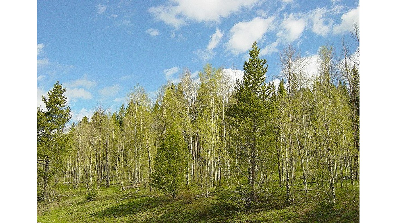
50. Wyoming
> Middle of nowhere: Hardluck Mountain, Shoshone National Forest
> Distance from nearest city: 14 hours, 44 minutes
> GPS coordinates: 43°59’45″N, 109°40’15″W
Are You Ahead, or Behind on Retirement? (sponsor)
If you’re one of the over 4 Million Americans set to retire this year, you may want to pay attention.
Finding a financial advisor who puts your interest first can be the difference between a rich retirement and barely getting by, and today it’s easier than ever. SmartAsset’s free tool matches you with up to three fiduciary financial advisors that serve your area in minutes. Each advisor has been carefully vetted, and must act in your best interests. Start your search now.
Don’t waste another minute; get started right here and help your retirement dreams become a retirement reality.
Thank you for reading! Have some feedback for us?
Contact the 24/7 Wall St. editorial team.

 24/7 Wall St.
 24/7 Wall St.
 24/7 Wall St.