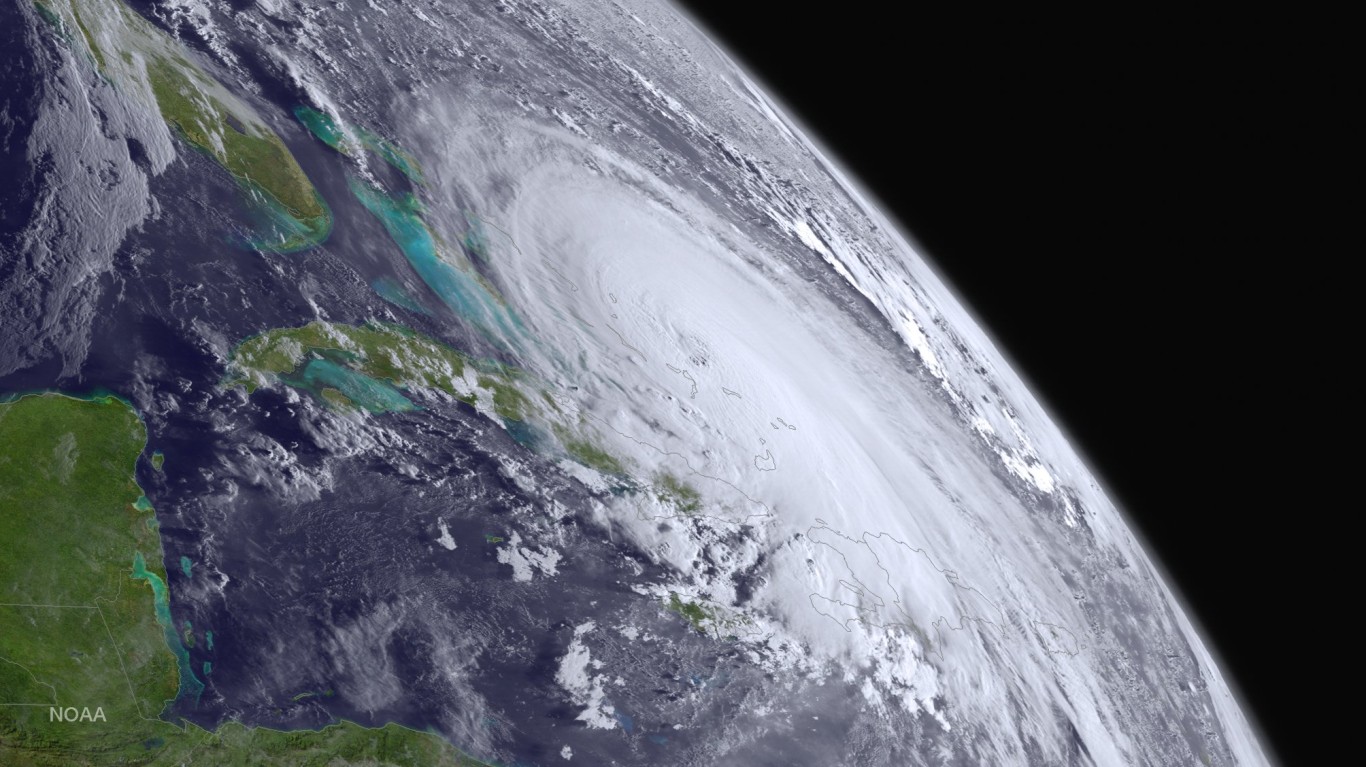
When selecting the strongest hurricanes ever recorded we must keep a few things in mind: what do we mean by strongest? Do we include all cyclone storms no matter what they are called? How long does a storm have to last to qualify for the list? Most tropical storms never make landfall and some of those that do never hit populated areas before they dissipate completely. With modern technology, we are able to track and identify the most powerful storms, even if nobody ever sees them.
It is important to note that faster winds do not necessarily mean that one storm is stronger than another. One of the true signs of the power of a storm is the measure of its barometric pressure. Earth’s atmosphere typically exerts around 14.7 pounds of pressure per square inch of the surface. At sea level, a barometer will show this pressure as 1013 millibars. Hurricanes, however, change the air pressure around them, reducing the weight of the atmosphere. The more the weight is reduced, the stronger the storm becomes, the faster the winds blow, and so on. For that reason, we rank the strongest hurricanes based primarily on how much they reduced the barometric pressure in their area.
Typhoons, cyclones, and hurricanes are all the same type of storm, but they have different names based on where they occur. Hurricanes form in the Atlantic Ocean, typhoons form in the Pacific, and cyclones form in the Indian Ocean. The storms that occur in the Pacific tend to be larger and more powerful than the others because they have much more room to grow and exist far longer before they run into land and lose their power. That is why of all the storms that made this list (and most of the runners-up) all of them are typhoons in the Pacific Ocean.
Additionally, tropical cyclones are large and complex storm systems. The weather and climate mechanisms that cause them to form extend well beyond the spiral form that we see. That is why most storms reach their peak strength out over the open ocean before weakening significantly (though not always) before they make landfall. That being said, here are the seven strongest hurricanes ever.
#7 Super Storm Kit – 1966
- Barometric pressure: 880 mbar
- Windspeed: 315 km/h
Super Storm Kit was first identified on June 20, 1966, and made landfall on Honshu Island on June 28. After making landfall it caused 64 deaths and 19 missing persons. Even though the center of the storm never made landfall, it still caused substantial damage in Japan. Over 128,000 homes were damaged, 433 of which collapsed from wind and rainfall. It caused landslides and floods and destroyed roads. Tokyo was flooded with deep water.
The center of Kit never actually made landfall. While the eye of a hurricane is the most iconic and recognizable part of a tropical cyclone, it is only the central piece of a much larger storm system. The very center of the eye of a hurricane is actually relatively calm and clear, where cool air is descending too rapidly to allow clouds to form. The edge of the eye, known as the eyewall, however, is the most intense and destructive part of the storm. Wherever the eyewall passes over land, that is where the most destruction occurs.
#6 Super Typhoon Rita – 1978
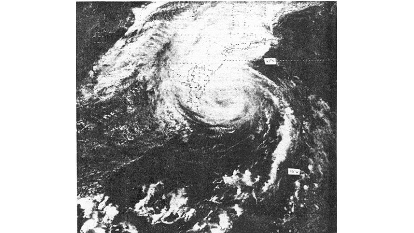
- Barometric pressure: 878 mbar
- Windspeed: 280 km/h
Typhoon Rita formed on October 17, 1978, and lasted until October 29. It impacted Guam, the Philippines, and Vietnam, causing over $100 million in damages (in 1978 currency), and killed over 300 people with more than 354 missing. Rita traveled almost directly West after forming near the Marshall Islands, giving people time to prepare for landfall and reduce damage caused by the storm.
#5 Super Typhoon Ida – 1958
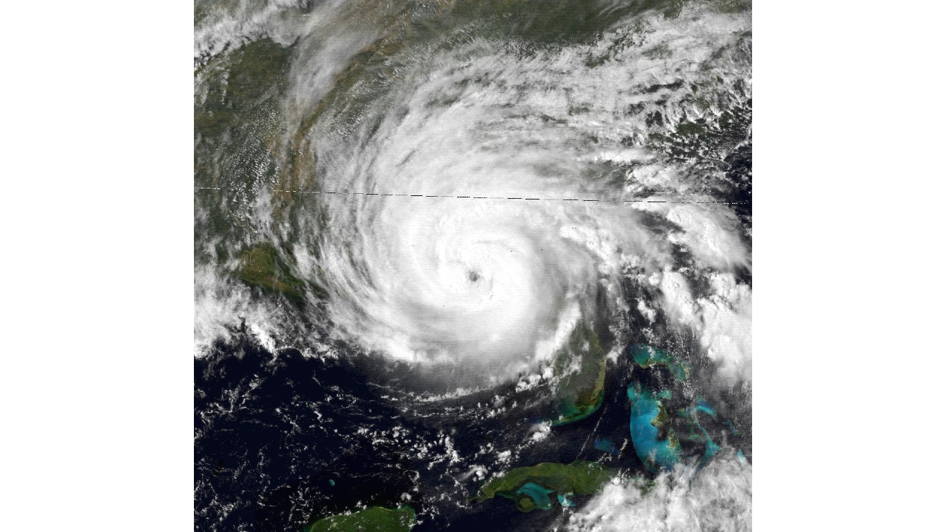
- Barometric pressure: 877 mbar
- Windspeed: 325 km/h
Typhoon Ida is also known as Kanogawa Typhoon in Japan and was the sixth-deadliest hurricane to ever hit the country. Only the most destructive and impactful storms receive their own, local name, and Ida is not the only one on this list to get a special name.
It formed on September 20, 1958, and passed over Japan on the 26th. After making landfall it killed 1,269 people, injured 1,138, and caused over $522.6 million in damages in 2023 currency. Over 16,743 homes were damaged and 12,000 people were subsequently left homeless. With 244 roads and rail bridges destroyed, and 1,900 landslides, rescue and relief efforts were significantly restricted.
#4 Super Typhoon Nora – 1973
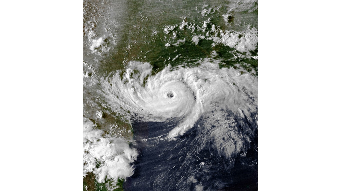
- Barometric pressure: 875 mbar
- Windspeed: 295 km/h
Typhoon Nora is also known as Typhoon Luming in the Philippines, one of the countries most affected the most by the storm. It formed on October 2, 1973, before passing over the northern islands of the Philippines and into China where it dissipated on October 11. On its journey, it caused over $11.4 million in damages causing 40 deaths and leaving 28 people missing. It is noteworthy for having the warmest eye of any tropical cyclone in history with a reading of 86 degrees Fahrenheit.
#3 Typhoon Forest – 1983
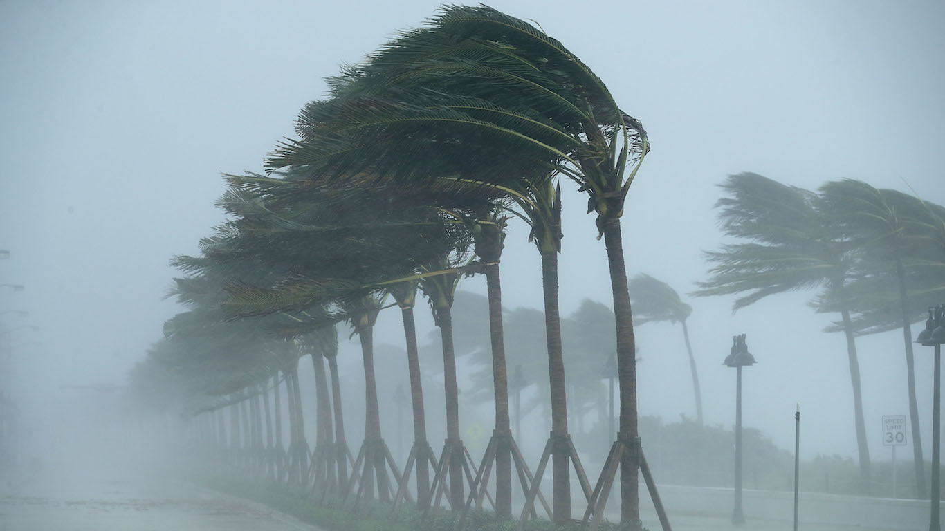
- Barometric pressure: 876 mbar
- Windspeed: 280 km/h
Typhoon Forest, also known as Typhoon Ising, formed on September 19, 1983, near Guam before passing north through the Southern parts of Japan. It holds the record for the fastest-intensifying storm ever after it dropped the barometric pressure around it by more than 100 in less than 24 hours. It caused 21 deaths during its journey, with 17 people left missing and another 86 injured. Typhoon Forest flooded 46,000 homes, leaving 7,700 completely underwater. It also destroyed 67 bridges and left 2,560 people homeless and even spawned a tornado on a nearby island that destroyed another 26 homes and injured 26 more people. Given the amount of damage and the strength of Typhoon Forest, it is surprising the casualty rate was as low as it was.
#2 Super Typhoon Patricia – 2015
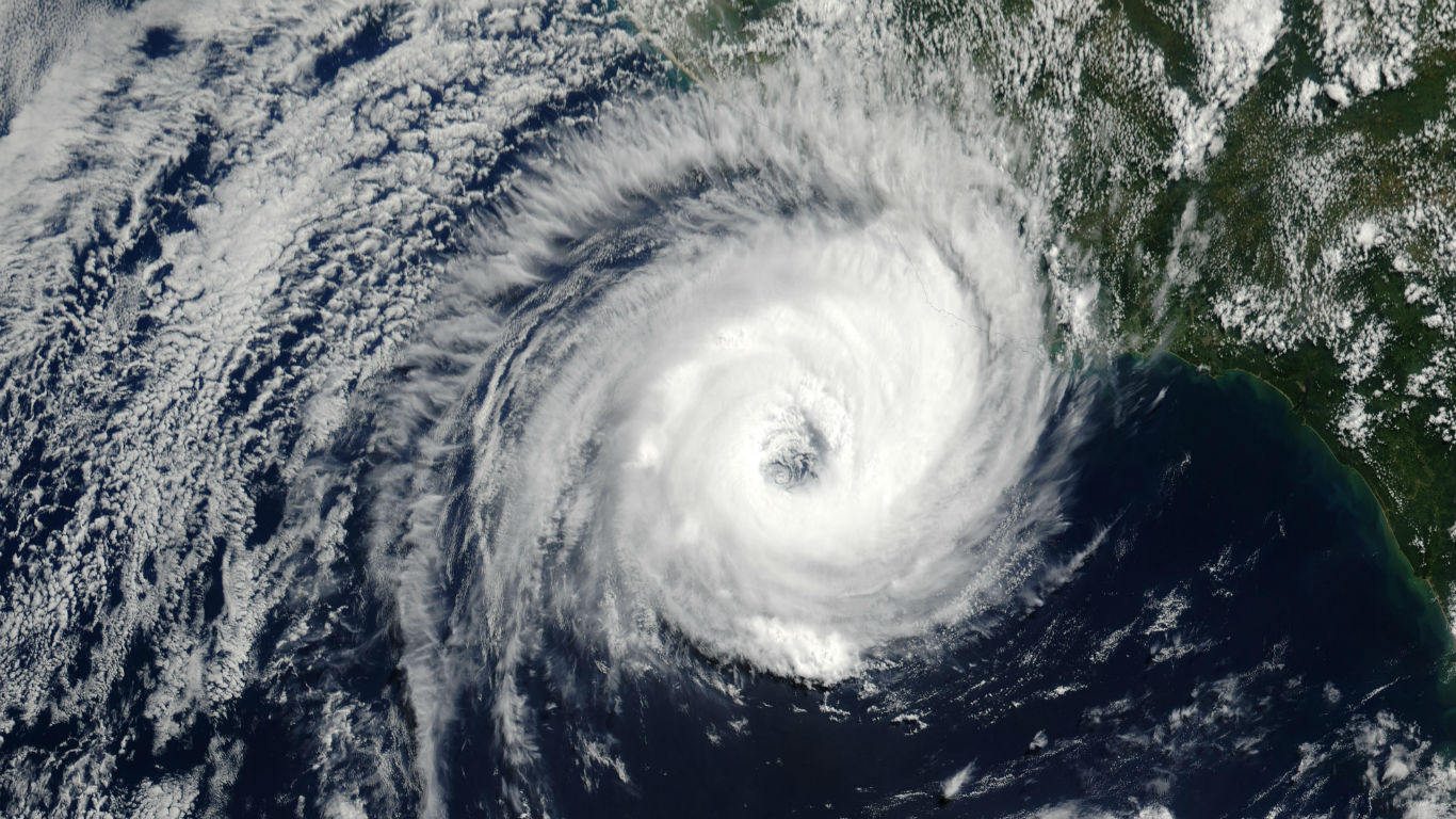
- Barometric pressure: 872 mbar
- Windspeed: 345 km/h
Even though Patricia formed in the Pacific Ocean, it is still officially known as Hurricane Patricia. It formed just south of Mexico before passing over the country and into Texas. This super typhoon still holds several records including maximum strength, its rate of intensification, and its rate of weakening. In fact, it is extremely fortunate that Patricia weakened as much as it did before making landfall, becoming a much smaller and weaker storm before impacting people and cities. It is still the most powerful tropical cyclone in the Western Hemisphere.
By the time it disappeared, it had caused 13 deaths and $463 million in damages in Mexico and Texas. Patricia was notable and exceptional for how fast it intensified and then weakened during its four-day lifespan from October 20 to the 24th.
#1 Typhoon Tip – 1979
- Barometric pressure: 870 mbar
- Windspeed: 306 km/h
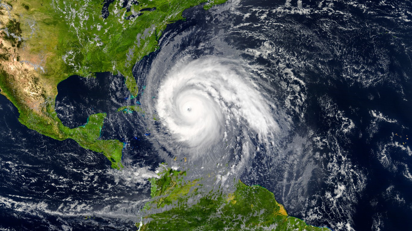
Typhoon Tip is also known as Typhoon Warling in the Philippines. It is the largest and strongest cyclone ever recorded (on Earth, of course). Tip was the third super typhoon of the 1979 Pacific typhoon season and formed on October 4 around Micronesia before reaching peak strength on October 12, shortly after passing Guam.
Typhoon Tip eventually reached a size that is truly difficult to comprehend with a maximum diameter of 2,200 kilometers (1,380 miles). If compared to the size of the United States, Tip would stretch from New York to Dallas and from Mexico to Canada.
In the end, Typhoon Tip killed 99 people, either directly or indirectly, and caused $484 million in damages (in 1979 USD). It sunk eight ships, caused over 600 mudslides, flooded 22,000 homes, destroyed 27 bridges, and left 11,000 people homeless.
In 20 Years, I Haven’t Seen A Cash Back Card This Good
After two decades of reviewing financial products I haven’t seen anything like this. Credit card companies are at war, handing out free rewards and benefits to win the best customers.
A good cash back card can be worth thousands of dollars a year in free money, not to mention other perks like travel, insurance, and access to fancy lounges.
Our top pick today pays up to 5% cash back, a $200 bonus on top, and $0 annual fee. Click here to apply before they stop offering rewards this generous.
Flywheel Publishing has partnered with CardRatings for our coverage of credit card products. Flywheel Publishing and CardRatings may receive a commission from card issuers.
Thank you for reading! Have some feedback for us?
Contact the 24/7 Wall St. editorial team.
