The United States and Canada have the longest peaceful, undefended border in the world, running 5,525 miles between 8 Canadian provinces and territories and 11 U.S. states. Canadian Prime Minister Justin Trudeau recently described the relationship between the two countries as the “envy of the world.” The situation is quite different on the American-Mexican border and on other tense borders around the world where countries have deployed troops, fortifications, and even nuclear arsenals to keep their mistrusted neighbors on their side.

1. United States-Mexico
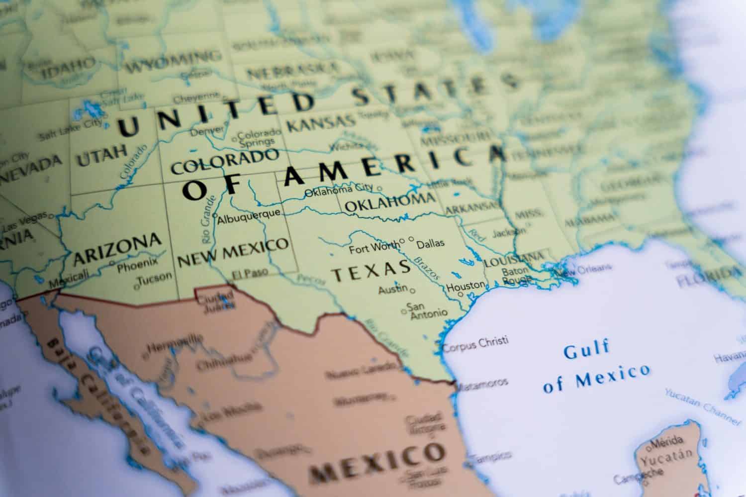
- Length: 1,954 miles
- Year established: 1848 and 1853
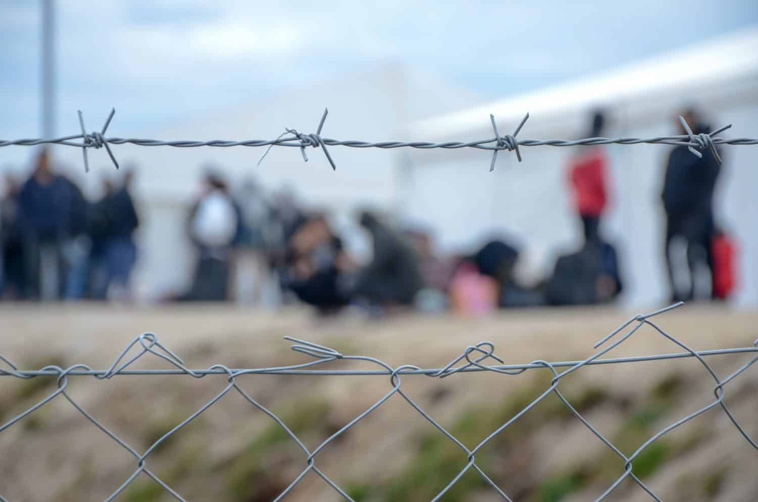
- Problems: The U.S. heavily guards its side of the border and has erected sections of border walls, fences, and electronic surveillance. This is to guard against illegal immigration, drug trafficking, and other criminal activity. About 11 million undocumented immigrants live in the United States today, the majority of whom are either from Mexico or transited through Mexico from other parts of Latin America to reach the American border. President Trump recently threatened Mexico with 25% tariffs unless they did more to control their side of the border. In response, Mexico is currently deploying more troops to the area.
2. Columbia-Ecuador
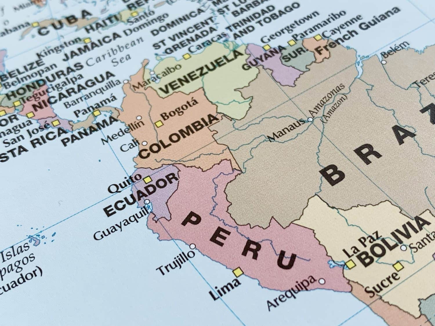
- Length: 367 miles
- Year established: 1916
- Problems: In the 2000s, Col0mbian guerrillas crossed over into Ecuador and used it as a base of operations for cross-border raids into Colombia. Refugees from the fighting in Colombia have also crossed over to Ecuador. In 2008 Colombia bombed a rebel camp without permission. Ecuador cut diplomatic relations in retaliation. In recent years Colombia has reached agreements with rebel groups and tensions have eased.
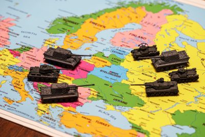
3. Ukraine-Russia
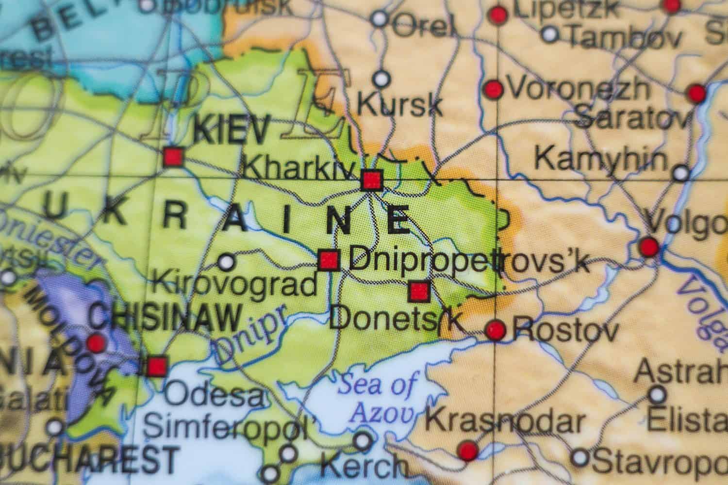
- Length: 1,426 miles
- Year established: 1991
- Problems: Russia began seizing Crimea and other territory from Ukraine in 1914 and went on to launch a full invasion in 2022. Ukraine was once a part of the Russian empire and later the Soviet Union until independence in 1991. Russian president Vladimir Putin wants to annex as much of the country as he can for its resources, access to the Black Sea, and to prevent it from joining NATO, the EU, and other western security and political structures. Total war is ongoing between the two countries.
4. NATO-Russia
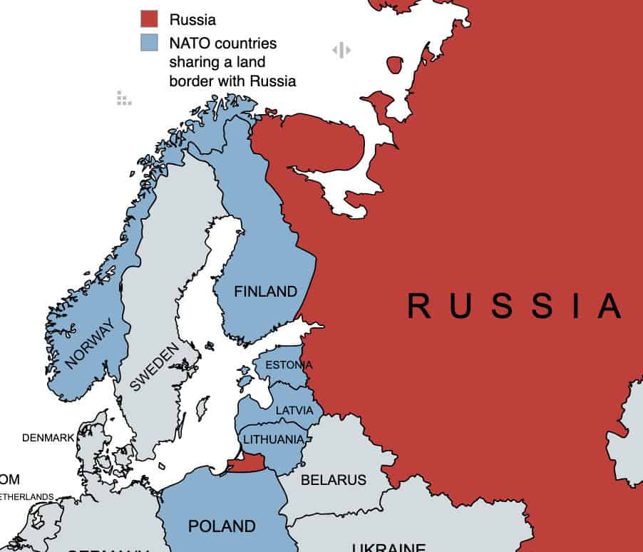
- Length: 1,926 miles
- Year established: 1991-2023
- Problems: During the Cold War, Norway was the only NATO member with a direct border on the Soviet Union, and now Russia. It measures just 121 miles long. The NATO-Russia border grew after the collapse of the Soviet Union when the post-Soviet countries known as the Baltic States (Estonia, Latvia, and Lithuania) joined NATO. Poland also joined, and it shares a border with Russia’s Kaliningrad oblast, a Baltic Sea exclave separated from the rest of the country. Today, the Baltic States, Finland, and Poland spend heavily on their military to prepare for possible Russian aggression, perhaps as overflow from the war in Ukraine.
5. Ethiopia-Eritrea
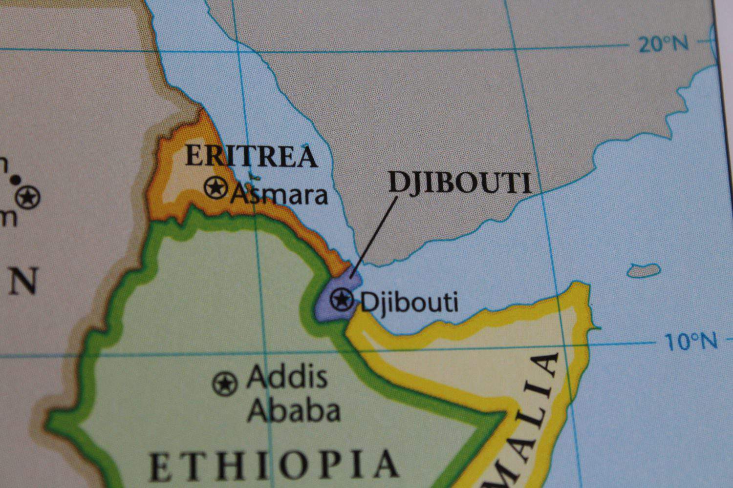
- Length: 642 miles
- Year established: 1993
- Problems: Eritrea fought a long war for independence from Ethiopia and finally achieved it in 1993. They went to war again from 1998-2000 over disputed territory and finally reached a peace agreement in 2018. Now Ethiopia is having more problems with the Tigray region trying to break away, and Eritrea has become involved in that conflict as well.
6. India-Pakistan
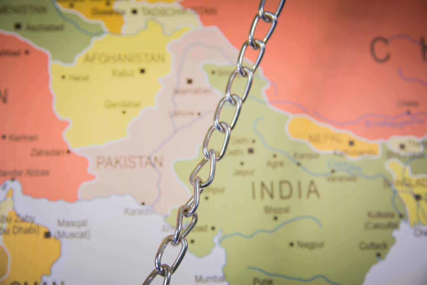
- Length: 2,065 miles
- Year established: 1947
- Problems: India and Pakistan became independent from the British empire in 1947 as homelands for the subcontinent’s vast Hindu and Muslim populations, respectively. As millions of people crossed the border in each direction to get to the side where they wanted to be, fighting broke out. The two countries have since fought a series of wars, keep their border heavily guarded, and have each armed themselves with nuclear weapons. The final disposition of Kashmir, a large territory in the north of both countries, is the biggest irritant to their relationship.
7. North and South Korea
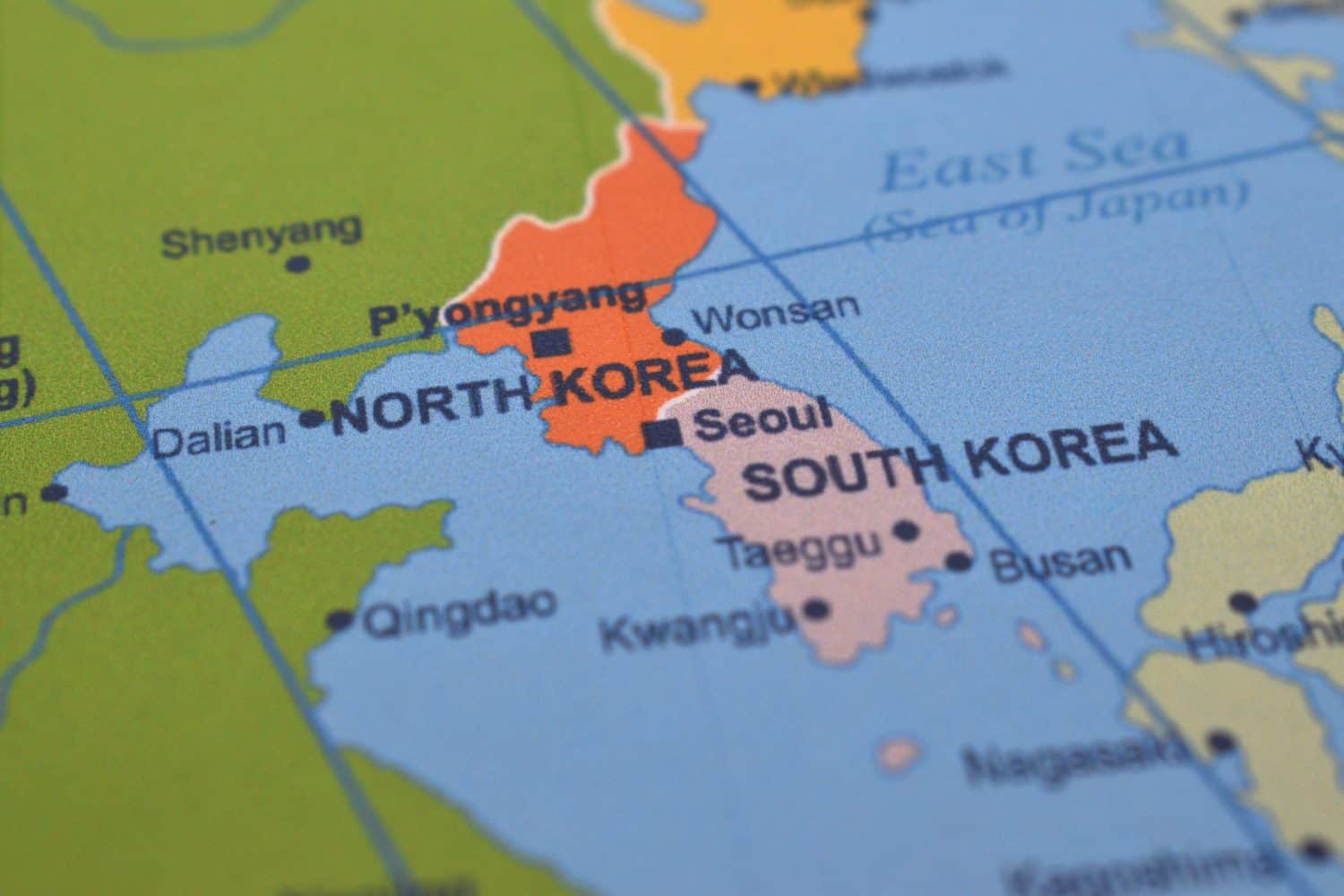
- Length: 155 miles
- Year established: 1953 (armistice line; a permanent border has not been agreed upon)
- Problems: Korea was a Japanese colony but was divided after World War II between the Soviet Union in the north and the U.S.-led Allies in the south. Rather than reuniting, each side organized into a separate country with radically different political systems. Communist North Korea tried to take over the South in the Korean War (1950-53) with help from China, but the Allies were able to fight them back. U.S. troops remain along the southern side of the heavily-guarded demilitarized zone separating the two sides as a deterrent to North Korean attack. And North Korea is developing its nuclear arsenal as a deterrent to U.S. attack.
8. Israel-Lebanon/Syria/Palestine
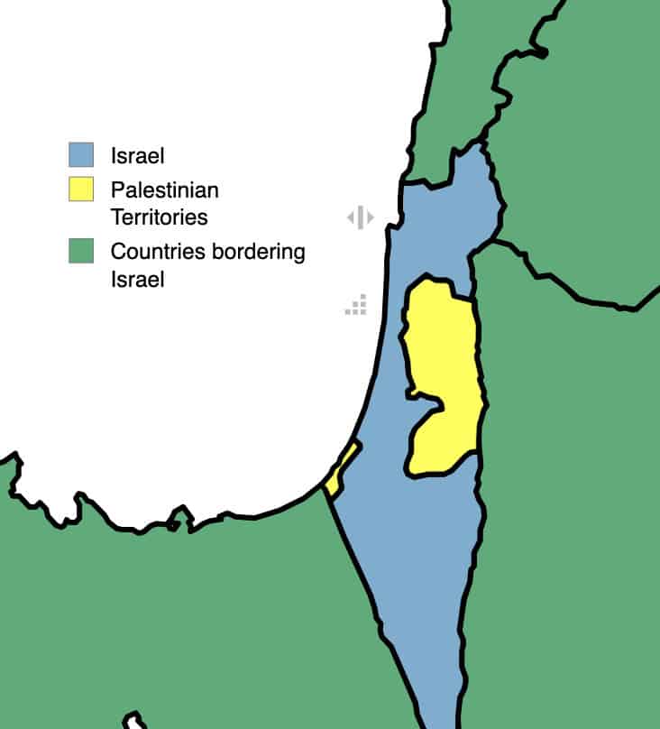
- Length: 477 miles (Palestinian territories), 460 miles (other countries)
- Year established: 1949
- Problems: When Palestine was a British territory, colonial authorities promised both the Jewish and Arab populations that they could have an independent country there after World War II. The United Nations divided the land between them, but they promptly went to war at independence in 1949. Over a series of wars, Israel occupied the Palestinian territories, defeated its neighbors, and seized the Golan Heights from Syria. Israel’s borders are some of the most heavily fortified in the world and this continues to be one of the world’s most dangerous flash points.