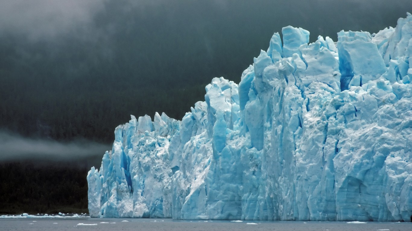
Glaciers cover about 35,000 square miles in the U.S. Of that, 34,000 square miles are in Alaska, according to the National Snow and Ice Center at the University of Colorado in Boulder. Glaciers also dot the landscapes of Washington state, Oregon, California, Montana, Wyoming, Colorado, and Nevada (Wheeler Peak Glacier in Great Basin National Park).
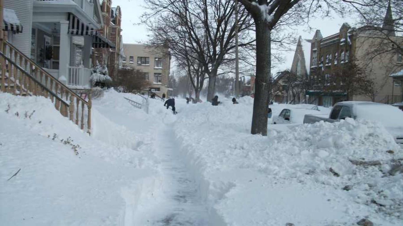
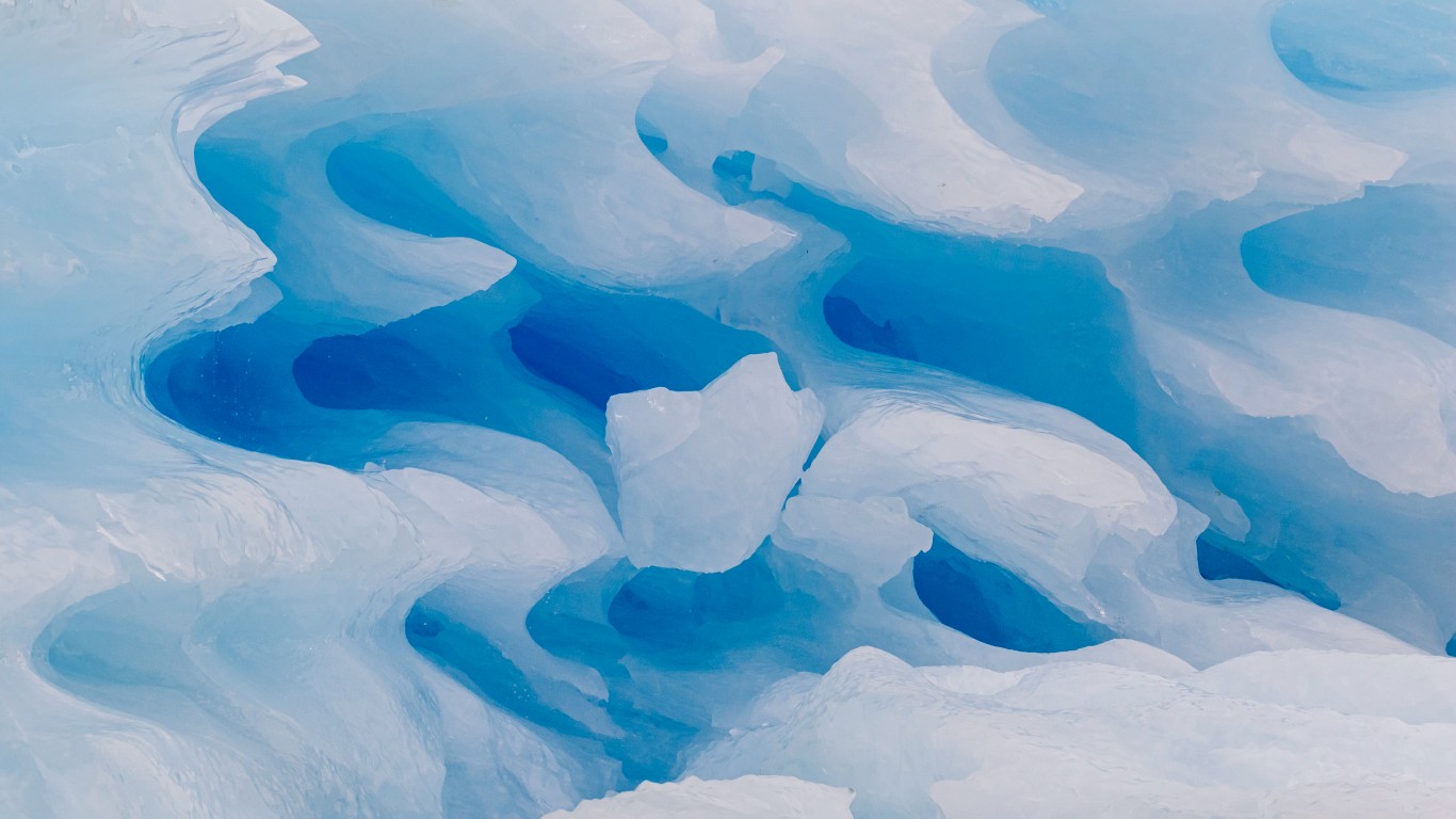
In areas of persistent freezing temperatures, perennial snowfalls on land, in addition to crystalline ice, rock, sediment, and often liquid water, eventually turn into a glacier. As the layers of ice pile up, a glacier rises and the density of the snow increases. But it takes a long time. The process of snow forming into a glacier can take more than a hundred years. Glaciers move downslope under the influence of their own weight and gravity.
To find the 21 largest glaciers and icefields in the U.S., 24/7 Wall St. reviewed 2022 data from the Census Bureau’s Tigerweb database. The glaciers are ranked by coverage area, and represent every glacier and icefield with area of more than 100 square miles. Nearly all of the 21 glaciers on the list are in Alaska. (Also see, the most beautiful natural wonder in every state.)
Strikingly beautiful to look at, glaciers headline many of our national parks. They also provide a glimpse into the effects of global warming as rising temperatures melt the ice. Researchers at the University of Washington studied 19 glaciers in the Kenai Fjords National Park, about two hours south of Anchorage. By pouring over 38 years of images, they were able to see how much the glaciers’ edges had shrunk. One of those glaciers, Bear Glacier (No. 44), retreated by 3 miles between 1984 and 2021.
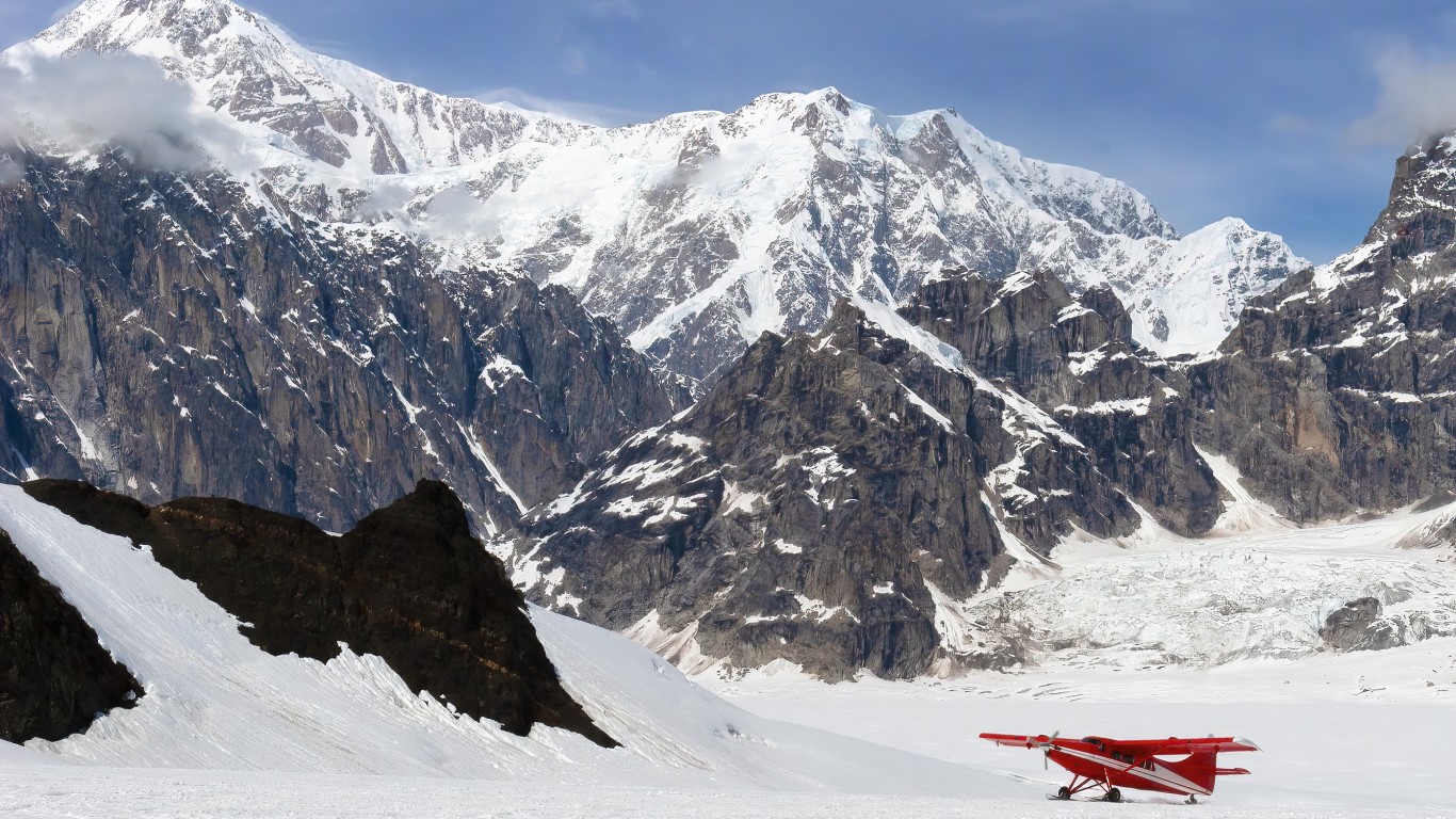
At around 41 square miles, Bear Glacier is miniscule compared to the Bagley Icefield in Cordova, Alaska. Bagley stretches over 863 miles. Made of connecting mountain glaciers, an icefield is notable for rock ridges or summits protruding above the icy terrain.
Glaciers continually shed ice, providing much needed water for plants and wildlife. But if all glaciers across the world disappeared, the effect would be catastrophic. The U.S. Geological Survey estimates that if all glaciers and ice caps melted, global sea levels would rise by 230 feet. Such an enormous amount of water would flood all coastal cities. (See how abnormal the world’s temperature was every year since 1950.)
Click here to see the 21 largest glaciers and icefields in the US.

21. Valerie Glacier
> Land area: 101.69 square miles
> Closest town, borough, or school district: Yakutat, Alaska (pop: 649)
> Map coordinates: Lat: 60.196 Long: -139.641
[in-text-ad]

20. Sanford Icefield
> Land area: 103.24 square miles
> Closest town, borough, or school district: Gakona, Alaska (pop: 218)
> Map coordinates: Lat: 62.247 Long: -144.117
[recirclink id=1121580]

19. Chitina Glacier
> Land area: 108.57 square miles
> Closest town, borough, or school district: McCarthy, Alaska (pop: 28)
> Map coordinates: Lat: 61.014 Long: -141.315

18. Capps Glacier
> Land area: 118.12 square miles
> Closest town, borough, or school district: Beluga, Alaska (pop: 20)
> Map coordinates: Lat: 61.353 Long: -152.101
[in-text-ad-2]
17. Nelchina Glacier
> Land area: 121.37 square miles
> Closest town, borough, or school district: Glacier View, Alaska (pop: 234)
> Map coordinates: Lat: 61.496 Long: -147.008

16. Columbia Glacier
> Land area: 161.51 square miles
> Closest town, borough, or school district: Chugach School District, Alaska (pop: 370 students)
> Map coordinates: Lat: 47.962 Long: -121.348
[in-text-ad]
15. Ruth Glacier
> Land area: 163.15 square miles
> Closest town, borough, or school district: Trapper Creek, Alaska (pop: 481)
> Map coordinates: Lat: 62.923 Long: -150.749
[recirclink id=1177782]

14. Tazlina Glacier
> Land area: 163.77 square miles
> Closest town, borough, or school district: Copper River School District, Alaska (pop: 446 students)
> Map coordinates: Lat: 61.522 Long: -146.557

13. Barnard Glacier
> Land area: 177.01 square miles
> Closest town, borough, or school district: McCarthy, Alaska (pop: 28)
> Map coordinates: Lat: 61.198 Long: -141.588
[in-text-ad-2]

12. Sargent Icefield
> Land area: 184.47 square miles
> Closest town, borough, or school district: Primrose, Alaska (pop: 78)
> Map coordinates: Lat: 60.413 Long: -148.603

11. Miles Glacier
> Land area: 187.51 square miles
> Closest town, borough, or school district: Chugach School District, Alaska (pop: 370 students)
> Map coordinates: Lat: 60.620 Long: -144.202
[in-text-ad]
10. Black Rapids Glacier
> Land area: 197.22 square miles
> Closest town, borough, or school district: Matanuska-Susitna Borough School District, Alaska (pop: 15,969 students)
> Map coordinates: Lat: 63.431 Long: -146.296
[recirclink id=1187100]
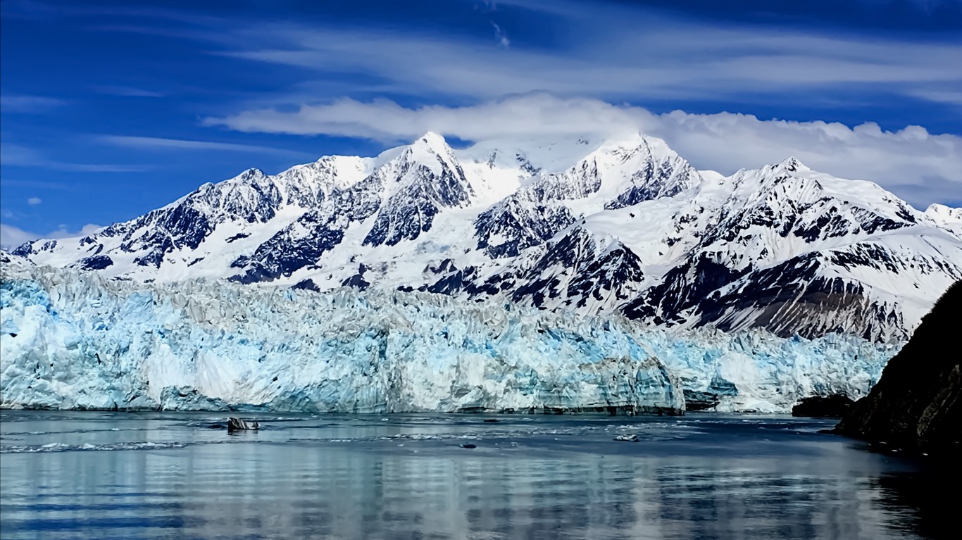
9. Hubbard Glacier
> Land area: 214.10 square miles
> Closest town, borough, or school district: Yakutat, Alaska (pop: 649)
> Map coordinates: Lat: 60.238 Long: -139.355

8. Martin River Glacier
> Land area: 243.78 square miles
> Closest town, borough, or school district: Cordova, Alaska (pop: 2,239)
> Map coordinates: Lat: 60.552 Long: -143.670
[in-text-ad-2]

7. Wrangell Icefield
> Land area: 246.11 square miles
> Closest town, borough, or school district: Silver Springs, Alaska (pop: 114)
> Map coordinates: Lat: 62.032 Long: -143.922
6. Jefferies Glacier
> Land area: 310.27 square miles
> Closest town, borough, or school district: McCarthy, Alaska (pop: 28)
> Map coordinates: Lat: 60.631 Long: -141.865
[in-text-ad]

5. Nabesna Glacier
> Land area: 353.06 square miles
> Closest town, borough, or school district: McCarthy, Alaska (pop: 28)
> Map coordinates: Lat: 61.869 Long: -143.219
[recirclink id=1162025]
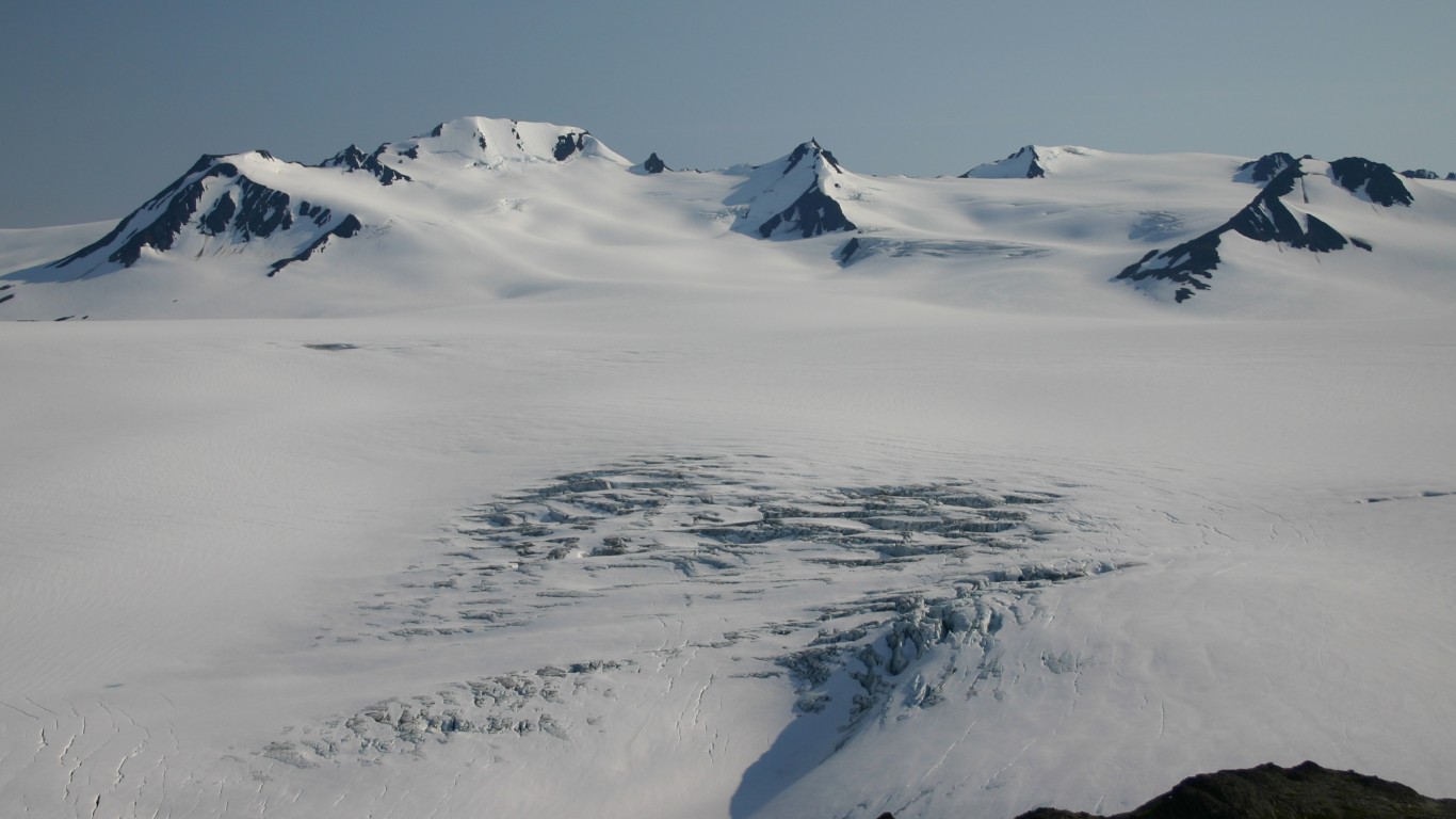
4. Harding Icefield
> Land area: 398.71 square miles
> Closest town, borough, or school district: Kenai Peninsula Borough, Alaska (pop: 58,464)
> Map coordinates: Lat: 60.007 Long: -150.070

3. Juneau Icefield
> Land area: 562.95 square miles
> Closest town, borough, or school district: Juneau, Alaska (pop: 32,227)
> Map coordinates: Lat: 58.895 Long: -134.383
[in-text-ad-2]

2. Bering Glacier
> Land area: 624.35 square miles
> Closest town, borough, or school district: McCarthy, Alaska (pop: 28)
> Map coordinates: Lat: 60.317 Long: -143.169

1. Bagley Icefield
> Land area: 863.41 square miles
> Closest town, borough, or school district: Cordova, Alaska (pop: 2,239)
> Map coordinates: Lat: 60.605 Long: -142.191