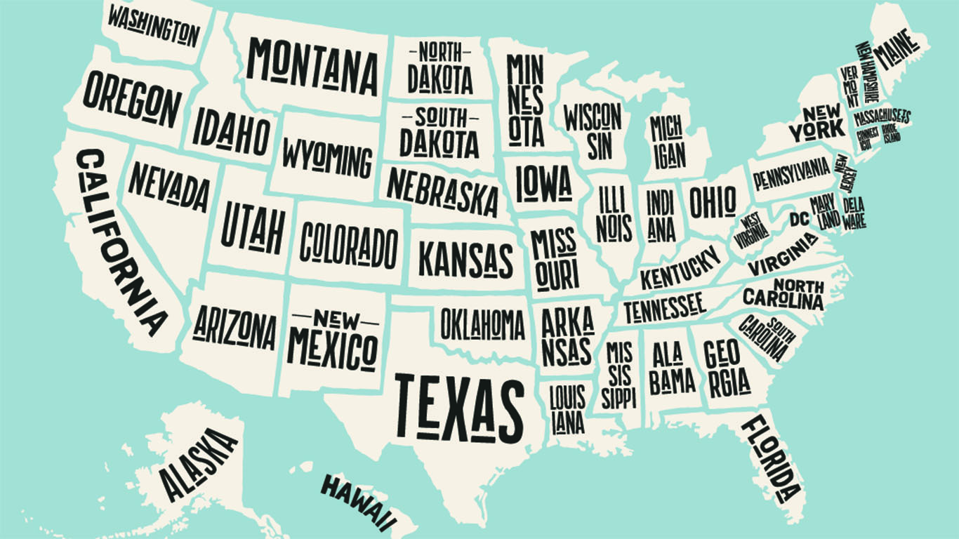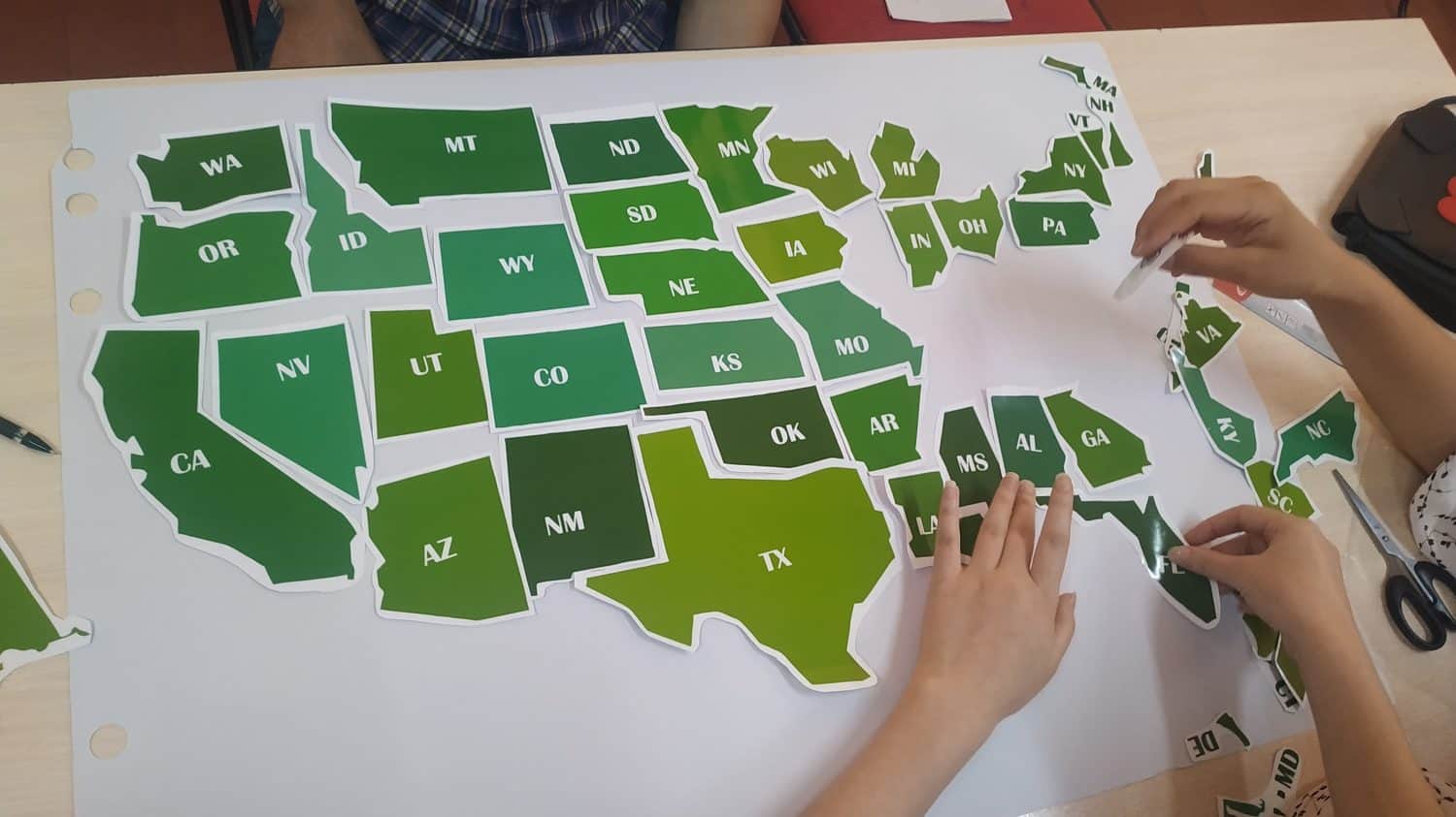
The United States was born from revolution, westward expansion, and diverse populations. The geography of the nation, in turn, seems to reflect this unique combination, particularly its rather illogical borders between states. (This is how each state got its shape.)
The U.S. map leaves us with tons of questions. Some of the borders are so completely WEIRD you have to wonder what the mapmakers were thinking (or drinking) when they came up with this stuff. See if any of these examples drive you as crazy as they do us. (This is how each state got its name.)
Why So Many Weird Borders?
Odd boundaries between U.S. states are annoying but don’t cause any real trouble. However, when our international borders are out of whack, it can become a real crisis. We’ve included three examples of just such an issue — two where we decided to keep the quirky status quo, and one where we decided to fix it — as well as the strange borders between U.S. states.
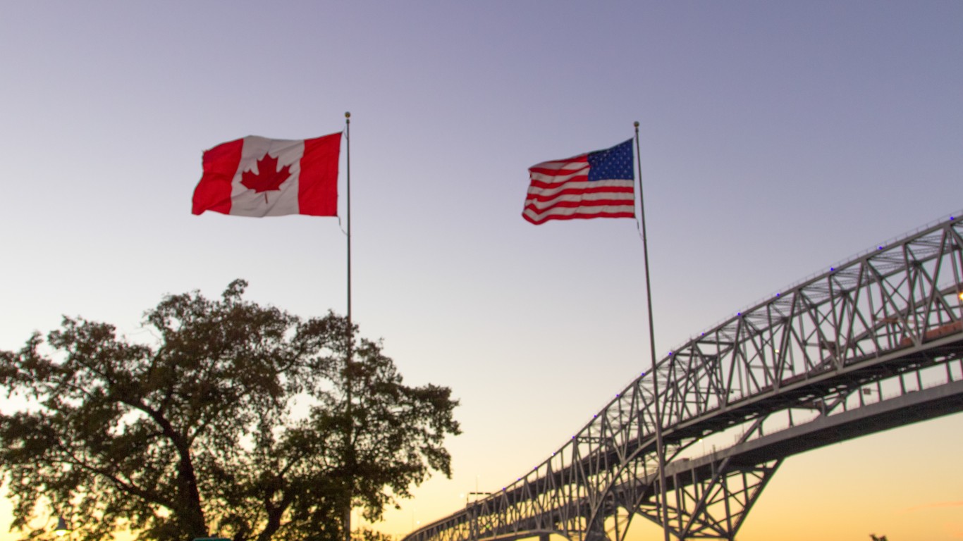
Alaska-Canada
Alaska’s southern panhandle is connected to the rest of the state by a narrow strip of land. This region is the southernmost extent of Russian claims in North America, which were made before the British claimed the rest of the surrounding mainland.
After the U.S. bought Alaska, they began negotiating the final border with Canada. The Canadians wanted at least part of it with a Pacific port for the Yukon Territory, where gold had been discovered. However, the British, who oversaw Canada’s foreign policy, went along with U.S. claims to keep the area to cultivate better relations and cooperation with the U.S. in other regions, particularly the Caribbean.
Minnesota-Canada
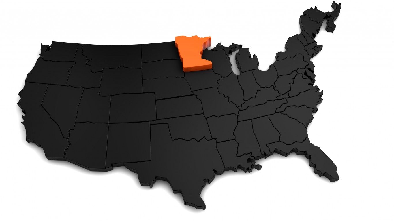
The Northwest Angle is a small “bump” on Minnesota’s northern border that extends into Canada. It’s basically just a small corner of land connected to a peninsula in Canadian territory, separated from the rest of the United States by the Lake of the Woods.
This unusual border situation exists because the U.S. and Britain signed treaties recognizing U.S. independence and the defining boundaries of the Louisiana Territory before this specific region had been completely explored. The ambiguous language of these treaties inadvertently created this “bump” in the border.
Although Canada and Britain tried to purchase this little chunk of land to simplify the border, the U.S. refused to sell it because it would change the original treaties, particularly the treaty recognizing U.S. independence.
Texas-Mexico
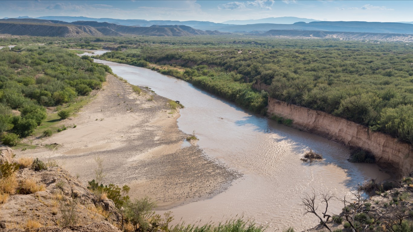
The Rio Grande marks a natural boundary between Texas and Mexico. However, the river shifts its course over time and leaves pockets of land stranded on the “wrong” side of the border.
To address this issue, the United States and Mexico signed a treaty in 1970. The treaty exchanged small tracts of stranded land that had been mistakenly located on the opposite side of the border due to the river’s shifting course. In addition, they dug new channels for the Rio Grande in certain areas to return it to its historical course and clarify the Texas-Mexico border. Mexico and the United States shared equally in the cost of this border revision.
Florida
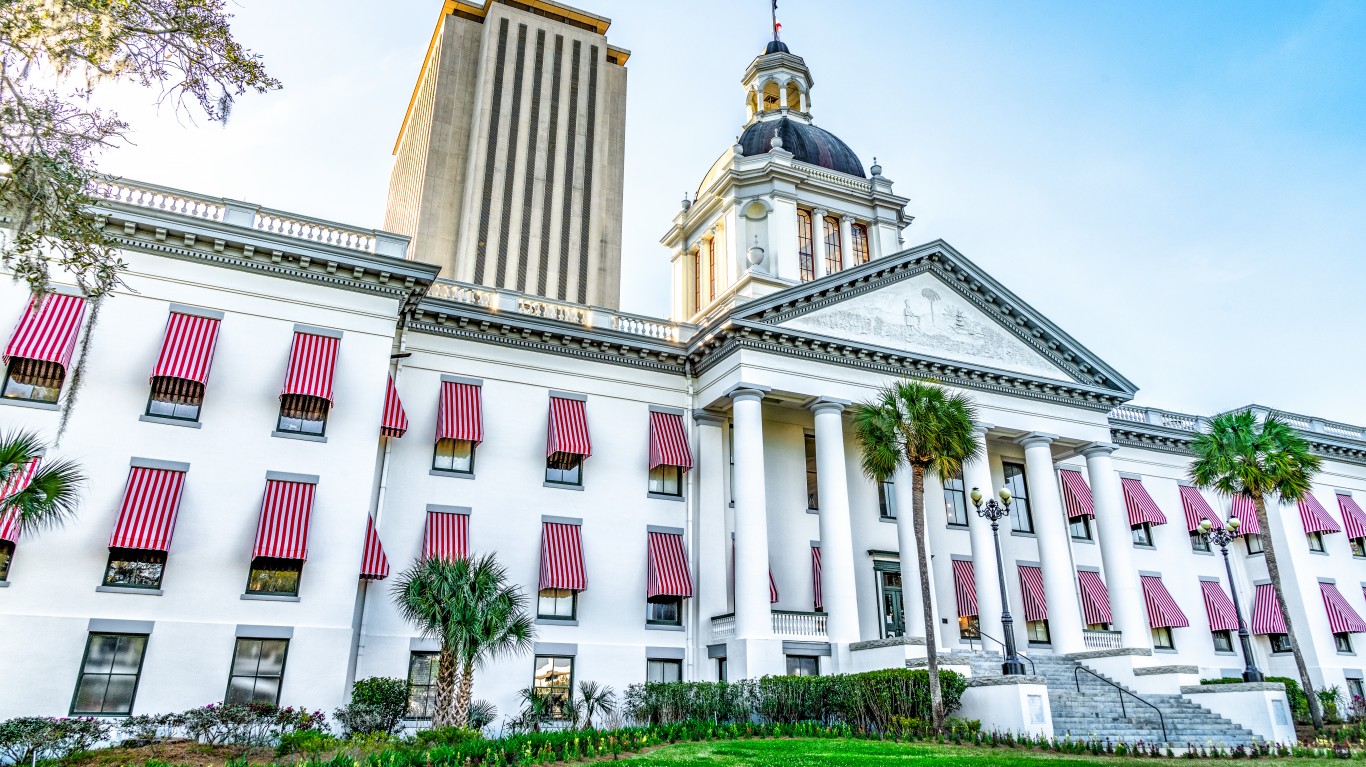
The Spanish colonized Florida, extending its northwestern panhandle to the Mississippi River. However, logistics made it challenging to manage and defend the territory, so Spain sold Florida to the United States in 1819.
The Spanish population was primarily concentrated in the northern part of the state, between Pensacola on the Gulf of Mexico in the west and St. Augustine on the Atlantic Coast. Everything west of Pensacola was transferred to Louisiana, Mississippi, and Alabama to ensure access to the Gulf of Mexico. The majority of the Spanish population was kept together in Florida. The state capital, Tallahassee, was chosen as the midway point between the major population centers of that time.
Idaho
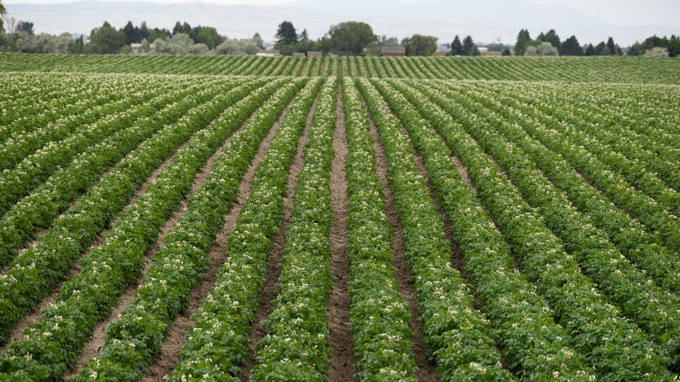
If Idaho looks like Montana broke through and gobbled up about a third of it in the northeast, well, that’s because it did.
This was in part due to the discovery of gold in the northeastern region. Montana’s politicians, eager to secure the valuable gold deposits, successfully lobbied Congress to ensure the gold deposits were on the Montana side of the border (some reports suggest they used less-than-ethical methods, bribing Congressmen with gold).
So, Montana got the gold, and in exchange, Idaho got some very nice land for potatoes.
Iowa
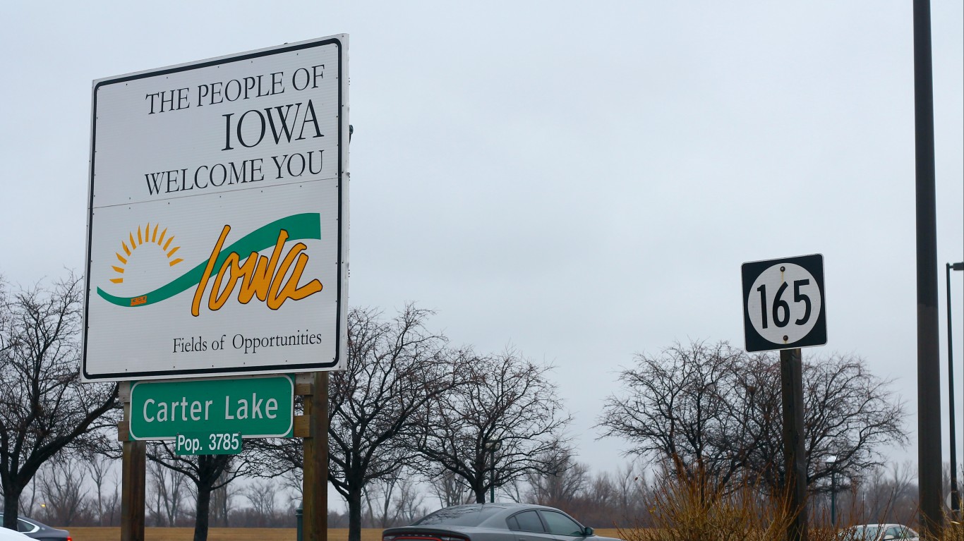
The town of Carter Lake, Iowa, sits oddly on the Nebraska side of the Missouri River, jutting out into the eastern part of the city of Omaha. This is due to the river’s changing course.
Today, Carter Lake is partially surrounded by a bow lake, which is all that remains of the Missouri River that once defined the border. The town has attempted to be annexed to Nebraska, but this never materialized. Today, many residents of the Omaha area drive through Carter Lake (Iowa) as a shortcut to get to the Omaha airport.
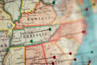
Kentucky
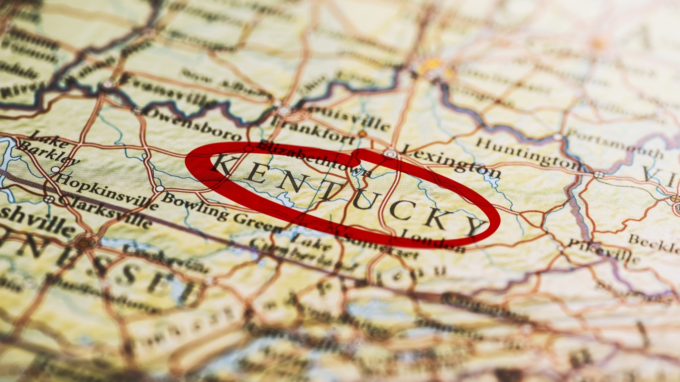
The Kentucky Bend is located in the far western corner of Kentucky. It is a peninsula surrounded by the Mississippi River on three sides and bordered by the state of Missouri, separating it from the rest of Kentucky. This isolated piece of land is only accessible by land from Tennessee to the south.
The Bend was created by the Mississippi River’s natural movement over time, which gradually separated this area from the rest of Kentucky. With a very small population (only nine people live there, according to the last census), there’s not a lot of incentive to change it.
Maryland
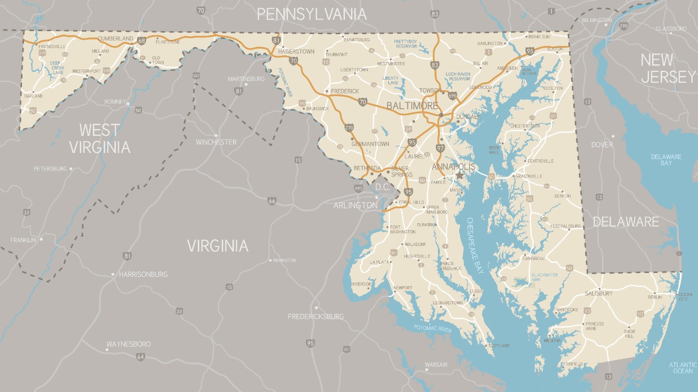
No offense intended to the good citizens of Maryland, but this state looks like what was left after everyone else took a bite of it. Which actually, is more than just a little true. Maryland was founded later than its neighboring state, Virginia. Virginia was established to the south, which set a southern boundary. To the north, the Swedish colony on the Delaware River (later absorbed by the Dutch and then the British), and the subsequent founding of Pennsylvania made up the northern borders of what would become Maryland. Later, the Mason-Dixon Line marked the southern border of Pennsylvania, which further refined Maryland’s shape.
By the time Delaware and Virginia got their pieces of the Delmarva Peninsula and the borders of Pennsylvania and Virginia were extended west, Maryland was left with just a narrow peninsula only 1 mile wide at its narrowest point. Residents in the three westernmost Appalachian counties of Maryland have recently expressed interest in joining West Virginia, as they have more in common culturally and politically with it than Maryland.
Michigan
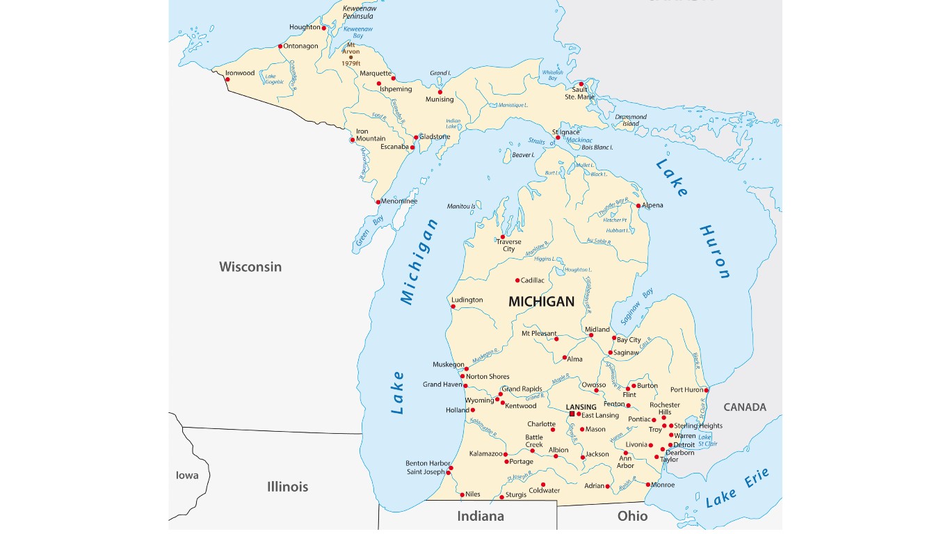
Michigan is divided into two main regions: the Lower Peninsula and the Upper Peninsula, which are separated rest of the state by the Great Lakes. While the Lower Peninsula is attached to the rest of the United States, the Upper Peninsula is only connected to Wisconsin by land.
Michigan and Ohio had a territorial dispute over the city of Toledo. To resolve the conflict, Michigan agreed to give up its claim to Toledo in exchange for the empty but resource-rich Upper Peninsula.
Missouri
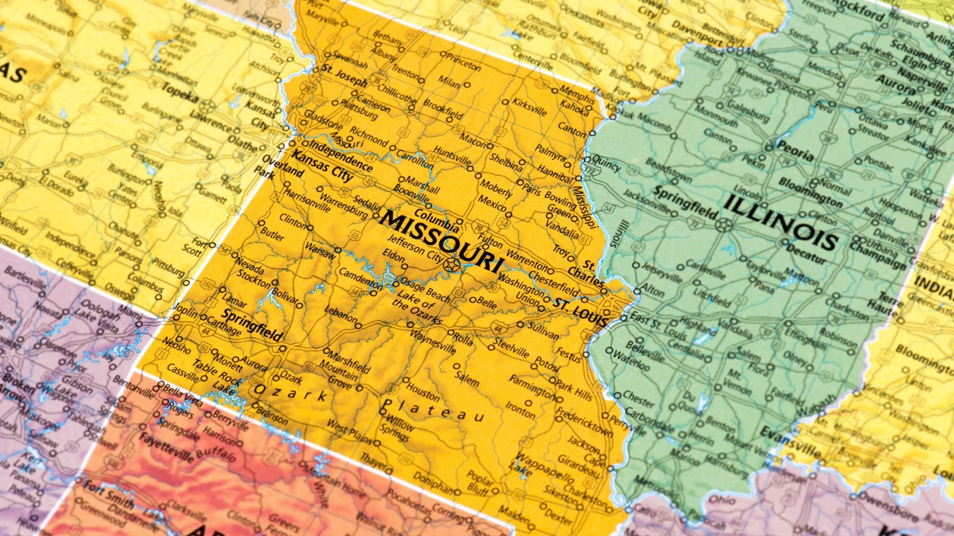
The St. Joseph, Missouri airport is located on the Kansas side of the Missouri River. A loop of Missouri territory was cut off from the rest of the state when the Missouri River shifted course during a flood in 1952.
Oklahoma
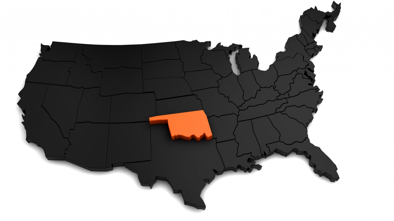
Oklahoma has a narrow panhandle to the West that was once part of Texas. This unique shape is due to the expansion of slavery in the 1800s. In 1820, the Missouri Compromise outlawed slavery north of the 36°30′ parallel (with the exception of Missouri).
When Texas (a slave state) joined the United States in 1845, the panhandle was included in its territory. However, this region was north of the 36°30′ parallel. The U.S. acquired this strip of land from Texas to ensure that the newly acquired territory didn’t fall within the area where slavery was prohibited.
Virginia
The Eastern Shore of Virginia includes the southernmost tip of the Delmarva Peninsula on the east side of Chesapeake Bay. This came about because the British decided to extend the Virginia/Maryland border from the mouth of the Potomac River across the Peninsula. This gave the larger colony of Virginia control of both sides of the mouth of the Bay, a longer Atlantic Coastline, and control of the fishing in the southern half of the Bay.
West Virginia

West Virginia has an unusual shape with a prominent eastern panhandle. The state was formed with some of Virginia’s counties that strongly opposed Virginia’s decision to secede from the Union. Appalachian counties in the western part of the state had economic and cultural ties to Pennsylvania and Ohio and did not want to fight for slavery, which benefitted wealthy plantation owners in the coastal Tidewater region of the state. The panhandle itself includes Virginia’s formerly northernmost counties that did not sympathize with slavery.