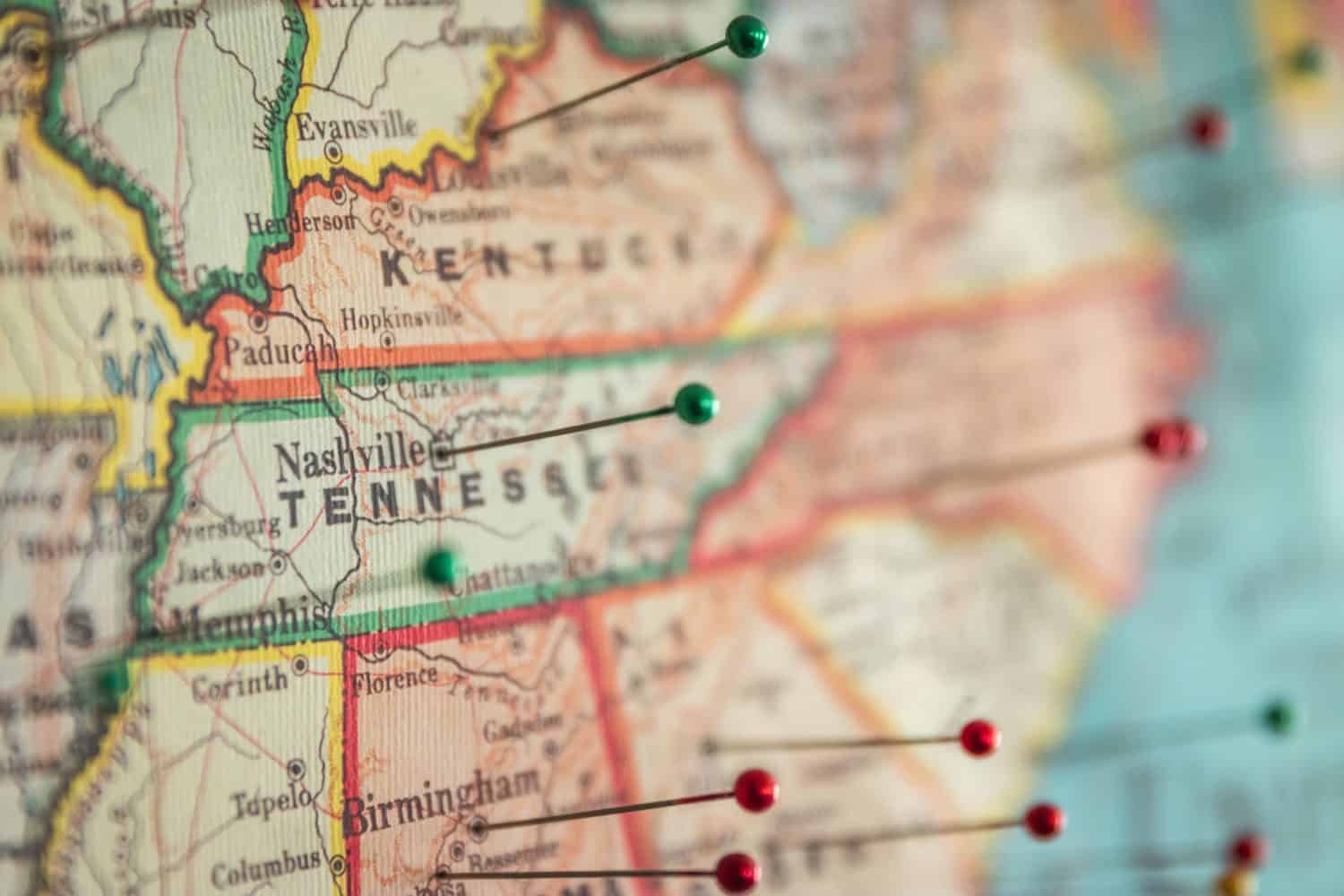
When you look at a map of the United States, you might find yourself flummoxed by the oddly shaped and sometimes hyperextended state boundaries (we’re looking at you and your little arm, Oklahoma). How were our state borders created? The Library of Congress discusses this in reference to Mark Stein’s book How the States Got Their Shapes. During a lecture about the book, Stein shared that “four elements influenced the shapes of the states: the American Revolution, the 1808 proposal for the Erie Canal, railroads and slavery.” But states — and state leaders — also had a role in their development. For example, when asked why California and Texas are so large compared to other states, Stein said that “Congress didn’t create them; they created themselves. And, thanks to the discovery of gold in California and Congress not wanting to risk losing all of Texas by forcing it to dissolve into smaller states, both states were able to retain most of their claims.” (If America had another civil war, would California or Texas dominate?)
It’s no surprise that today’s state borders may be so weird that you still wonder what else the mapmakers were thinking (or drinking) when they came up with this stuff. But these borders, some set arbitrarily centuries ago, now significantly influence our life and our regional economies. Borders can divide natural resources and affect both intrastate and interstate commerce. The way these borders were established represents how and why certain regions are more connected and thriving, or isolated and struggling, than others. To identify the strangest borders between U.S. states, 24/7 Wall St. relied heavily on Stein’s book, as well as historical maps and information. We listed these starting with states who border other countries, followed by states that border each other. Read on to see if you’re as surprised by some of these borders as we were.
Why We’re Discussing Borders
At first, you might not think of state borders as very exciting — but you’d be wrong here. Odd boundaries exist between U.S. states and our neighboring countries, Canada and Mexico. These borders reflect our history: the conflicts, geographies, and occasional compromises we went through in setting up our country. Border changes between states can be annoying — for one, you can get in big trouble for carrying a gun across state lines if you’re not legally allowed to possess the gun in both states — but when our international borders are out of whack, it can become a crisis. The borders between states also represents an economic challenge. In many cases, borders were drawn without a great regard for natural landscape or existing economies — though, at the time they were created, there was no trade network or business setup like there is today.
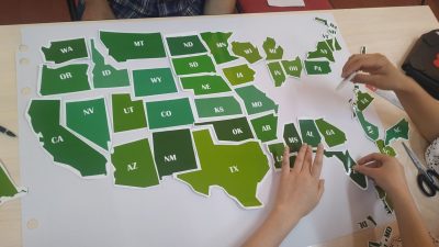
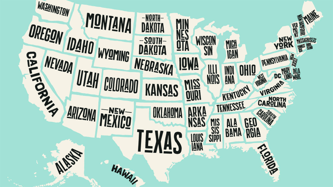
Here are the strangest state borders across the United States:
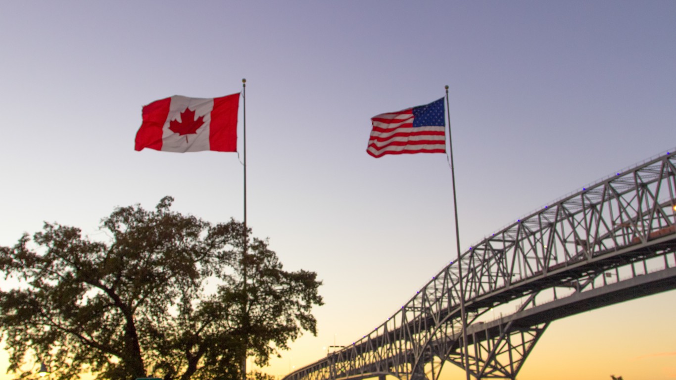
Alaska-Canada
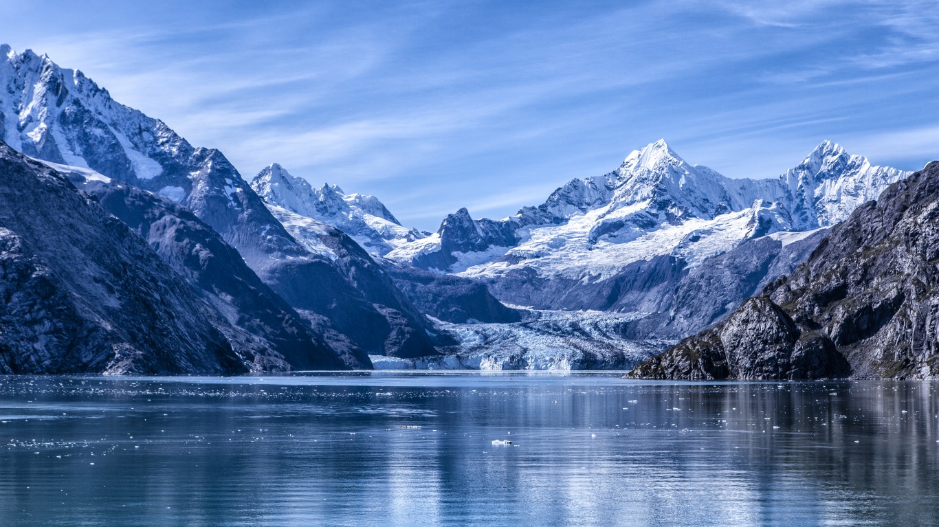
Alaska’s southern panhandle is attached to the rest of the state by a narrow neck of land. This is the furthest south the Russians could claim before the British claimed the rest of the mainland around them. After the U.S. bought Alaska and began negotiating the final border with Canada, the Canadians wanted to get at least part of it to have a Pacific port for the Yukon Territory, where gold had been discovered. But the British, who controlled their foreign policy, went along with U.S. claims to keep the area because they wanted better relations and cooperation in other areas that were more important to them, like the Caribbean.
Minnesota-Canada
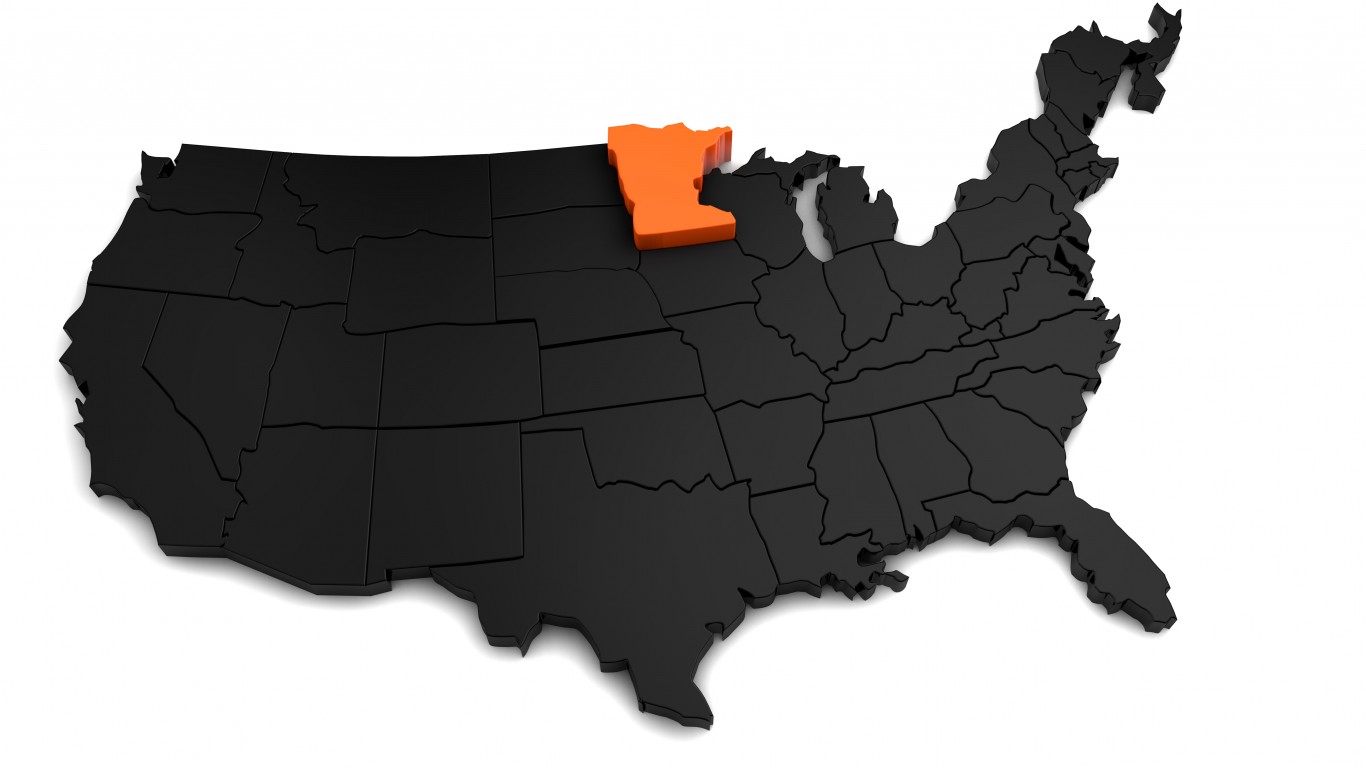
The Northwest Angle is a small “bump” on Minnesota’s northern border that juts into Canada. It’s just a small corner of land attached to a peninsula on the Canada side and separated from the United States by the Lake of the Woods. The Northwest Angle exists because the U.S. and Britain signed treaties recognizing U.S. independence and the boundaries of the Louisiana Territory before this area had been completely explored. The language of those treaties created this anomaly. Although Canada and Britain tried to purchase this little chunk of land to clean up the border, the U.S. refused to sell it because it would change the revered treaty in which Britain had recognized U.S. independence.
Texas-Mexico
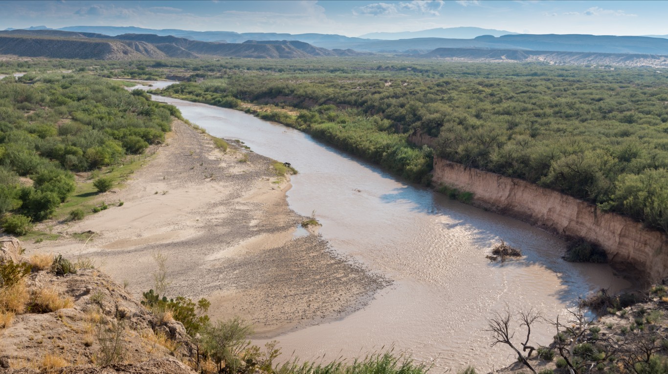
The Rio Grande marks the Texas-Mexico border. But since the river does shift course from time to time, pockets of land become stranded on the wrong side of the border. In 1970, Mexico and the United States signed a treaty to transfer some of these small tracts of stranded land to one another and dig new channels for the river in places to return it to its historic location. The two countries shared equally in the cost of this border revision.
Florida
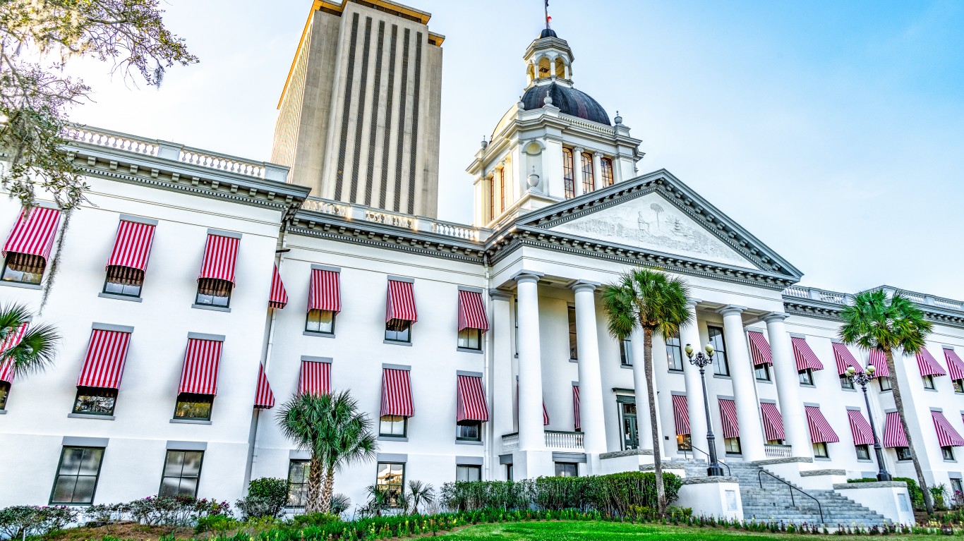
The Spanish colonized Florida and extended its northwestern panhandle all the way to the Mississippi River. Unable to manage and defend all its territory, Spain sold Florida to the U.S. in 1819. The Spanish population was concentrated across the northern part of the state between Pensacola on the Gulf of Mexico in the west and St. Augustine on the Atlantic Coast. Everything west of Pensacola was transferred to Louisiana, Mississippi, and Alabama to make sure they all had access to the Gulf of Mexico. The majority of the Spanish population was kept together in the one state of Florida. The state capital, Tallahassee was chosen as the midway point of the population centers of that time.
Idaho
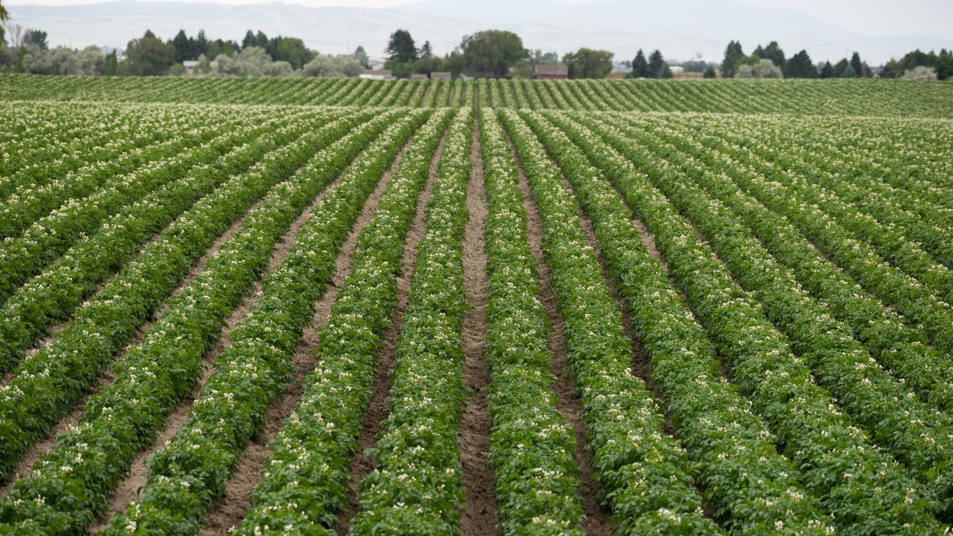
If Idaho looks like Montana broke through and gobbled up about a third of it in the northeast, well — that’s because it did. Gold was discovered in the mountains to the northeast. Instead of creating a straight-line border or a line that followed the Continental Divide, Montana politicians successfully lobbied in Congress (reportedly by privately giving strategic Congressmen substantial “samples” of gold), to make sure the border was drawn with the gold deposits on the Montana side, while Idaho got some very nice potato lands. (It’s kind of fair. I mean, both sides got something they could dig up out of the ground, right?)
Iowa
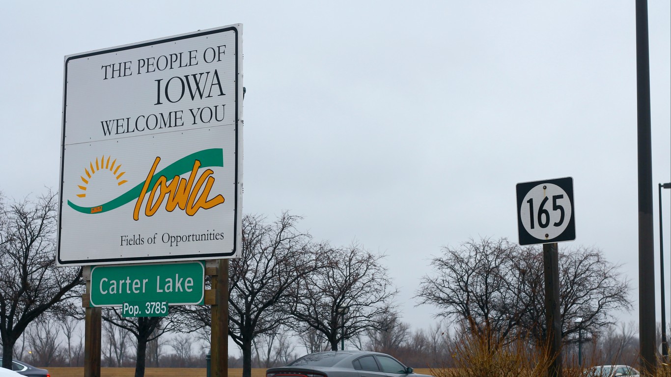
The town of Carter Lake, Iowa sits on the Nebraska side of the Missouri River, jutting into the eastern part of Omaha. It’s partially surrounded by a bow lake that is all that remains of the loop of the Missouri that once defined the border. The town has made some efforts in the past to be annexed to Nebraska but this did not materialize. Today many Omaha-area residents drive through Carter Lake (Iowa) to take the fastest route to the Omaha airport.
Kentucky
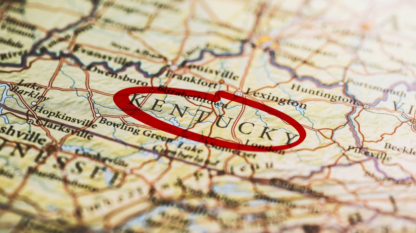
If you look closely at the farthest western part of Kentucky, you’ll find the Kentucky Bend, a peninsula with the Mississippi River and the state of Missouri on three sides, separating it from the rest of the state. The Kentucky Bend is accessible by land only from the south via Tennessee. It’s the result of the shifting course of the meandering Mississippi River, which cut this area off from the rest of Kentucky. As of the last census, just nine people lived there so no one is motivated to do anything about it.
Maryland
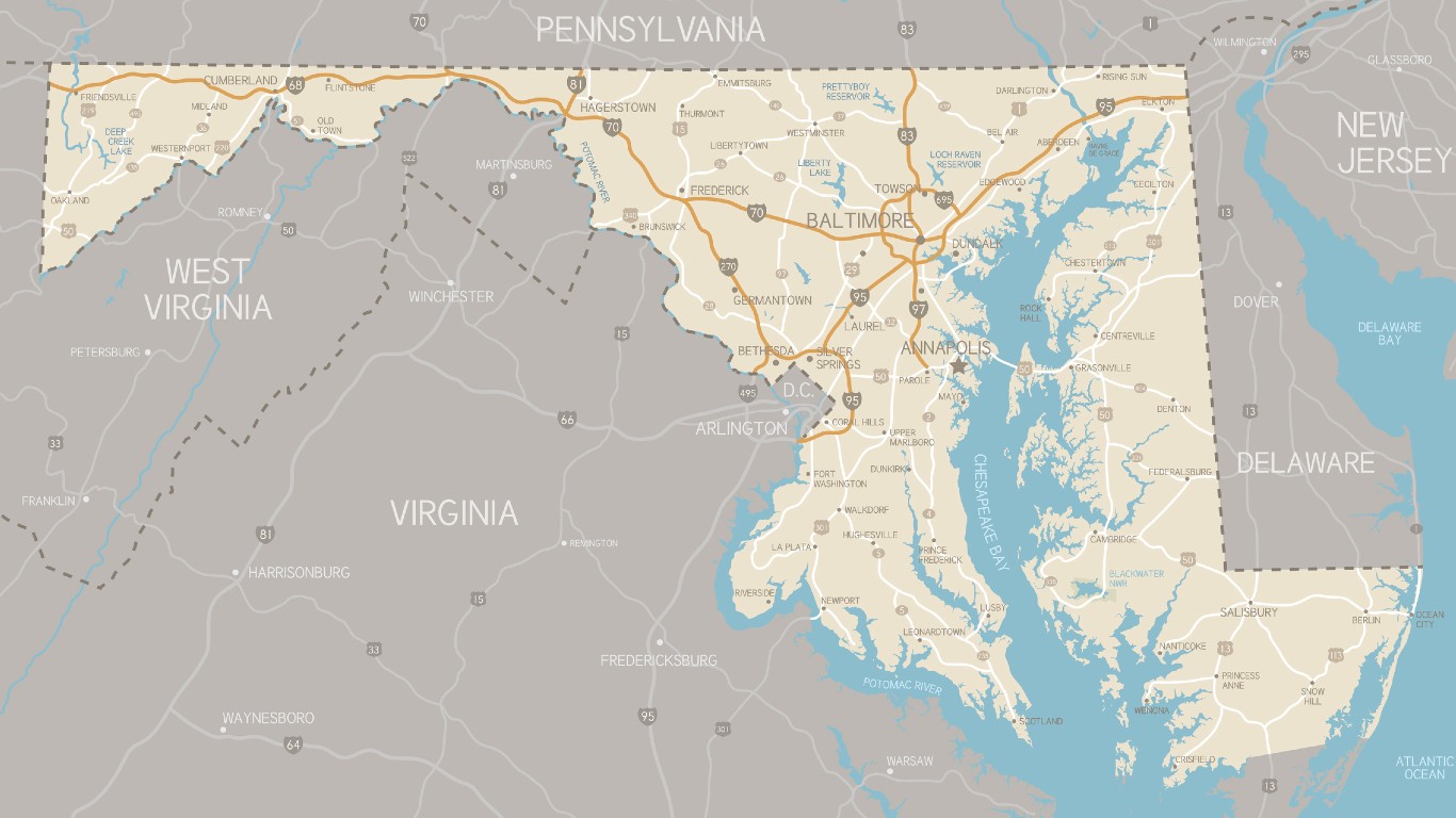
No offense intended to the good citizens of Maryland, but this state looks like a left-over scrap after everybody else took bites of it. And that’s more than a little true. Virginia was founded earlier, to the south of the Potomac. Sweden started a colony on the Delaware River that was later taken over by the Dutch and then the British before becoming the nucleus of the colony of Delaware. Britain doled out a charter to start Pennsylvania to the north and later established the Mason Dixon Line as its southern border. By the time, Delaware and Virginia got their pieces of the Delmarva Peninsula and the Pennsylvania and Virginia borders were extended west. Maryland was left with an narrow peninsula only one mile wide at its narrowest point. The three westernmost Appalachian Maryland counties there today have recently begun agitating to join West Virginia, with which they have more in common culturally and politically.
Michigan
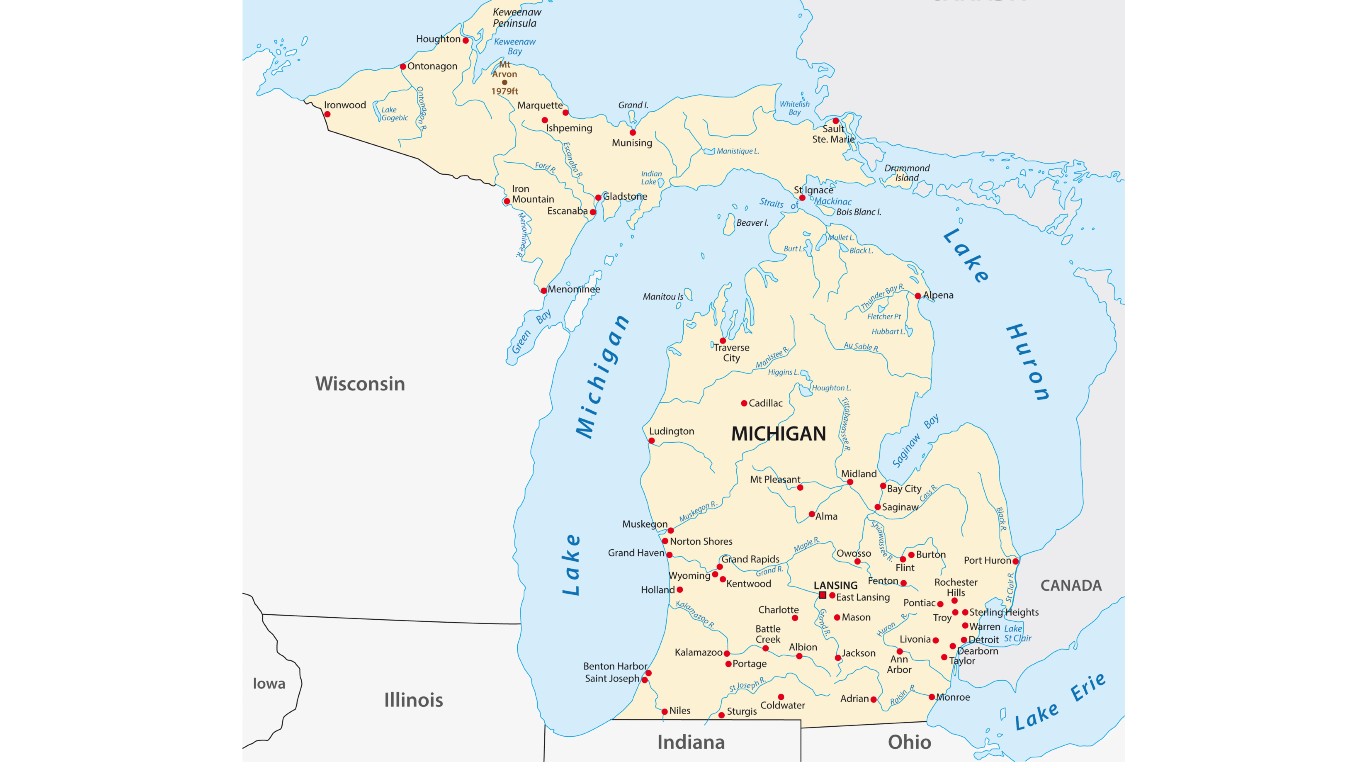
Michigan has a lower peninsula and an upper one, separated from the rest of the state by the Great Lakes, but attached by land to Wisconsin. Michigan and Ohio had a dispute over the city of Toledo. Michigan agreed to give up its claim in exchange for the empty but resource-rich upper peninsula.
Missouri
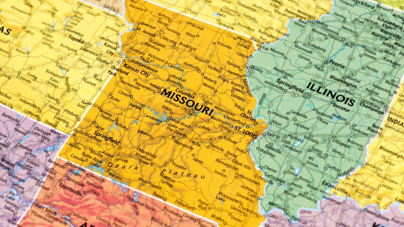
The St. Joseph, Missouri airport is across the Missouri River on the Kansas side. The airport exists on a loop of Missouri territory that was cut off from the rest of the state when the river shifted course in 1952 during a flood.
Oklahoma
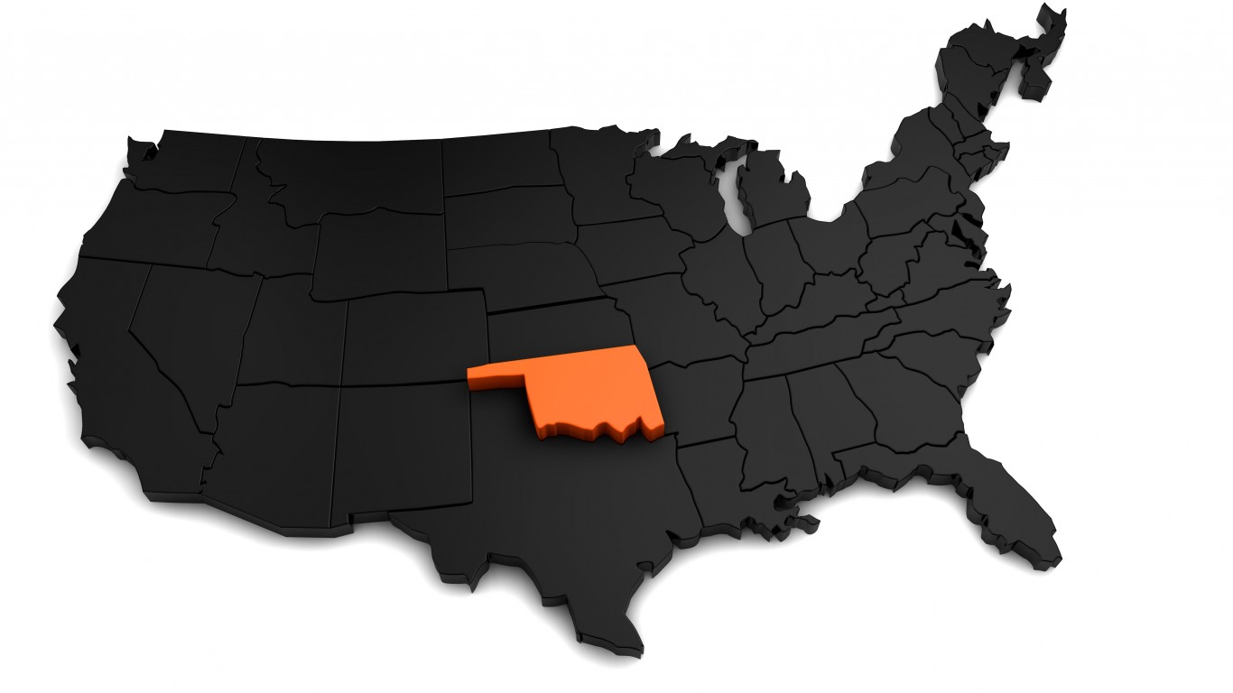
Oklahoma has a narrow panhandle to the West that was once part of Texas. The reason it was detached from Texas was that it was further north than the northernmost limit the federal government permitted for slave states like Texas.
Virginia
The Eastern Shore of Virginia is the southern tip of the Delmarva Peninsula on the east side of Chesapeake Bay. This came about because the British decided to extend the Virginia/Maryland border from the mouth of the Potomac River across the Peninsula. Eventually, this gave the larger colony of Virginia control of both sides of the mouth of the Bay, a longer Atlantic Coastline, and control of the fishing in the southern half of the Bay.
West Virginia

West Virginia has an unusual panhandle protruding to the east because the state was formed out of Virginia counties that were opposed to secession from the Union. Appalachian counties in the western part of the state had economic and cultural ties to Pennsylvania and Ohio and did not want to fight for slavery that benefitted wealthy plantation owners in the coastal Tidewater region of the state. The panhandle itself includes Virginia’s formerly northernmost counties that did not sympathize with slavery.